
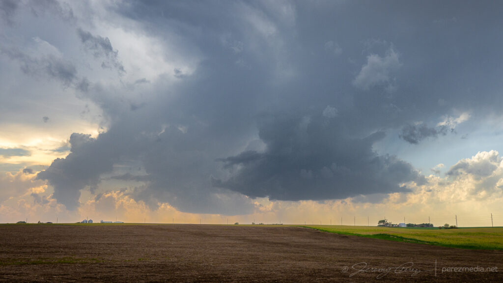
Since early the previous day, I had been interested in the setup from Iowa through northeast Kansas. Instability and shear looked good for supercells. SPC noted tornadoes as a hazard, with better odds further north. Despite that, I opted for the Kansas target and watched for storms to develop along the dryline near Seneca.
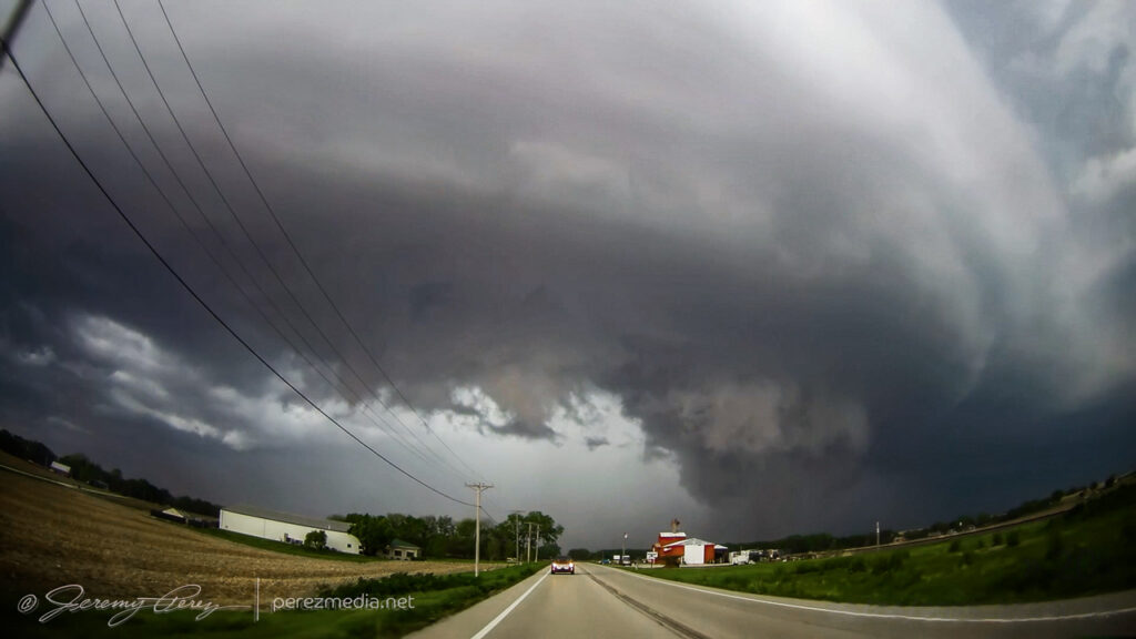
Further south, storms firing near Junction City and moving toward Manhattan were strengthening nicely while the stuff near me was struggling. So I headed west and then south on SR99 to try getting in front of the lead supercell as it moved out of Manhattan. I just barely got out ahead of it at Wamego before rushing east on Highway 24 with the RFD gust front hustling in from behind.
It wasn’t until a couple days later, reviewing footage that I realized the rear dashcam caught a fascinating hybrid tornado. As the RFD curled in, a dusty circulation formed on the highway behind, near Belvue and got draw up into a circulation in the base of the RFD gust front.
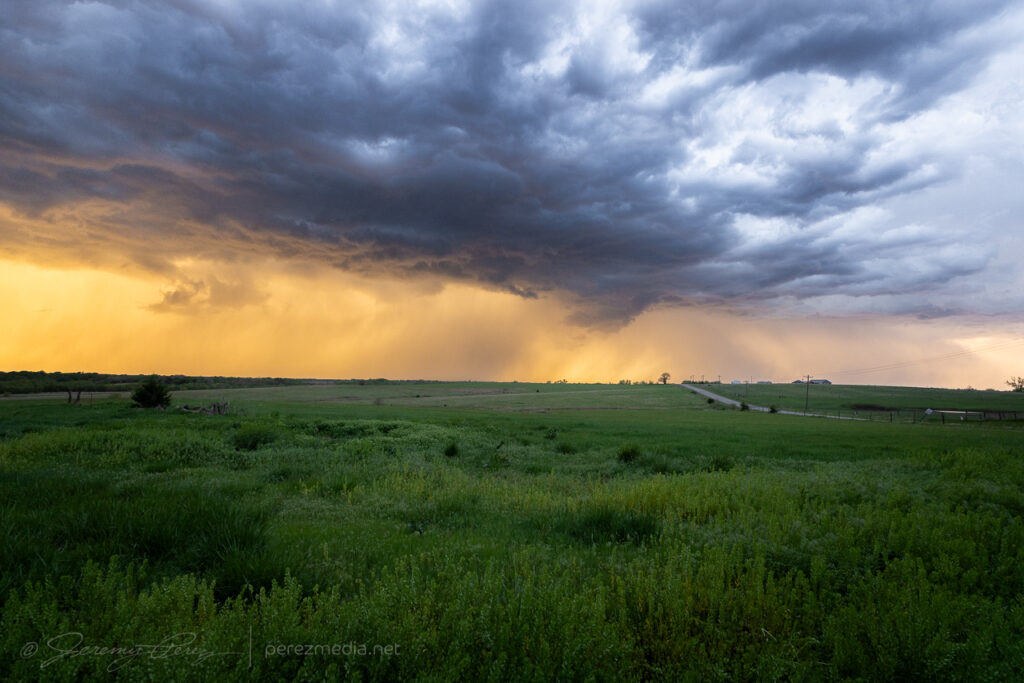
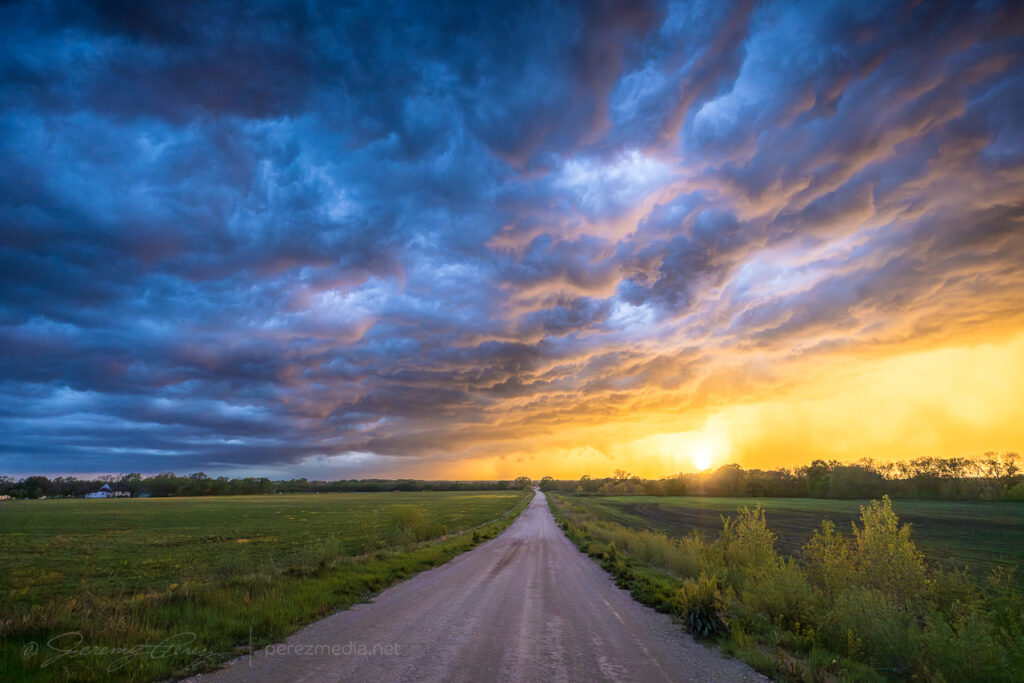
After letting the lead cell rush by, I headed further south, noting a tornado warned cell further southwest in the evolving line. However, nothing particularly cohesive managed to emerge from the line as it moved in across the setting sun.
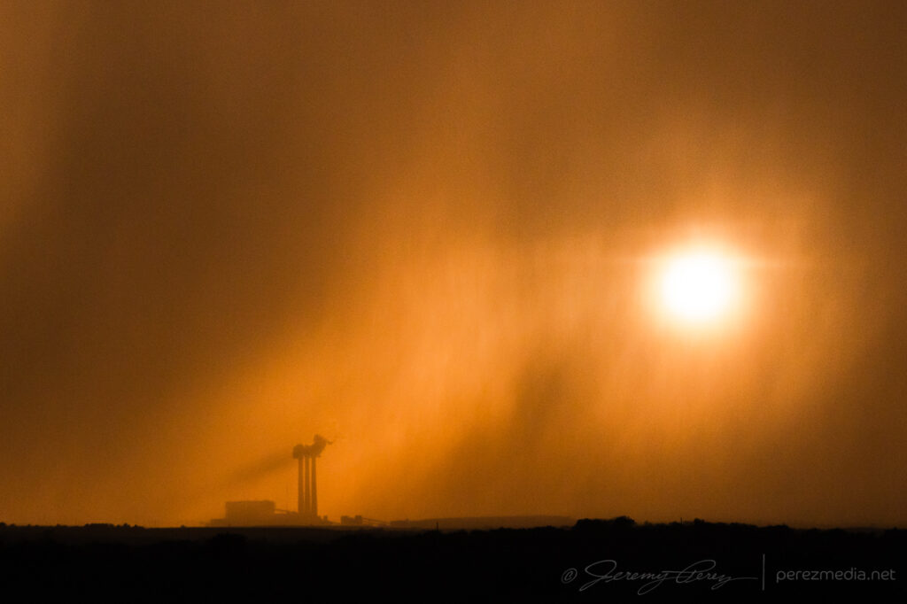
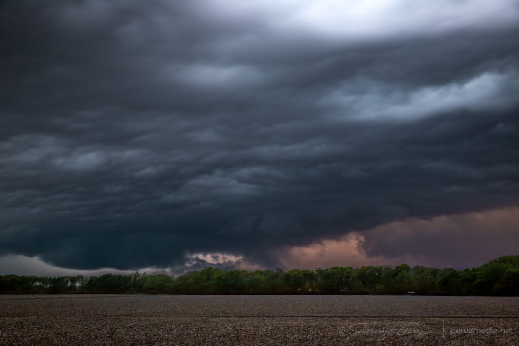
The next decent sized storm moved in after sundown, but didn’t offer much of a show beyond embedded lightning.
Leave a Reply