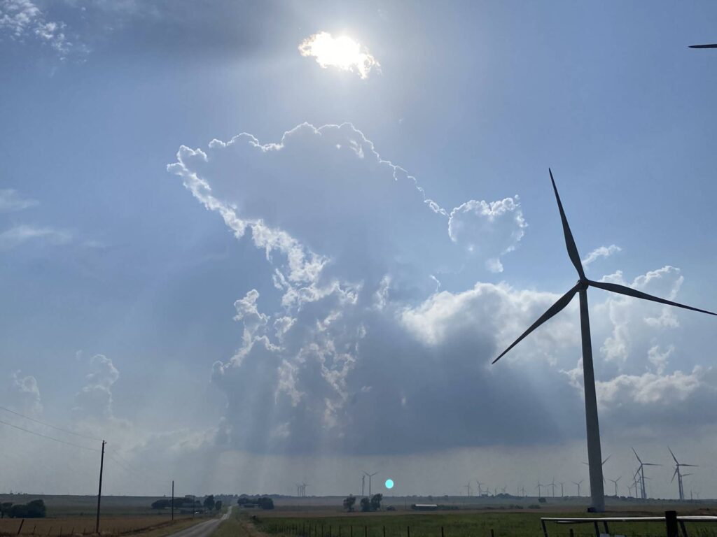
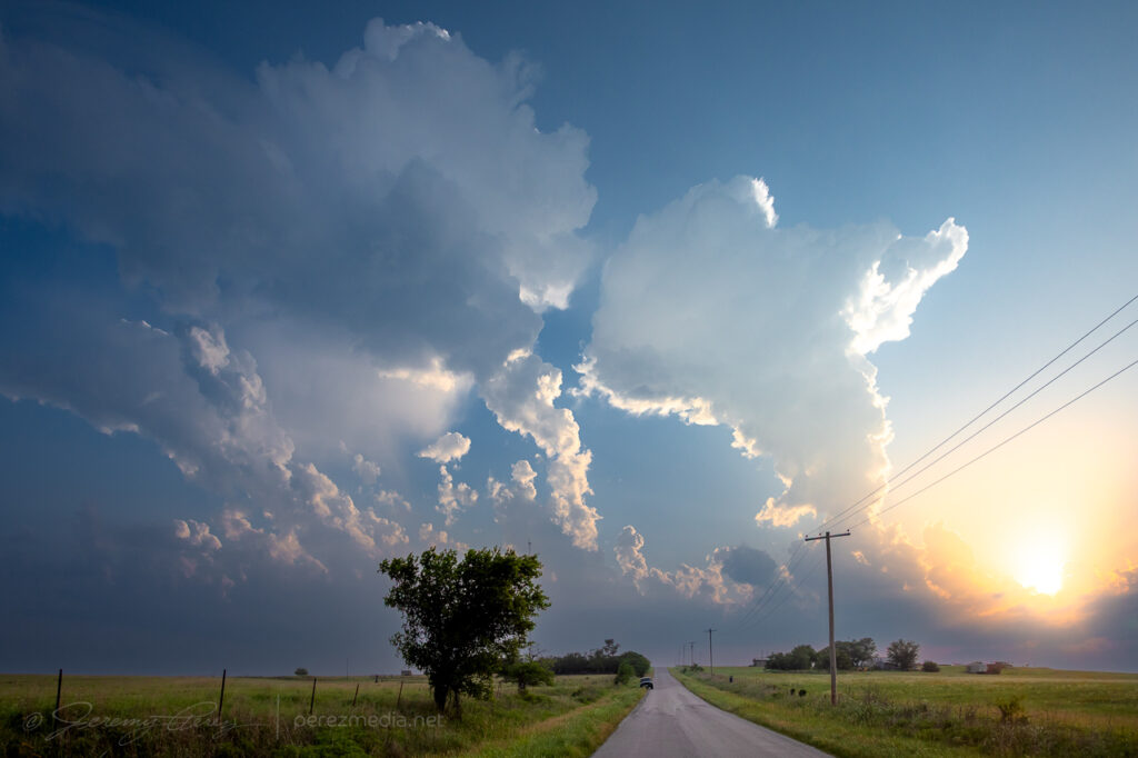
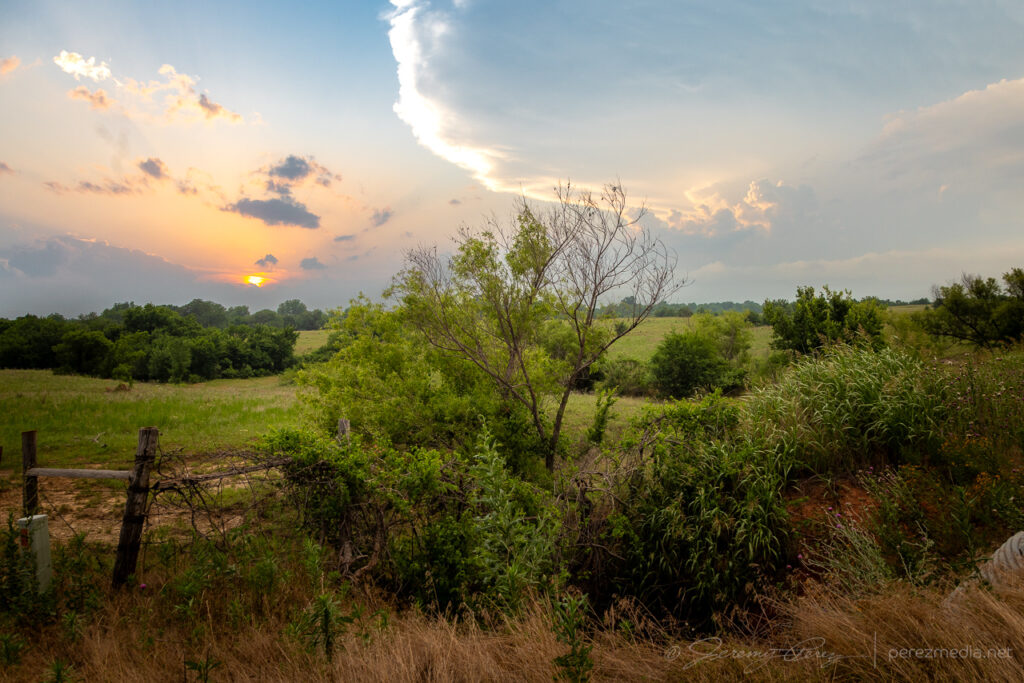
The setup this day featured modest flow aloft for 30-35 kts of shear supported by extreme instability from 4000-5000 j/kg in southwest Oklahoma. I started off south of Weatherford, closer to convergence along the dryline and outflow boundary. Attempts at convection struggled though, reminiscent of the previous day’s fail mode.
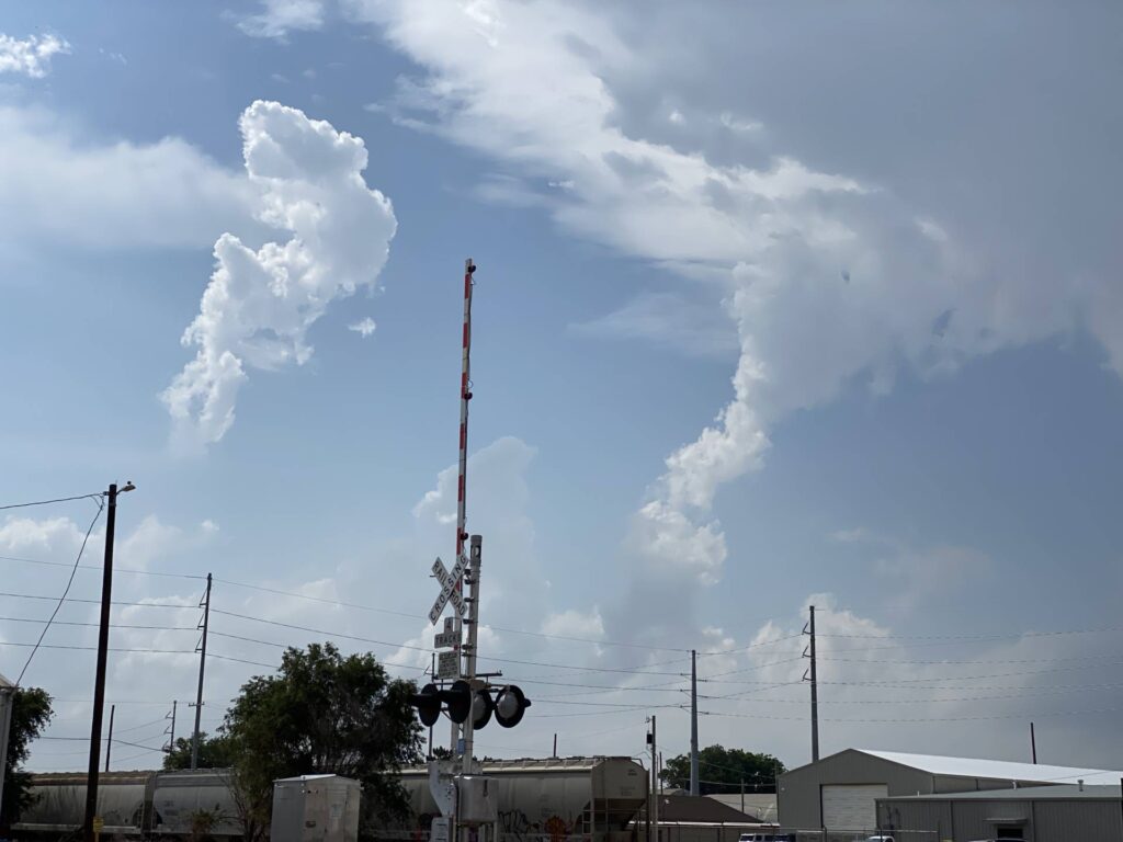
Fearing another turkey tower bust and hustled south toward Lawton as convection finally took off down there just after 00Z.
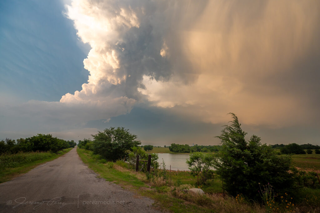
Winding around the west side of a storm is a painful experience as usually spells losing it. But this one was moving very slowly and gave me a chance to wind around its south side, south of Lawton.
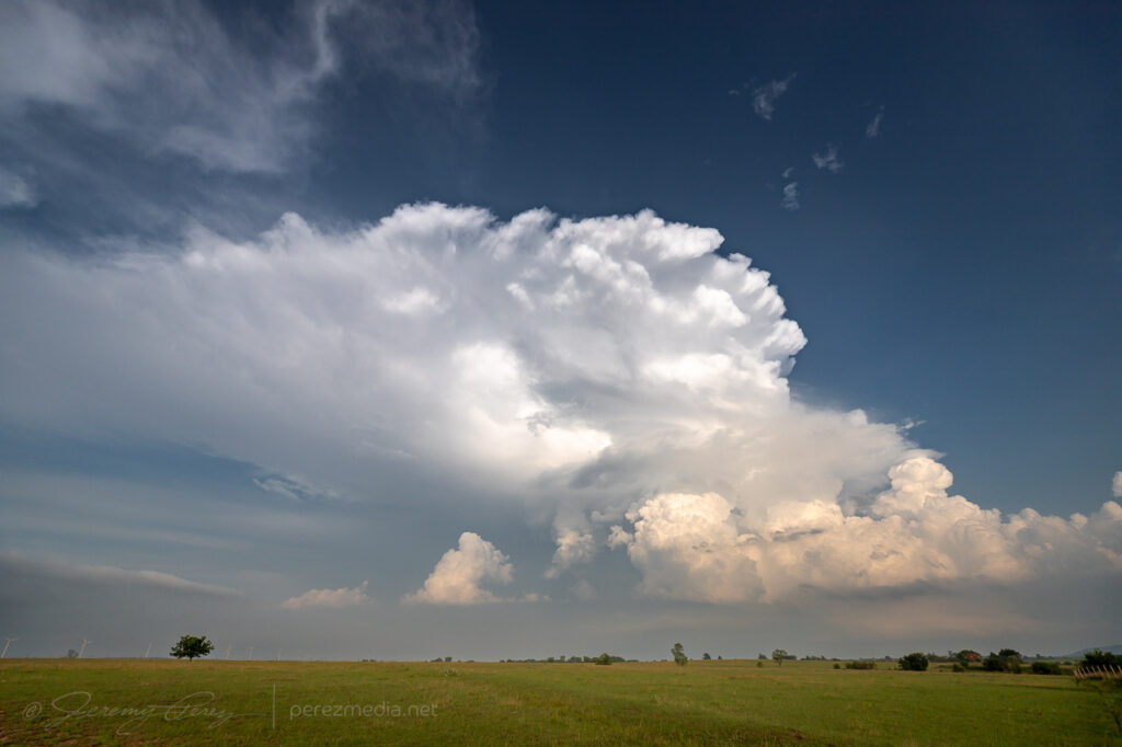
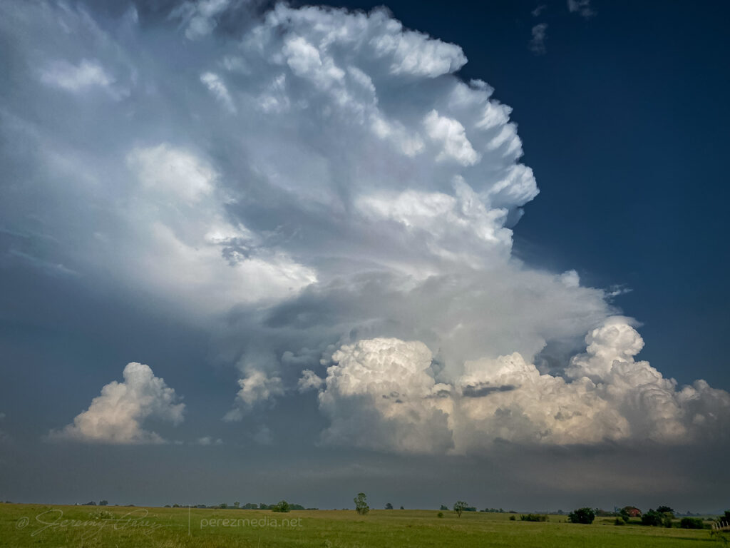
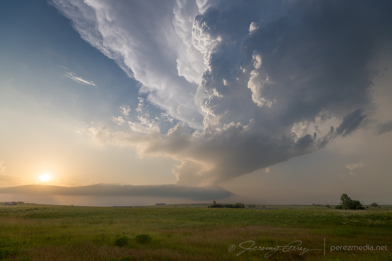
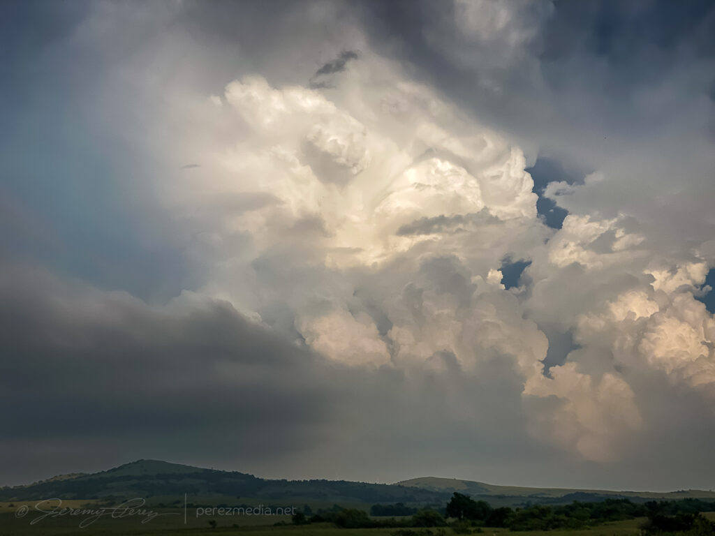
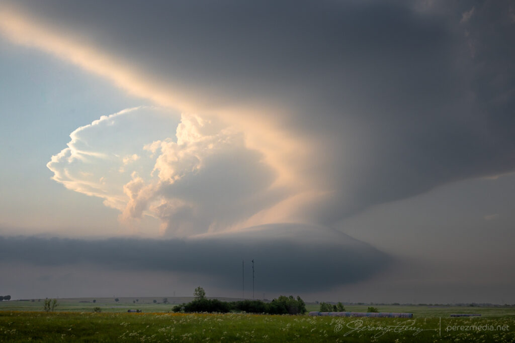
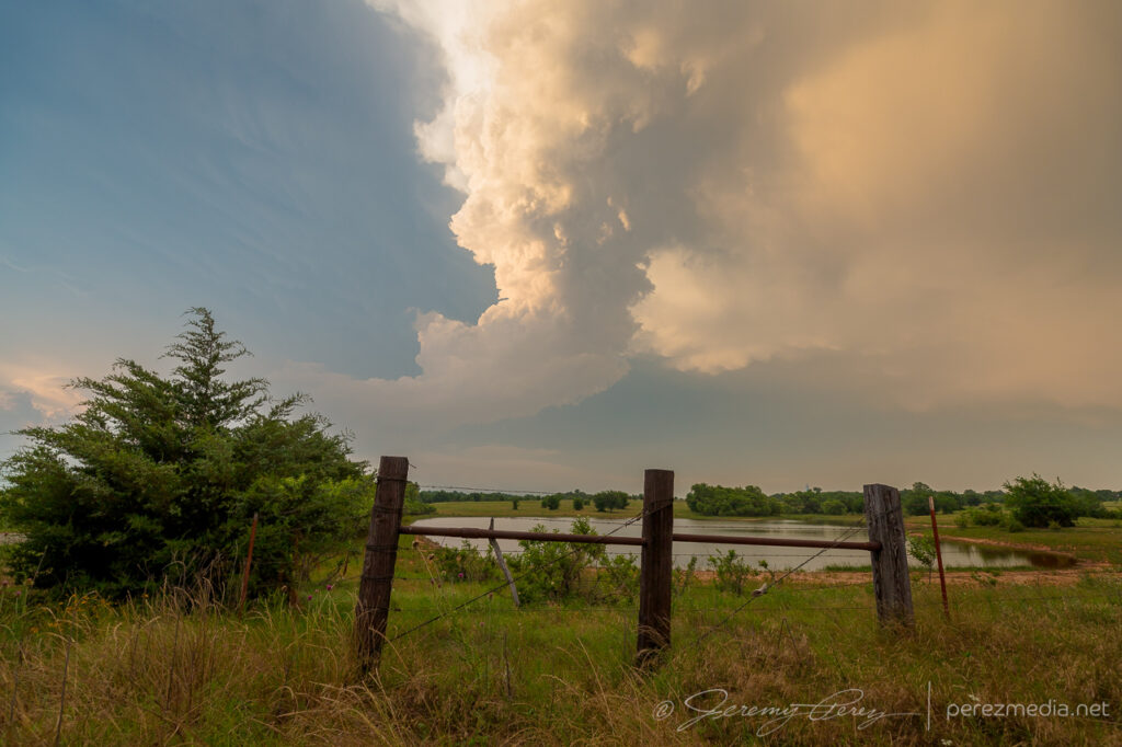
Once I made it around to the east side of Lawton, the storm presented the most incredible view. The base was pinching off, but the tower itself was rocketing explosively to unbelievable heights.

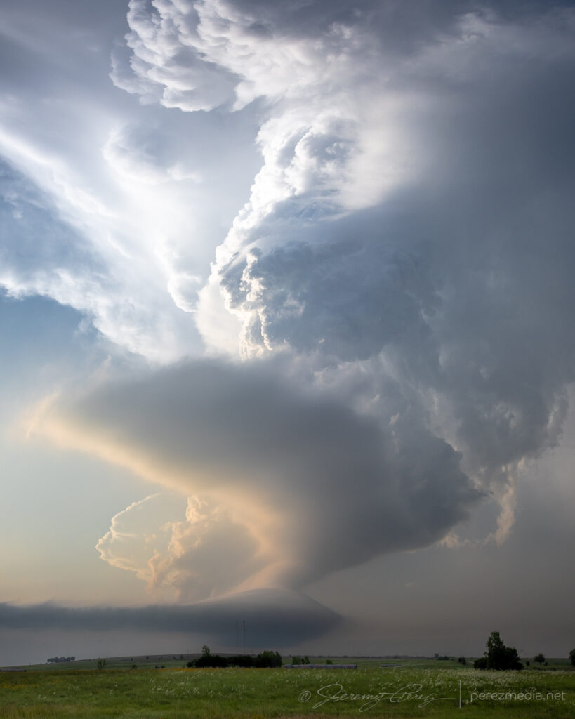
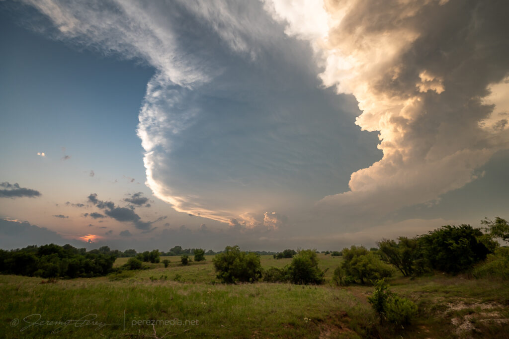
I snagged stills and video, marveling at the intense vertical motion, but was still struggling to reckon with what I was seeing. It seemed like the base itself must by getting obscured by so much haze that I couldn’t make out its full extent. How could the tower be so solid and explosive and just emerging from a pinched-off sliver of hazy base?
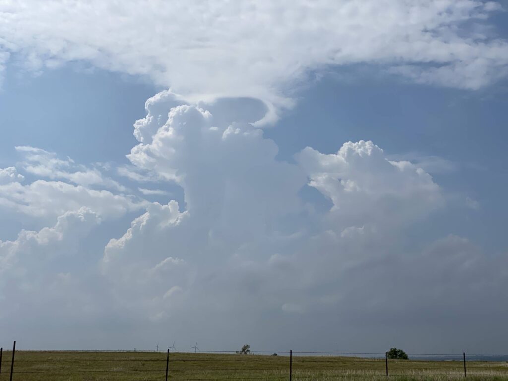
So I took a quick trip north to see if I could make out something more robust in the base closer up. But nothing. It was just a mushy, diffuse raft of cloud lingering over the rolling hills. Nothing to see there. So I raced back south for the better view.
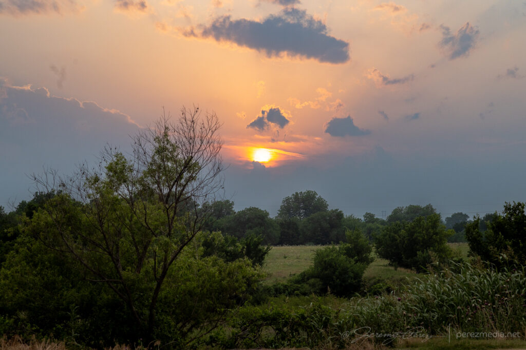
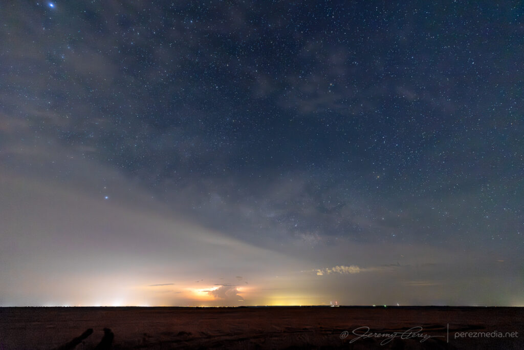
I wrapped the right up near Mangum, shooting some stars and distant storms.
Leave a Reply