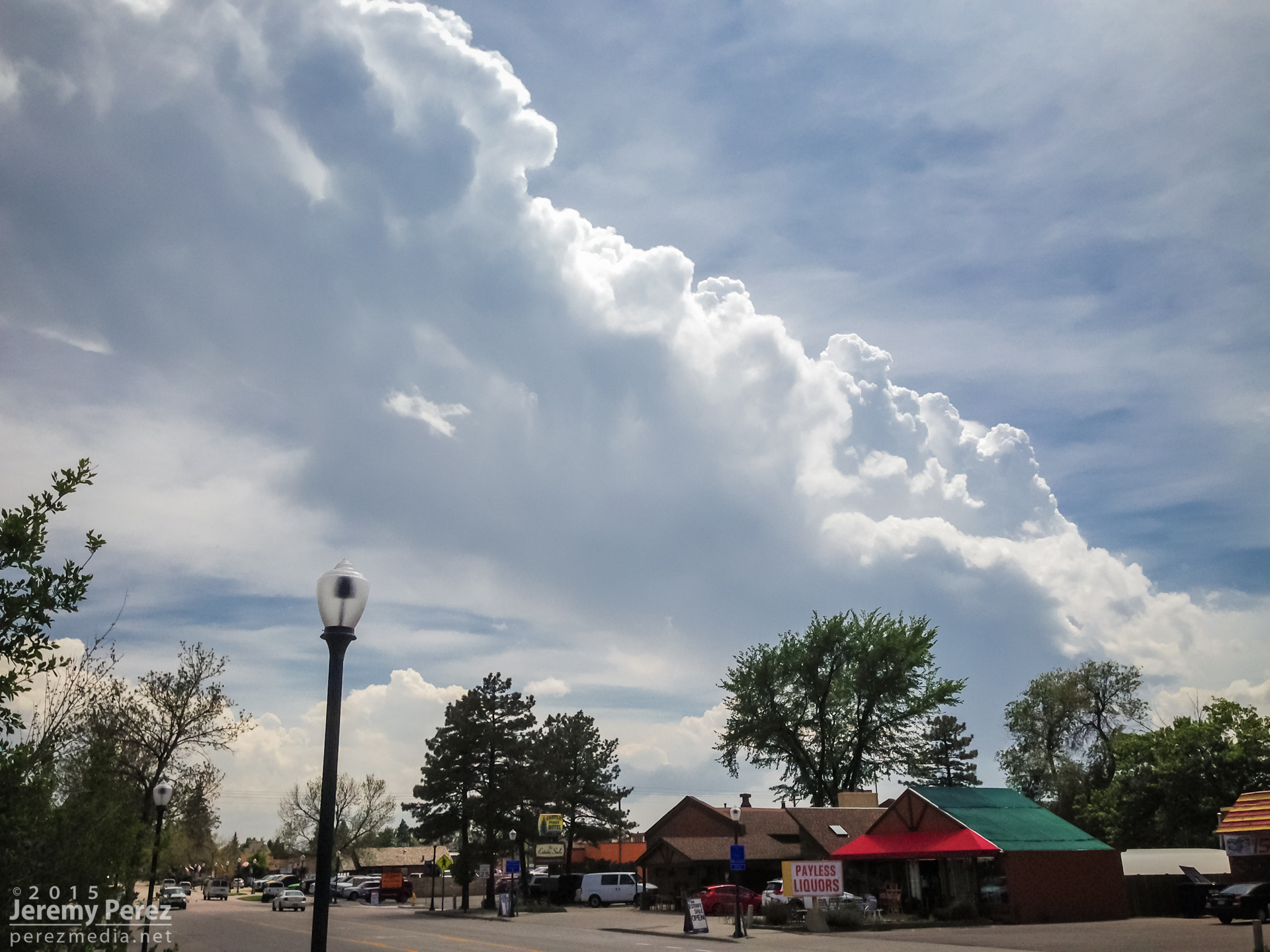
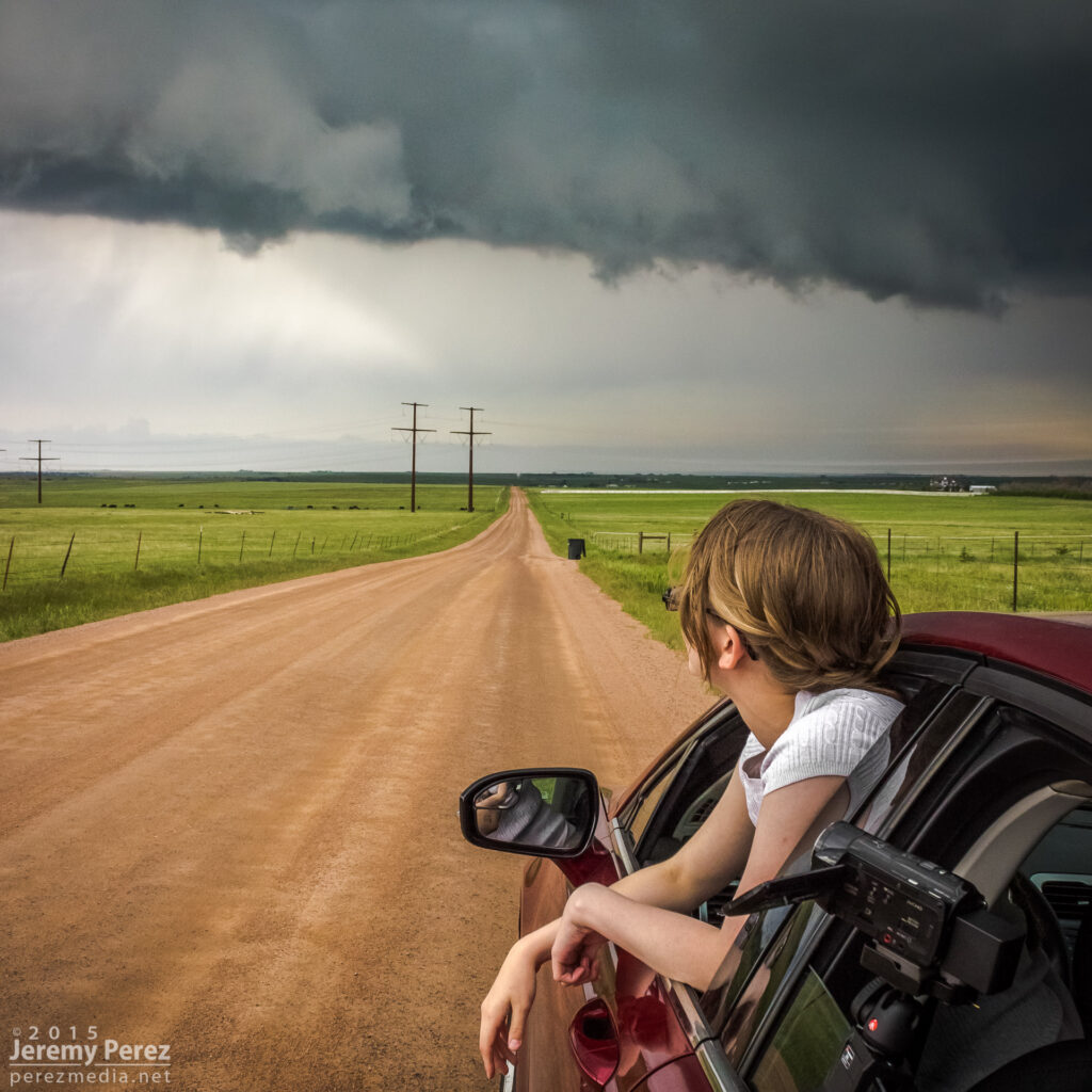
This was the first day of a five-day chase on the high plains with my daughter. After overnighting in the car near the New Mexico-Colorado border on I-20, we made our way up to Castle Rock and watched for initiation along the front range. Before long, a worthy tower went up to our southwest and got sheared into an impressively long escalator of cumulus.

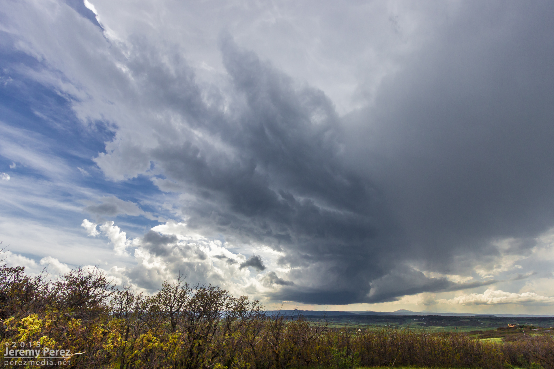
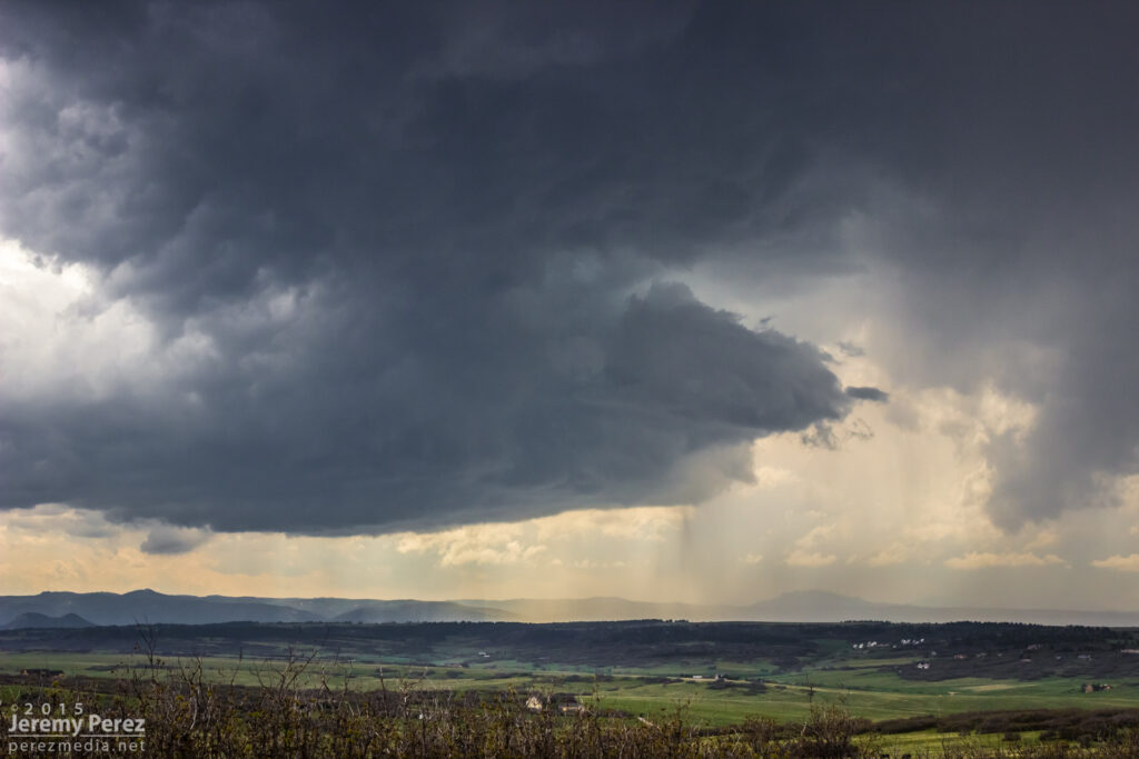
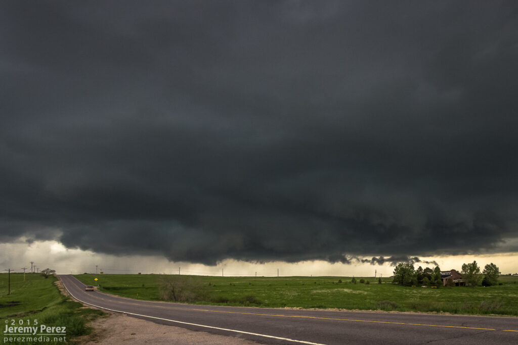
We repositioned further southeast to the east side of Lake Gulch to get in front of it and watch it develop. Before long, we had a beautifully sculpted supercell over the gorgeous Colorado landscape. This is such an incredible place to watch a storm evolve.

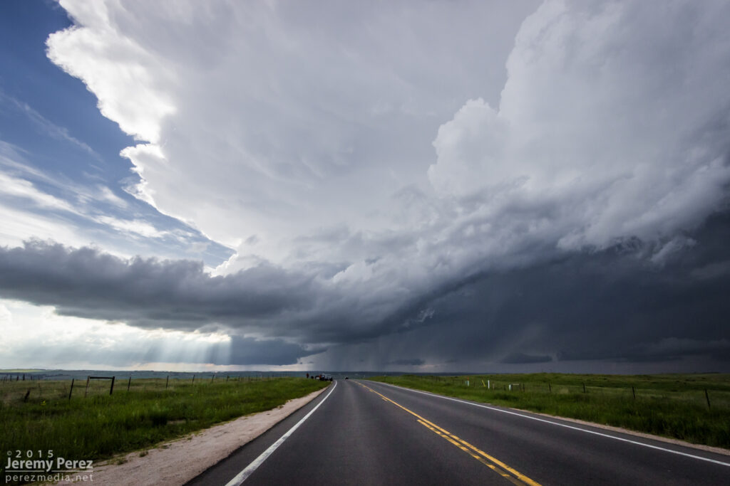
We eventually found ourselves east of Kiowa on Highway 86 as the storm grew more linear and started to wither away.
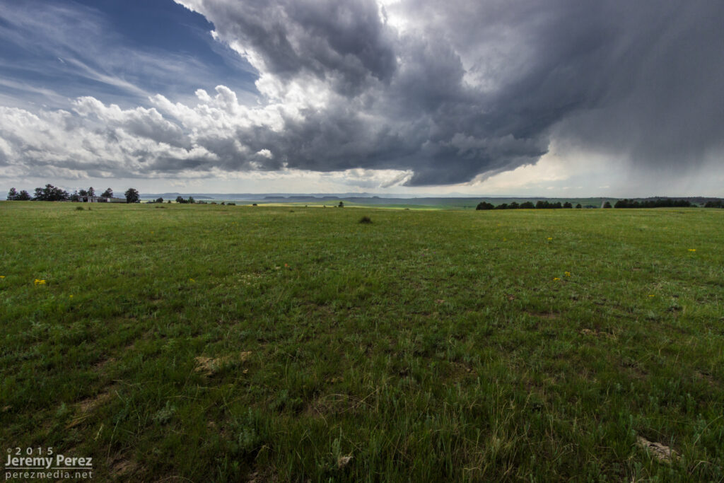
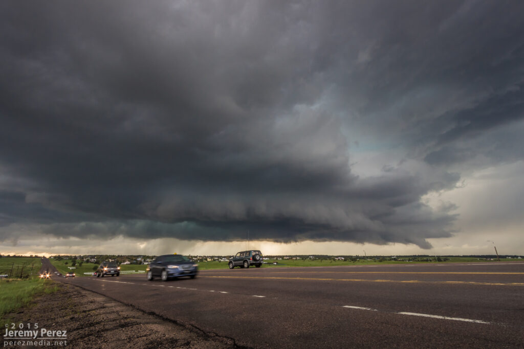
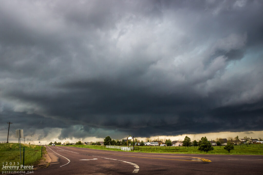
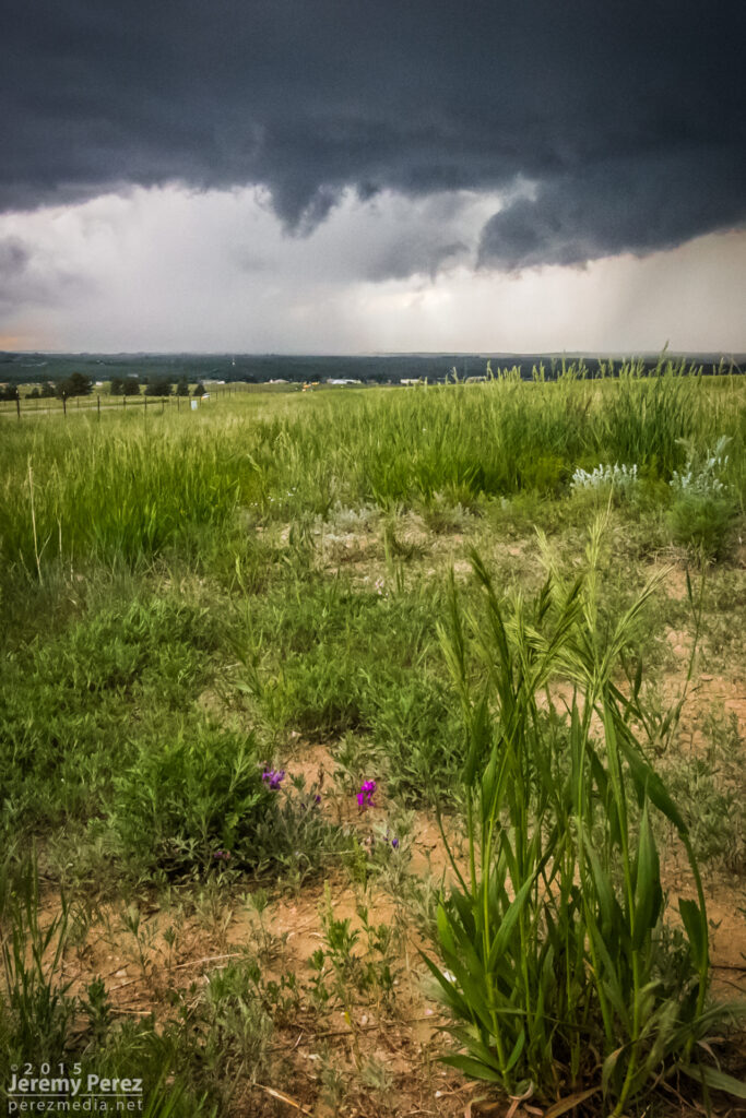
Further west, another cell had taken over and was looking pretty serious as it moved over Elizabeth. Rotation developed in the base as it drifted eastward, but it never wrapped up tightly enough to do more than that.
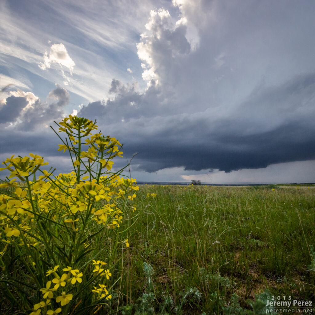
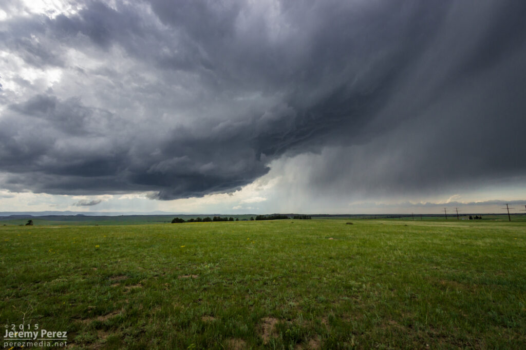
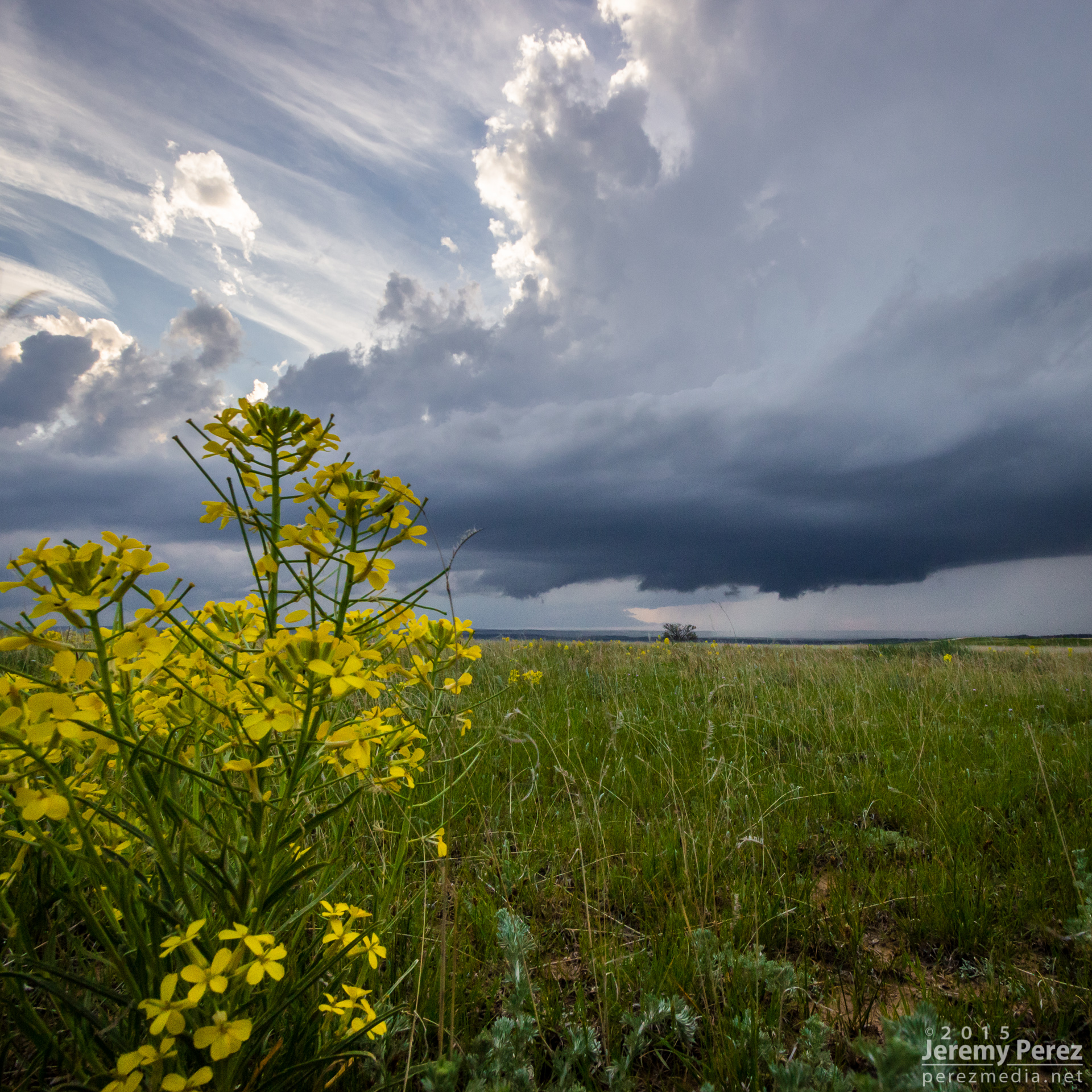
Wildflower and departing supercell near Spring Gulch (right) — 0140Z
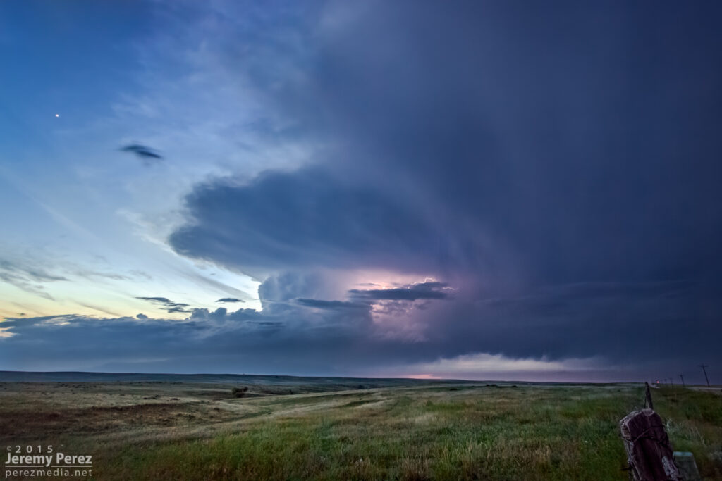
We followed it as it started to move more to the northeast getting an excellent twilight lightning show out of it before calling it a day.
Leave a Reply