Our third chase day came after a very late night of bailing out of our hotel as a tornado-warned storm approached Limon at 2:30 in the morning. But a hotel stay is awesome after sleeping in the car the night before, and we were close to our target area between Limon and Denver. Insolation was a problem and I think the morning’s cloud cover hurt potential for the day, but we still wound up on several supercells.
We caught our first two storms on Kiowa-Bennett Road east of Denver. We followed the second one for about an hour. I made an attempt to get ahead of it on Rector-Leader Road, northeast of Byers, but had to back off. The dirt road was turning to mud the further north we went, and gust front moving in too quickly to give it a shot.
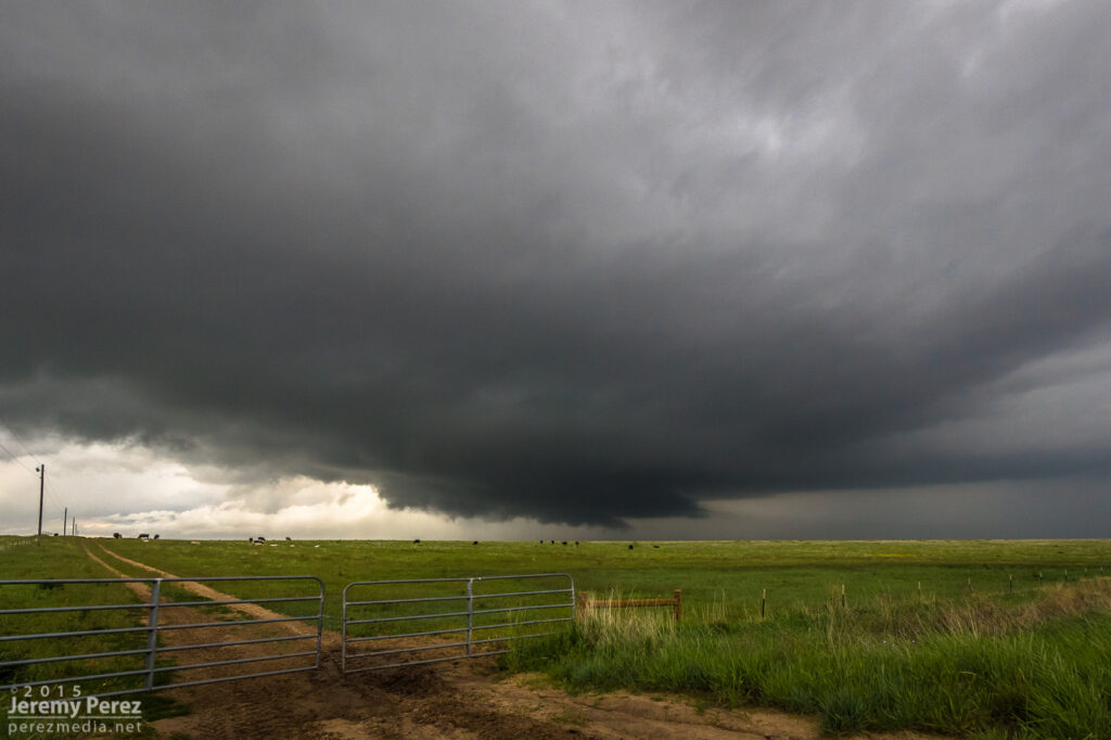
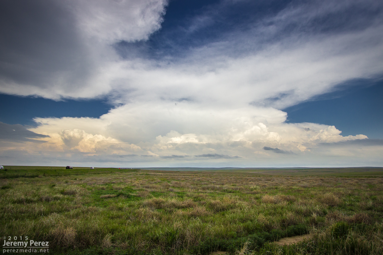
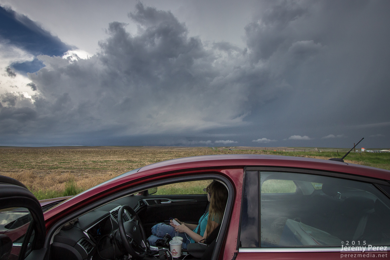
Rain free base on supercell #2 from Kiowa-Bennett Road (top center) — 2055Z
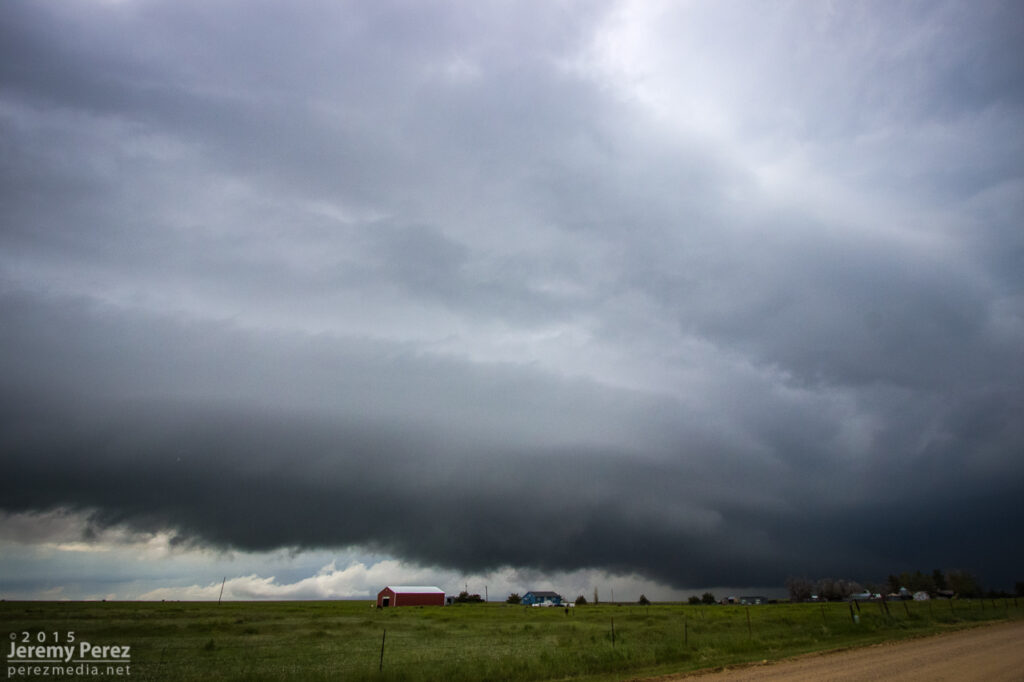
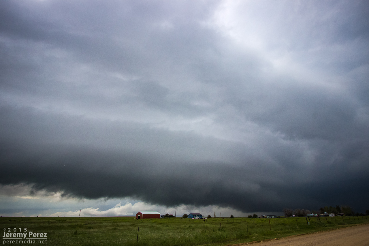
Gust front south of Strasburg (top right) — 2120Z
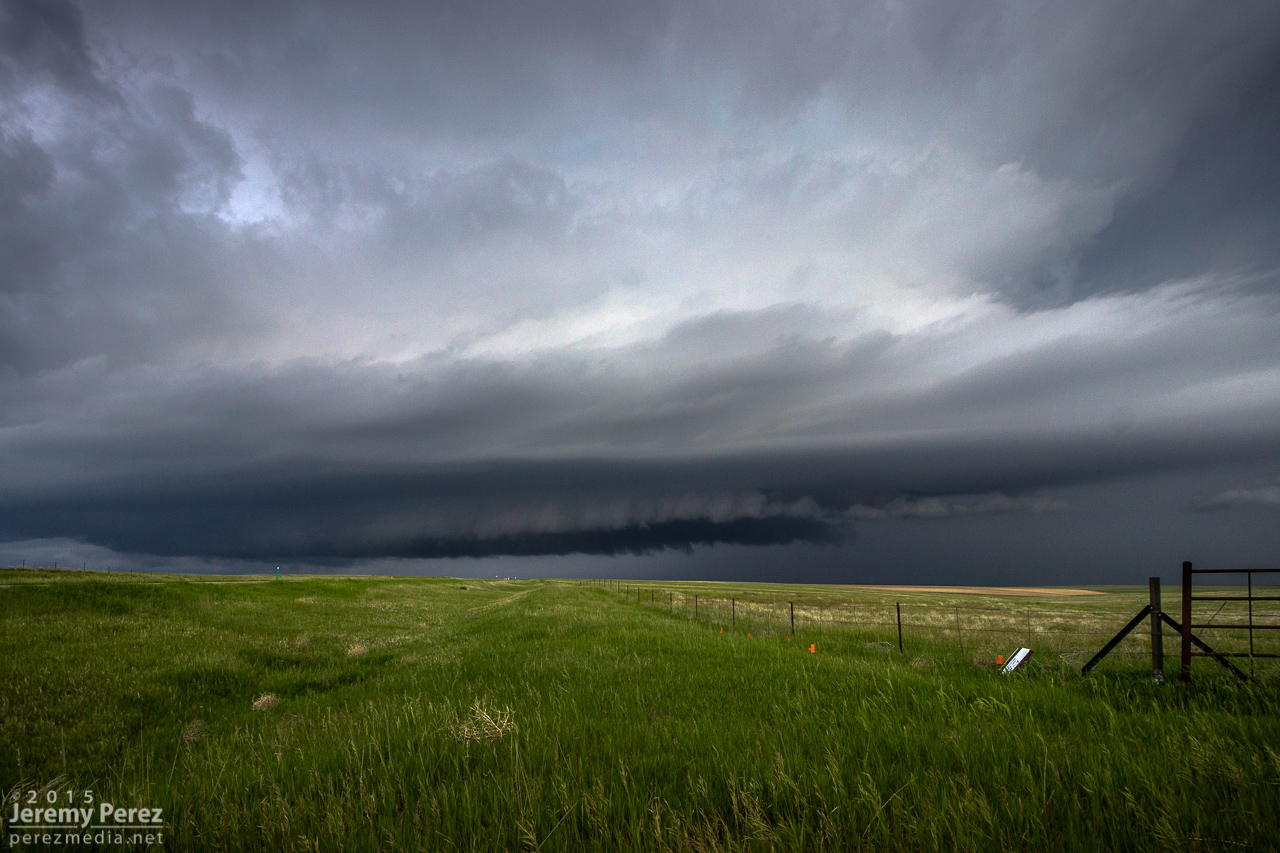
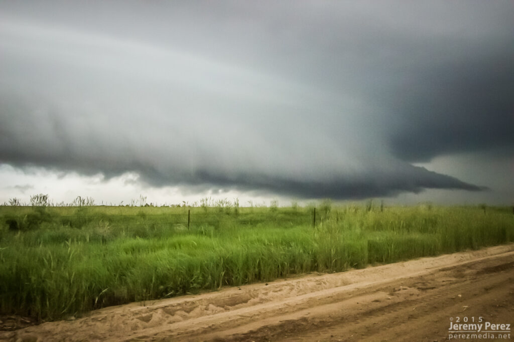
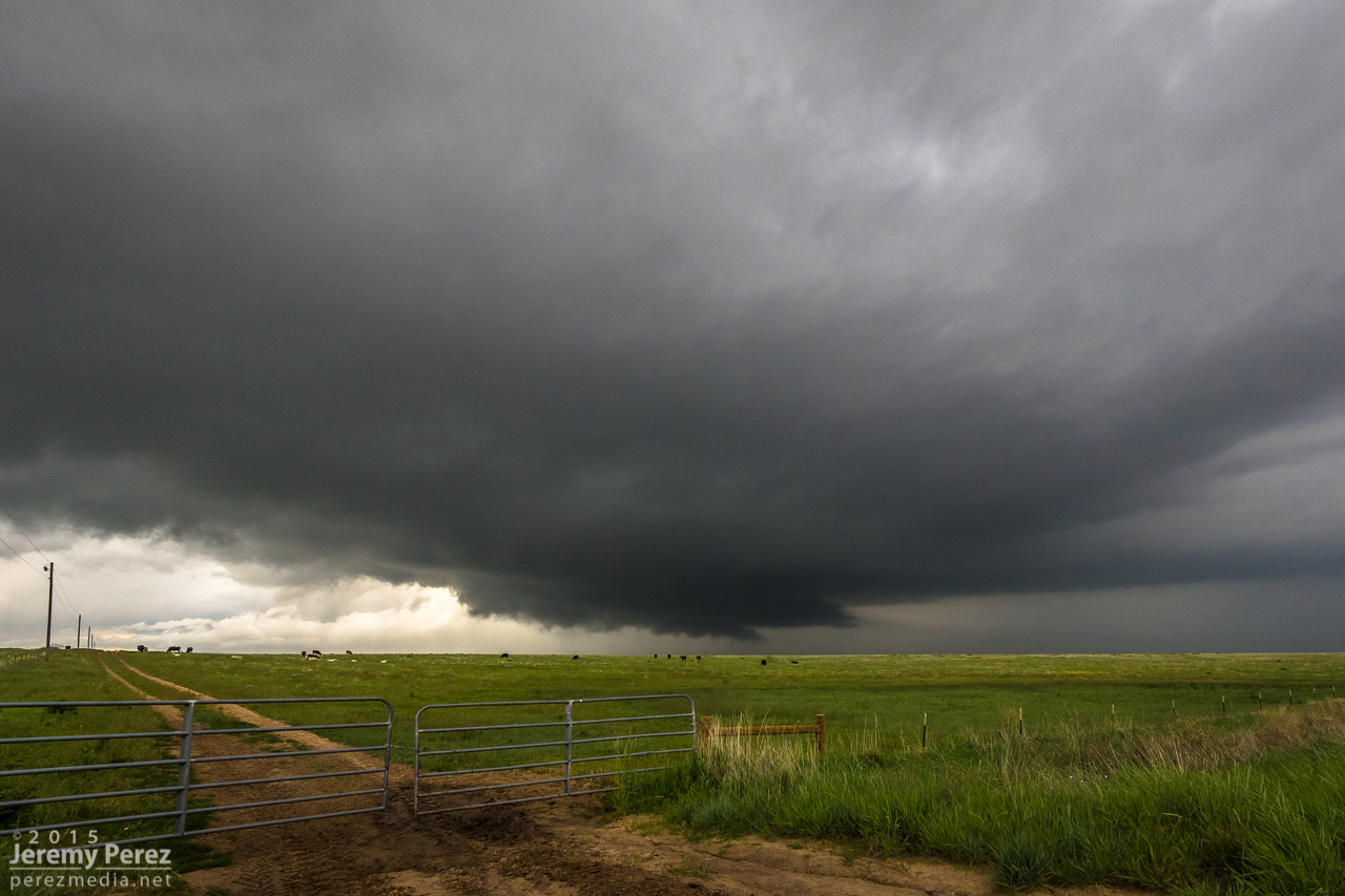
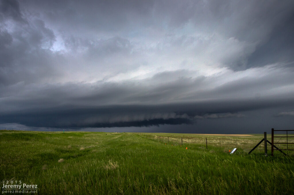
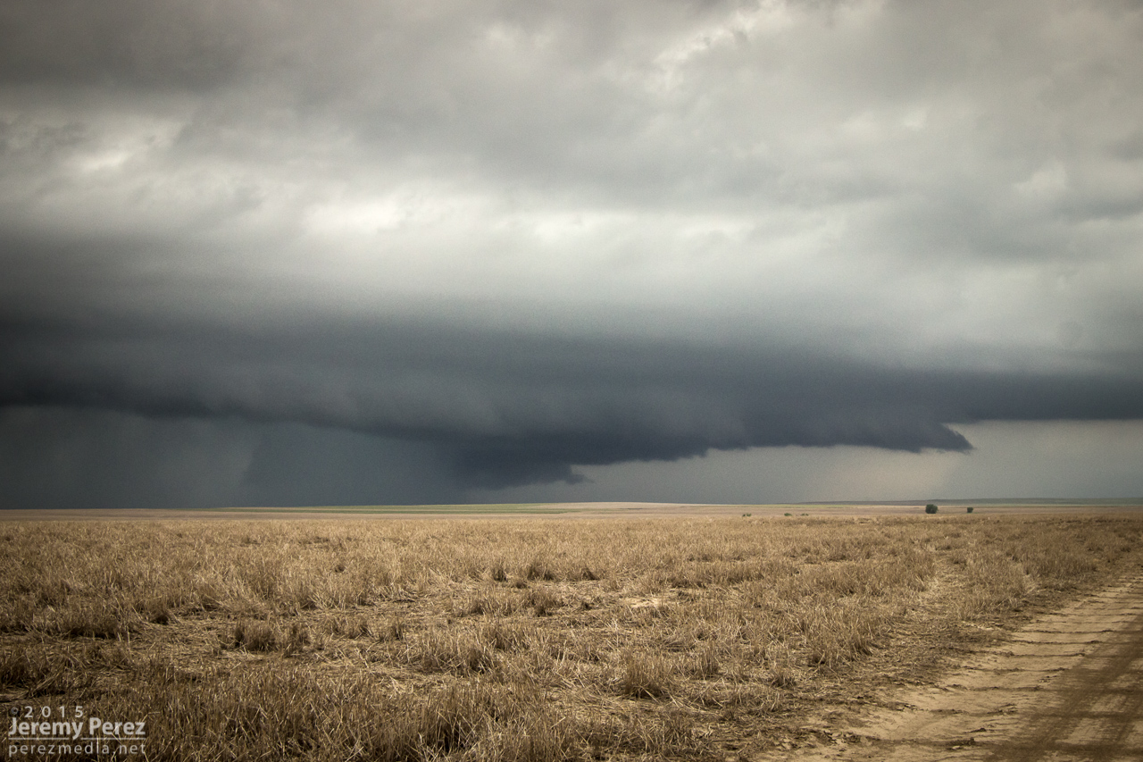
Advancing shelf on Rector-Leader Road (bottom left)— 2200Z
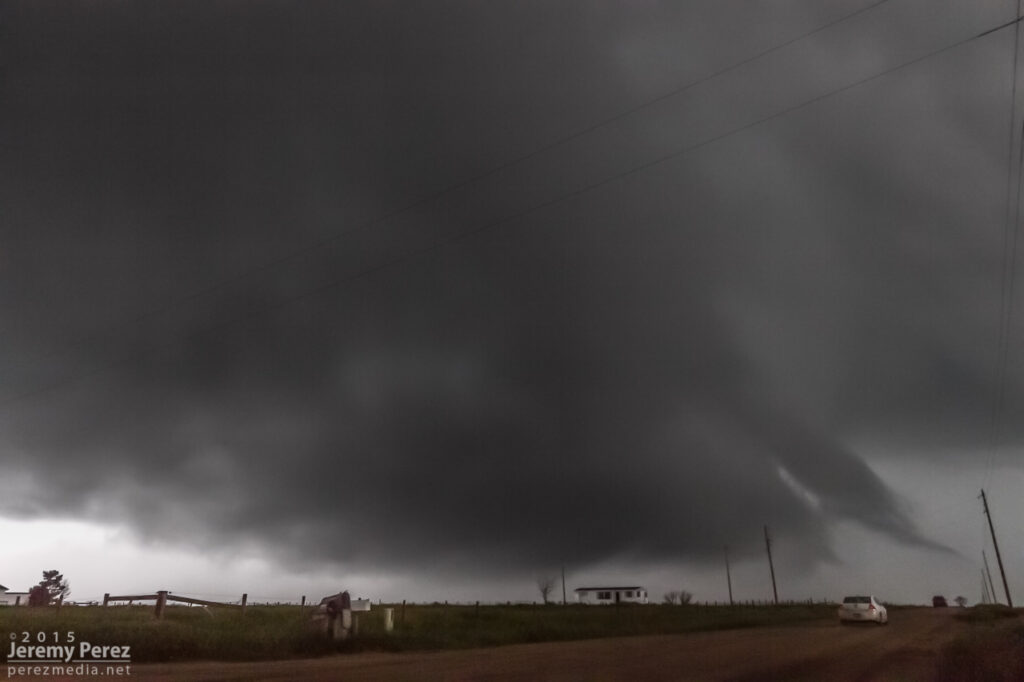
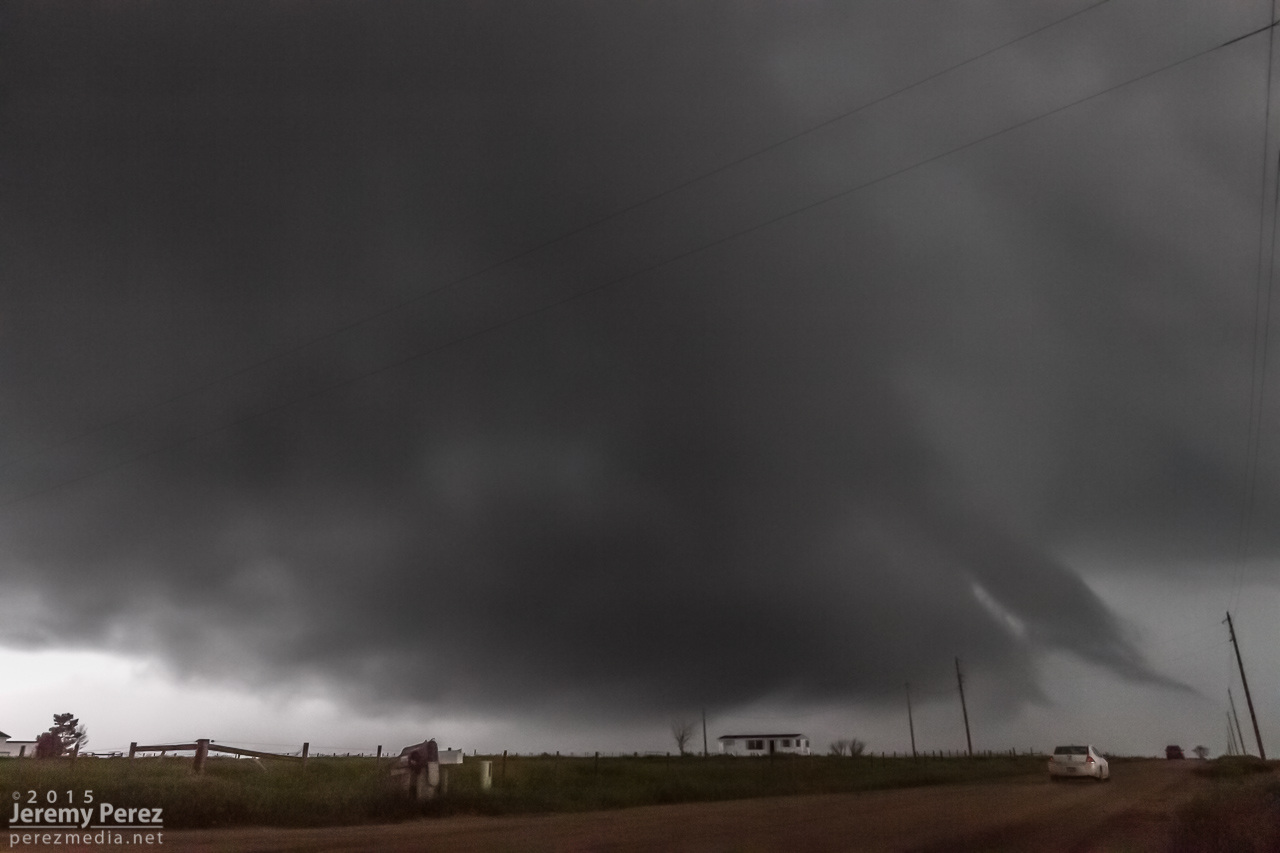
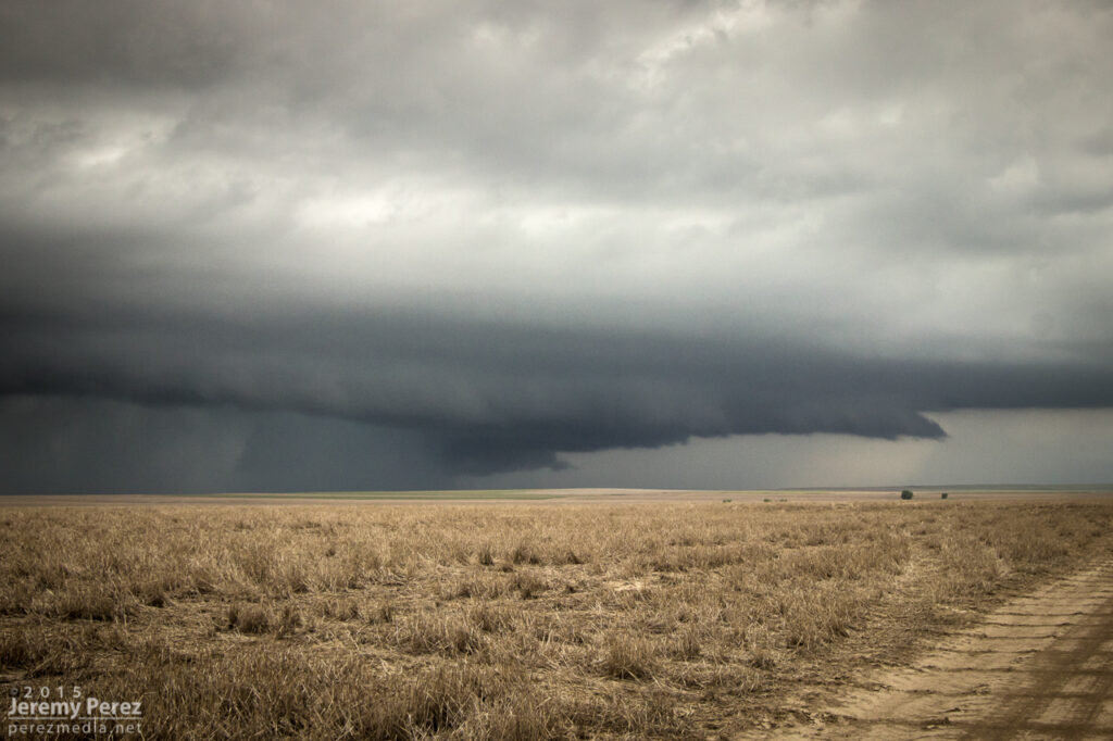
The closest we could get (bottom right) — 2205Z
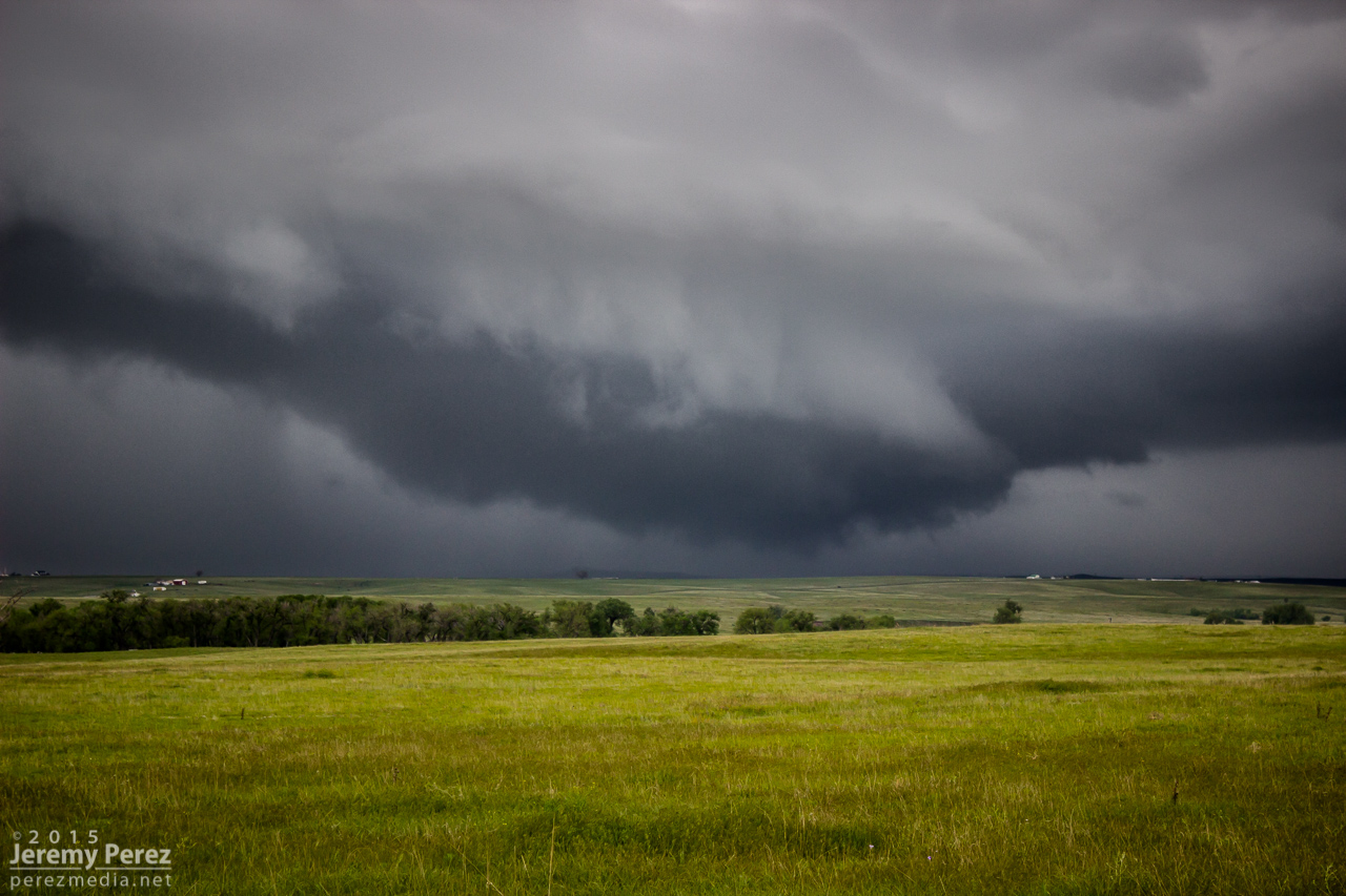
Road options wouldn’t let us stay on that storm, so we bailed on it. While storms 60 miles to the east were getting ready to spin up tornadoes, we waited for another close optin to roll up from the southwest. This one was more strung out, but still nicely structured as it crossed Highway 36 and morphed into a beautiful shelf north of Last Chance.


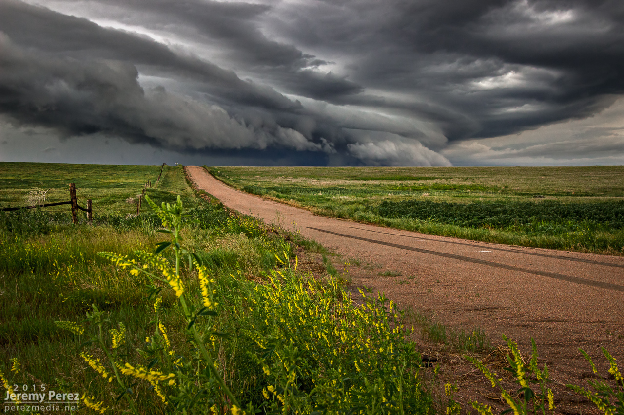
Watching as supercell #3 moves in between Byers and Last Chance (right) — 2230Z

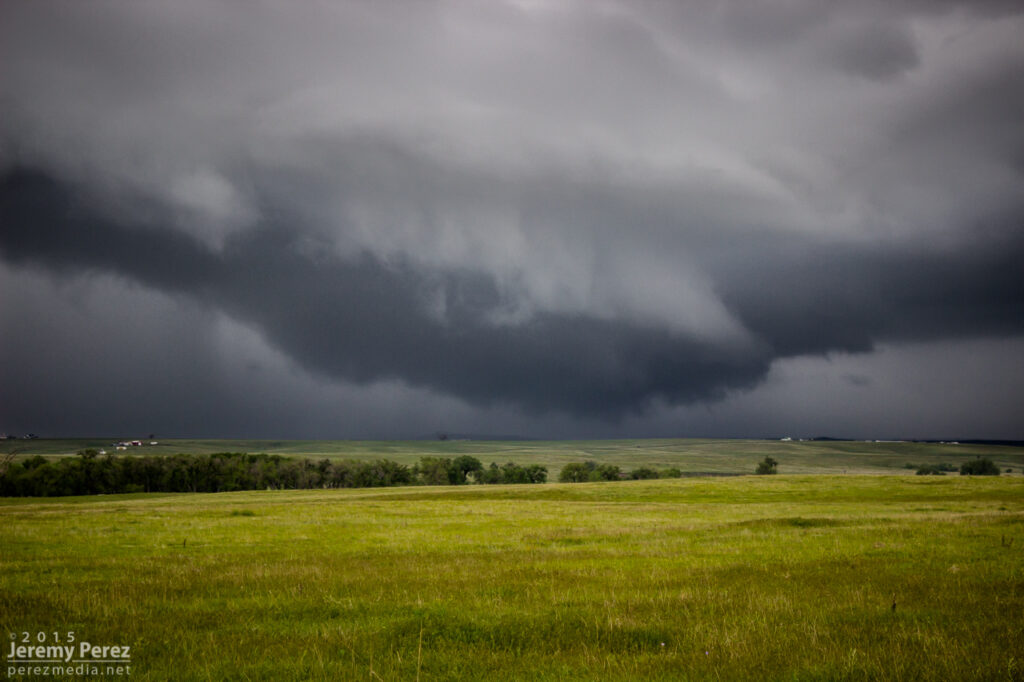
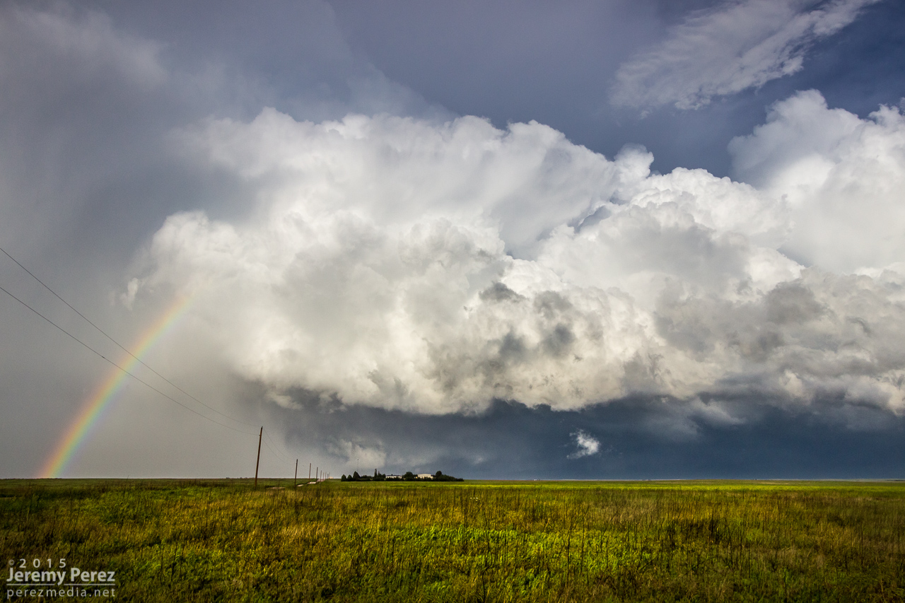
Storm moving over Shamrock — 2300Z
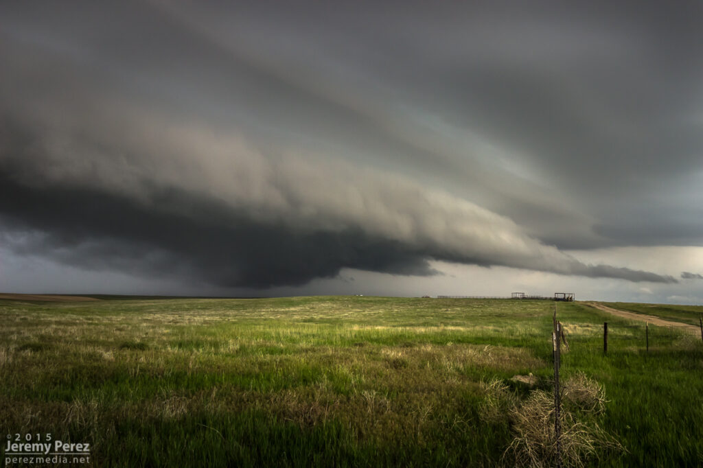
Terraced shelf cloud north of Last Chance — 2355Z
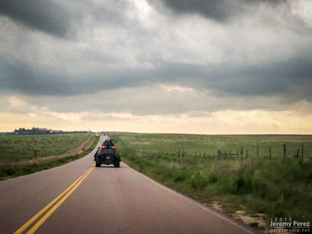
After that, I decided to head east to see if we could thread to the other side of a couple tornado-warned storms near Kirk. It was a long shot, and didn’t work out, but we eventually wound up in spectacular country along Highway 385. The lightning show north of Wray wound things down for the day.


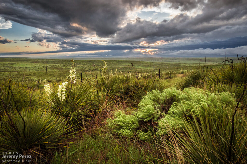
Sunset on the landscape south of Wray — 0150Z
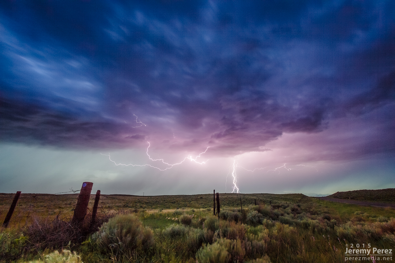
Lightning show north of Wray — 0245Z
Leave a Reply