Tag: Nebraska

  • 27 April 2025 | Cherry County, Nebraska, USA | Tornadoes

    27 April 2025 | Cherry County, Nebraska, USA | Tornadoes

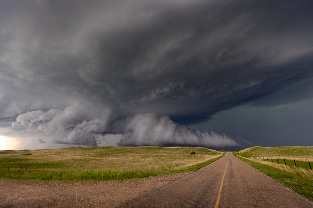
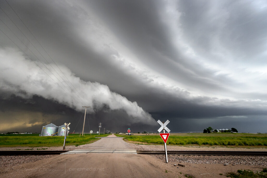
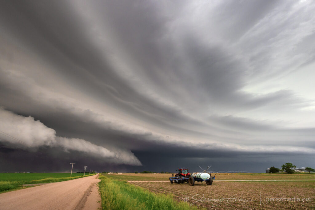
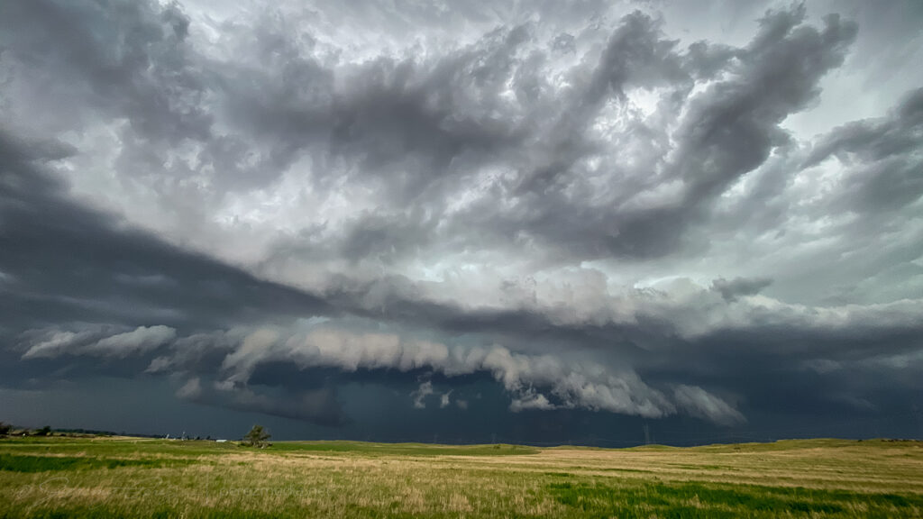
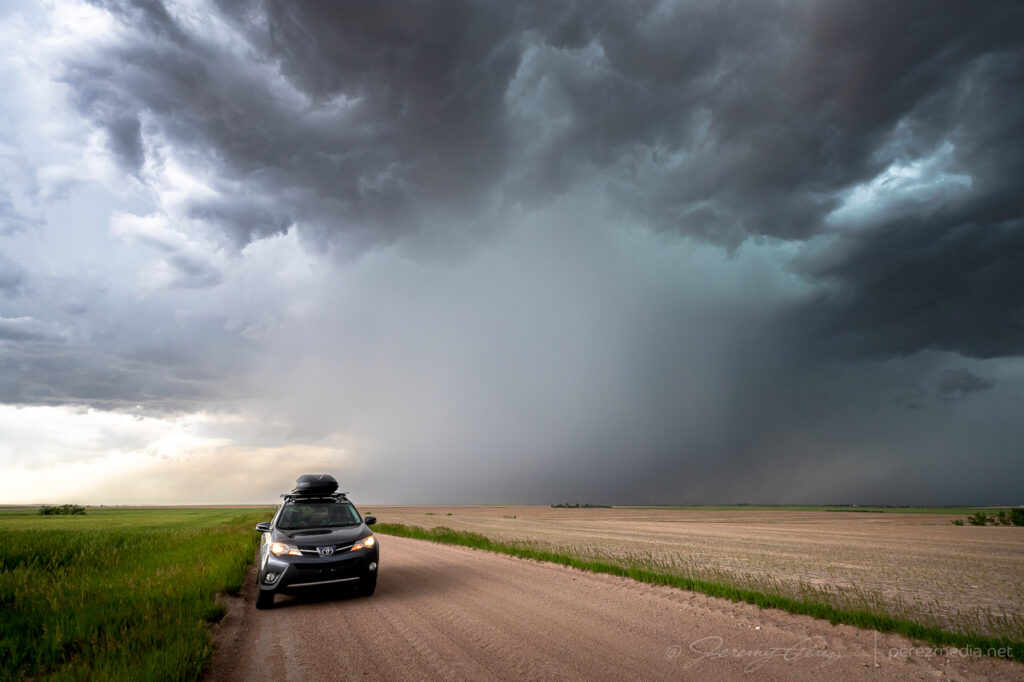
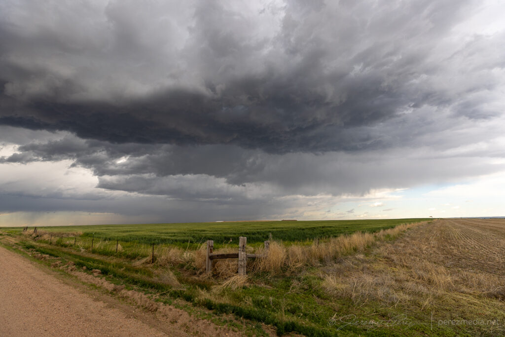
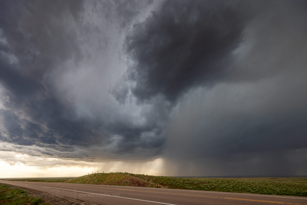
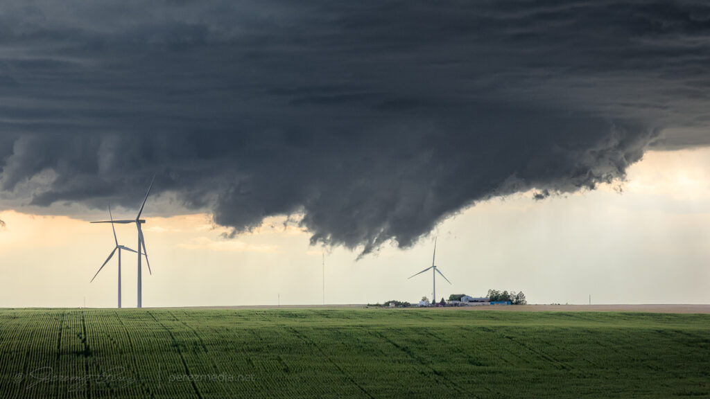
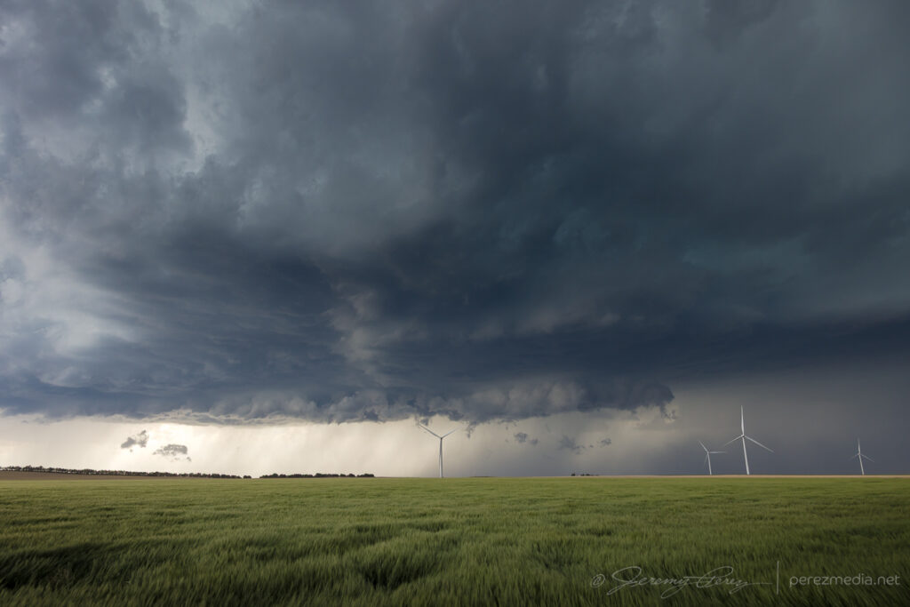
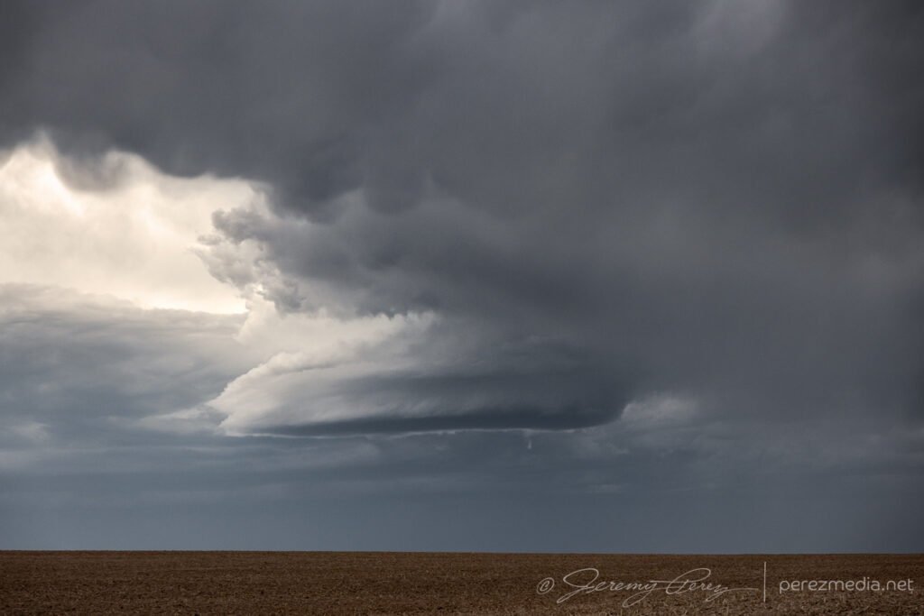
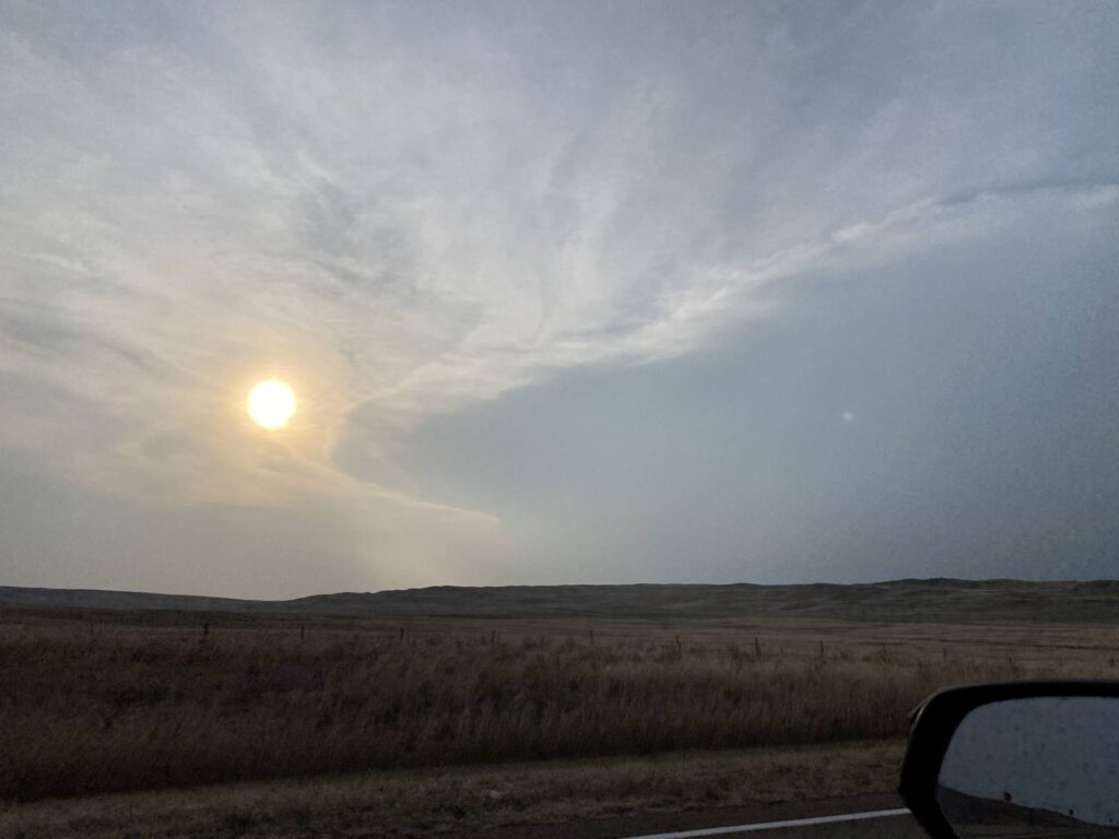
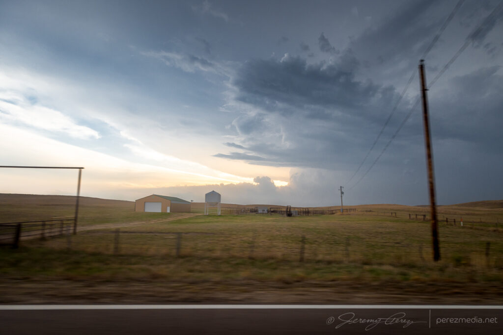
    My target this day was northwest Kansas after a long drive up the entire Texas Panhandle overnight. I was hopeful for storms to fire up there, but they just couldn’t get going. Further into the Nebraska Panhandle though, things did take off so I kept hustling north trying to get at least something since my original target didn’t fire.

    By the time I got near Mullen, Nebraska, a cell near Hyannis had exploded, was tornado warned, and was already producing an enormous wedge tornado in the Sand Hills. All I could do was keep hustling north to try and get lined up with it.

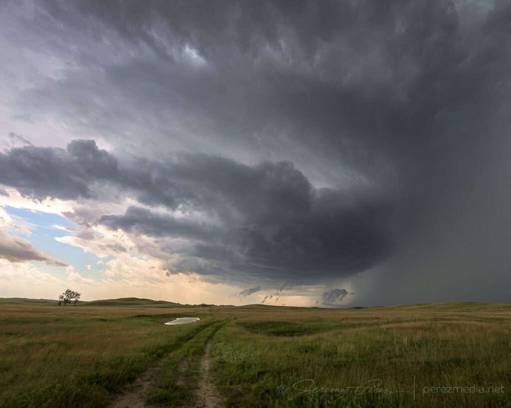
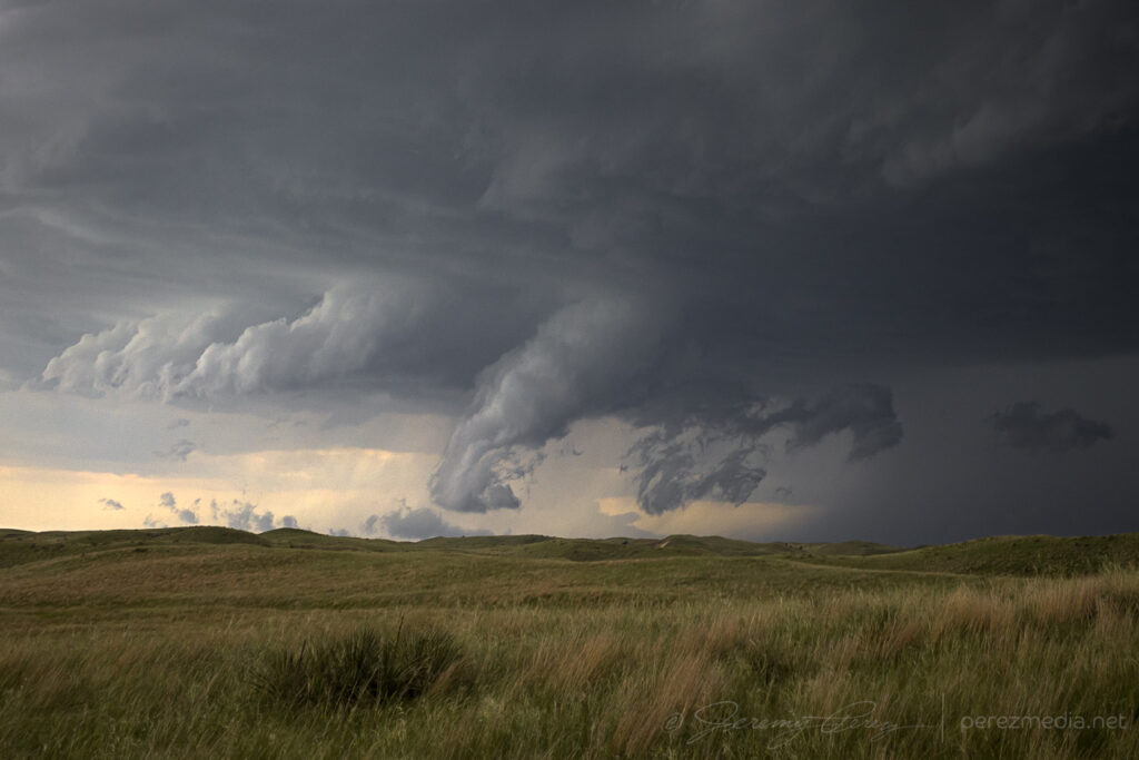
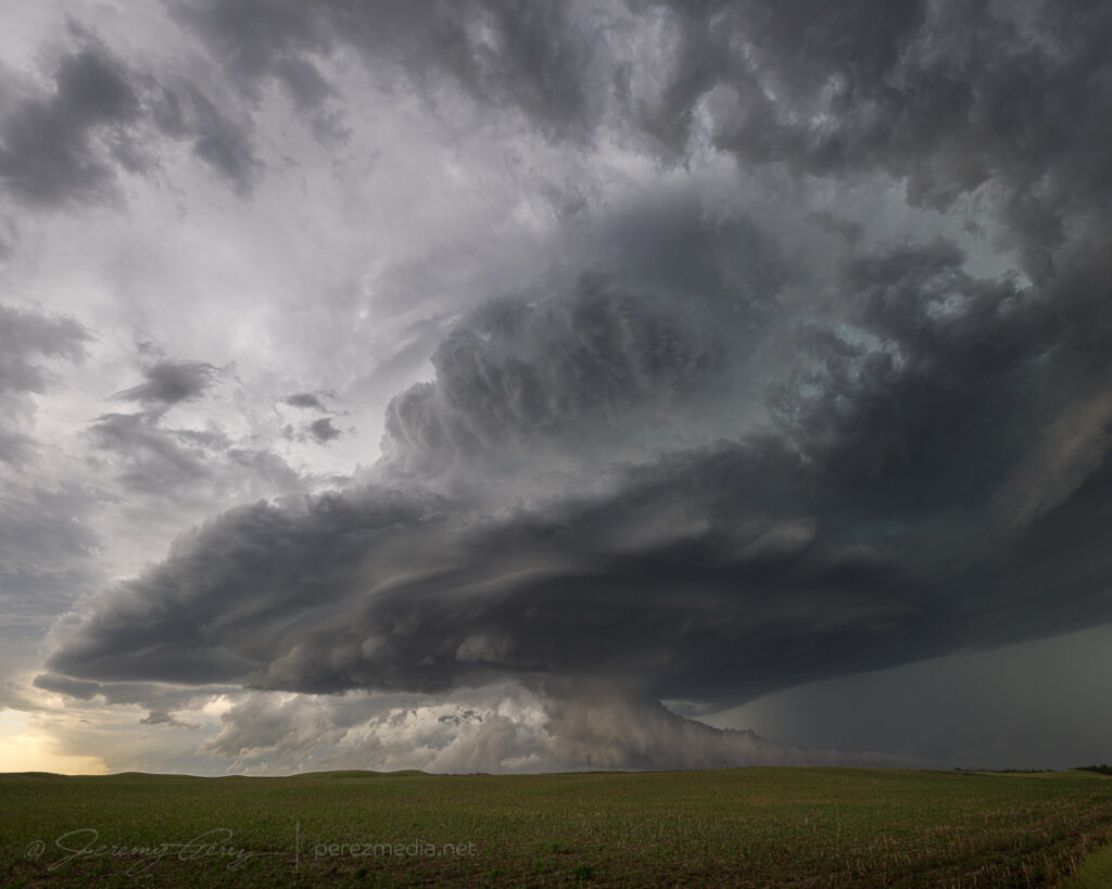
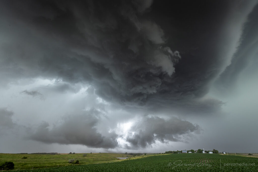
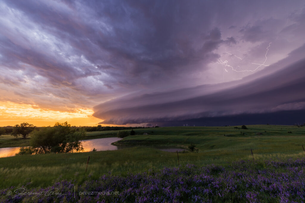
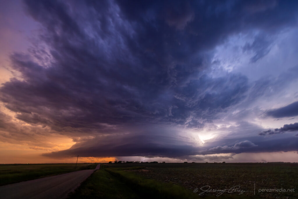
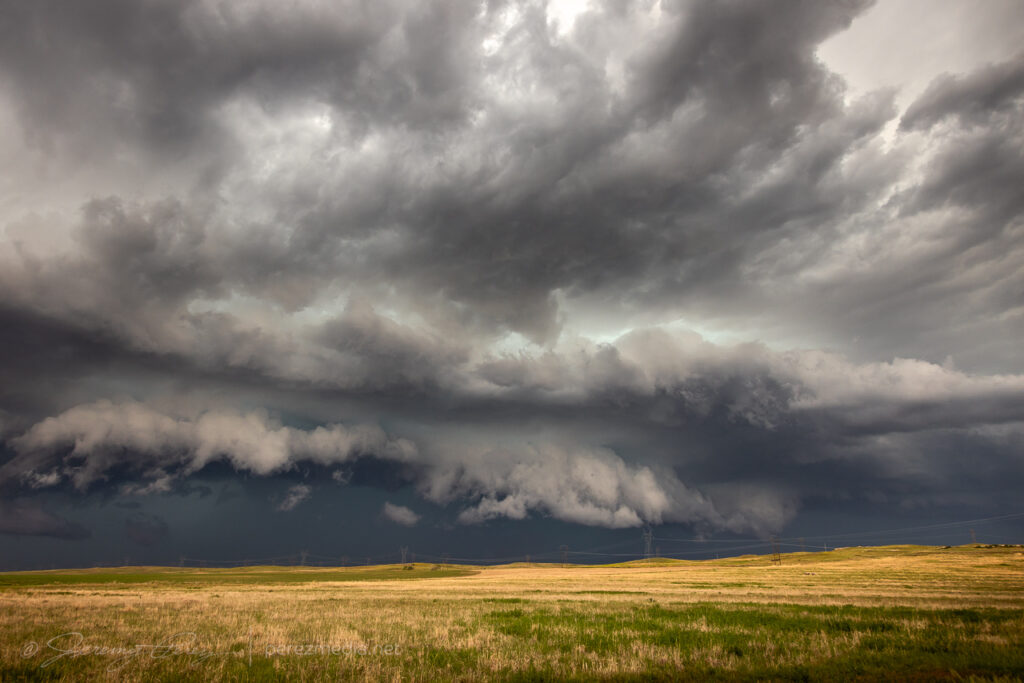
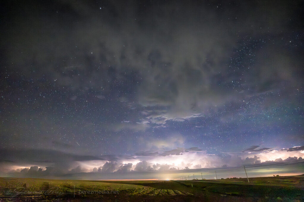
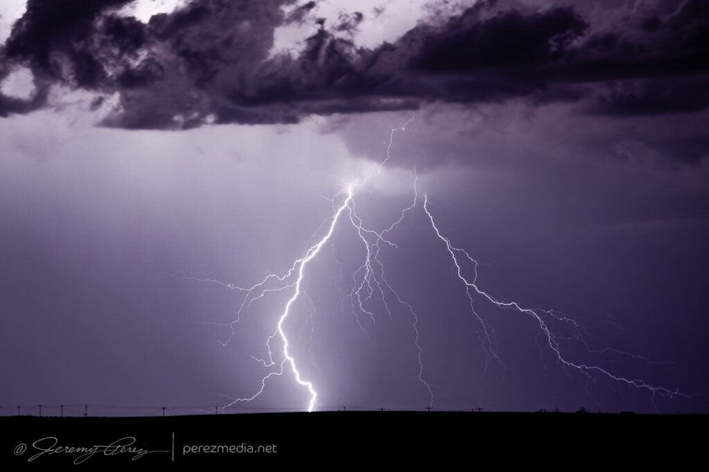
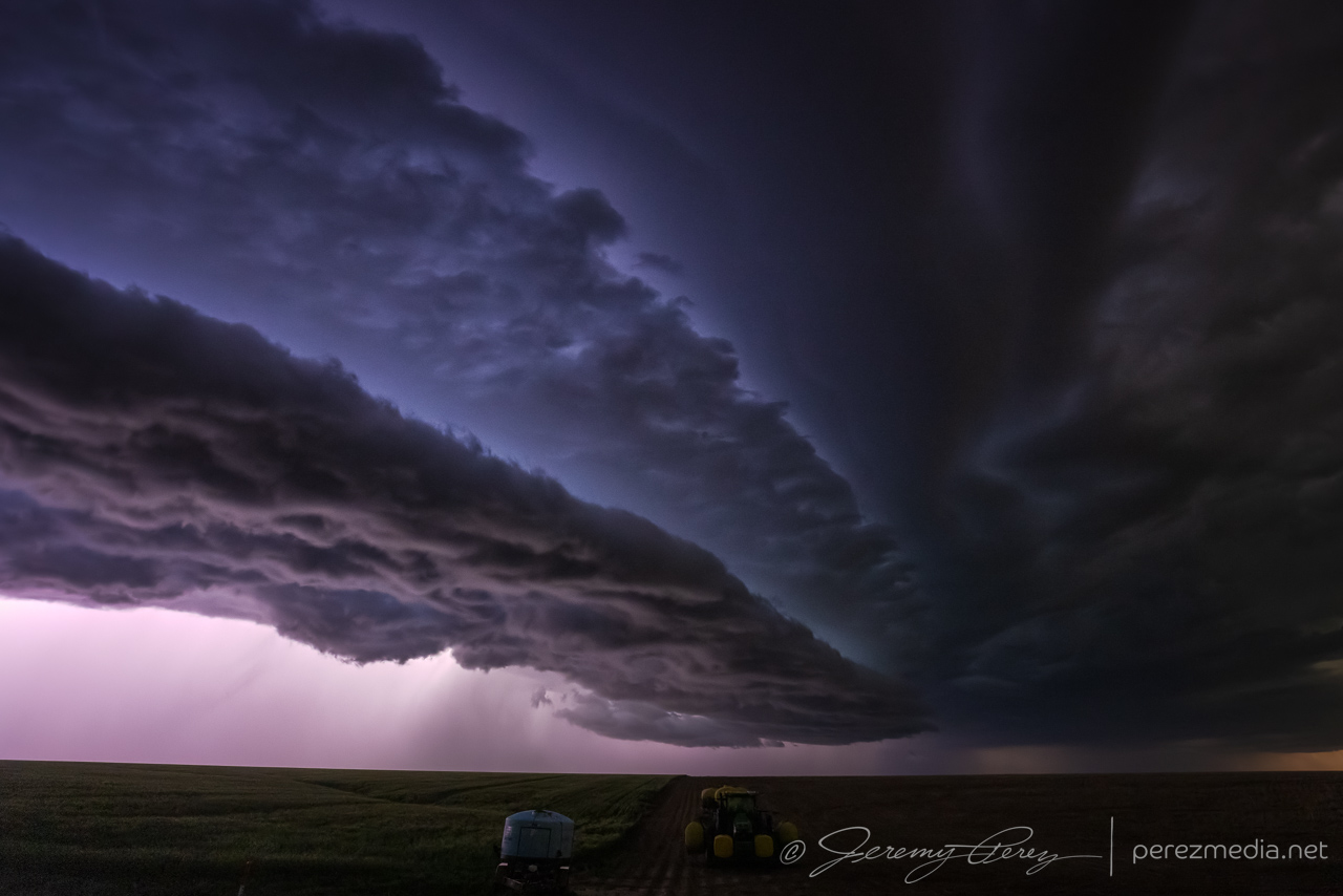
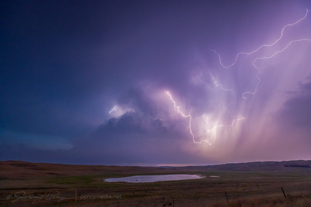
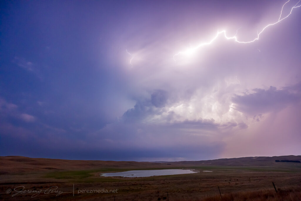
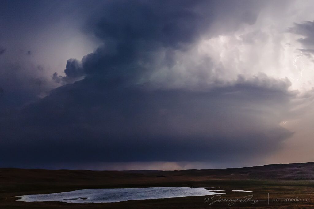
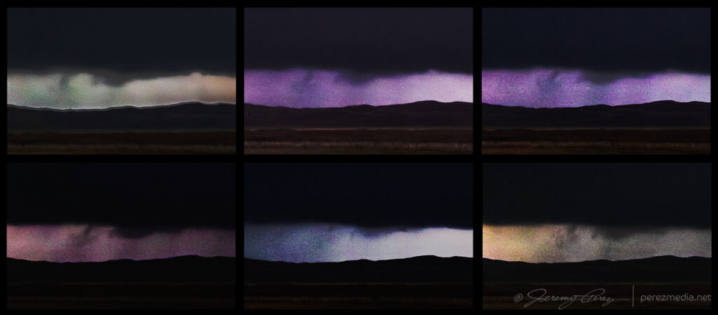
    I finally got to a spot north of Mullen with a view of the approaching storm and a little reflective pond in a hollow. The tower was alive with lightning, but rather soft with distance and haze. It made for a fun time lapse though and at one point sported a conical funnel beneath the base before I needed to reposition.

    Pointy lowering 9 minutes prior to the next tornado — 0244Z.

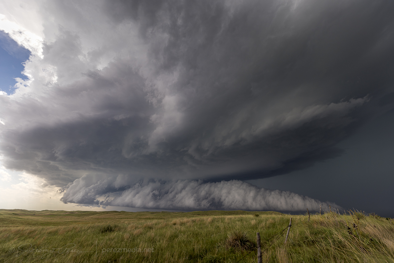
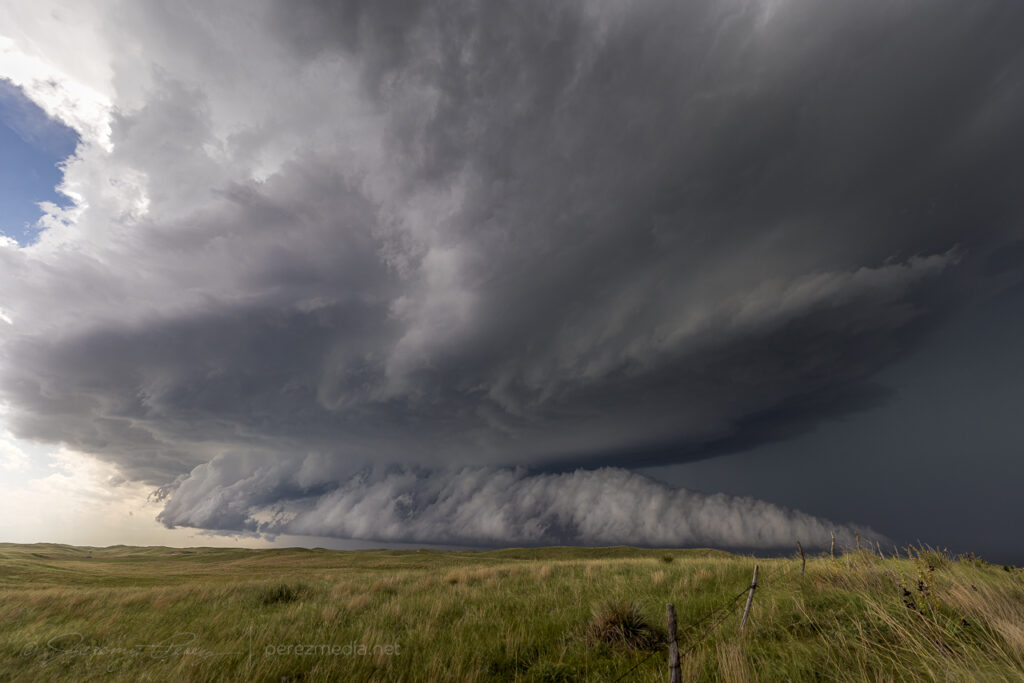
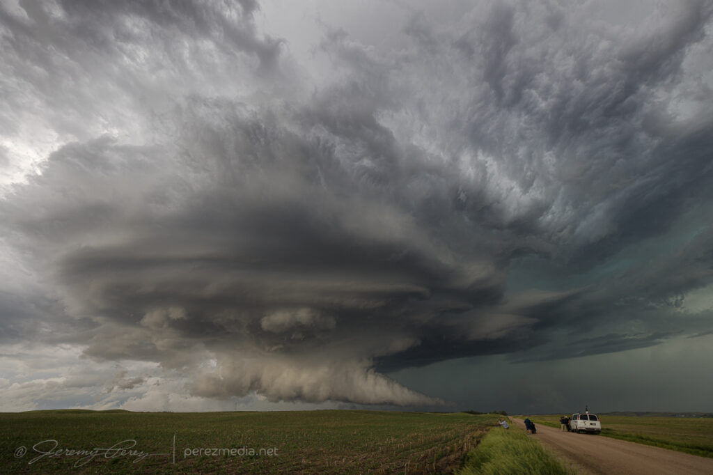
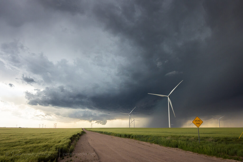
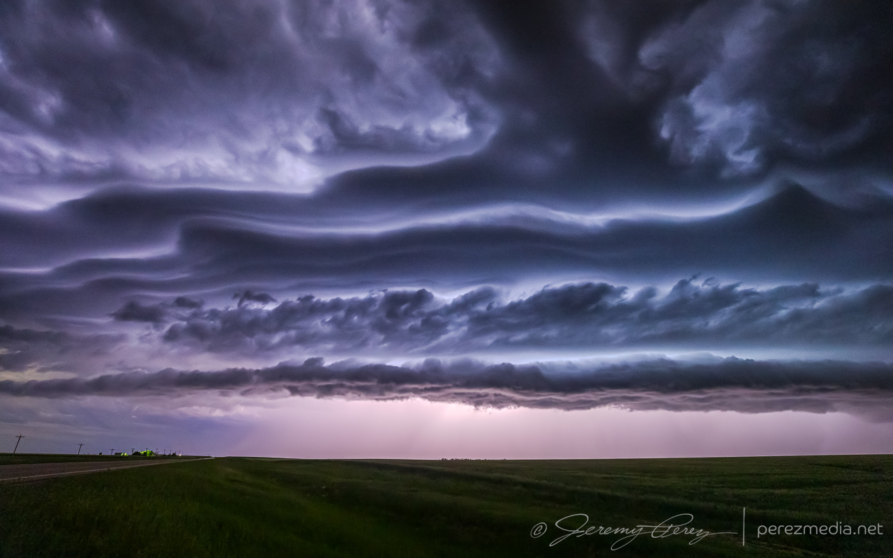
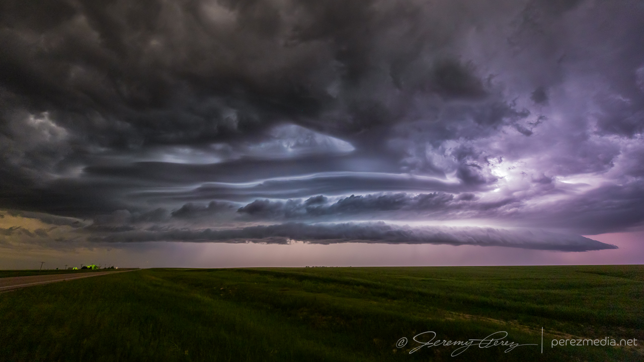
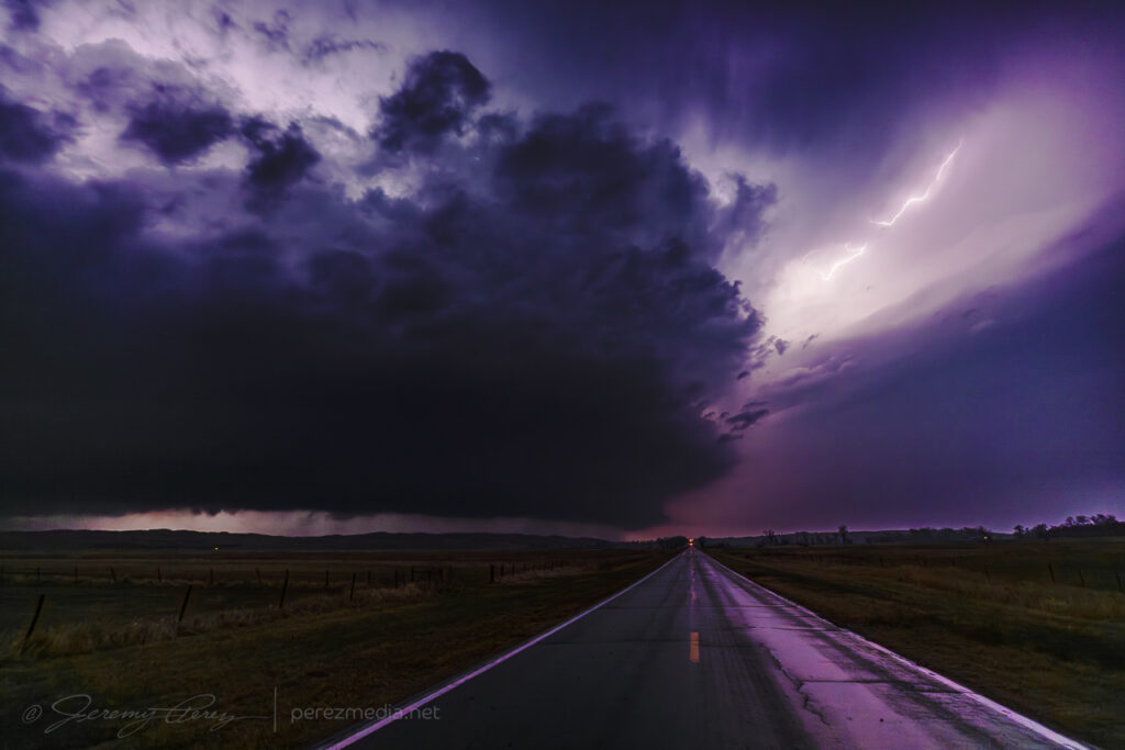
    I found a new vantage a couple miles further north that revealed a wedge profile that corresponds to an ongoing tornado surveyed by the National Weather Service.

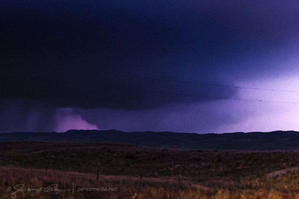
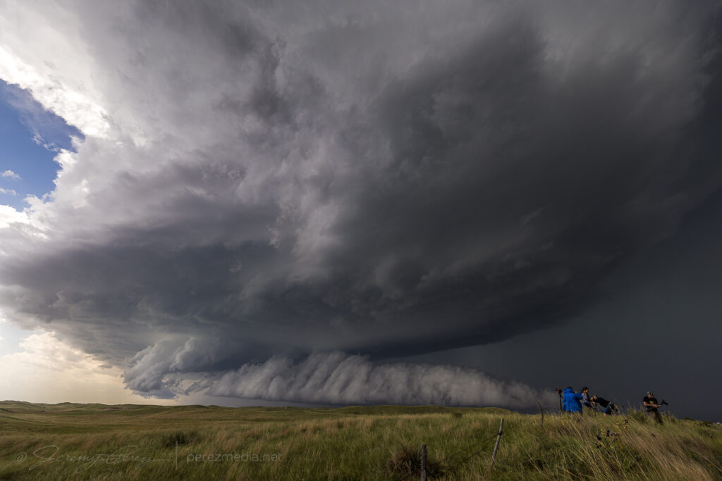
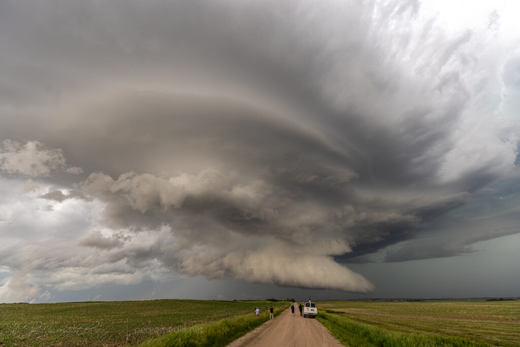
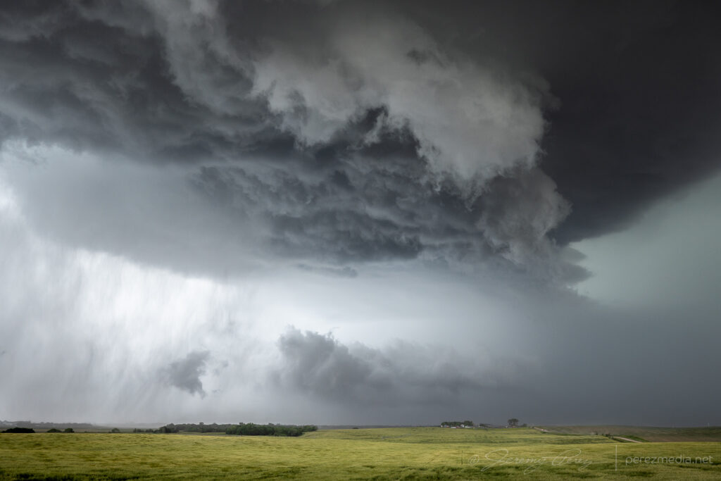
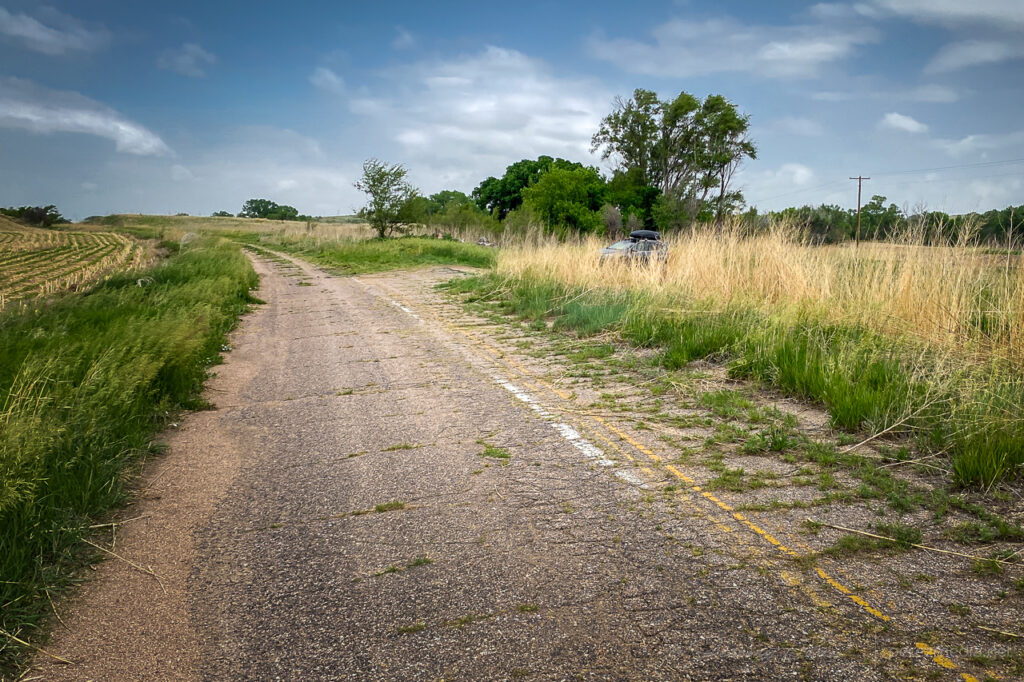
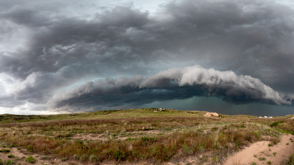
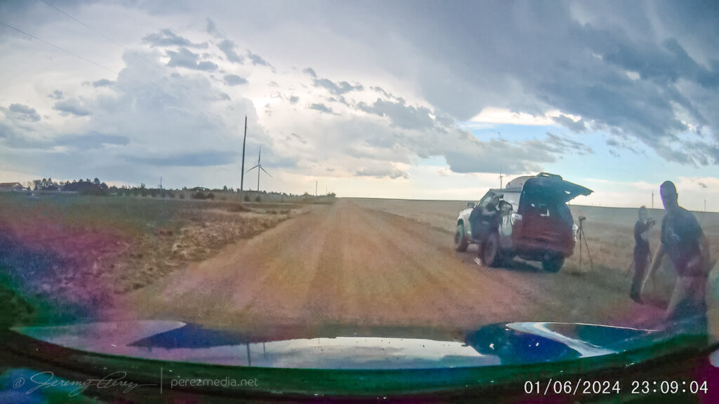
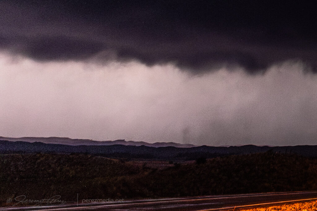
    Five miles further north, I took an unpaved side road to try to get another view. A new lowering had formed that corresponded to another tornado that was later surveyed. I tripoded one of my cameras to shoot video while I took stills with another. Inflow winds gusted and knocked the tripod over, landing the camera lens-first into the grass. A big, chunky grass stalk wedged in between the lens barrel and zoom ring. No broken glass, but zoom was now tight and compromised with embedded vegetation. That turned into an unfortunate repair bill later on.

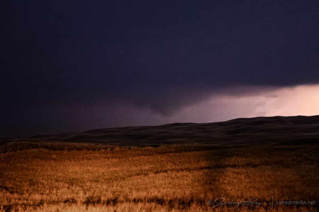
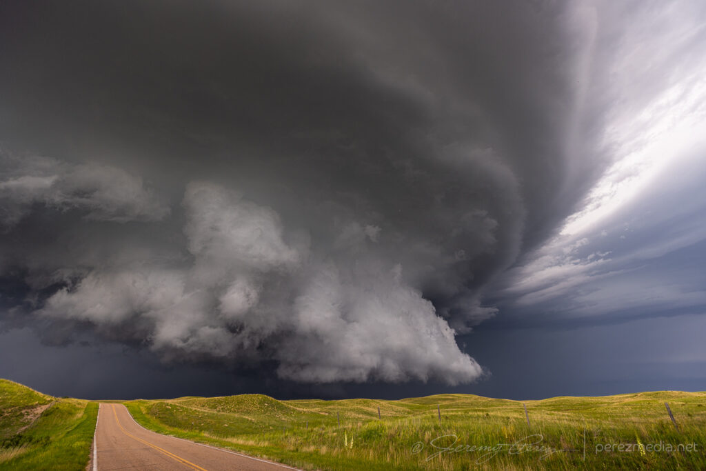
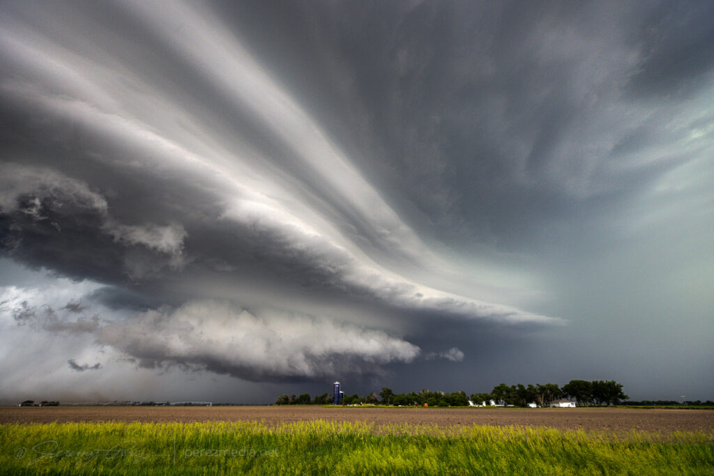
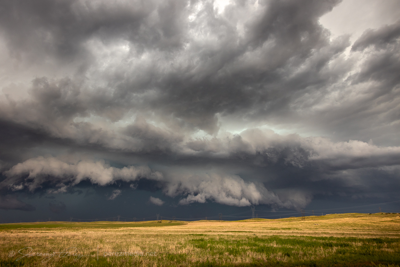
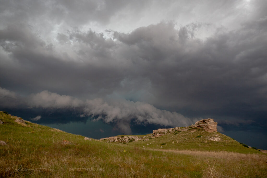
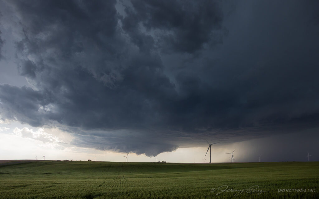
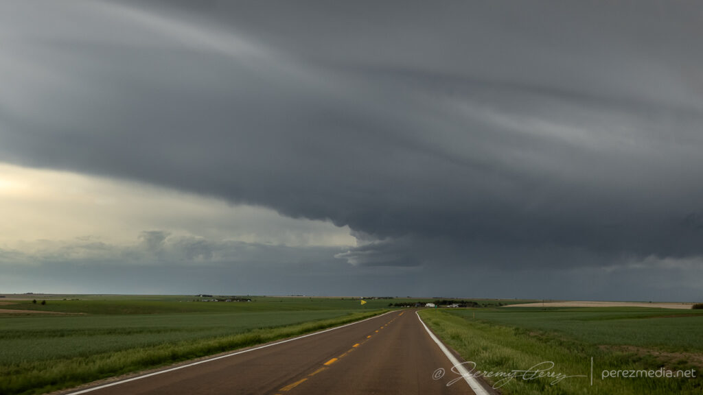
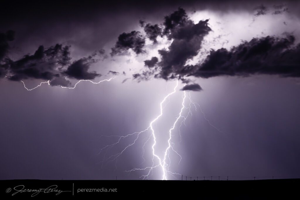
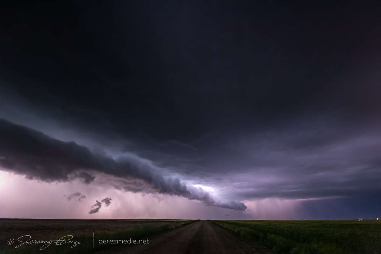
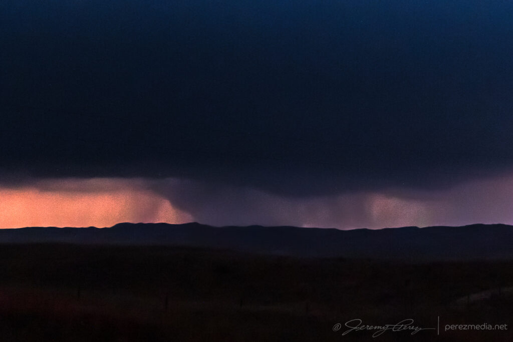
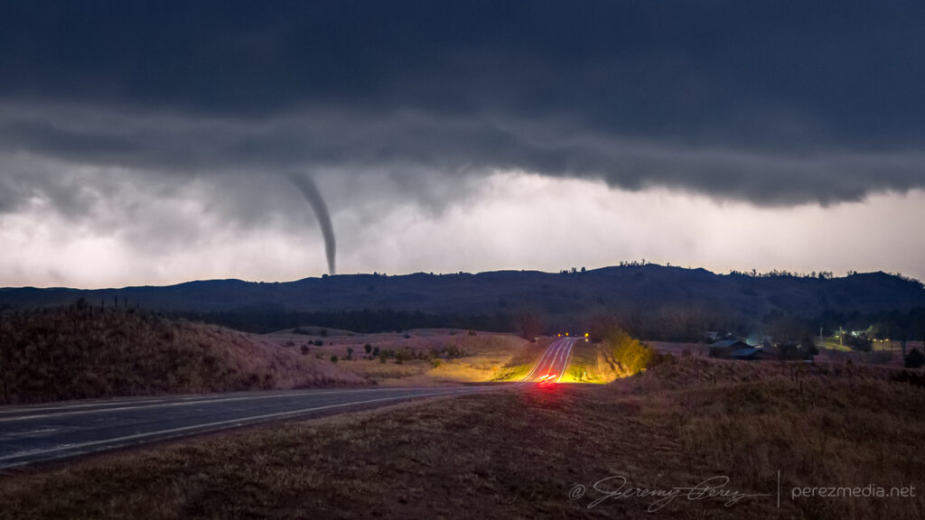
    Further north near Merry Land Park, the storm was getting ready to start crossing SR97. I stopped for a few shots, trying to capture some structure. But looking at it later, an apparent funnel and debris cloud was showing up beneath the base and corresponding to another tornado cycle that got surveyed.

    Looking north near Merry Land Park during next tornado cycle — 0340Z.
    Apparent funnel and debris cloud — 0339-0340Z.

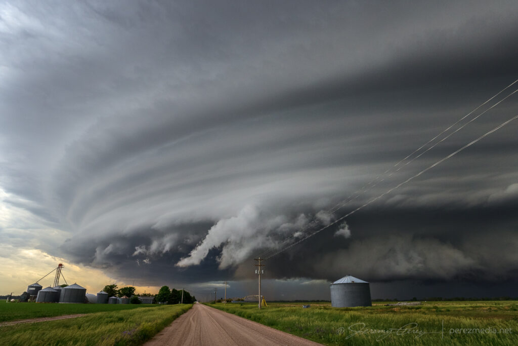
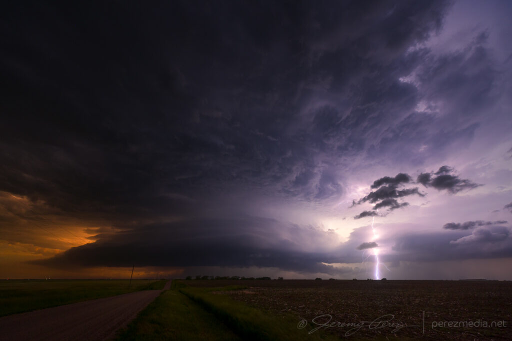
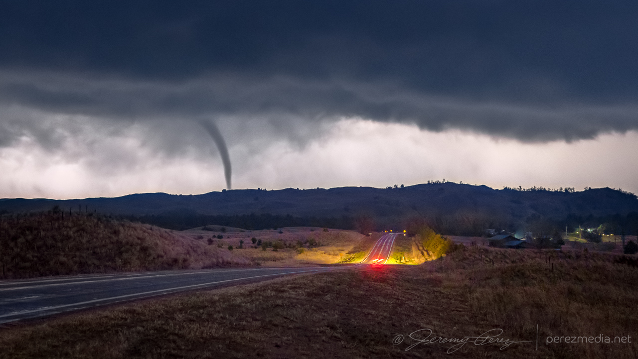
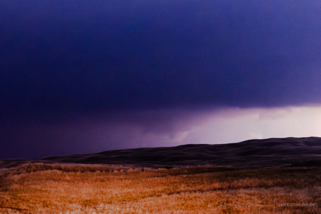
    One last push up toward Merritt Reservoir led to a look at some brief multivortex spinups beneath the base, followed by a tight, lightning-silhouetted, elephant trunk tornado descending into the hilltops just ahead. I think this was identified as a separate satellite tornado in the damage survey, although the time is off from either ongoing tornado report by about six minutes.

    Debris spinup near Merritt Reservoir — 0347Z.
    Satellite tornado looking toward Merritt Reservoir — 0351Z.
    Time lapse and video of the nocturnal supercell and tornado.
    NWS Damage Assessment toolkit map with associated photos.

    I followed the storm for a bit longer, just across the South Dakota border near Sicangu Village, before letting it go. I missed the main, daylight wedge on this one by a wide margin, but was very happy with how the nocturnal show turned out.

  • 7 June 2024 | Nebraska | Supercells

    7 June 2024 | Nebraska | Supercells

    Ooh, the storms that blew up this day were the highlight of the chase trip. I started the day in Woodward, Oklahoma, after a much needed hotel night. The day was setting up to deliver 2000-2500 j/kg of CAPE under 50 kts of bulk shear with a surface low and eastward stationary front over west central Nebraska.

    The long haul through Kansas and halfway through Nebraska meant I was running late, as often happens. The first great storm of the day was looming ahead, over Thedford, and I was wondering if I’d be able to position on it before anything especially interesting happened and not get cut off from decent road options.

    Big old anvil behind that altostratus.
    Big old anvil behind that altostratus.

    I managed to get up to Arnold Road before the storm overran it and had a blast hopping from spot to spot as it consolidated some beautiful and ominous structure.

    First time lapse spot south of Dunning — 2052Z.

    At my first stop, a rancher showed up, trundling out of the hills on his ATV. I wasn’t sure if he’d be irritated I was parked on the side of his field access, but he was just trying to get out of the way of impending atmospheric doom and entrusted me with re-closing the gate as he hustled down the road.

    Rancher escaping the path of the storm — 2038Z.
    Outflow fangs starting to pick up beneath the base — 2100Z.
    Awesome tail cloud structure — 2107Z.

    As the storm approached Merna, It lost touch with the surface and got absorbed into the forward flank of a new storm north of Arnold. I jogged back west to set sights on that one. As I got eyes on it, it was apparently brandishing a tornado back in the rain from 2219-2223Z. Contrast enhancing my photos doesn’t pick up anything definitive apart from mystery scuds & shadows.

    Next cell south of Arnold with a hidden tornado somewhere in the shadows — 2223Z.

    In retrospect, after this, I should’ve hopped back over to Merna and set up along Route 2/92. The notch moved in right along that highway and pac-manned it for a good 40 miles. I still got spectacular structure and landscapes though, just with the core obscured by RFD from my southerly vantage.

    By this point, it was decidedly outflow dominant and growing more linear by the minute. But it still wielded an amazing Sand Hills menace that was impressive to experience.

    After dipping in for a close look north of Kearney, I had trouble getting back south as strong winds and unplanted fields lofted huge amounts of dust and made driving away a major effort.

    By the time I got south and east of Kearney, it was a stacked structure festival all the way to Red Cloud.

    Roadside wildflowers were a good match for the shelf as it moved in north of Red Cloud — 0205Z.
  • 2 June 2024 | Colorado/Nebraska/Kansas | Gust Fronts

    2 June 2024 | Colorado/Nebraska/Kansas | Gust Fronts

    I started the day after boondocking near Hamlet, Nebraska. It was a pretty good spot along a decommissioned piece of old highway with high grass providing some cover.

    I made my way west into Colorado with thoughts of convection along an early morning outflow boundary.

    Wildflowers near Julesburg, Colorado on the way to firing storms — 2033Z.

    Shear seemed better further north where storms were forming in the Nebraska Panhandle. So I hustled up to the strongest one near Sidney. It picked up a tornado warning before I got there. By the time I was on it, it was gusting out.

    And that was the story from there. Gusty, linear storm modes as everything in Colorado and Nebraska merged into a line of storms that led me on a tour southward through western Kansas into the night.

    Debris clouds masking the sky between Syracuse and Johnson City as the line of storms lights up western Kansas — 0510Z.
  • 1 June 2024 | NE Colorado-SW Nebraska | Supercell Structure

    1 June 2024 | NE Colorado-SW Nebraska | Supercell Structure

    This was day 1 of a June storm chase trip for 2024. The target was far northeast Colorado to see if dryline storms would interact with an outflow boundary beneath 30-45 kts of shear.

    Livestock on some sort of MS Windows landscape south of Last Chance, CO — 1848Z

    As storms fired along the dryline, a smattering of them fired up just south of the Nebraska border. As slowly as things were moving, it was easy to just hang out and see what would eventually take over.

    Eventually a cell to my west started to root near Sterling while its anvil provided a window to new storms blossoming further south near Otis.

    Storm now starting to get organized south of Gailen, CO — 2303Z
    An unexpected Mike Olbinski sighting as he sasquatches into view to have a few words:)

    By 2300Z, my western cell was getting rooted and looking more interesting with a curved feeder band. It eventually produced a beautiful lowering over hills and farmsteads on the horizon.

    An excellent lowering over a farmstead southeast of Sterling — 2314Z

    After that, it flattened out for a few minutes, then one more burst of activity in the base before it got choked off and put on a final, elevated structure display.

    Dry stable air getting entrained for a few minutes of spectacular structure — 2347Z
    2348Z
    2357Z
    0027Z
    parting sunset shot just across the Nebraska Border west of Benkelman — 0209Z
  • 29 May 2023 | Stratton, Nebraska to St. Francis, Kansas | Shelf Cloud Lightning

    29 May 2023 | Stratton, Nebraska to St. Francis, Kansas | Shelf Cloud Lightning

    Another day with meager upper level support. We headed north through Kansas and into southwest Nebraska. It was a long drive and were barely in time to catch a bit of structure on a storm north of Stratton before it was ingested into a southeast-bound cluster of storms.

    The better show waited until after dark. Drifting a bit west, south of Benkelman, Nebraska, gave us a nocturnal view of cg strikes in the mess of surrounding storms.

    After that, a line of storms seemed to be getting organized in Colorado and we headed down to meet it near St. Francis, Kansas. The advancing line moved in with a beautiful, striated shelf lit by constant, colorful lightning. As it moved in over town, I looked for a spot that had given me some fun shots a few years ago. The grain elevator and surrounding buildings had more glaring lights surrounding them than I remembered. And after a few more shots east of town, we called it off for the night.

    Terraced shelf moving in from 6 miles west of St. Francis, Kansas. 0405Z
    Advancing closer. 0411Z
    Stretching off to the north as it moves overhead. 0415Z
    Grain silo and elevator on the east side of St. Francis, Kansas. 0435Z
    Last look at the gust front from east of McDonald, Kansas. 0520Z