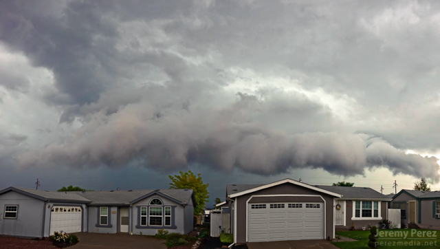
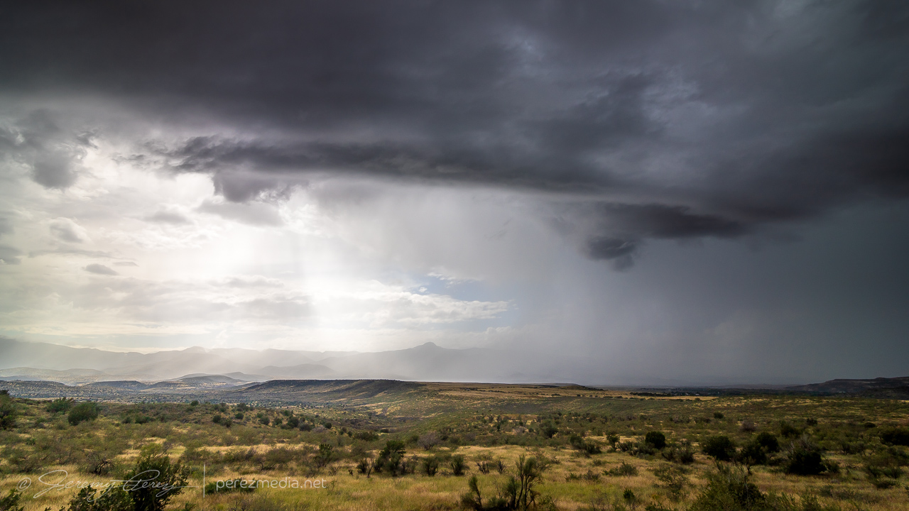
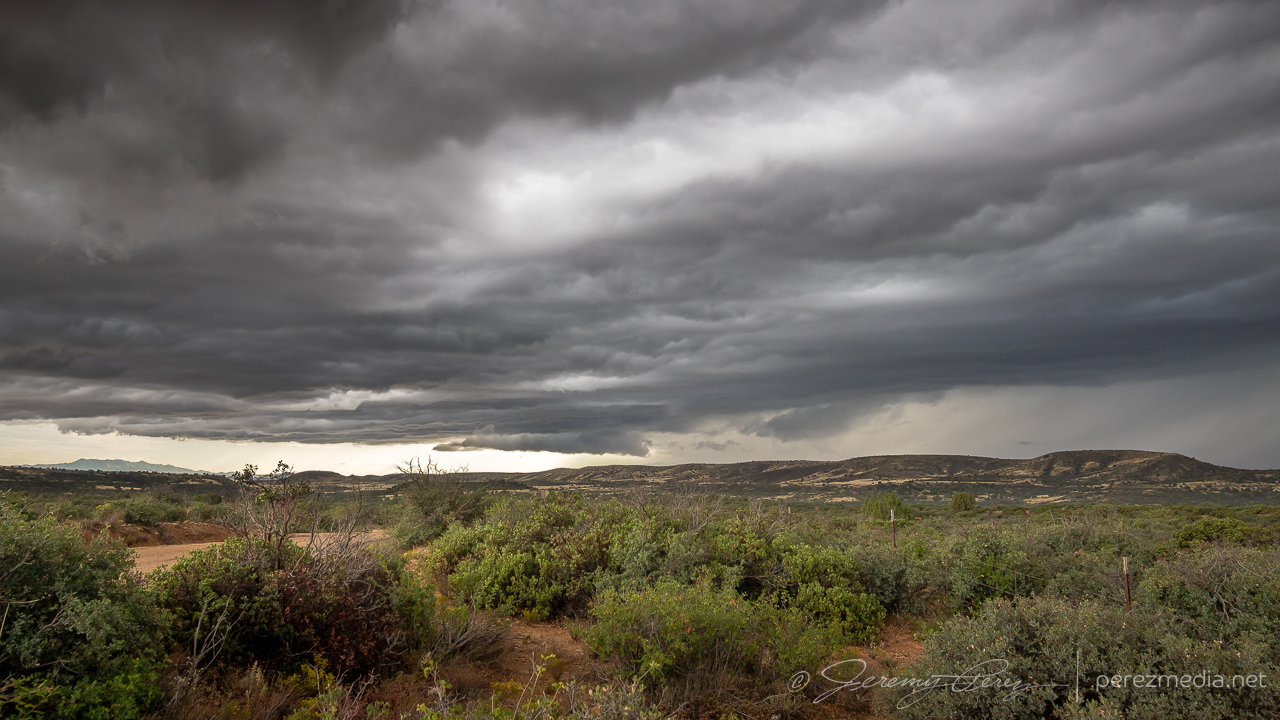
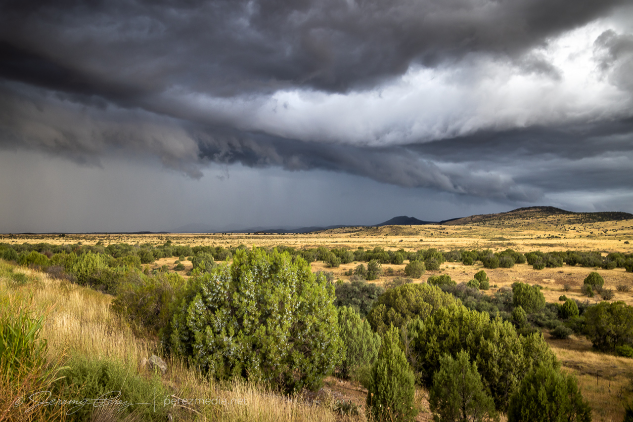
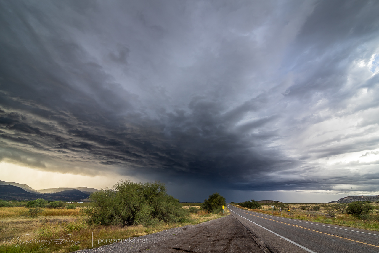
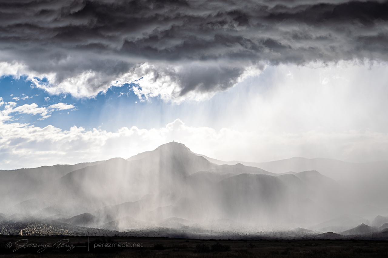
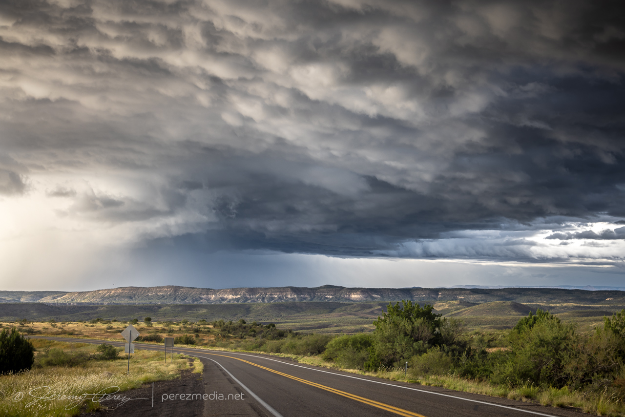
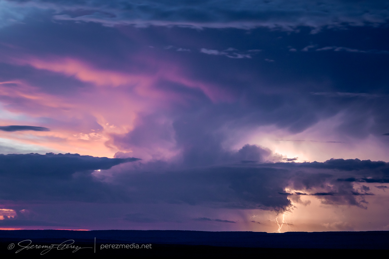
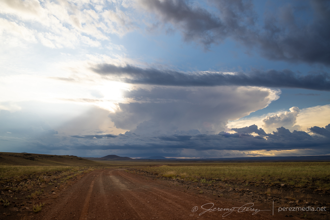
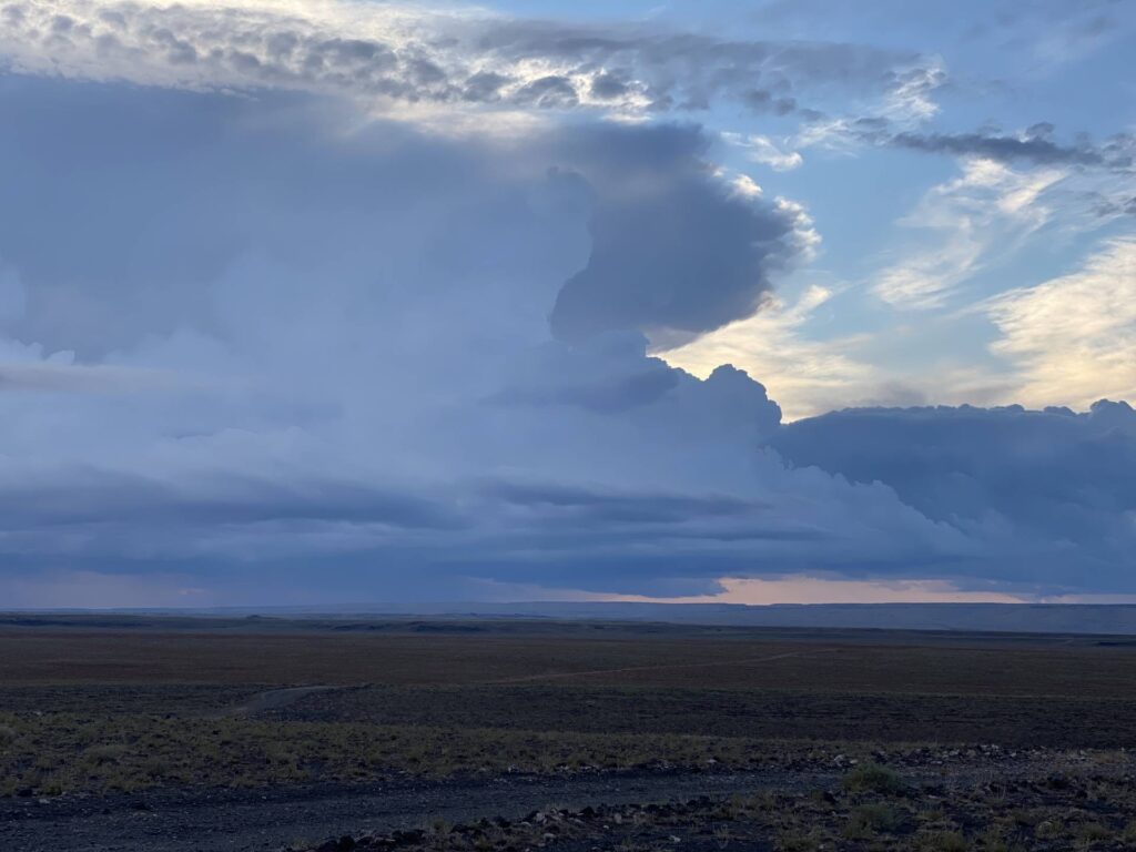
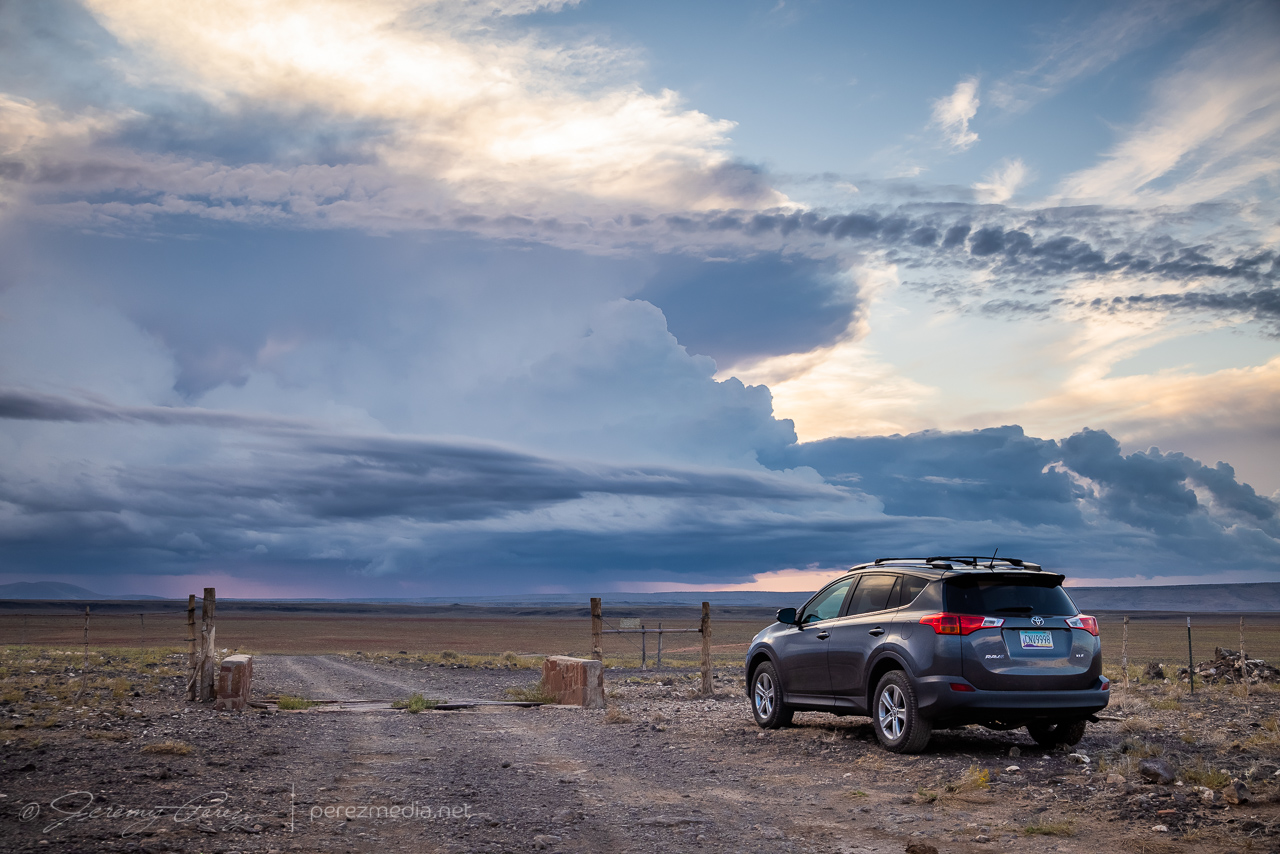
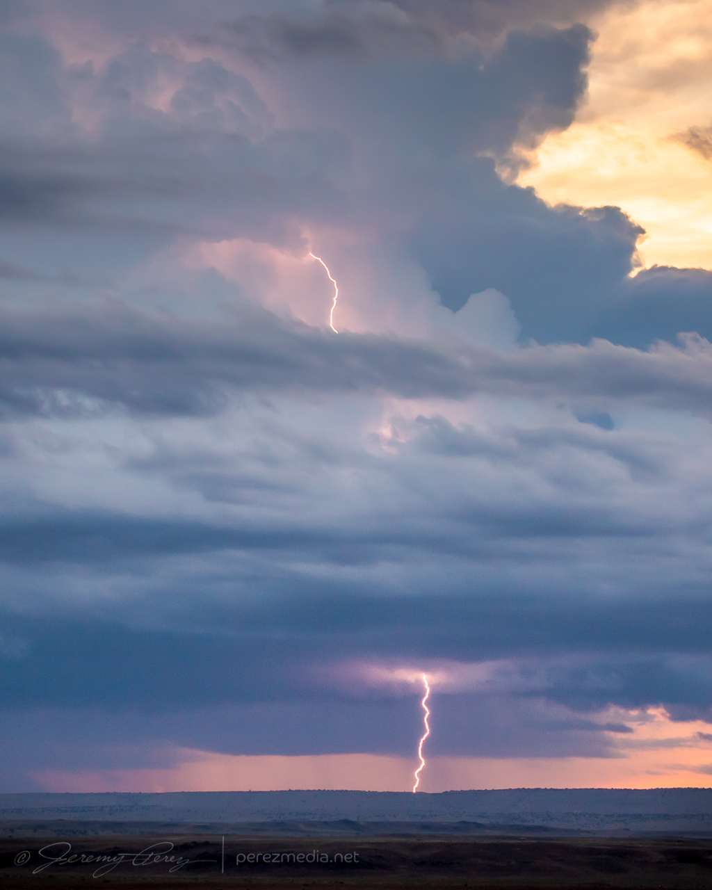

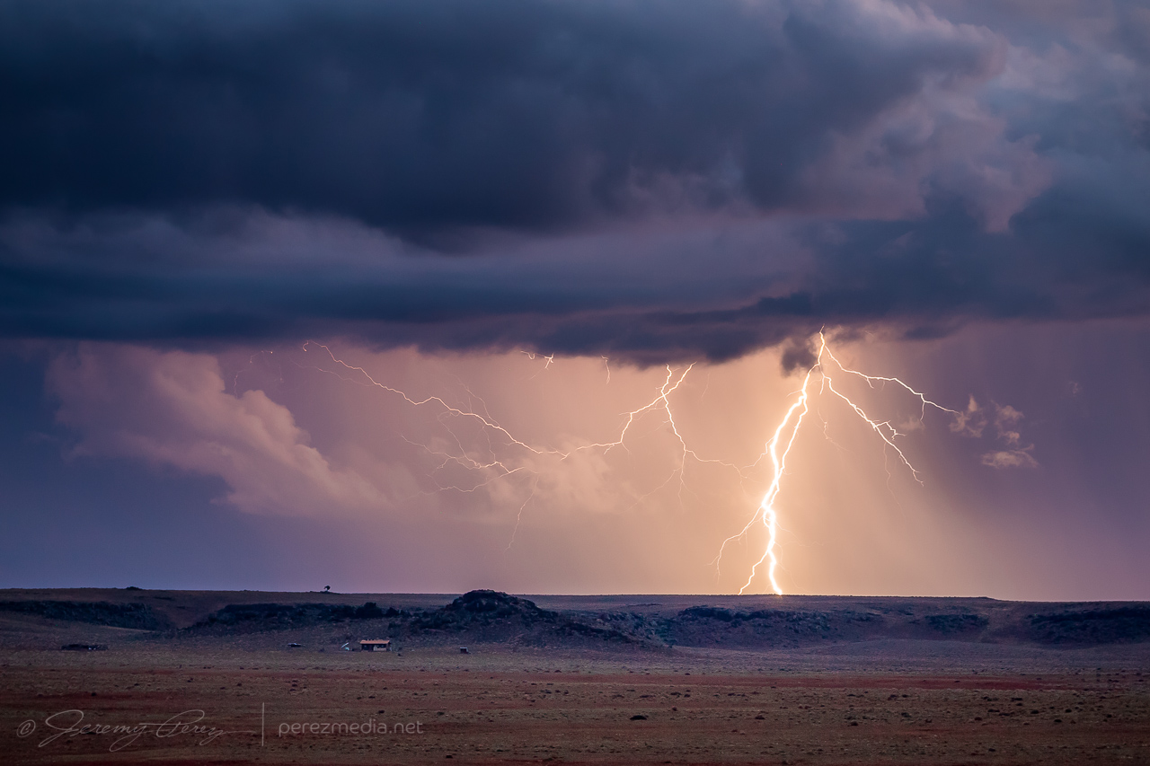
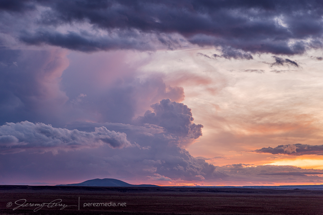

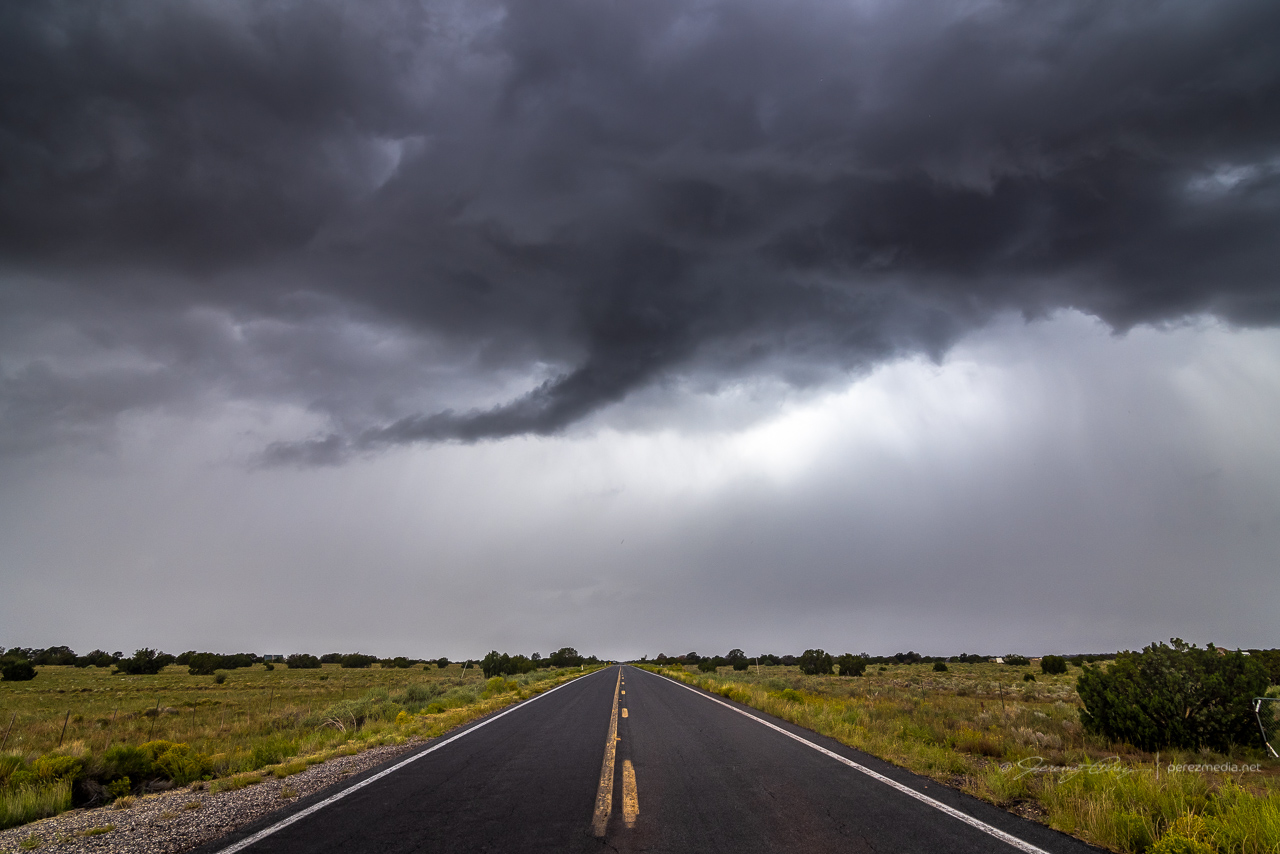
A trough was forecast to nudge through northern Arizona and draw up enough moisture for a chance at a few marginally organized storms. I made my way northwest of Flagstaff on Highway 180 toward Valle to see if anything interesting would drift by. Stronger storms were ongoing further to the west, but a few were starting to fire nearby as I reached Valle. Transient velocity couplets were showing up on radar with these, but there was nothing particularly interesting about them visually…except for a bold, false funnel peeling away from some outflow.
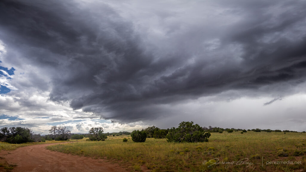
Outflow from the passing cells led to an emaciated arcus that was punctuated against a blob of convection as it surged by.
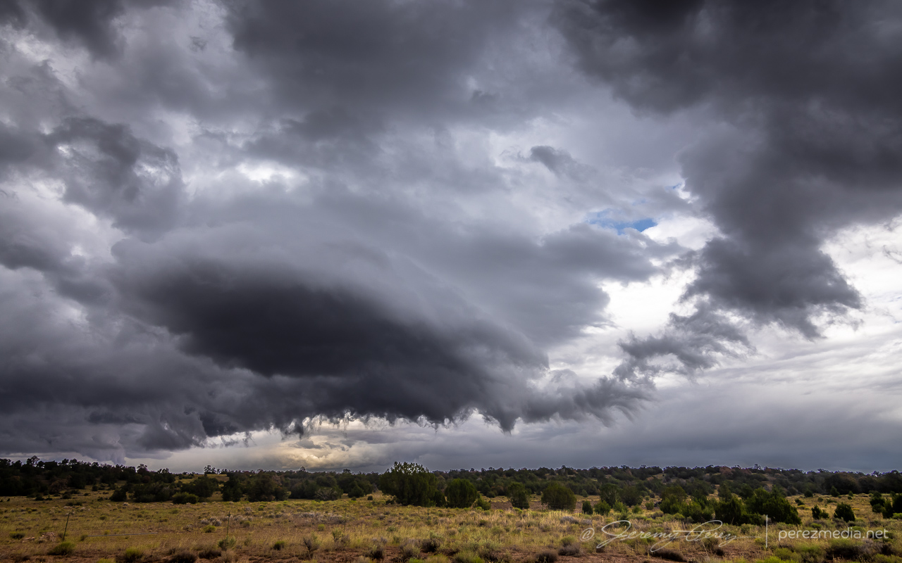
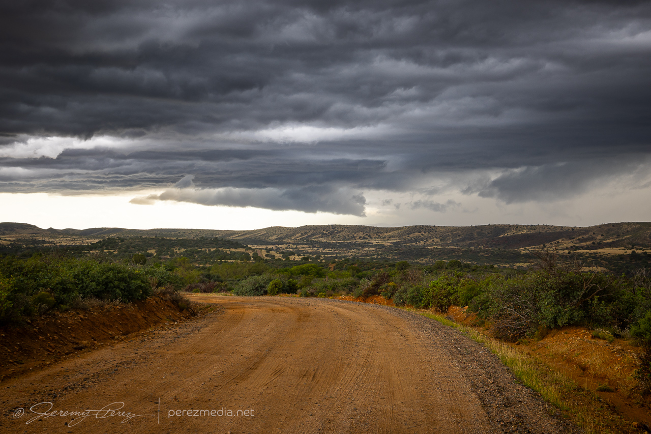
I was taking my time with it all, just waiting to see what showed up. Further south of Interstate 40, a short line of storms was lofting northward. It was weakening, but seemed like it still might shove a shelf cloud my way. So I headed back south to see if I could get a look at it from one of the prairies in that direction.
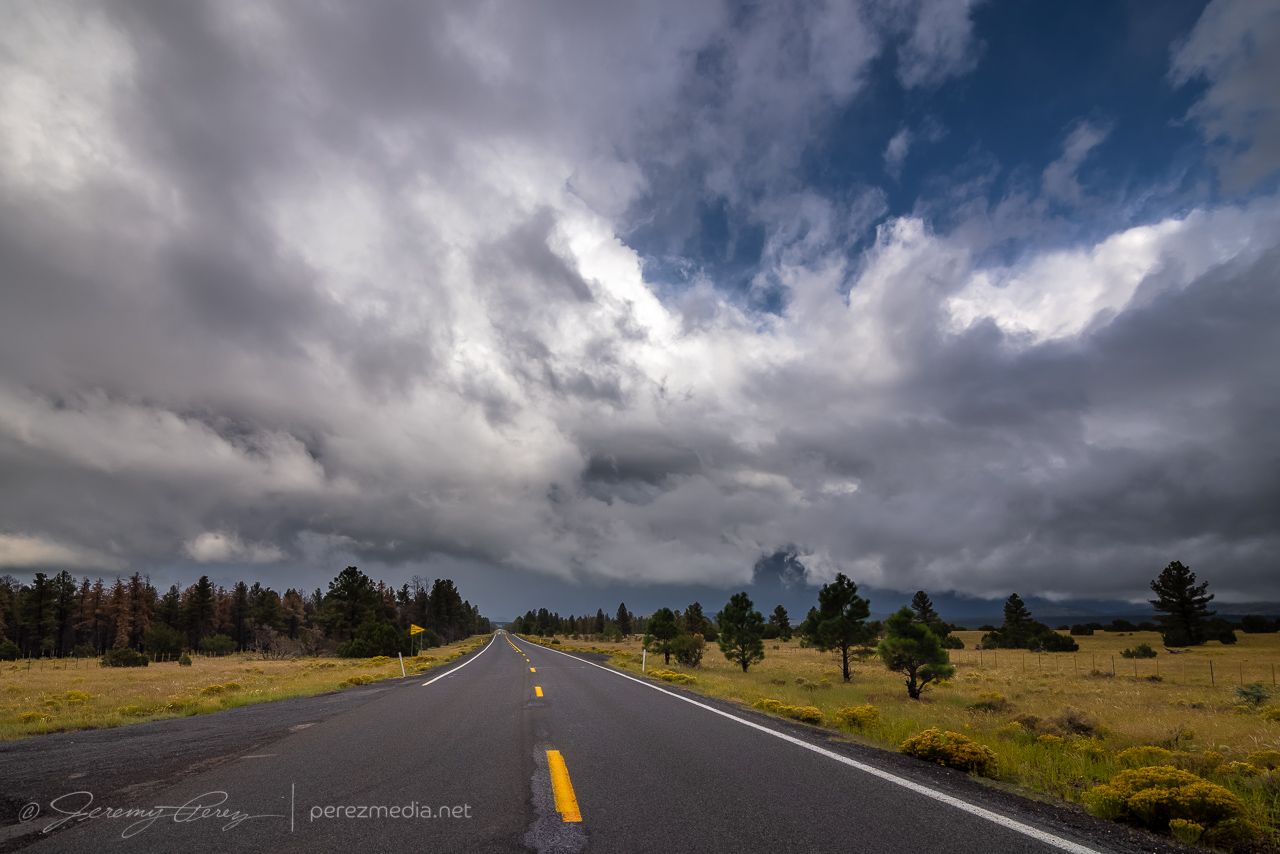
I found a good spot just north of Kendrick Park and watched the shelf drift in over the forest, wildflowers and a nameless cinder cone.
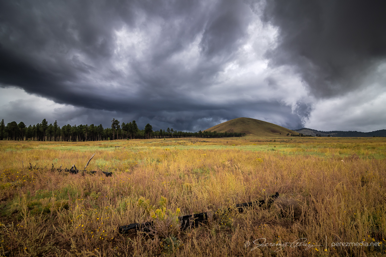
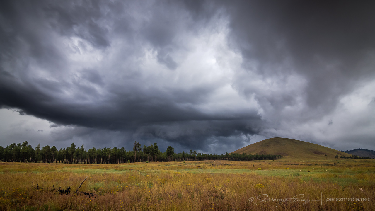
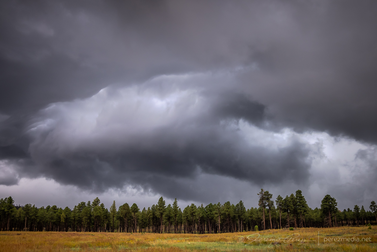
As it passed, I sat tight, let the rain soak in, and pondered whether any other decent views might be had. This seemed to be the end of the show as far as anything structural was concerned. So I headed back to Flagstaff.
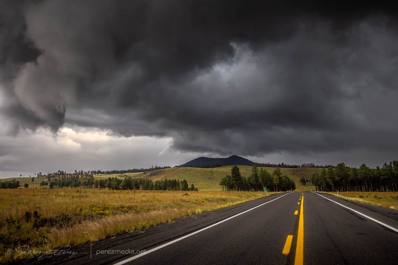
As I reached the outskirts of Flagstaff, I could see a bit of a cap on top of the San Francisco Peaks, so I stopped to grab some shots of that for a few minutes.
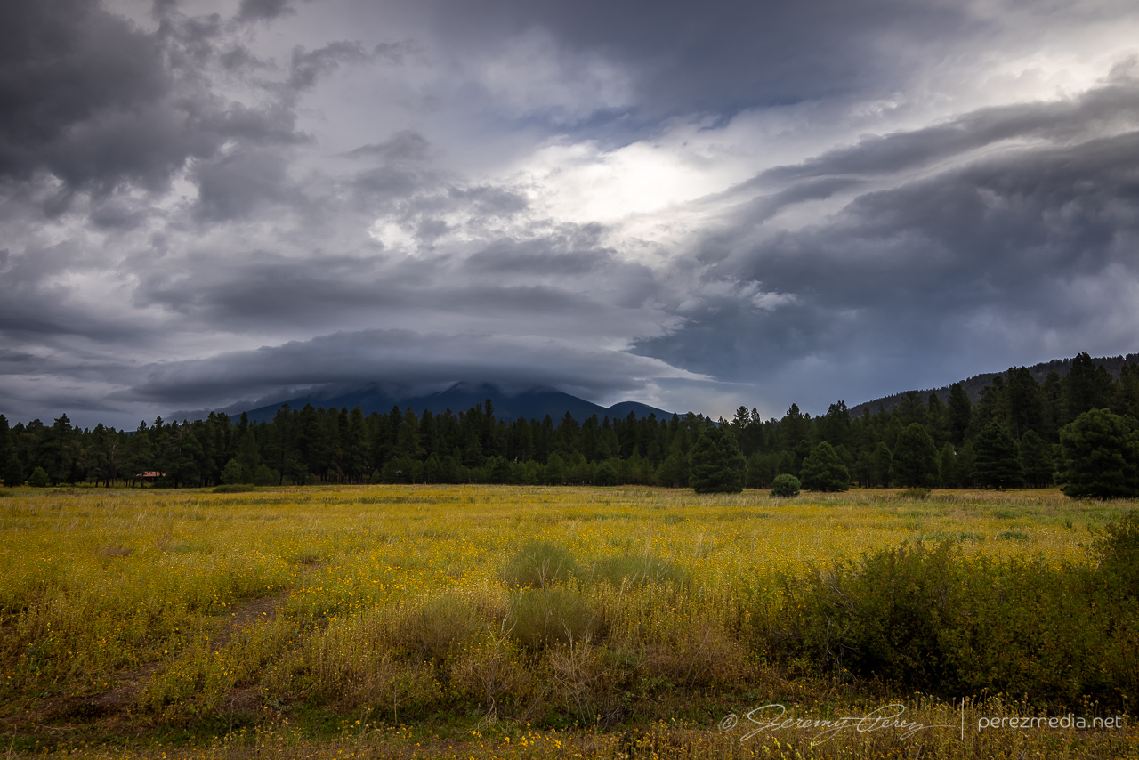
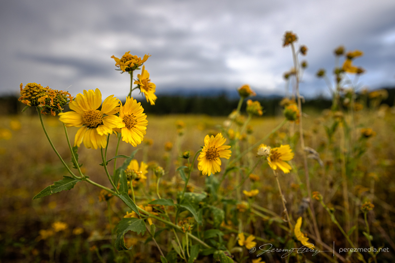
Wildflowers have been going nuts, so I snagged some of those while I was at it.
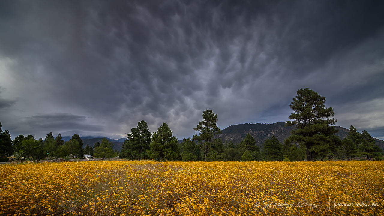
Cruising through midtown, a bit of mammatus was drifting above the wildflowers near Buffalo Park, so another stop was made.
As I made my way home on the east side of town, I made another detour to finish things off with sunset on the remaining scraps of convection and debris clouds.
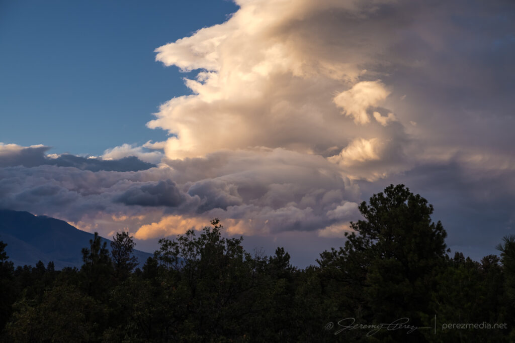
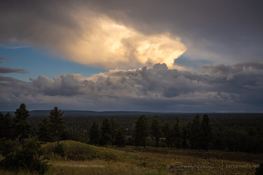
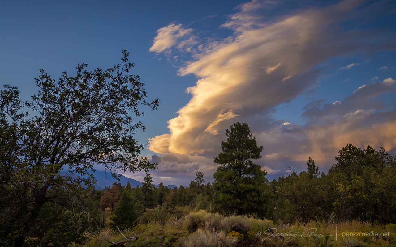
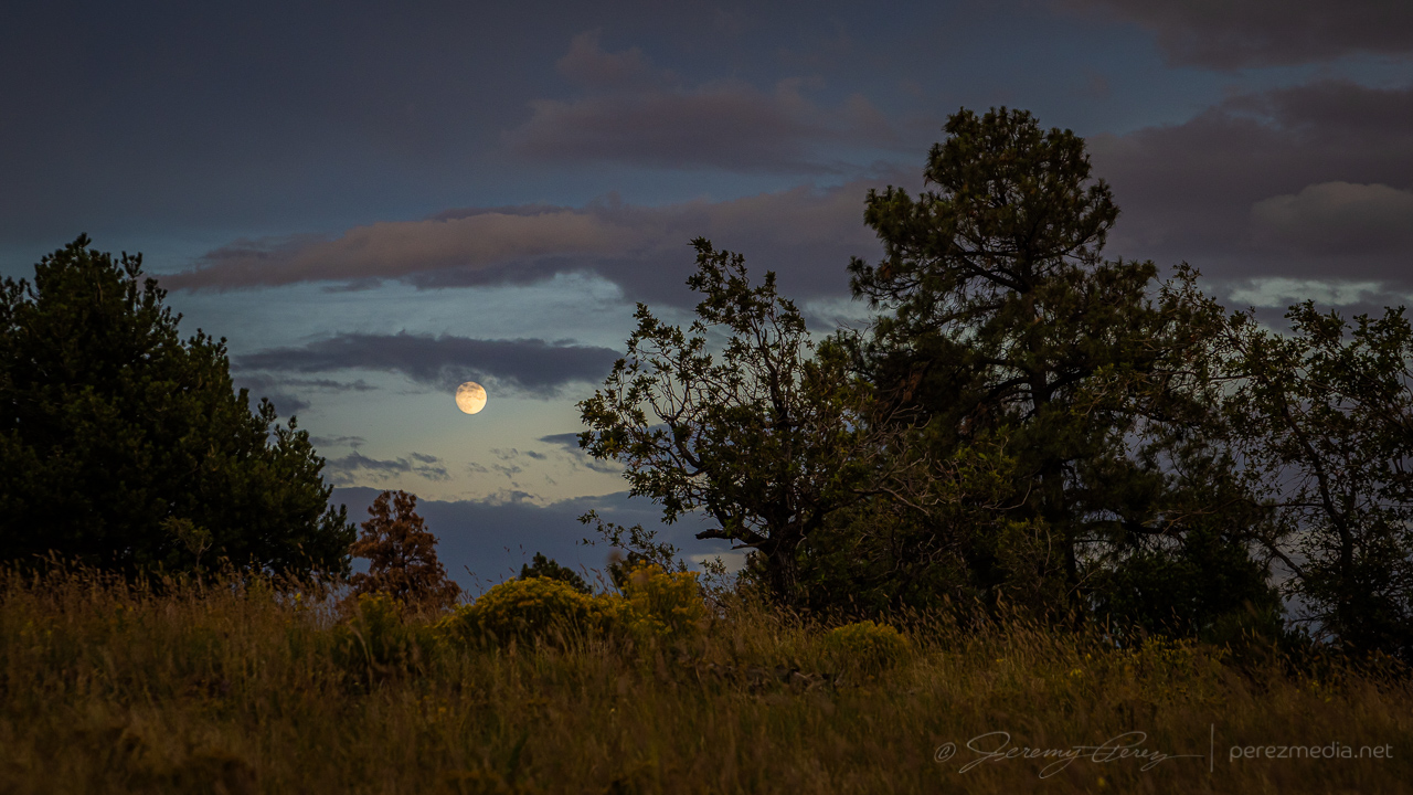
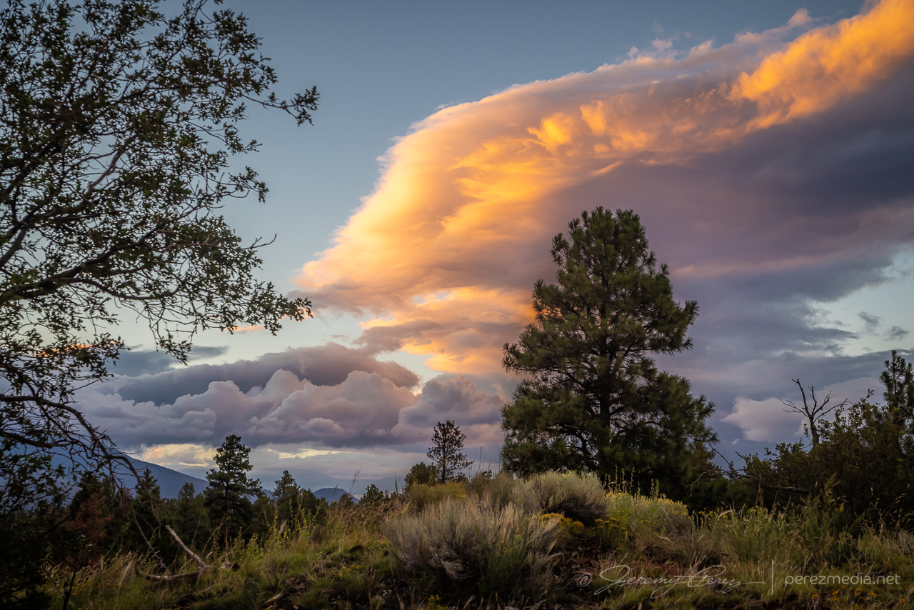
It wasn’t a hearty transition event, at least for the area I chased, but the chase was loaded with great scenery and gorgeous skies. It was good to be out running with the weather for this one.
Early observations this day were in agreement with models that an organized line of storms would descend into the desert around Phoenix that evening and would be preceded by a couple rounds of potentially strong but more isolated storms in the northern part of the state. I started the chase off near Twin Arrows, south of Interstate 40. Storms were popping up by the time I got there and updrafts strong enough to get some photogenic bases, lowerings and downdrafts.
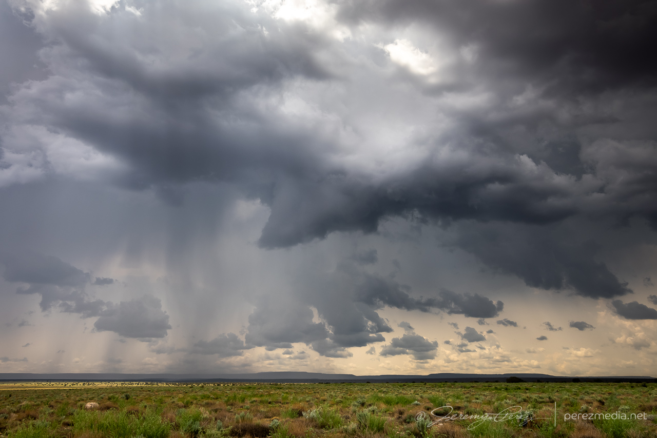
A couple cells strengthened west of my location. The one closest to Flagstaff developed a velocity couplet and picked up a severe warning, while the one closer to me seemed to be struggling but also developing transient areas of rotation. I decided to stick with it, since my plan was to keep a lead on developing storms eastward then south toward Phoenix. I do wish I had gotten a better look at that stronger cell though.
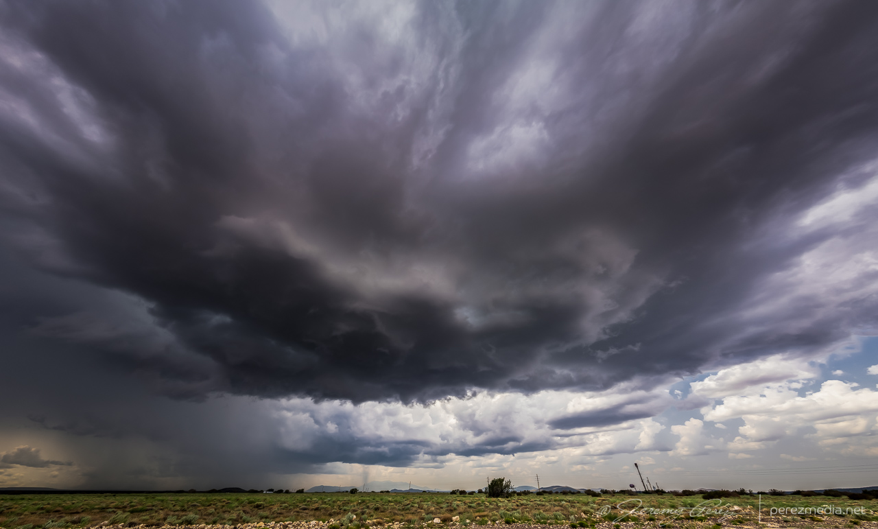
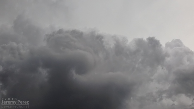
As that cell moved overhead, it displayed some beautiful vorticity in the updraft before I had to move to get out of the rain. After that, I headed to Winslow and dropped south on Route 87. The idea was to ride new development moving off the Rim into Verde Valley. However, things didn’t ignite the way I hoped. A line of storms went severe warned off to my east, but were too far off for any decent views.
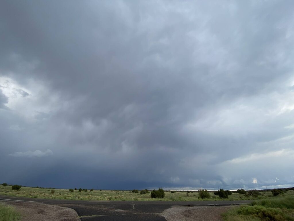
So I dropped on down to a hillside vantage on the east side of the Camp Verde and took a conference call while waiting for some activity. Storms gradually started popping again in the general area.
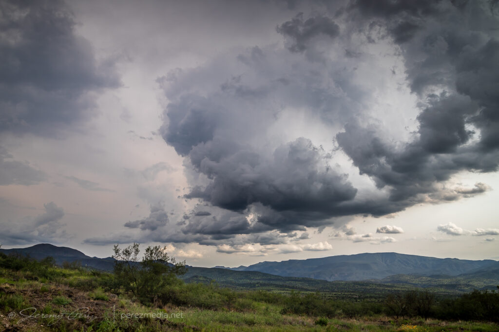
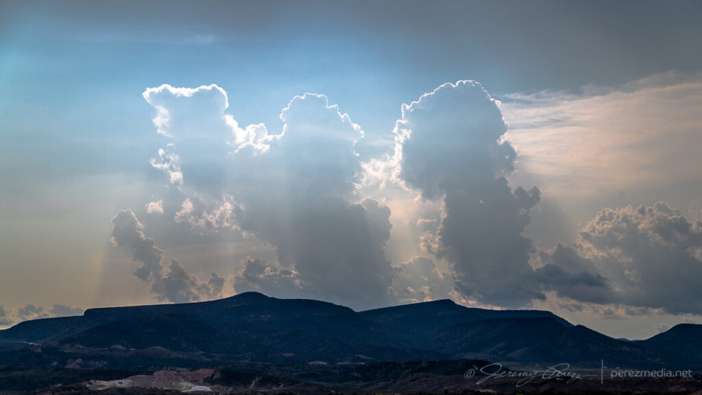
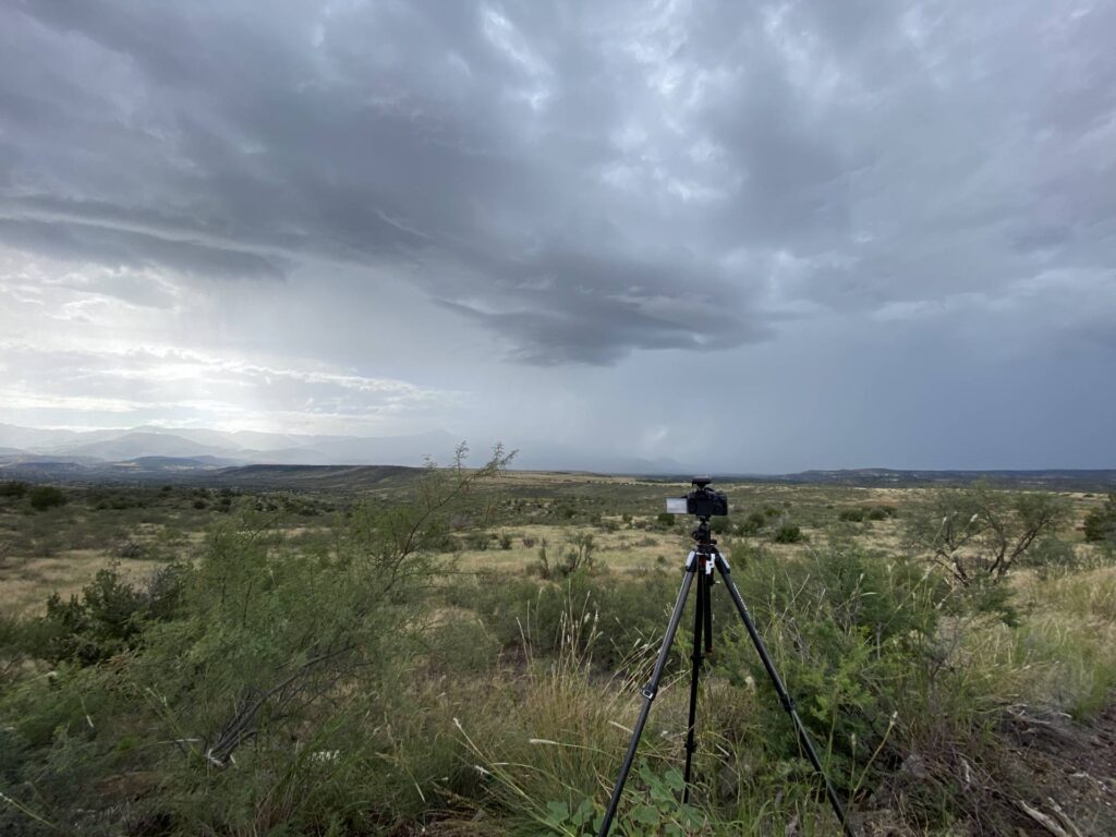
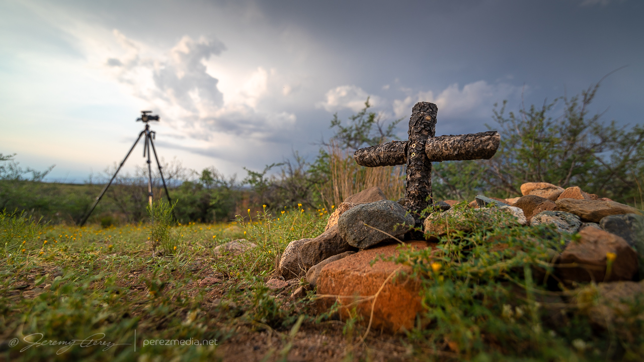
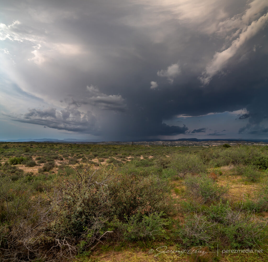
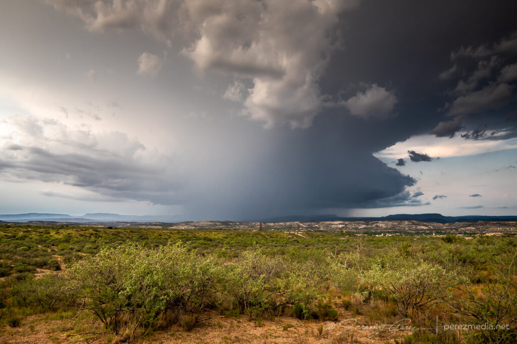
Finally it looked like something might be strengthening to the north, so I headed to a vantage on the west side of Camp Verde. As the northern cell strengthened, I scouted around for a good spot to tripod some attempts at lightning triggering. Someone else apparently likes the views in that area and had buried a couple beloved pets in that spot. The general vicinity looked like it had been periodically weed-whacked & kept up.
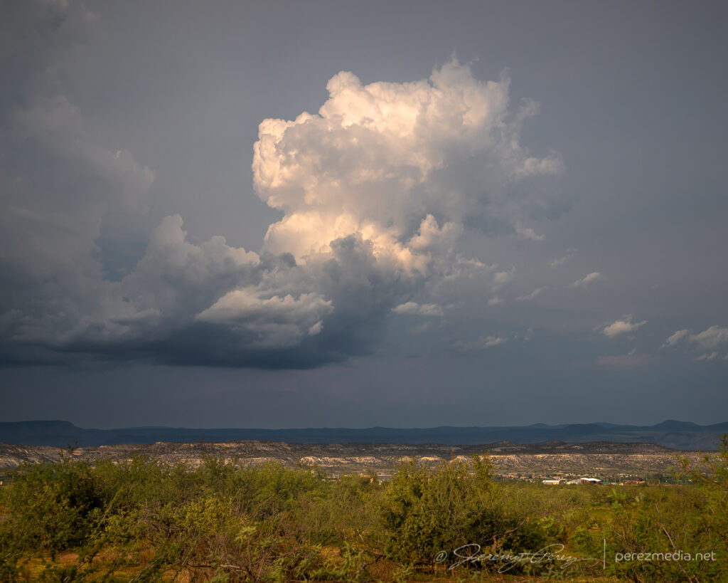
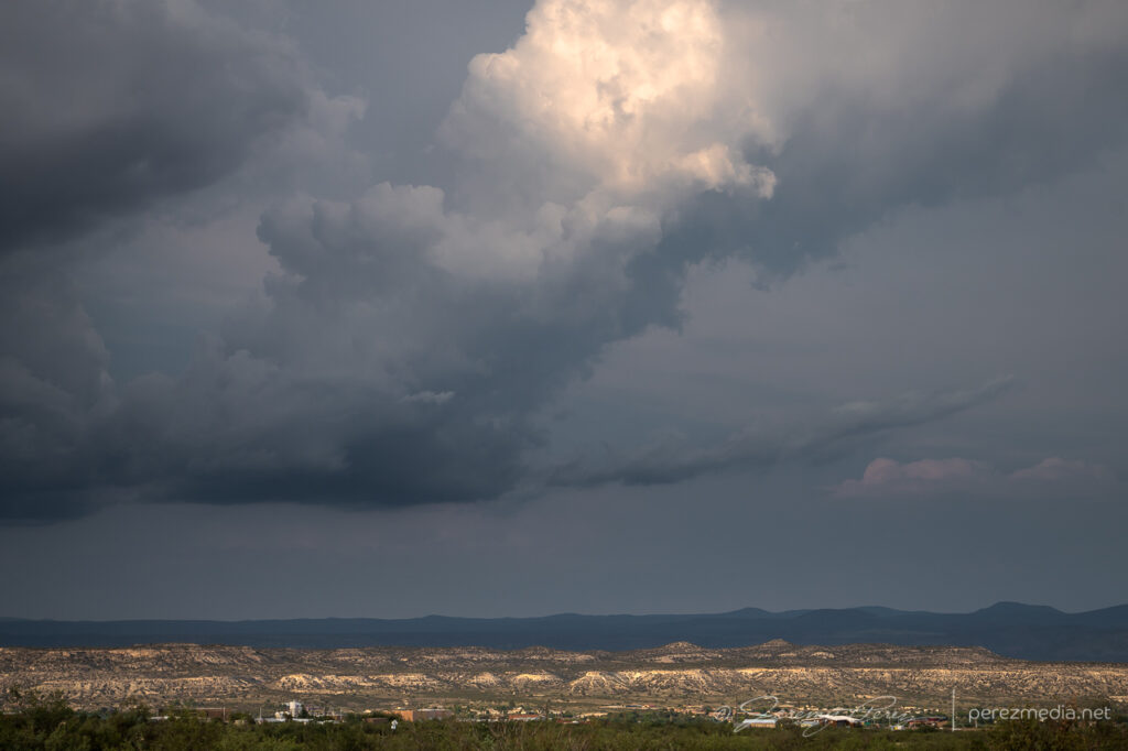
The cell to the north continued to strengthen, picked up a velocity couplet and a severe warning as it gathered what was probably some decent structure on the other side of the precipitation.
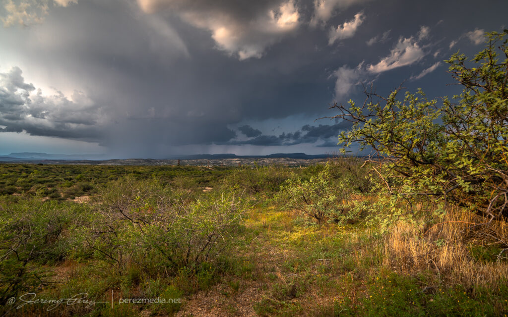
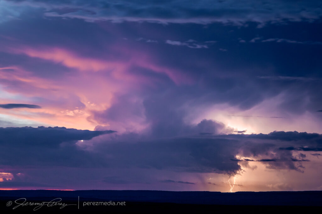
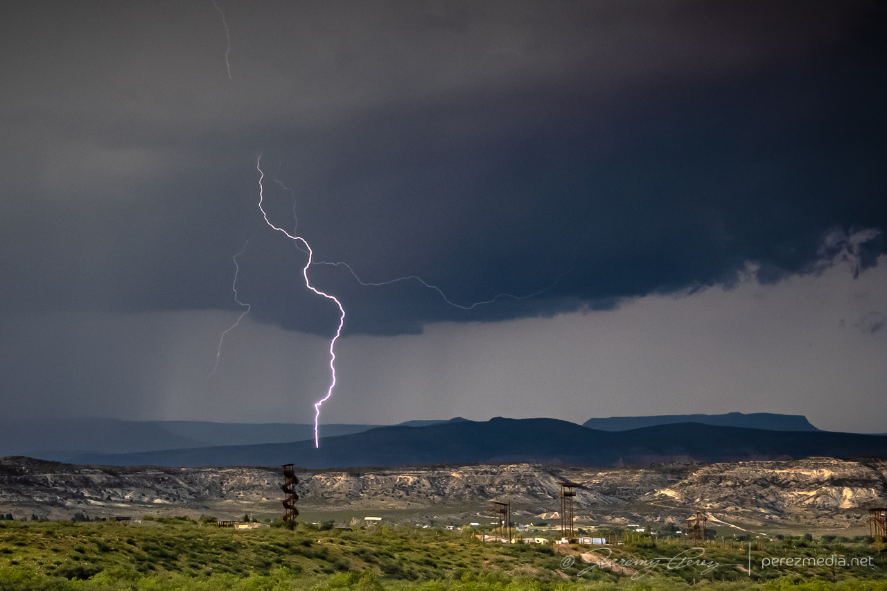
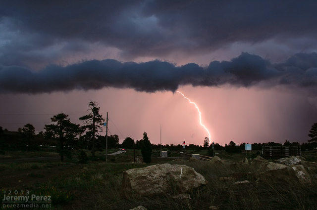
Thankfully, I did manage to snag one CG strike out of that one before I had to head further south.
As I made my way onto the desert floor and headed east, storms over the Sierra Ancha were growing as expected and it looked like I’d be in good position to set up at a site I had scouted on Google Maps just north of Rio Verde. As I approached, lightning was illuminating the tops of the storms and I was hopeful for some good photo ops. But within a mile of my vantage, I saw that my road was closed due to being washed out by flooding over the last few days. I tried to find another nearby spot with a view over the treetops, but failed on that. So I backtracked several miles to another scouted spot and made my way to Tom’s Thumb Trailhead. It was a just-in-time setup, as the storms were quickly rushing into town and were almost on me.
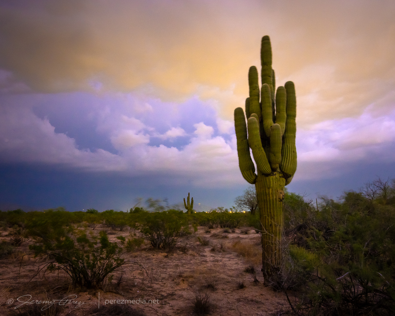
Lightning was constant, but I wasn’t seeing any bolts outside the clouds or rain. The shelf cloud looked pretty good though and I started grabbing shots with the saguaro, palo verde and nearby peak.
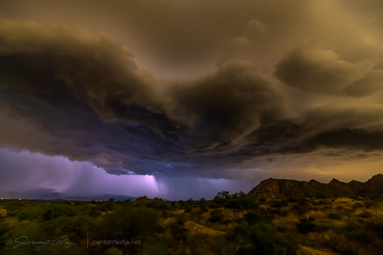
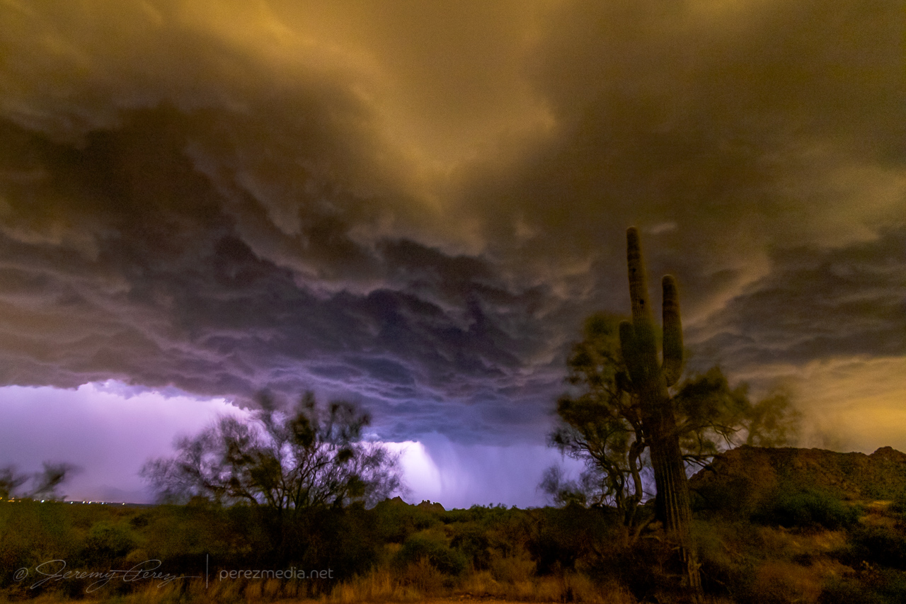
I had about 7 minutes to get those shots before the gust front was on me and rain was growing heavy. I rushed to get off the dirt road leading there before it got swamped, and made my way to the Phoenix Sonoran Preserve to try and get some more shots, but intracloud lightning was the only thing happening.
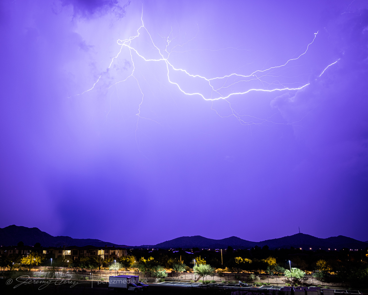
Another couple cells looked like they were firing to the north and I managed a couple cloud-to-cloud bolts out of that before calling off the lightning attempts.
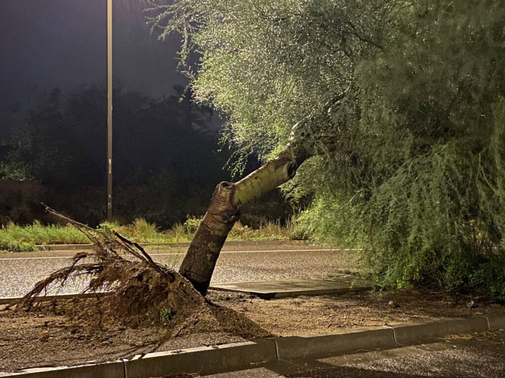
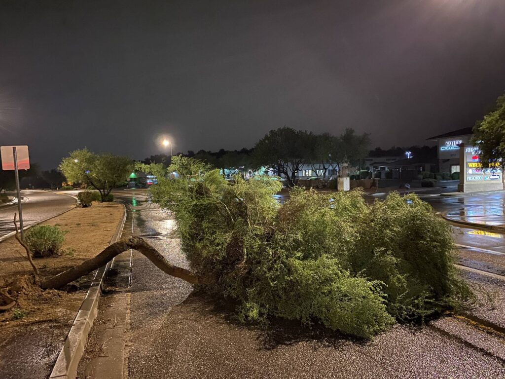
As I headed toward Interstate 17 to head back home to Flagstaff, I had to weave around a few palo verde trees that had been blown down into the road. I stopped to send in a spotter report on those, and then headed home.
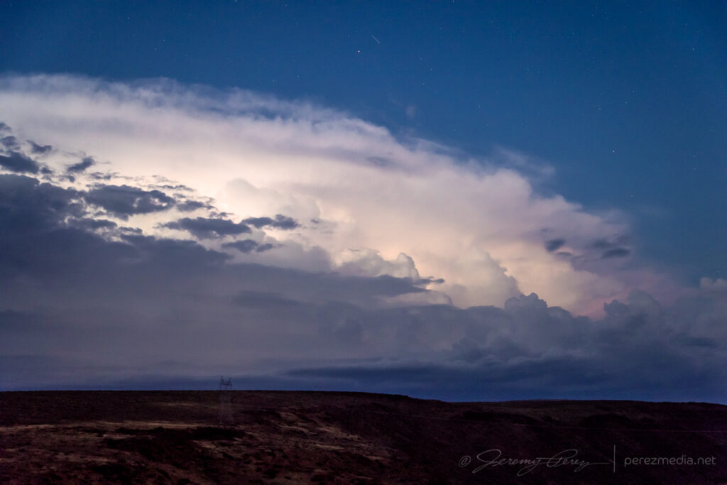
The evening of August 13th looked like a good one to ride a line of storms off the mountains and down into the deserts of central Arizona. I headed south from Flagstaff around 6:30PM as storms were firing along the Mogollon Rim to the southeast. They were beautiful in the setting sun, but I was already behind schedule and didn’t have time to get photographs. I eventually arrived at the Sunset Point rest stop on Interstate 17 north of Black Canyon City. By this time, deep twilight revealed internal lightning strobing in the anvil and cloud tops. Low level stratocumulus was hindering the view a bit, but I hung out and started a time lapse.
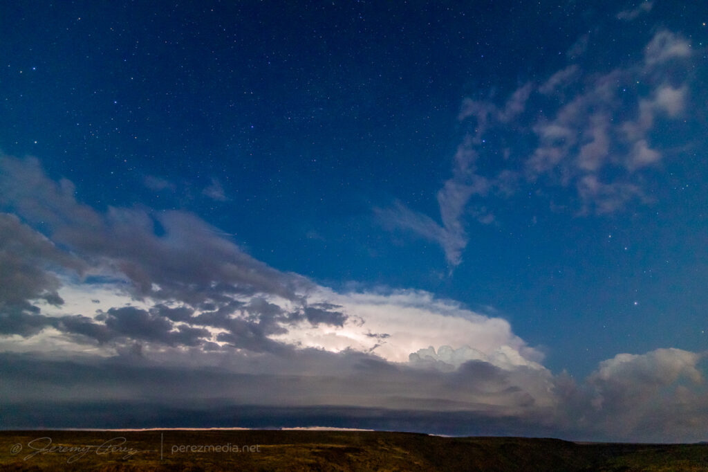
As the line of storms grew closer, increased inflow started to take care of the intervening clouds and a shelf at the base of the storms took shape. Lightning was constant, but CG strikes weren’t part of the action. Still, the strengthening line was looking impressive, so I stayed with it up on the plateau instead of repositioning & scouting early for the downhill desert phase.
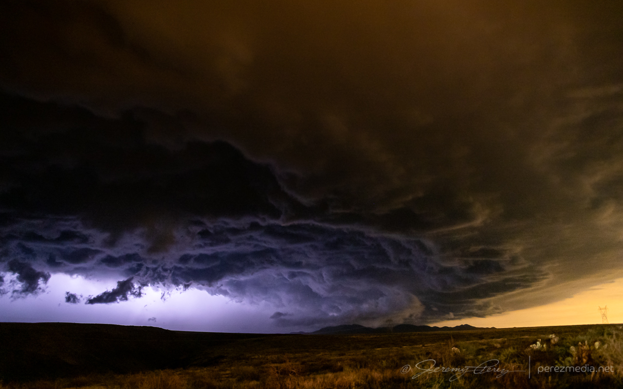
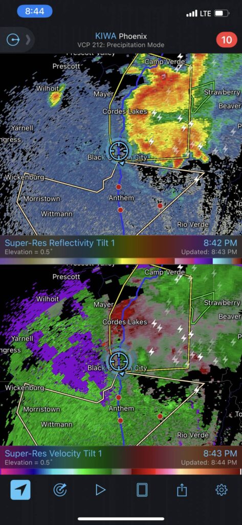
As it drew closer, reflectivity showed a pronounced rear inflow notch developing. I knew it was going to be a rough ride down the hill if I didn’t get moving soon, but really wanted to see what it looked like as it got closer.
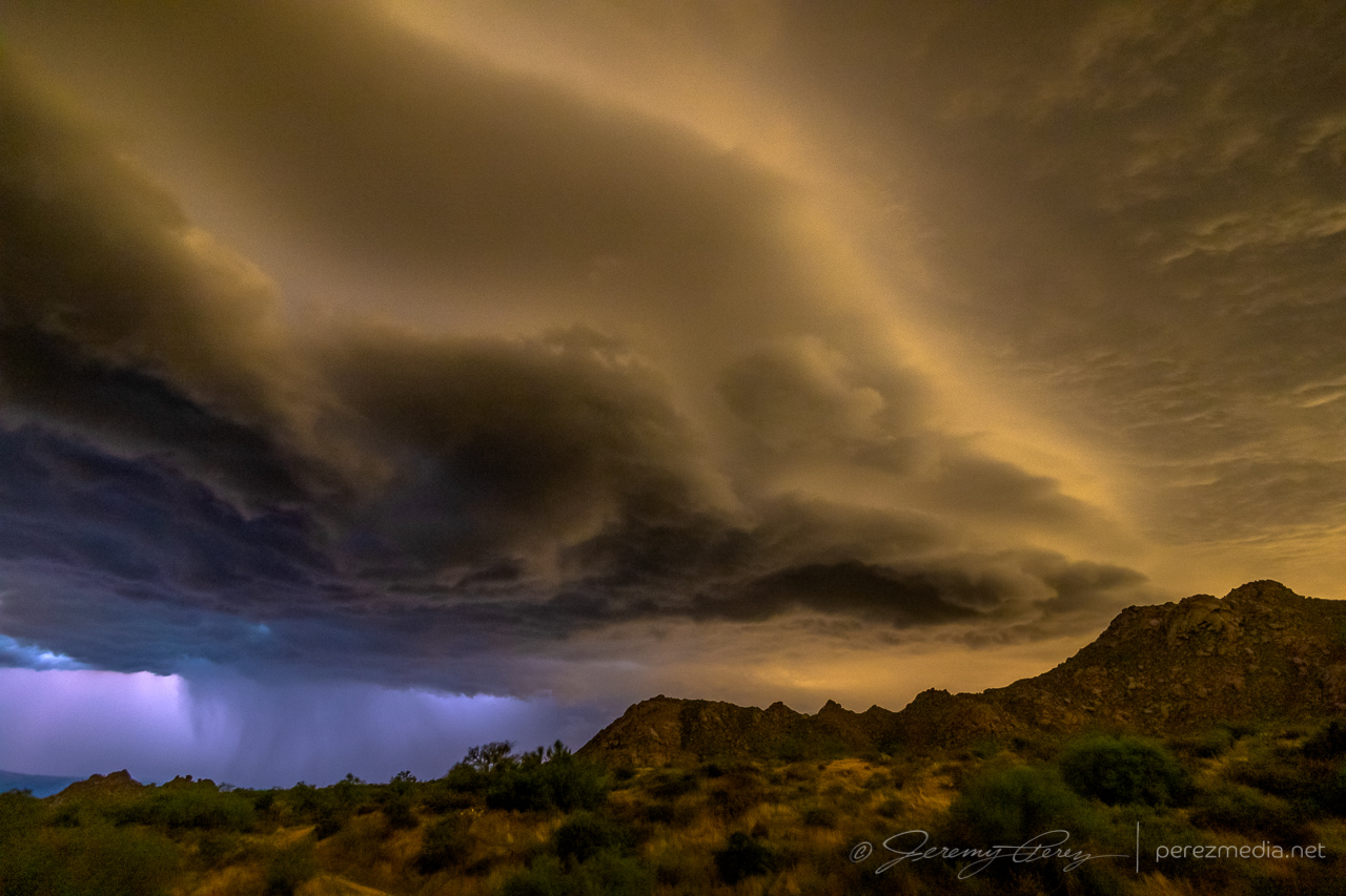
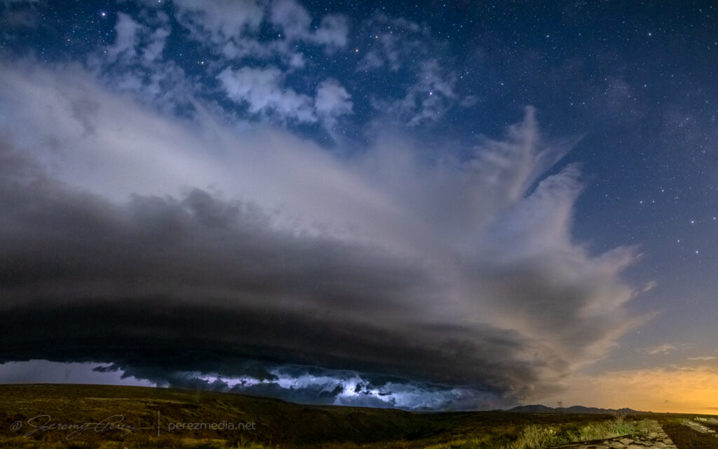
It did not disappoint. Between the orange illumination of the Phoenix sky glow and blueish-purple lightning blazing from within, the storm was otherworldly as it loomed closer.
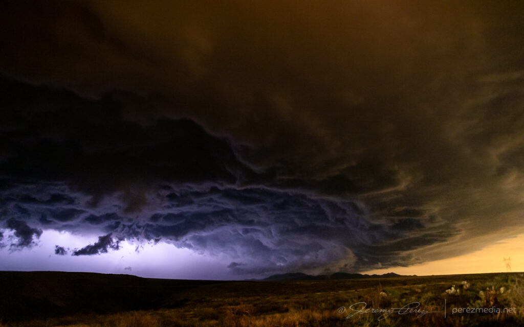
Moments after that photo, the wind really started kicking up. I tossed everything in the car and surfed an aggressive gust front down to the desert floor. From there, I tried to gain ground on it to the east toward Wickenburg to see if I could catch any decent structure or lightning strikes. But the whole complex was moving too fast to get far enough ahead on available routes. I wanted to hang back and try for perhaps a better chance at lightning behind the line, but needed to get clear of desert washes that were likely to flood and strand me if I hung out in an isolated spot too long. I got down near Interstate 10 about 25 miles west of Tonopah and managed to capture some anvil crawlers. They were okay, but not the CG strikes I was hoping for.
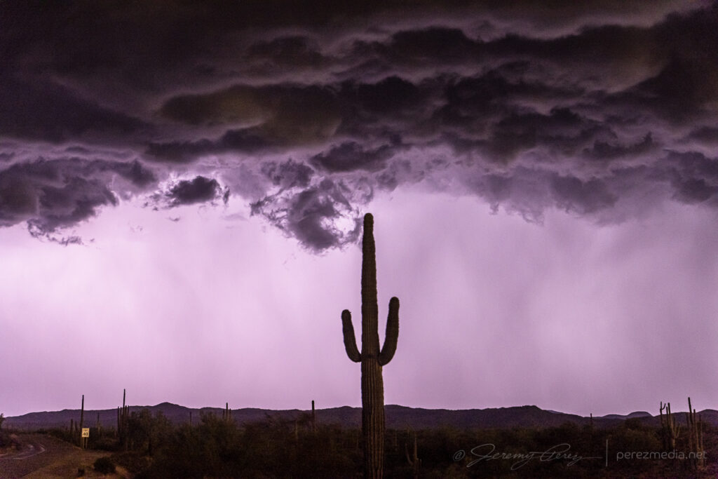
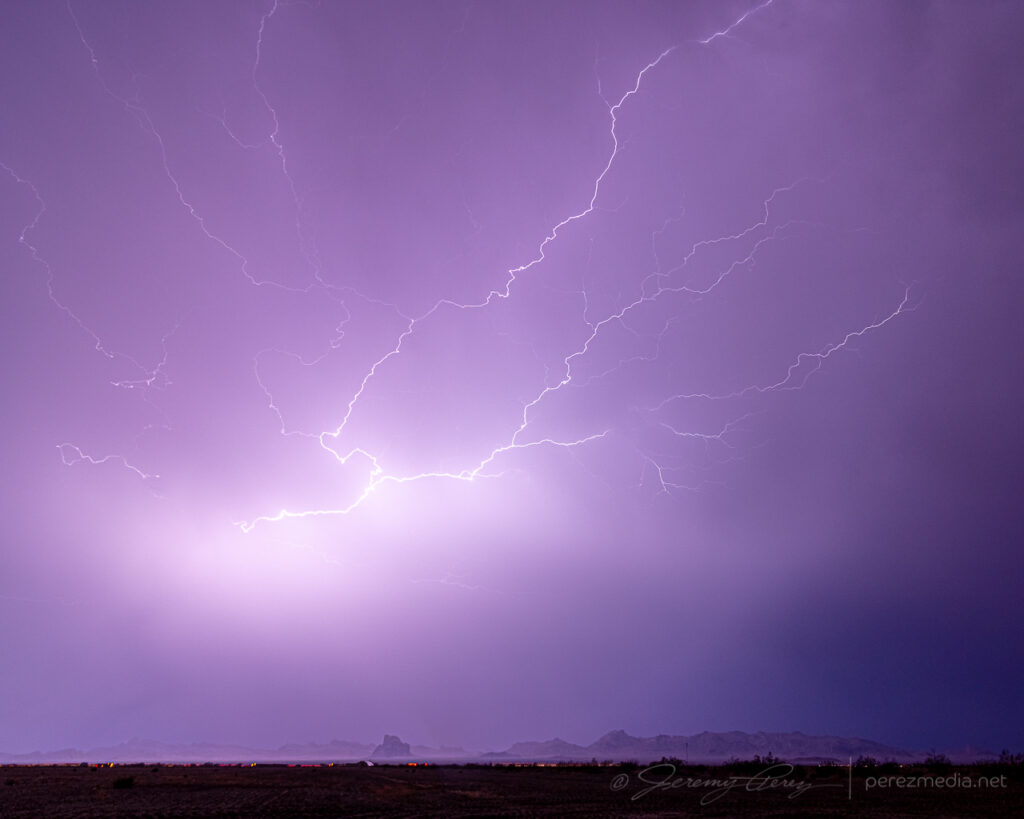
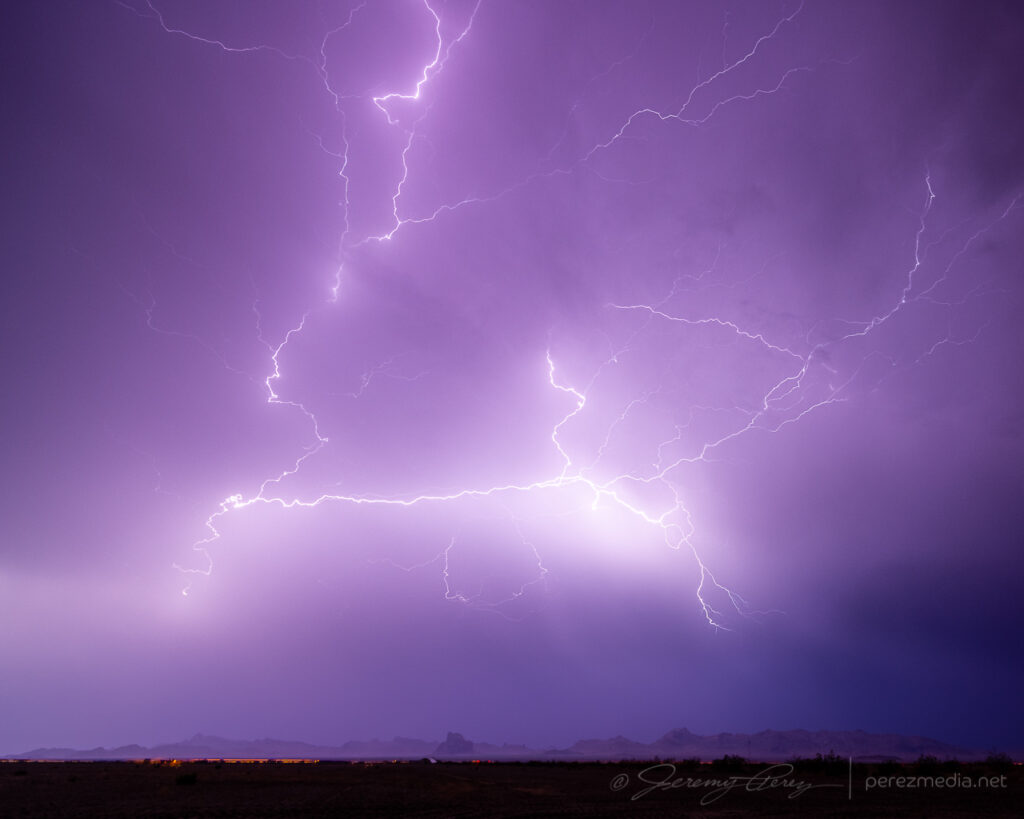
Overall, it was fun to surf my second Arizona bow echo. In hindsight, I could’ve headed home after the Sunset Point encounter and been very happy. But you can’t always tell whether later parts of the show will be worth the extra miles.
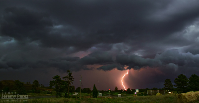
The 2013 Southwest Monsoon season still has three more weeks to go. Before it moves into the sometimes interesting transition period at the end of September and early October, here are some highlight photos. Except for the lightning shots, the rest of the shots were taken with my iPhone. It has drawbacks with noise, especially in low light areas, but it’s so handy, and always with me that I’m getting shots that I otherwise might not be prepared for. (What that means is I need to make an effort to keep my camera with me more often.)
Panorama of a storm developing south of Flagstaff as seen near I-40 and 4th Street at 2:18 PM.
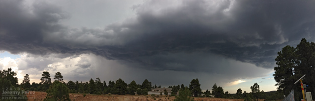
New development overhead a few minutes later was drawing in a bit of vorticity and sculpting a brief cinnamon bun into the cloud base.
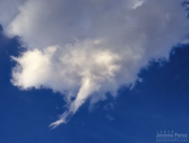
The base of a dying updraft over east Flagstaff tapers to a point.

The dwindling remnants of the eroding storm base reveals a slowly rotating spindle–not rapid enough to be a shear funnel.
An active storm north of Mt. Elden puts on a beautiful show of ongoing anvil crawlers.
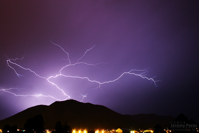
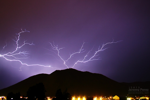
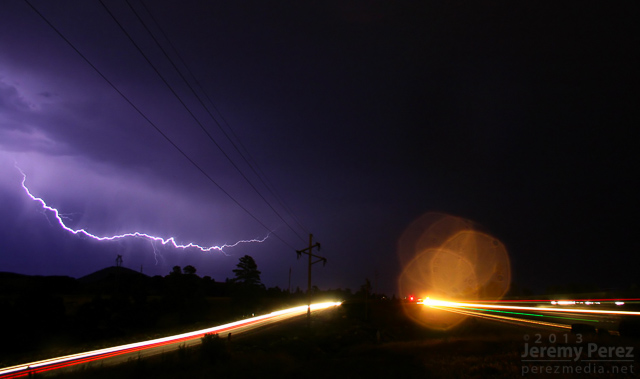
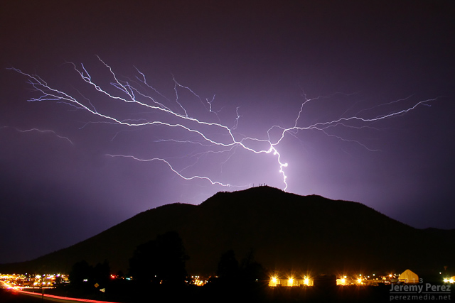
Pop-up convection develops west of Flagstaff as seen from Rt. 66 in east Flagstaff.
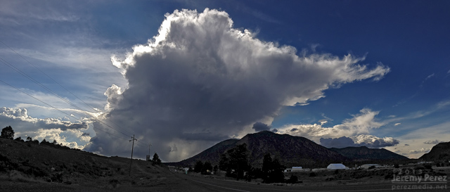
Lightning flickers behind a weak gust front east of Flagstaff as seen from Rt. 66.
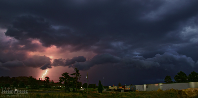
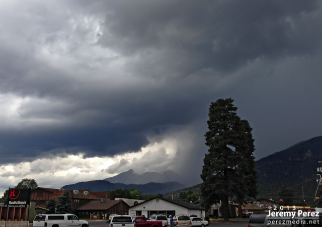
Inflow, chilled by heavy precipitation, creates a rugged lowering in the rain free base of this storm over Schultz Pass. As seen from 4th Street in central Flagstaff
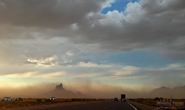
Dry outflow pushes a growing wall of dust northward from Tucson, as Picacho Peak rises above the dust and desert floor. The photo was taken by my wife, Amanda, as we drove north on I-10 toward Phoenix.
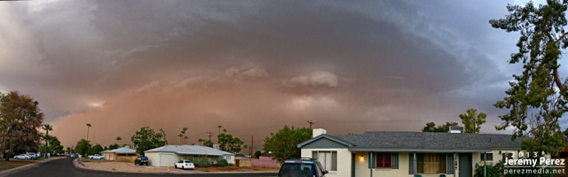
An ominous haboob blew into Phoenix, featuring a laminar updraft, intermittent shelf cloud and spectacular lightning after the gust front passed. This view is facing southeast as seen from near central Phoenix.
A beautifully lit and structured thunderstorm brews over the San Francisco Peaks as seen from Highway 89 in northeast Flagstaff.
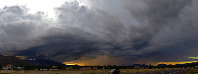
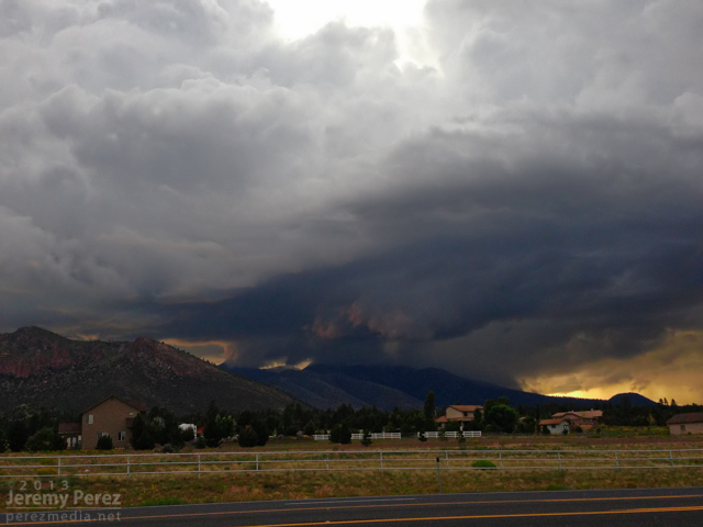
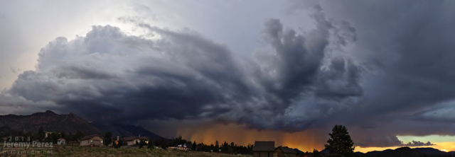
Looking south as a clump of northbound thunderstorms pushes a ragged shelf cloud into east Flagstaff. September 7, 2013. (Another iPhone panorama, so some of the seams are a bit jumpy.)