Tag: gust front

  • 6 June 2024 | Texas/Oklahoma | Severe Warned Gust Front

    6 June 2024 | Texas/Oklahoma | Severe Warned Gust Front

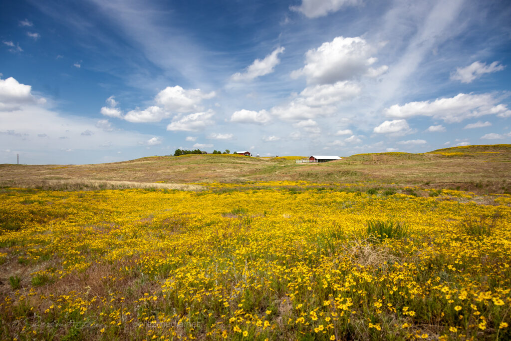
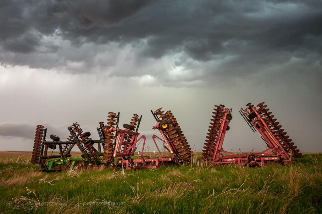
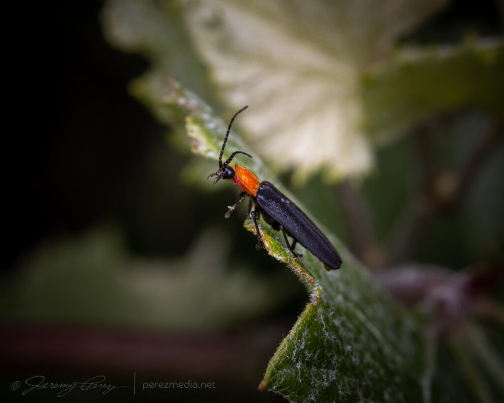
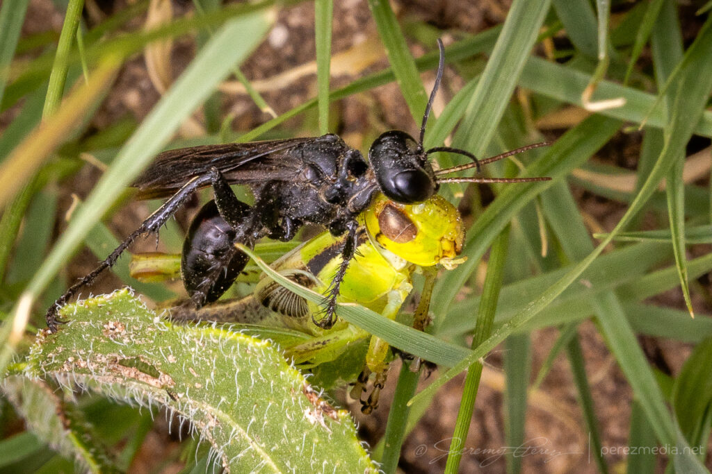
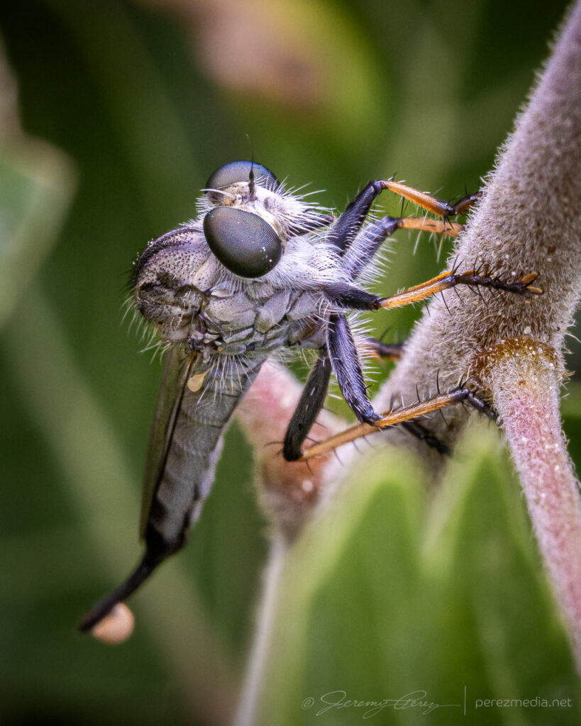
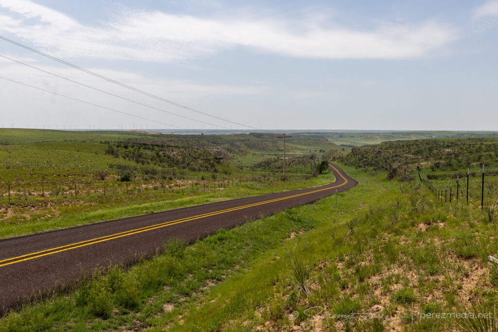
    This was going to be a slow-moving, low-shear day—10-15kts—and kicked off with some more macro photography north of Pampa after a roadside boondock.

    And a couple dung beetles honing their craft.

    After that I headed east toward Oklahoma, with convection firing at my starting point a little before 20Z.

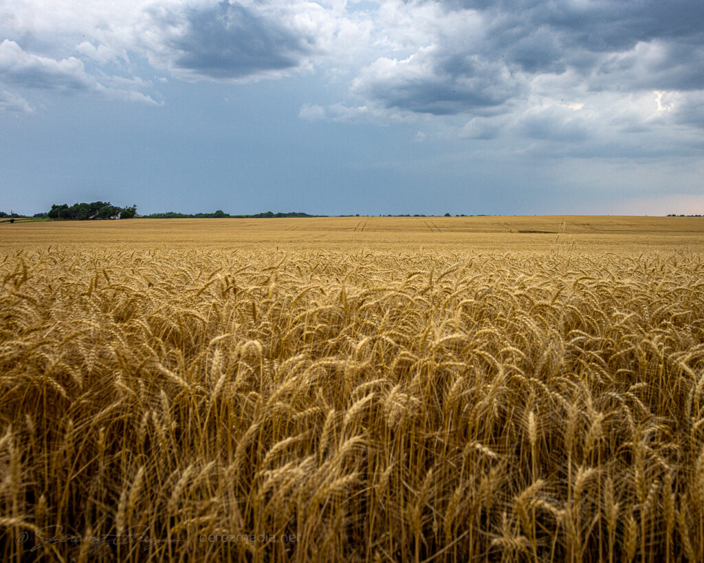
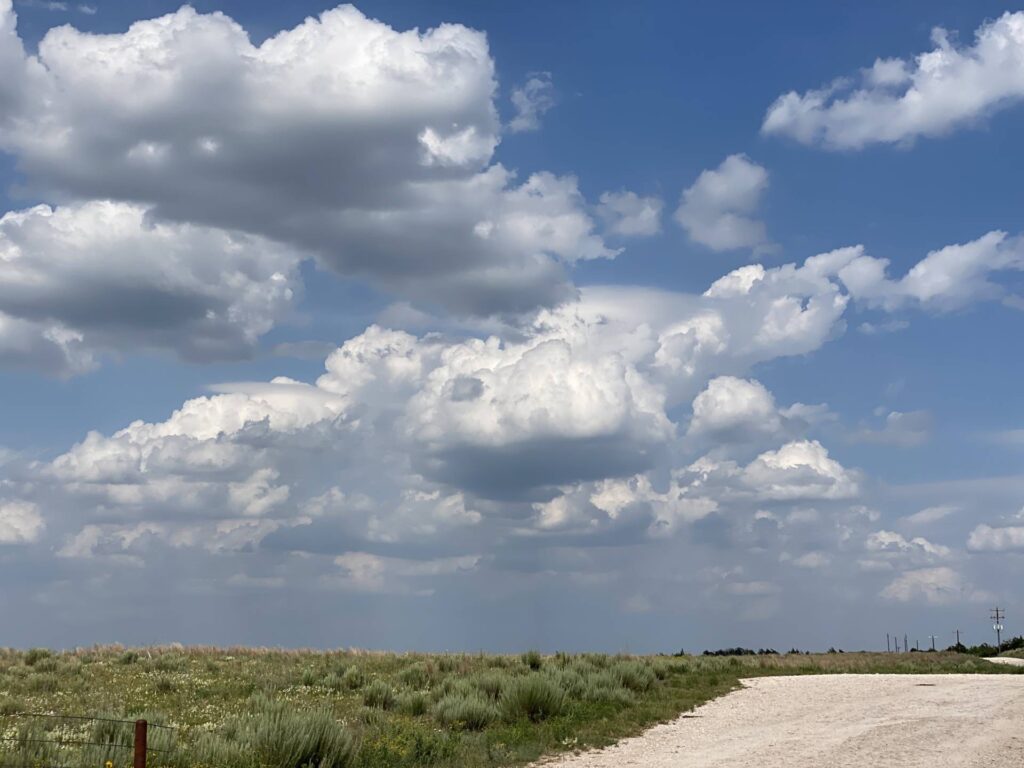
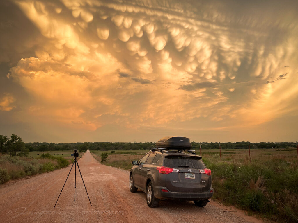
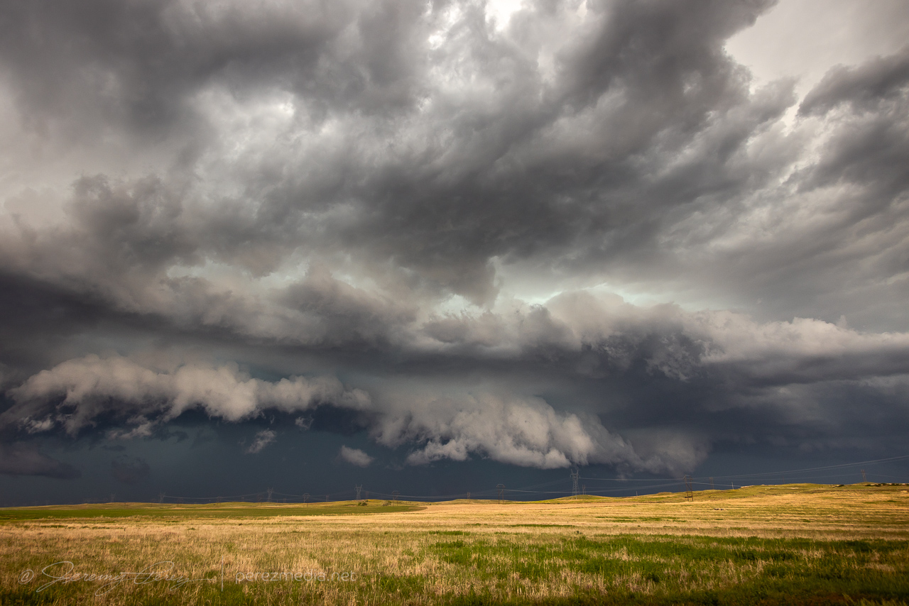
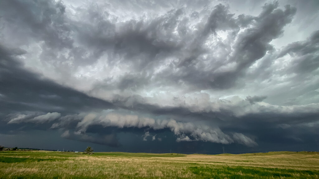
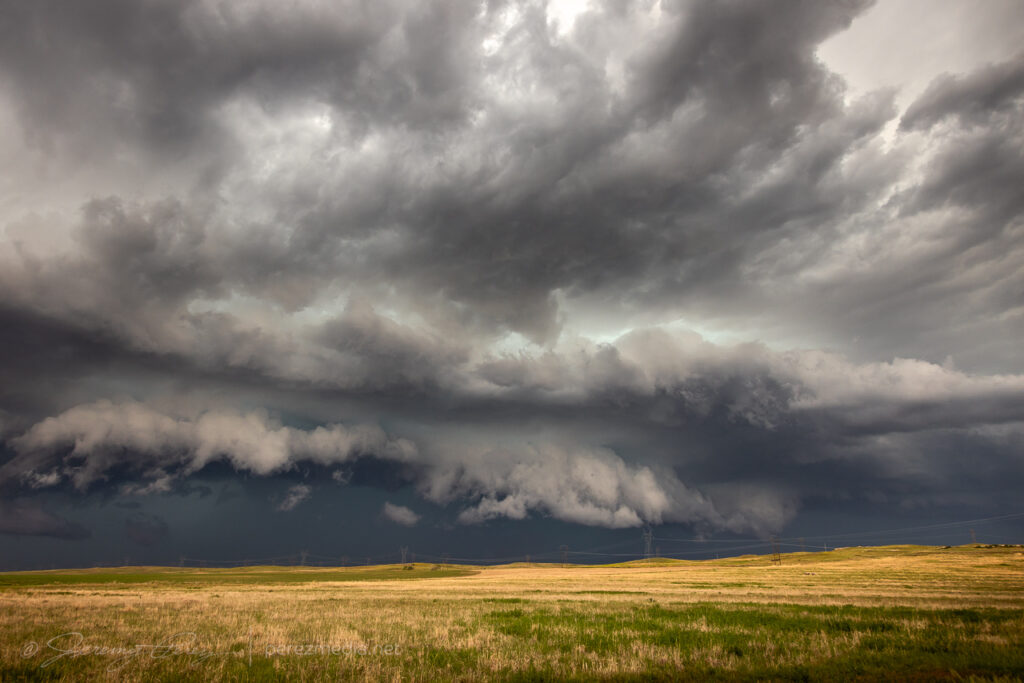
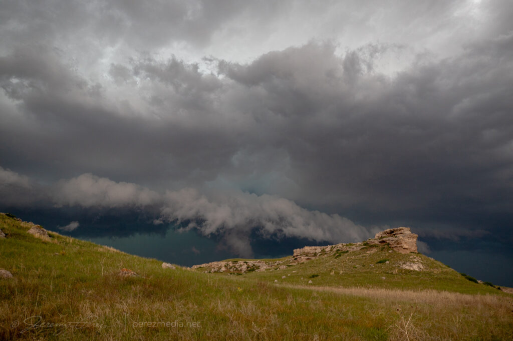
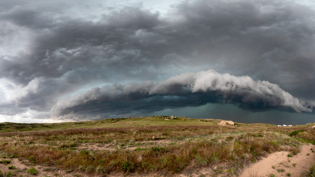
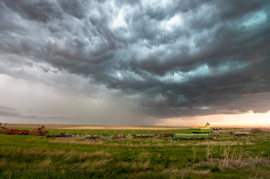
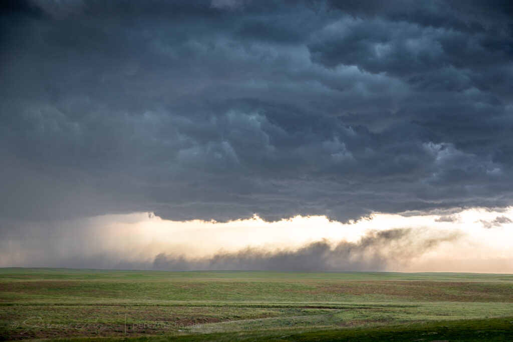
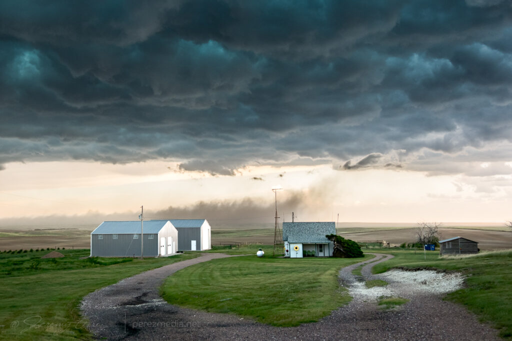
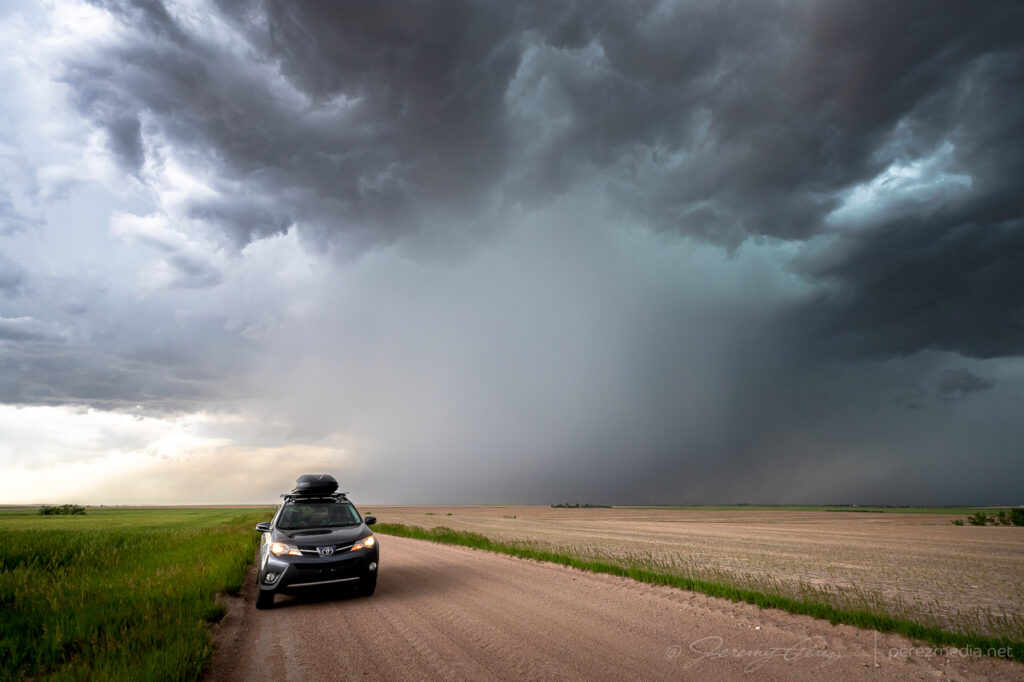
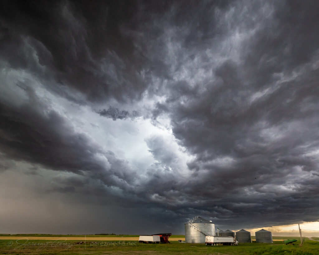
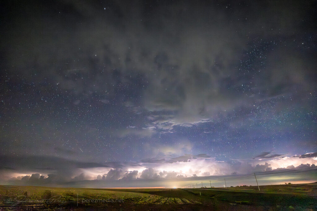
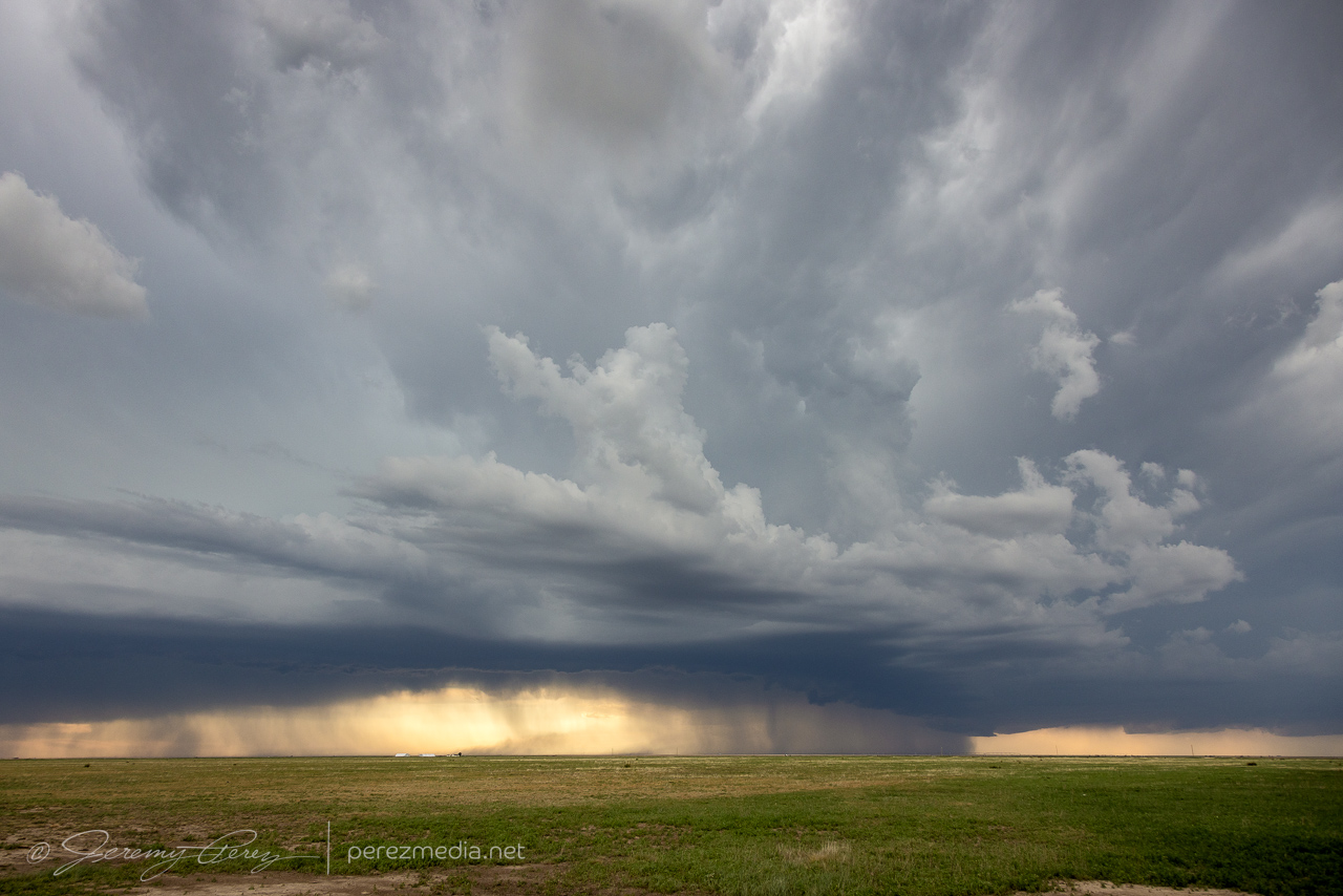
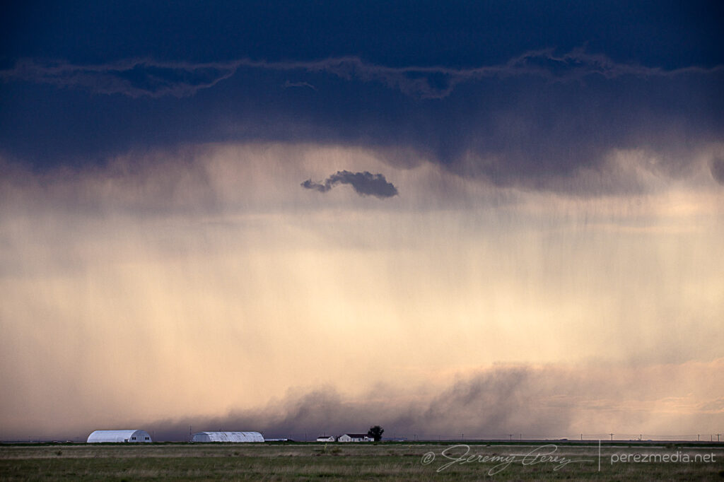
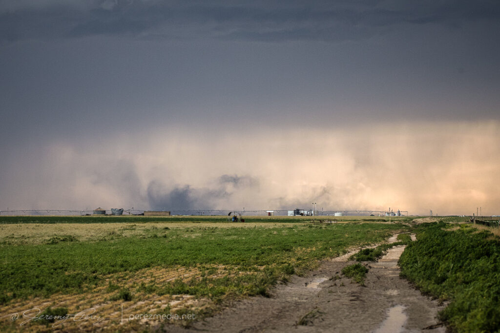
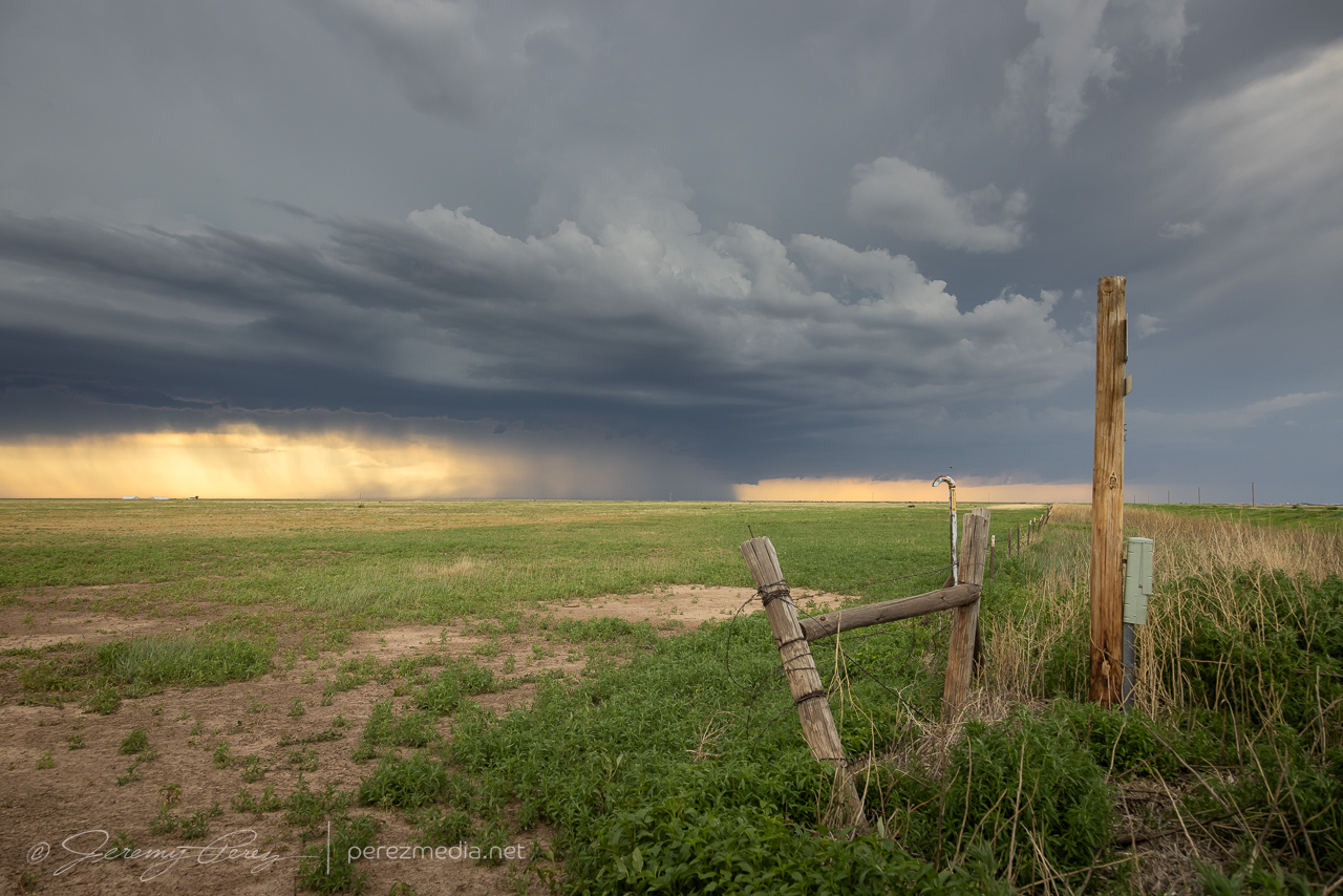
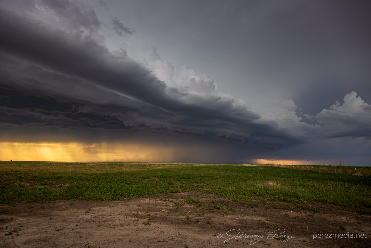
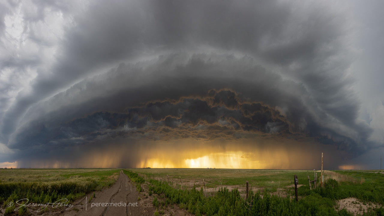
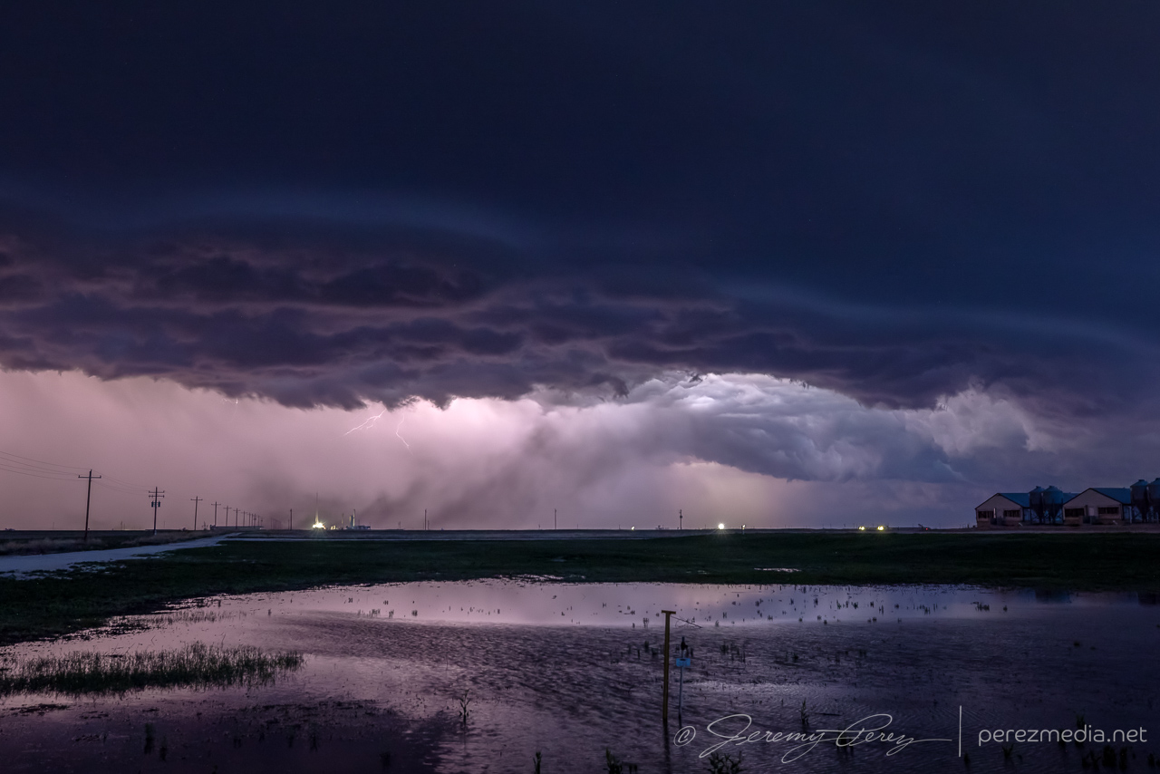
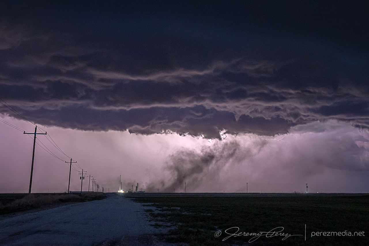
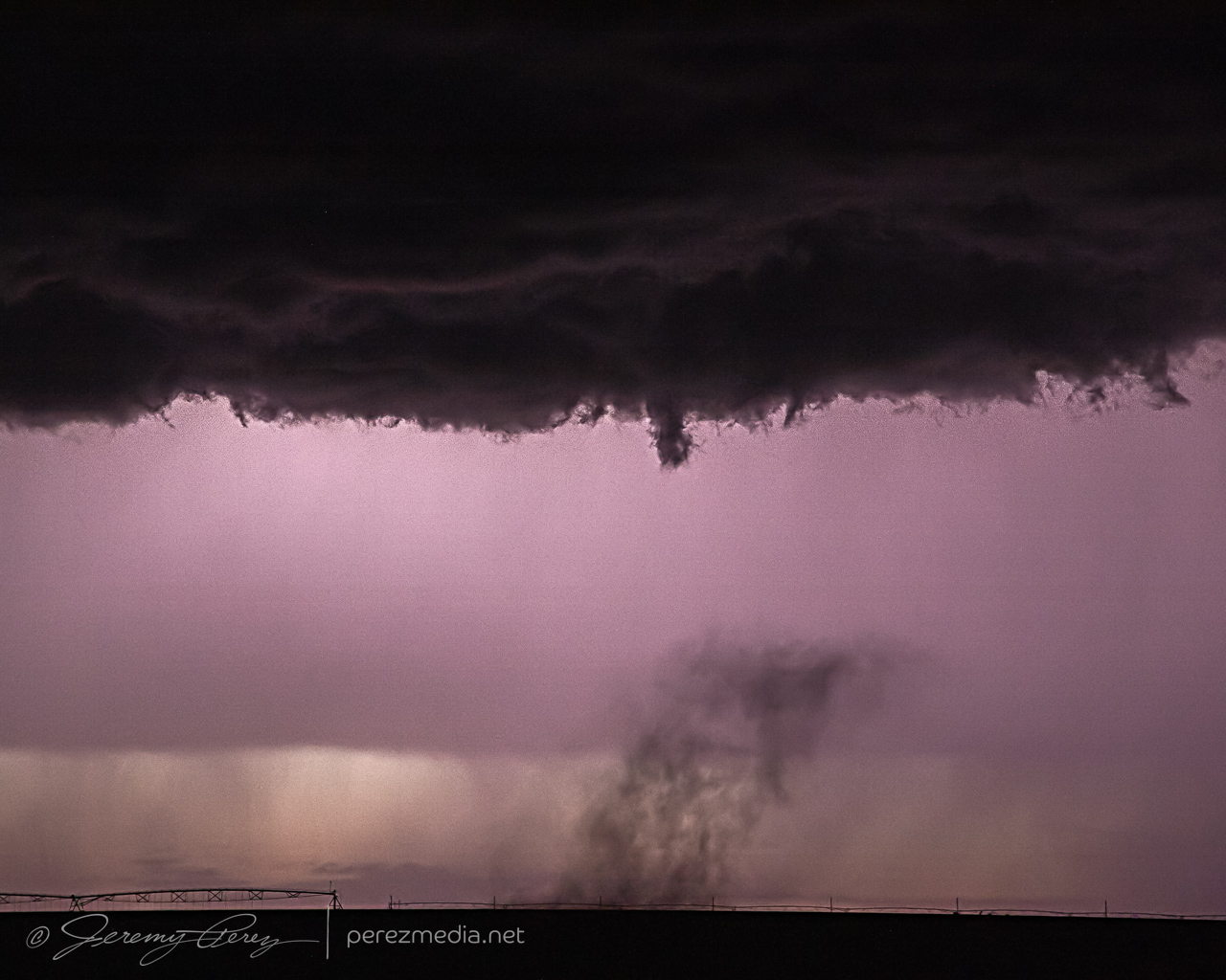
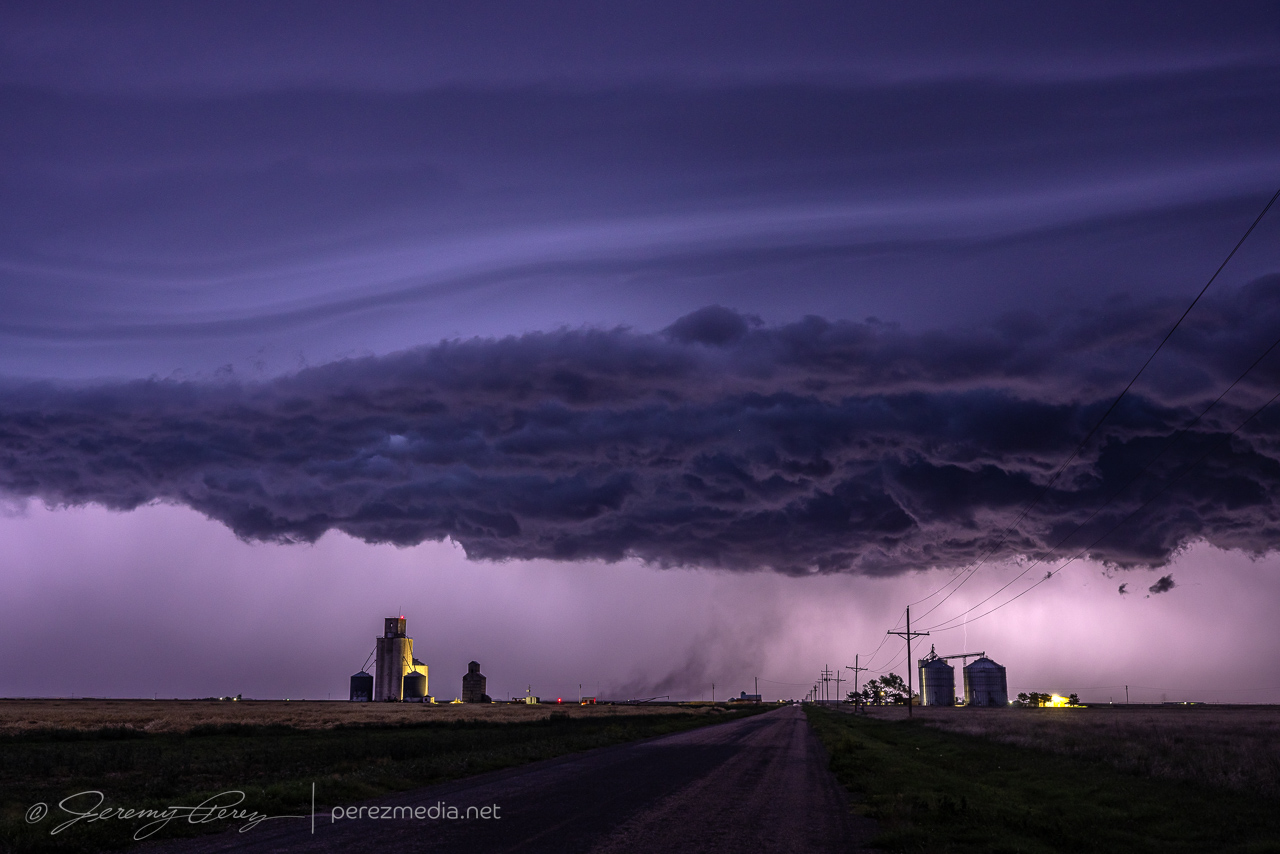
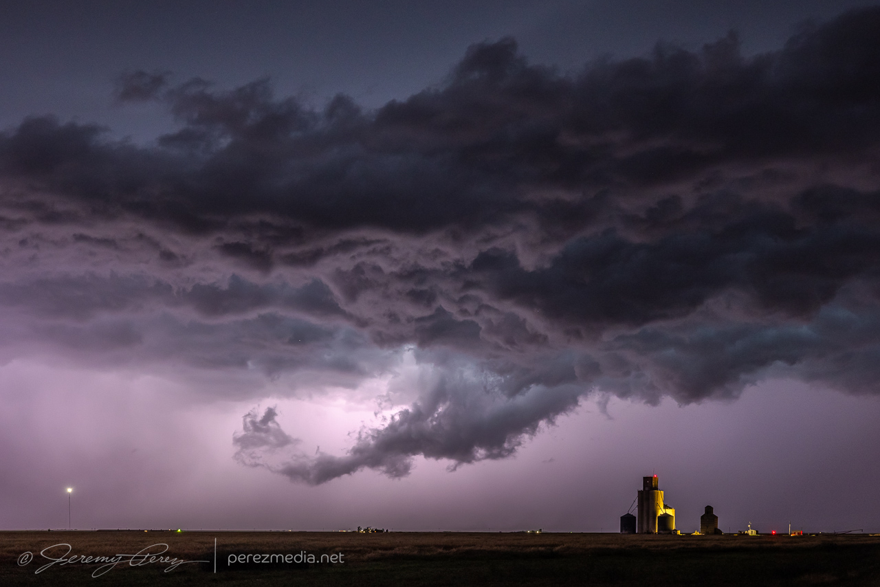
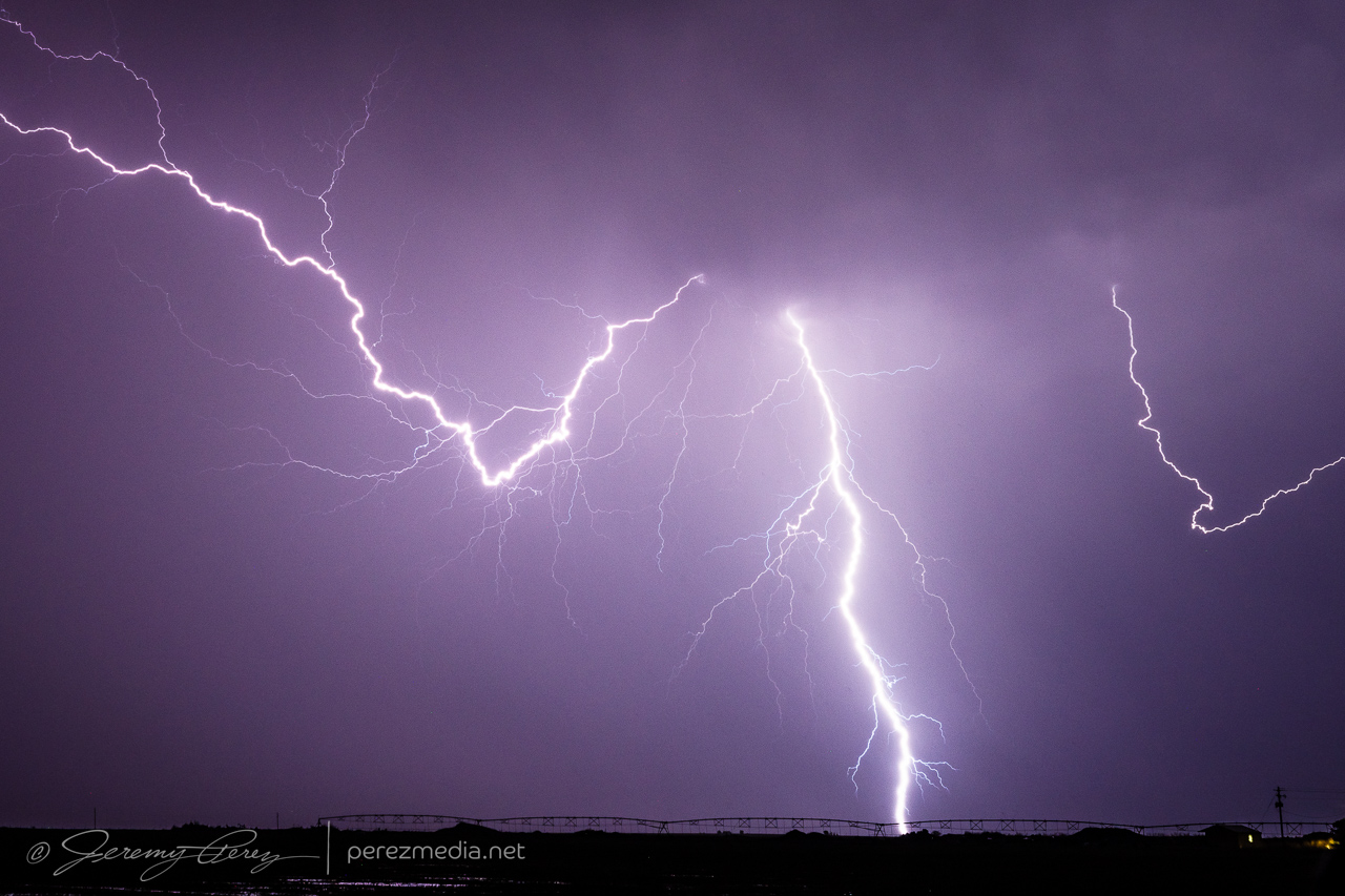
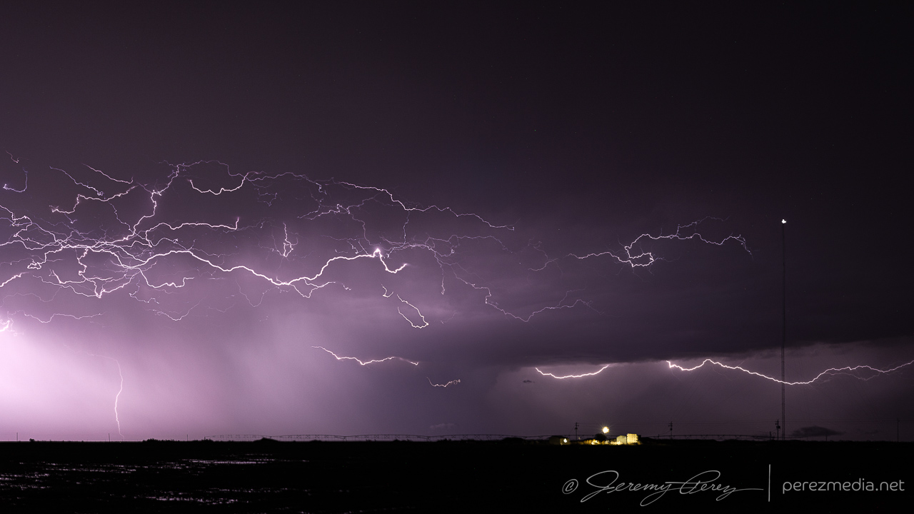
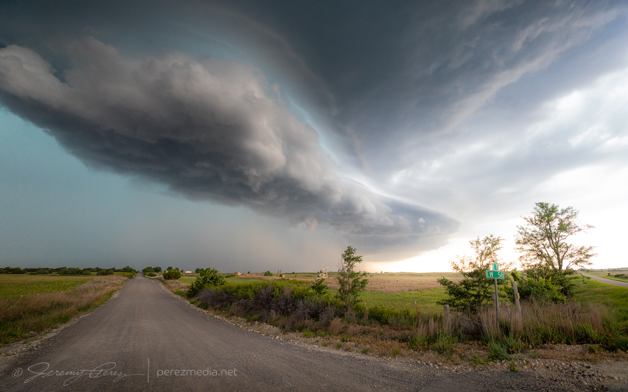
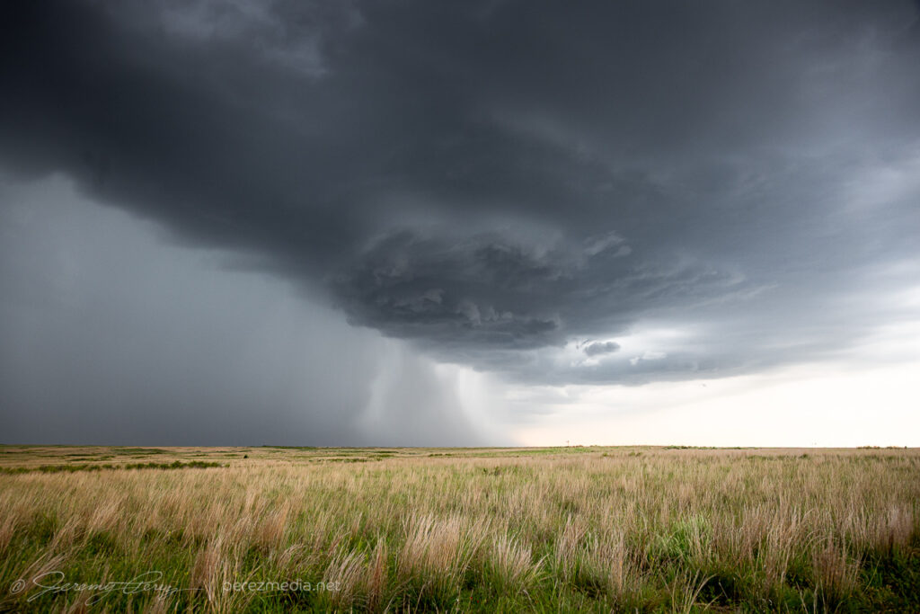
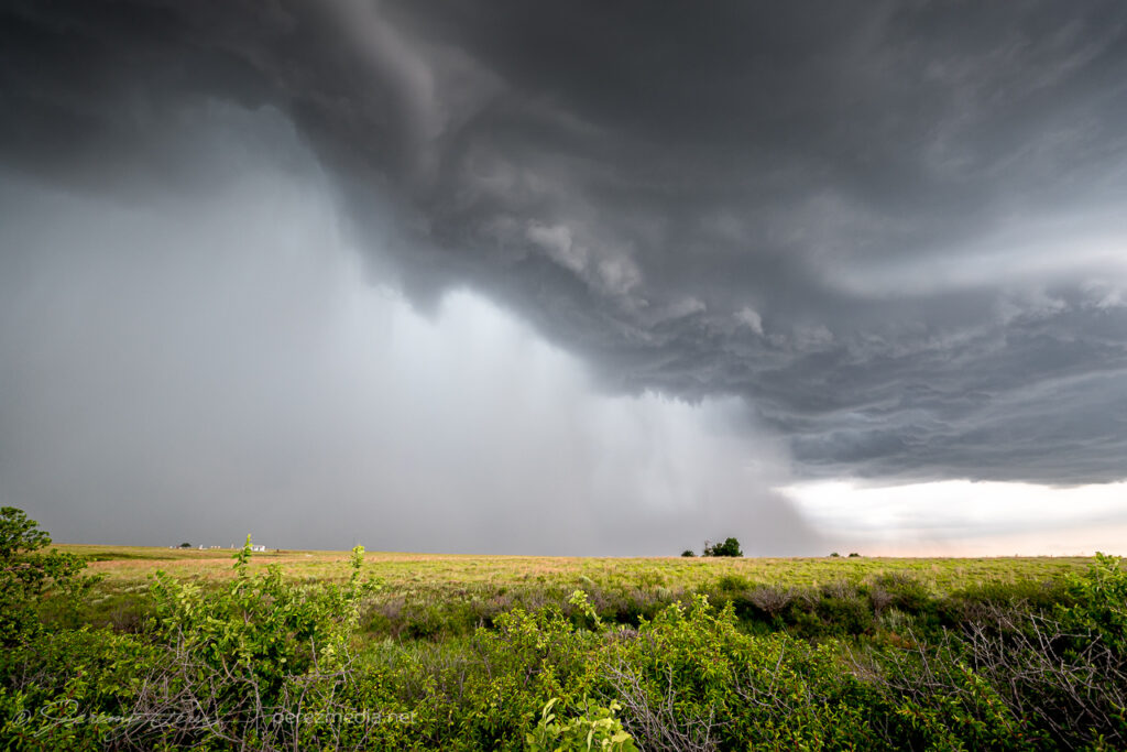
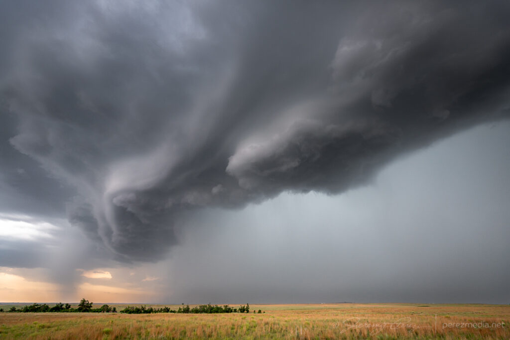
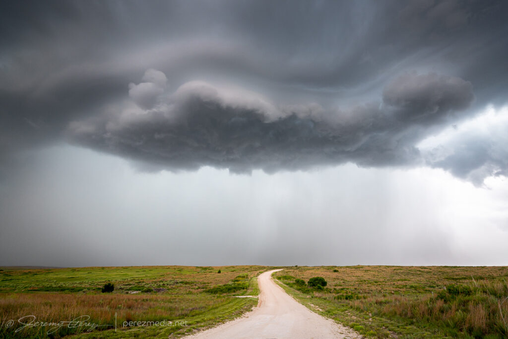
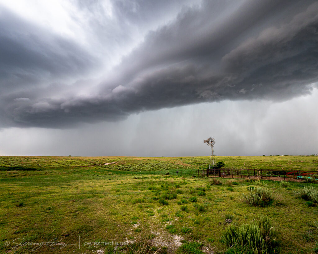
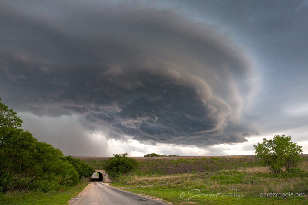
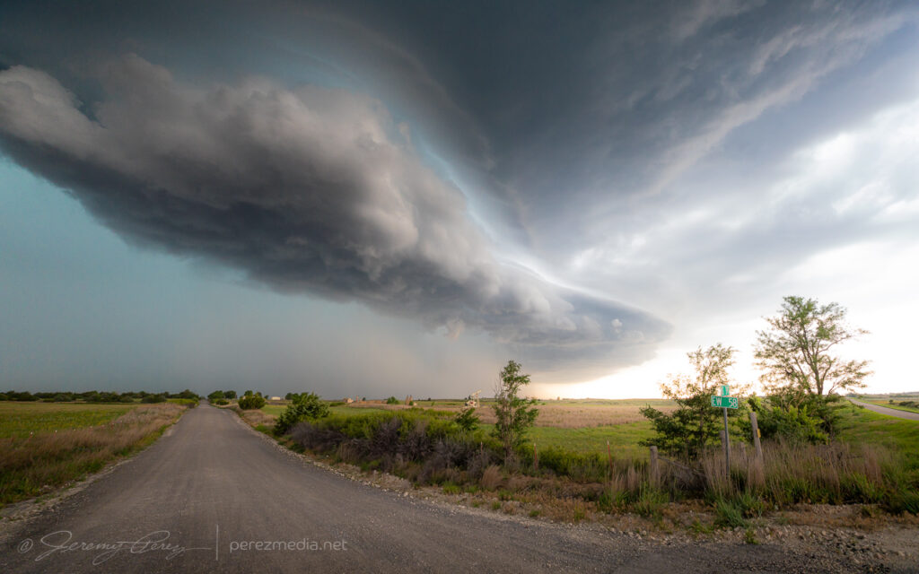
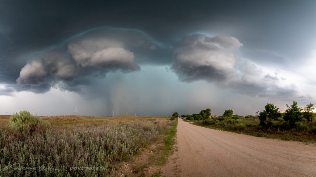
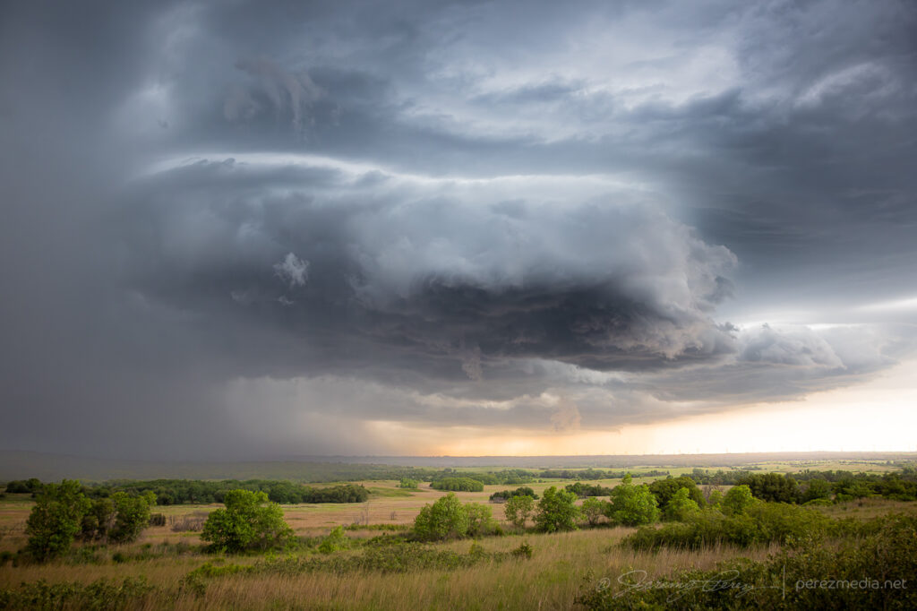
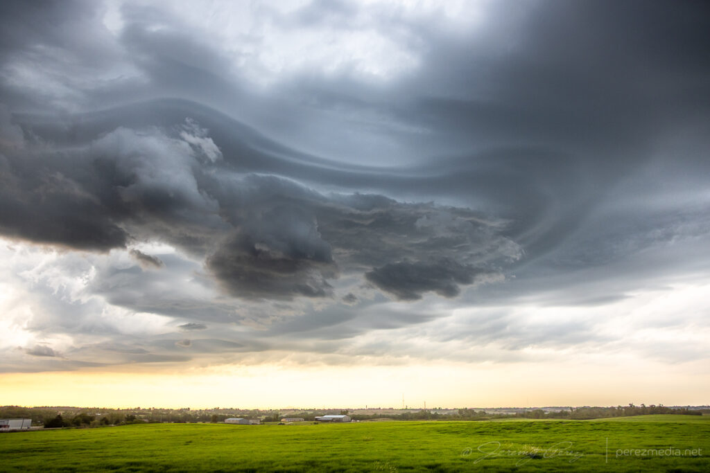
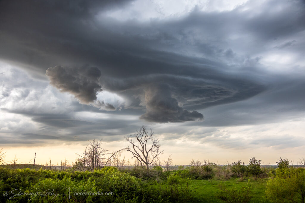
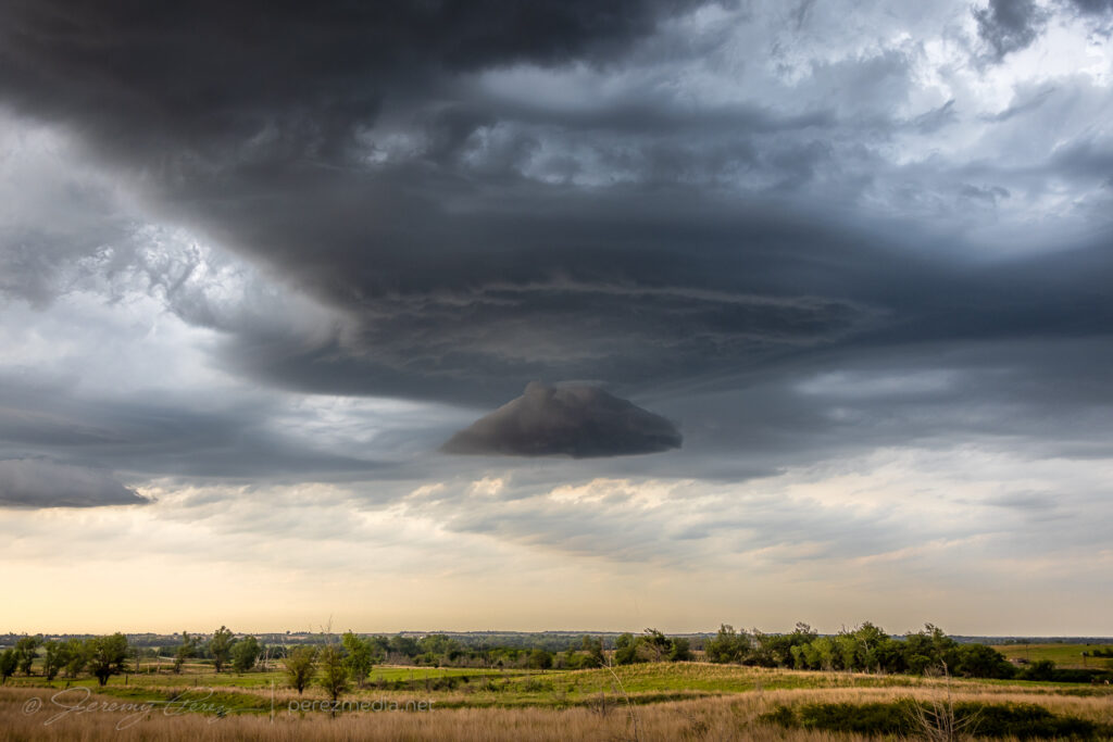
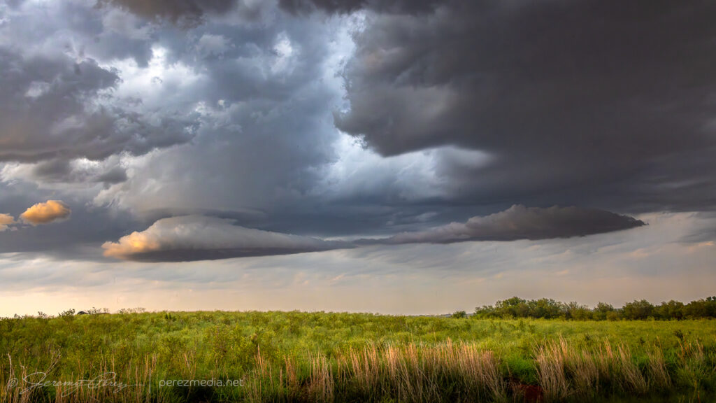
    Although cells were individually migrating southward, a cluster out of the Panhandle was pushing eastward strongly enough to load the north side of all the convection with some excellent cloudscapes. So I surfed those for the rest of the day, starting at Higgins, Texas and moving up near Woodward, Oklahoma later.

    Northwest of Harmon, Oklahoma — 0013Z.
    Rotating cogs on the lead edge of a surging gust front northwest of Harmon — 0017Z.
    Levitating structure — 0113Z.

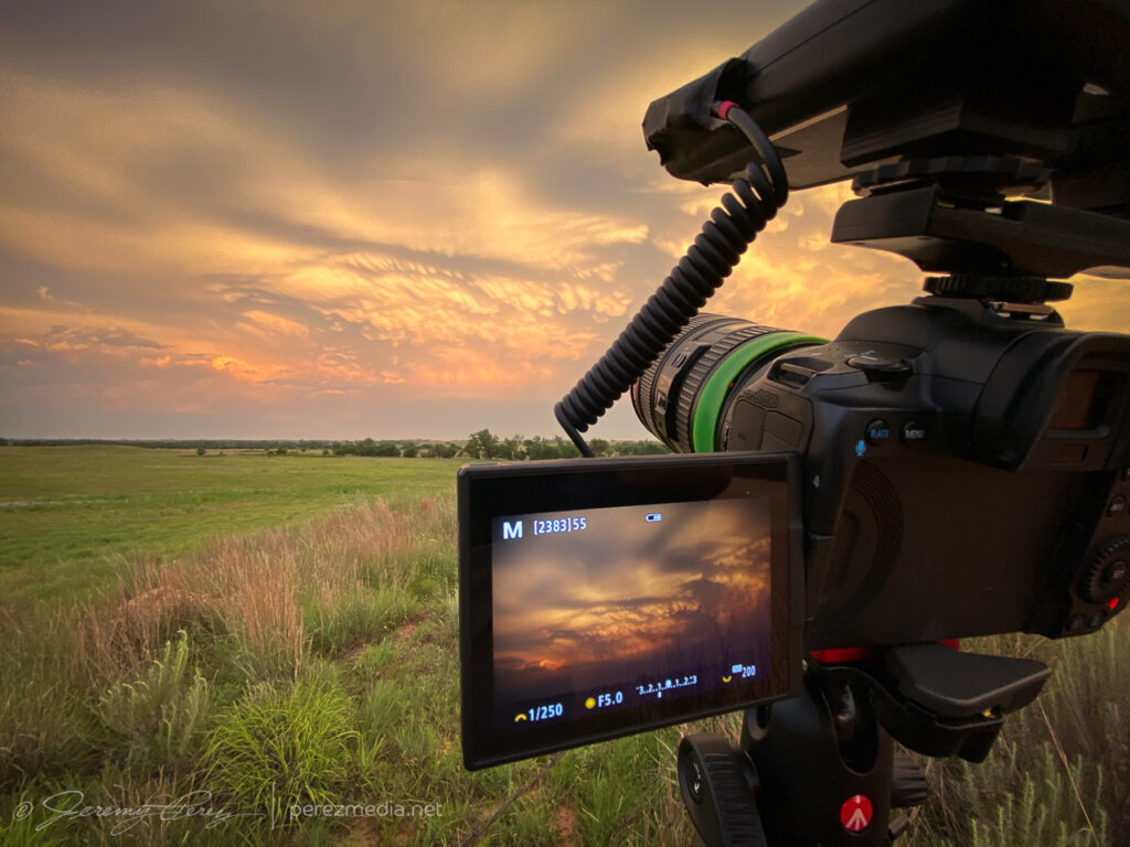
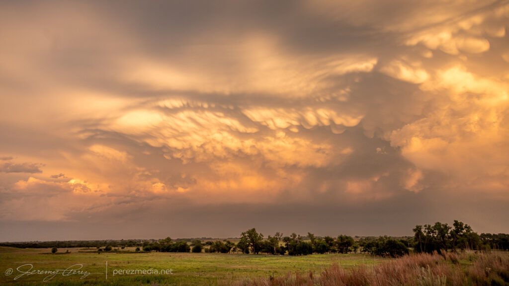
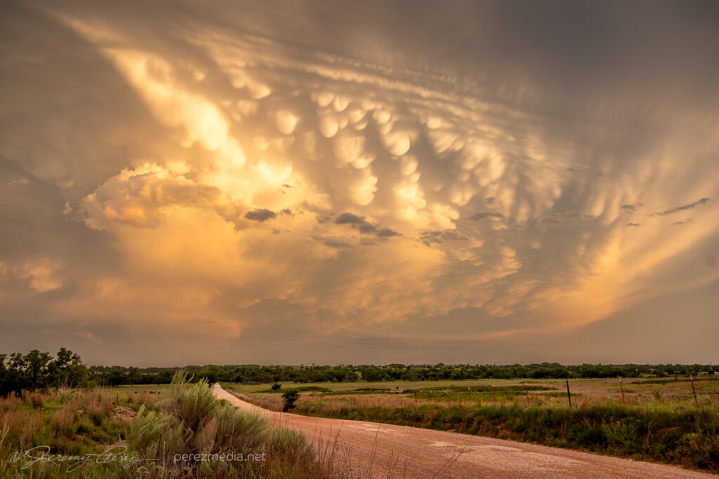
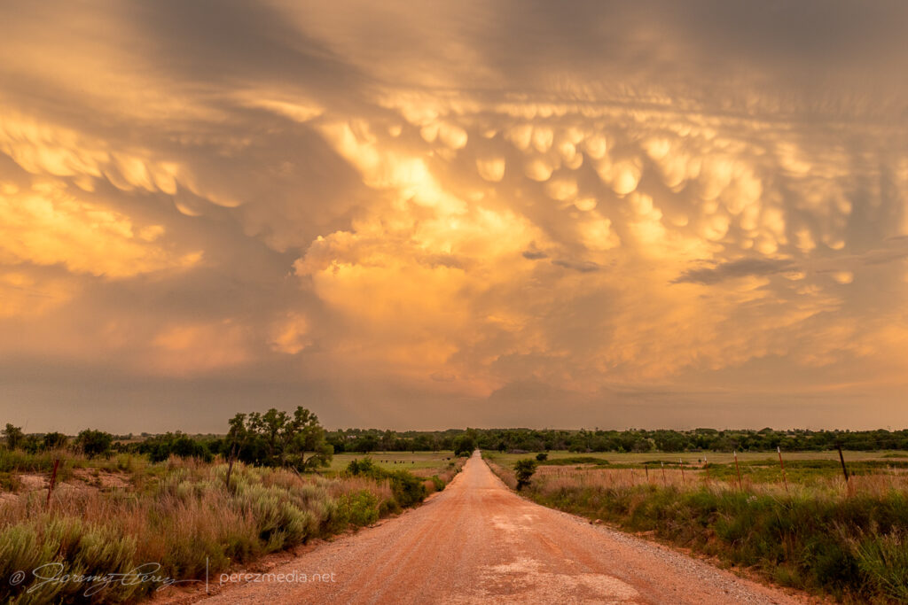
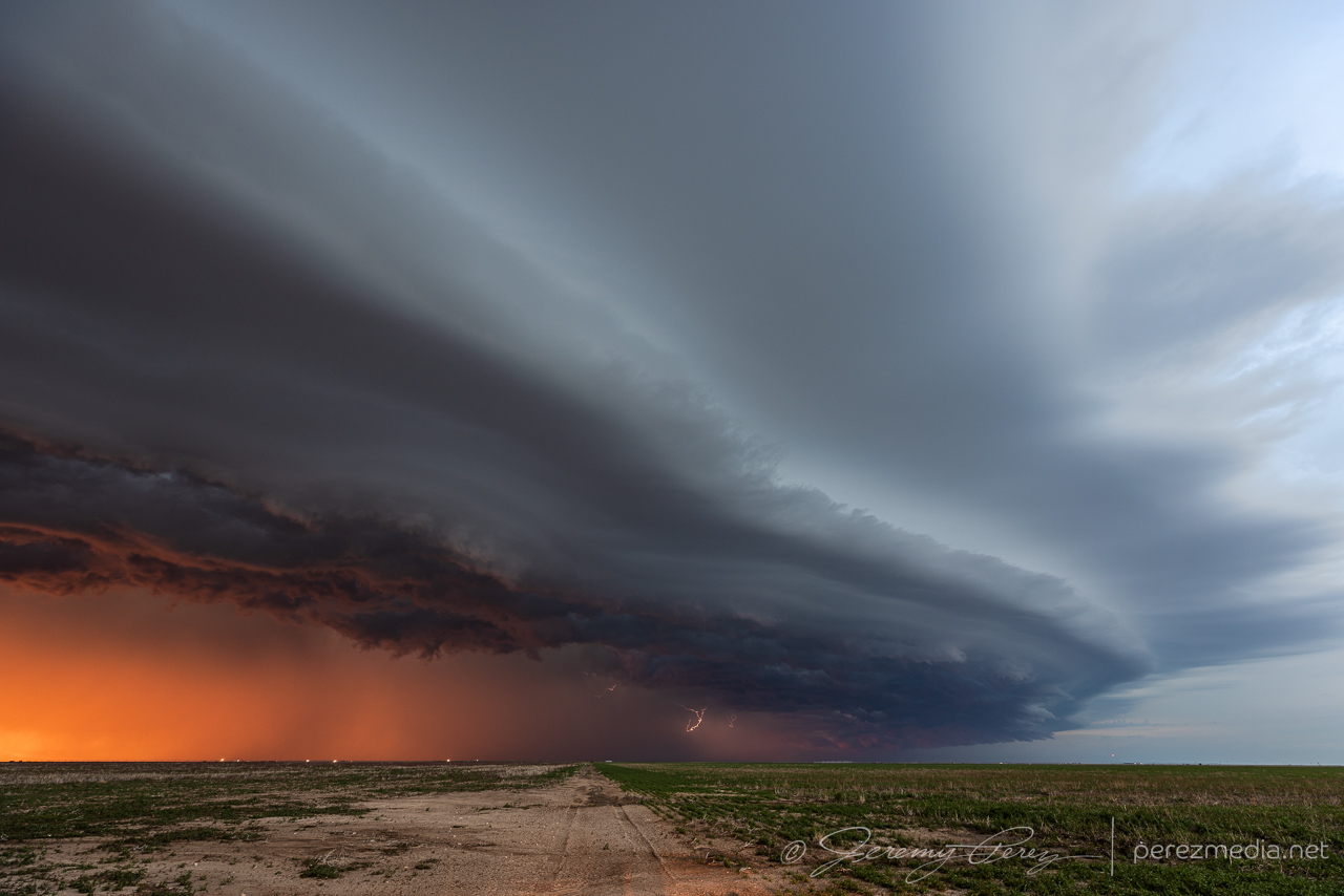
    The sunset mammatus display at the end of the day was fantastic.

  • 2 June 2024 | Colorado/Nebraska/Kansas | Gust Fronts

    2 June 2024 | Colorado/Nebraska/Kansas | Gust Fronts

    I started the day after boondocking near Hamlet, Nebraska. It was a pretty good spot along a decommissioned piece of old highway with high grass providing some cover.

    I made my way west into Colorado with thoughts of convection along an early morning outflow boundary.

    Wildflowers near Julesburg, Colorado on the way to firing storms — 2033Z.

    Shear seemed better further north where storms were forming in the Nebraska Panhandle. So I hustled up to the strongest one near Sidney. It picked up a tornado warning before I got there. By the time I was on it, it was gusting out.

    And that was the story from there. Gusty, linear storm modes as everything in Colorado and Nebraska merged into a line of storms that led me on a tour southward through western Kansas into the night.

    Debris clouds masking the sky between Syracuse and Johnson City as the line of storms lights up western Kansas — 0510Z.
  • 30 May 2023 | Elkhart, Kansas to Hough, Oklahoma | Gust Fronts

    30 May 2023 | Elkhart, Kansas to Hough, Oklahoma | Gust Fronts

    Another shelf cloud chase day seemed to be on tap. We set up in far southwest Kansas, north of Elkhart, to watch convection moving eastward out of Colorado. There was a lot of dust getting kicked up with brief gustnadoes here and there. We were eventually treated to a beautiful sunset shelf cloud display. I just couldn’t manage any good CG lightning strikes.

    Storms building northwest of Elkhart, Kansas. 0055Z
    Part of the line strengthening to our north. 0059Z
    Shelf cloud bulking up as outflows merge. 0117Z
    Panorama of incoming gust front. 0123Z
    Sunset lighting up the whale’s mouth. 0203Z

    As the gust front chased us, we drifted southeast into the Oklahoma Panhandle as night fell and all the tantalizing silhouettes started to appear along the edge of the gust front lines to our north and west. Various gustnadoes paraded eastward and northward as the line of storms crept along, while daggers of scud kept the cameras running just in case.

    Night falling as outflow winds kick up dust to our north. 0234Z
    Shelves, whale’s mouths, dust ups and grain silos as we surfed the gust front. 0321Z
    0325Z

    Eventually, we found a spot to park next to a cemetery and let the line pass by. I tried some lightning shots through the window, repositioning the car to aim at likely spots as rain and mist worked to blast in. The day met expectations and was a pretty chilled out chase overall.

    One of the few CGs that landed on frame where rain wasn’t shooting in the window. 0425Z
    Stack of 15 exposures as the line moves off to the southeast. 0434Z-0446Z