Tag: South Dakota

  • 9 May 2011 | South Dakota | Storm Chase

    9 May 2011 | South Dakota | Storm Chase

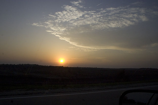
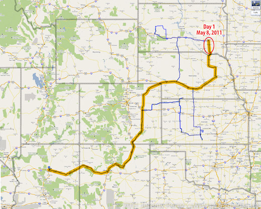
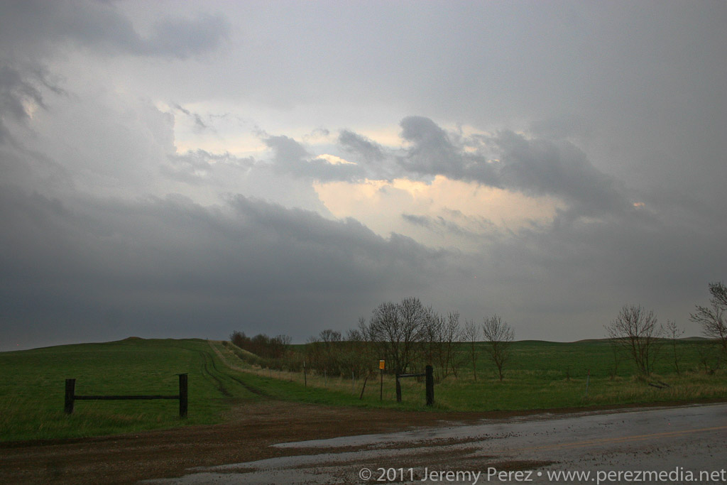
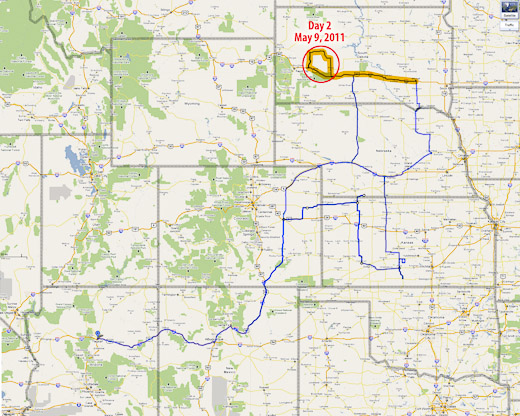
    My second chase day started with the sun’s warm rays piercing broken clouds above a nearby farm. I slept a little later than I wanted, but had plenty of time jump on I-90 and head west toward Murdo where I waited for signs of initiation along points further west. This setup was difficult to forecast. The best moisture/instability/shear was wrapping north and northeast of the surface low, north of the warm front. I had a hard time picking the best spot for storm initiation and was really hoping visual cues and satellite would point me toward development with enough time to adjust and intercept.

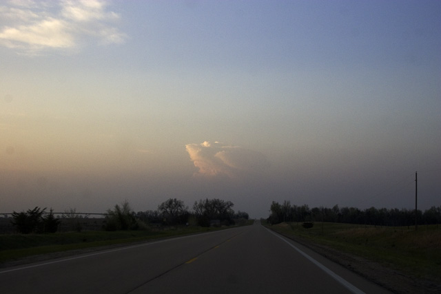
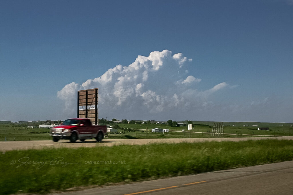
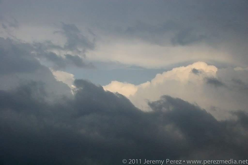
    I wasn’t the only one in Murdo watching the sky and refreshing satellite views and SPC observations. The Dominator crew and about a hundred other chasers were parked in various hotel and gas station parking lots hanging out, scarfing convenience store food, throwing frisbees, scrubbing windshields, jaywalking, and checking out each other’s chase vehicles. I was concerned that the best, first storm would collect an instant caravan and I wanted to get out before that happened. Turns out this wouldn’t be the problem. As I headed further west, the sky grew heavy with fast moving stratocumulus. It was frustrating to realize that I was going to have a terrible time visually spotting points of storm initiation.

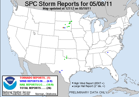
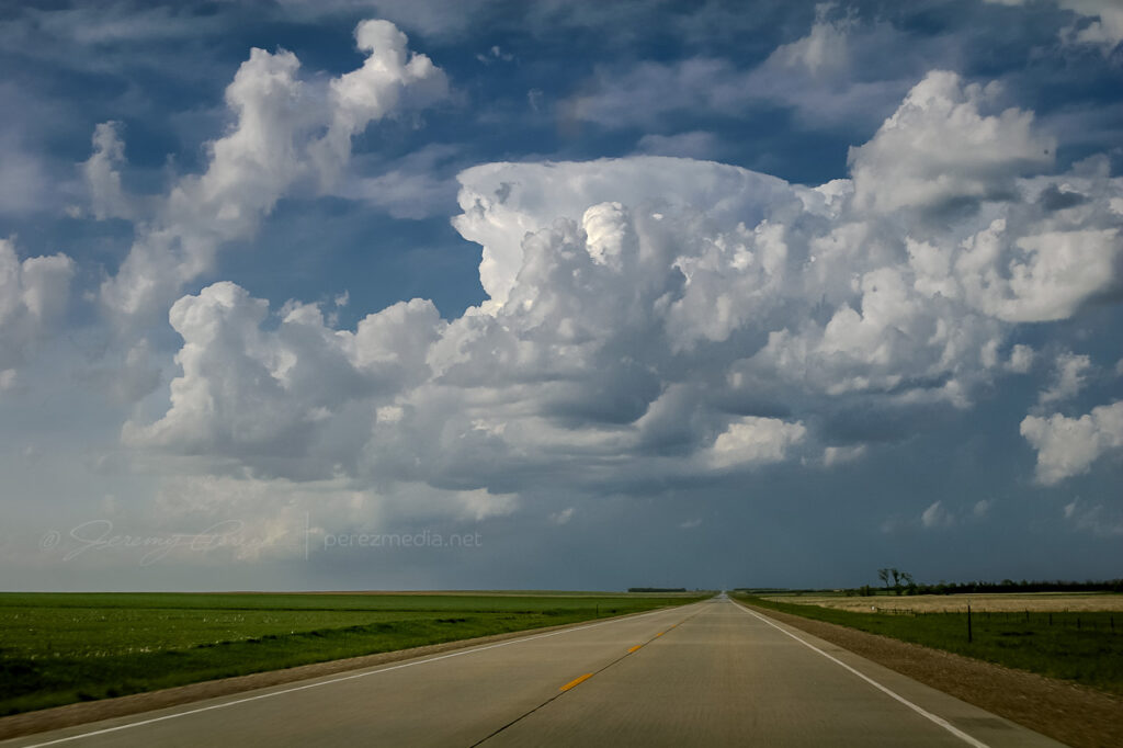
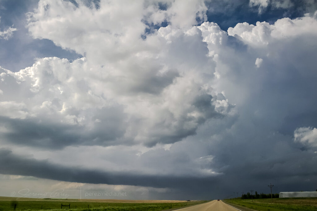
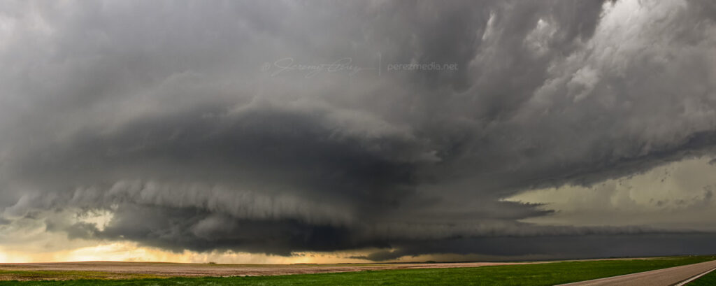
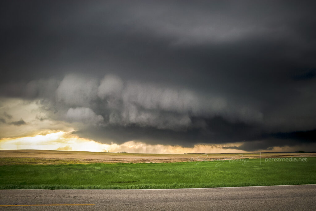
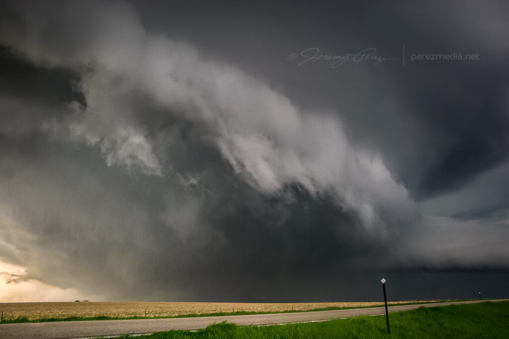
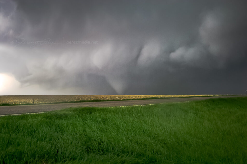
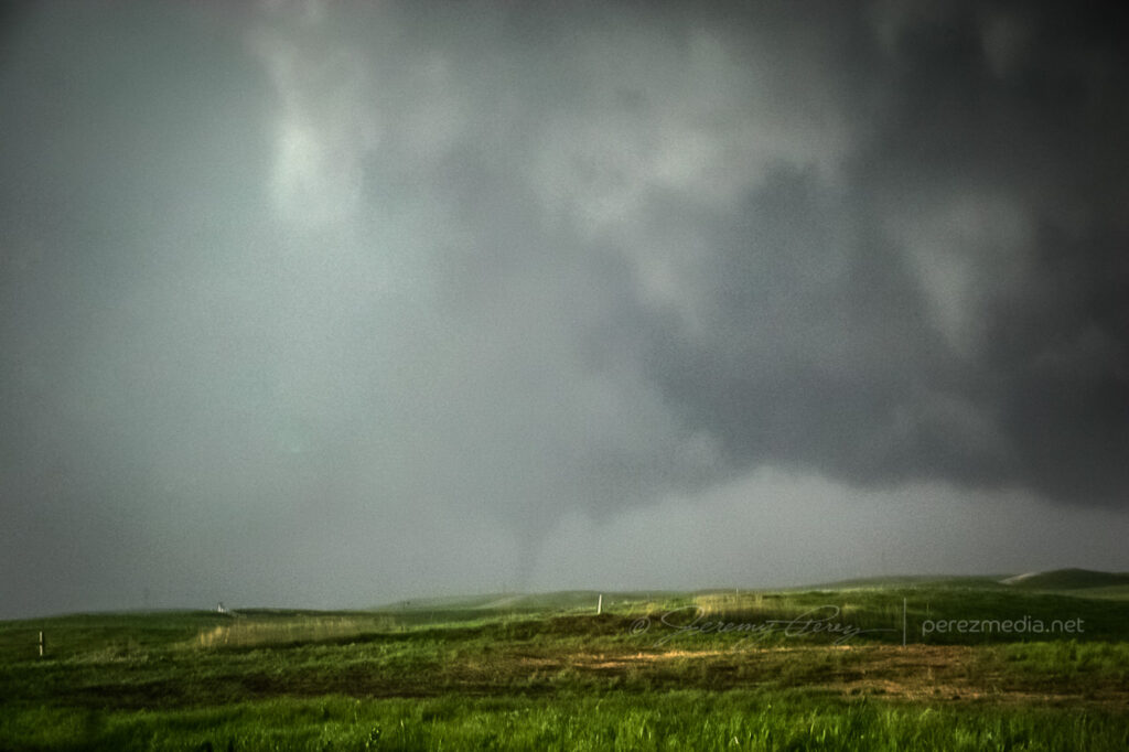
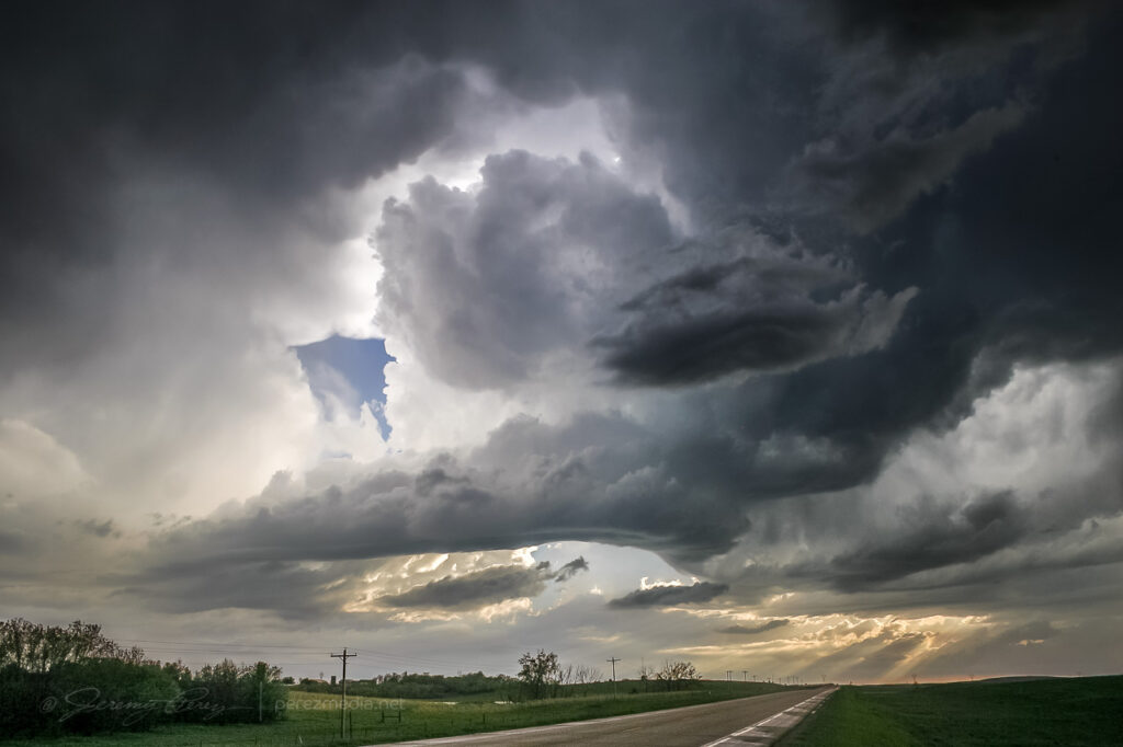
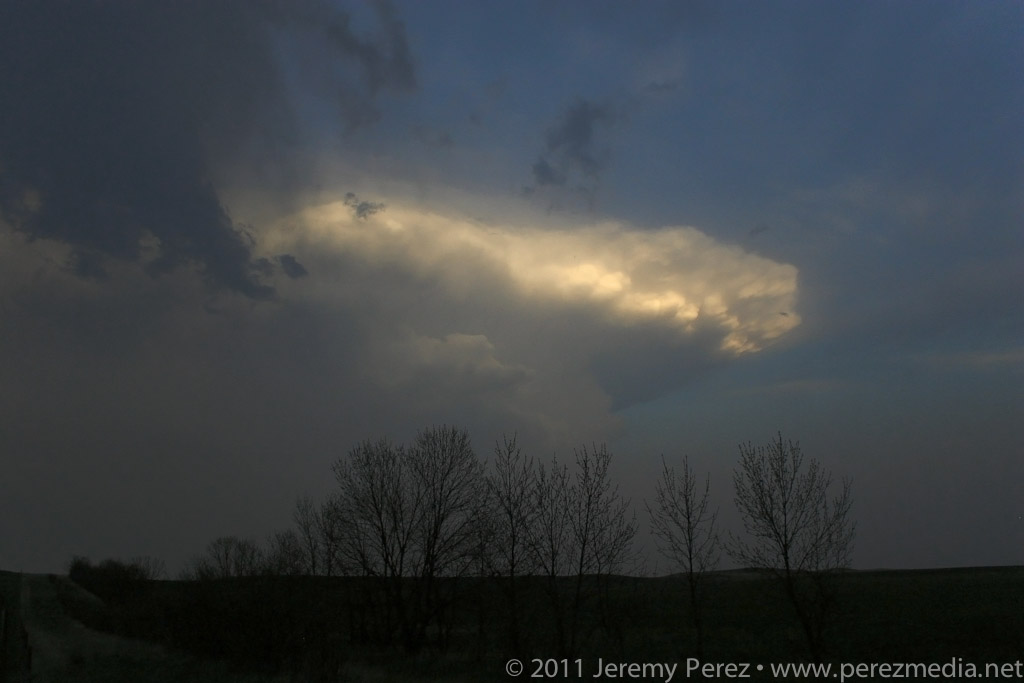
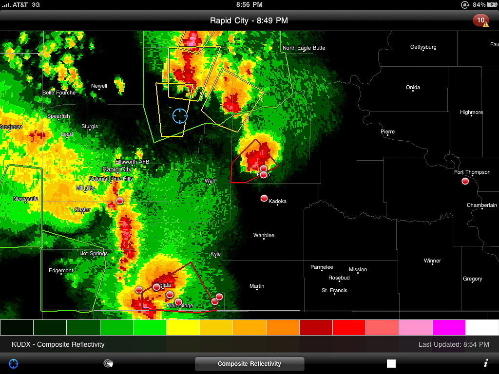
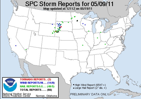
    Eventually, northbound radar returns started to pop up along I-90, east of Rapid City as well as a nice, tornado-warned cell far to the south near Crawford Nebraska. I started to drive south, thinking I could intercept the Nebraska storm somewhere near Wounded Knee. But then I second guessed myself and figured that I’d probably make this long drive through the badlands with difficult terrain and bad road options and the storm would be past its prime by the time I intercepted. So I headed back north of I-90 and traded one set of bad road options for another. I was positioned right at the southern end of several developing radar returns and finally caught a glimpse of one of the new towers to my east. To my north: wet gravel roads. I thought, ok, let’s try these roads out and see if I can get ahead of the development and intercept around from the northwest.

    Developing radar returns just before I began my long drive north to try and intercept the pick of the litter. (My location is shown by the blue target.)
    A sunlit anvil blossoms to the east of my position.

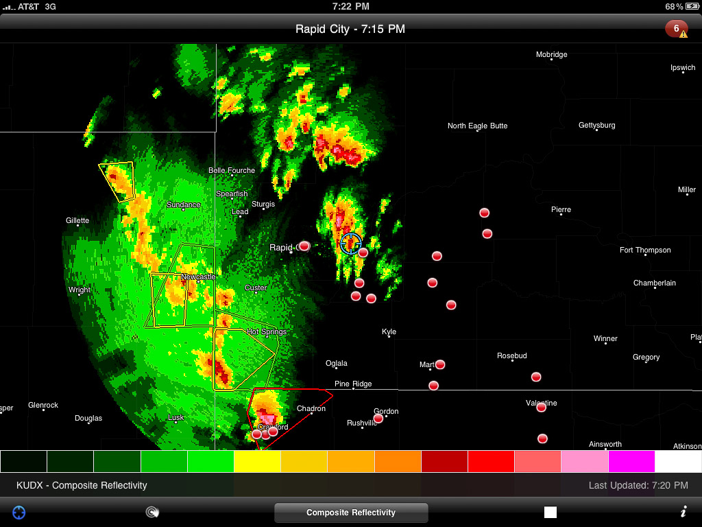
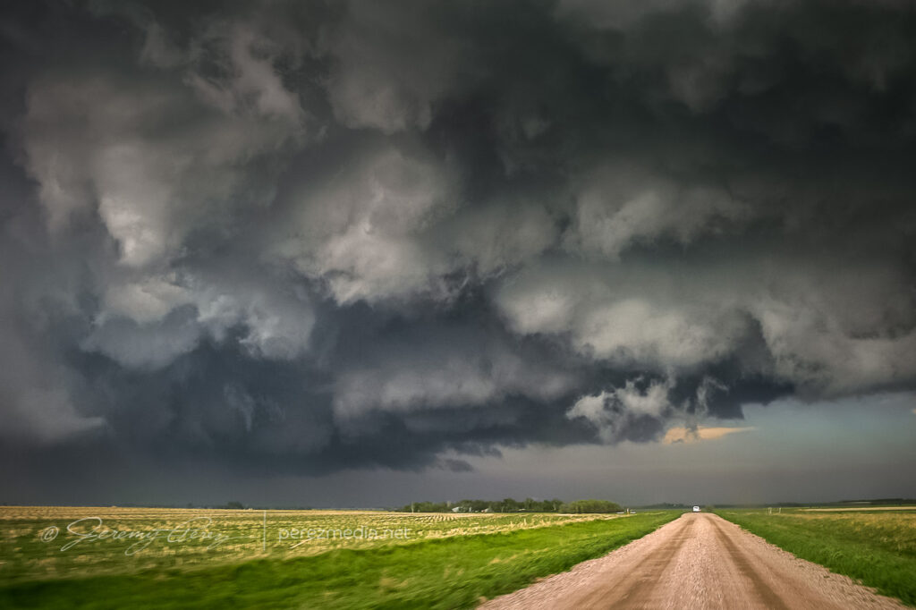
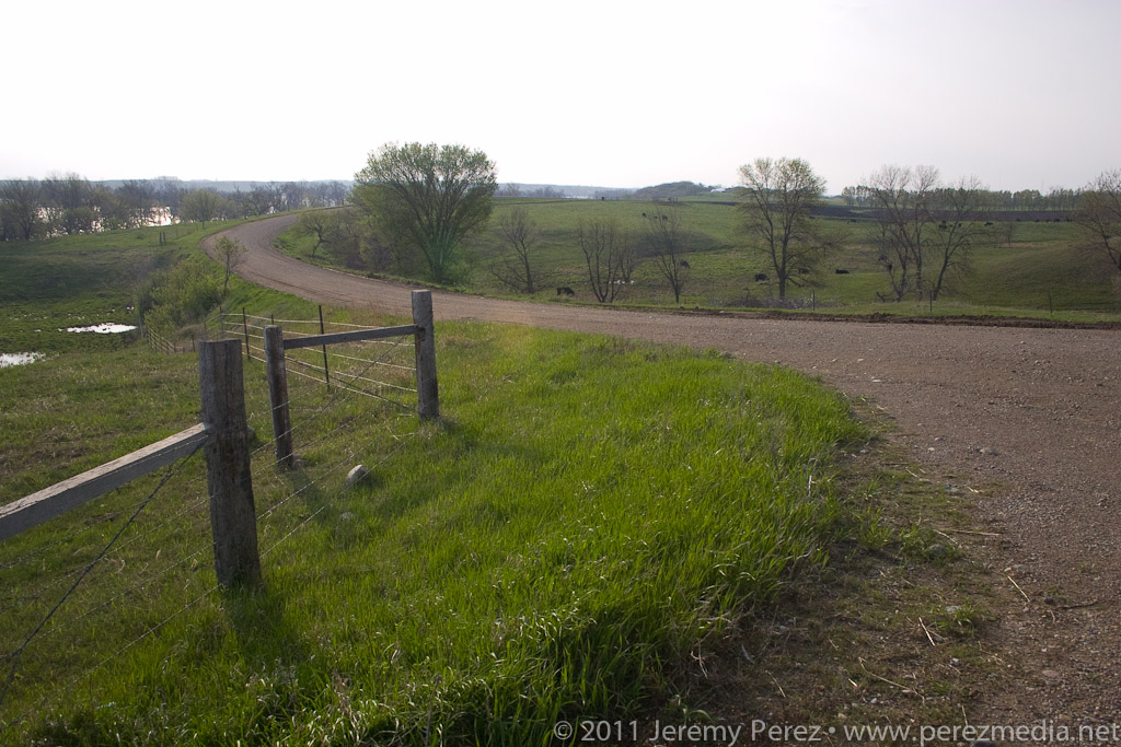
    My Honda Civic and the wet South Dakota dirt roads played nicely with each other. However, what with the Belle Fourche River Valley, majorly broken road grid, and wet dirt-gravel surface, I was no match for the storm motions. It didn’t take long to realize that I wasn’t going to intercept any of the storms I thought I would. So I plotted a path to hit Route 34, then Route 73 and work my way back toward I-90 and see if any new development would head my way.

    Stunning overlook of the Belle Fourche River Valley.

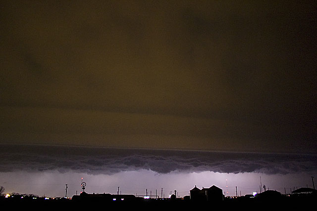
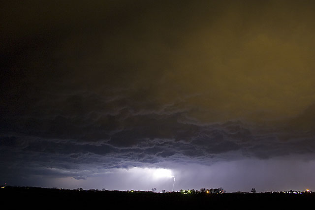
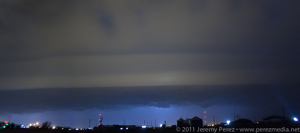
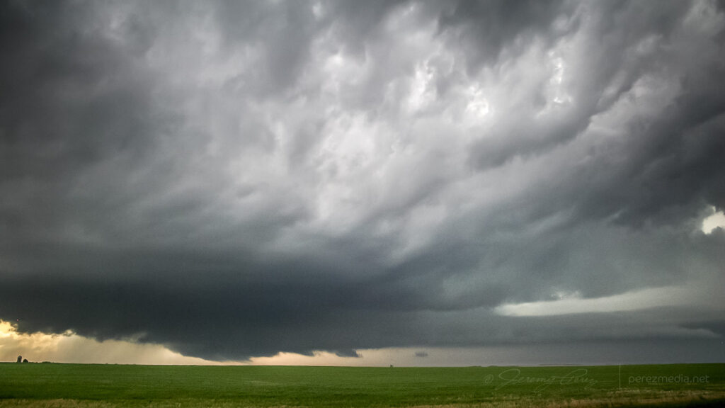
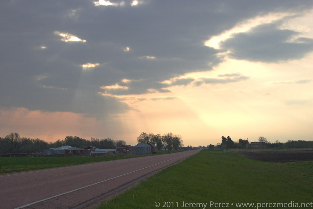
    It took forever to get back to a paved road, and night had fallen by the time I hit asphalt again. As I made my way back east, then south, severe and tornado-warned storms lit up the sky to the north and east. I was frustrated that I had failed so miserably at positioning myself, but the non-stop lightning show was a beautiful parting gift as I drifted along the lonely South Dakota highways.

    Severe and tornado warned cells avoid my chosen route.

    I parked for a few hours of sleep near Kadoka, SD, where the drizzling remains of the tornado-producing Crawford storm finally passed overhead and drifted off into the flickering night.

    Lessons Learned:

    • If dirt roads are the only way to intercept a target already to my north, and there is a good possibility of a southern target, opt for the southern target.
    • Committing to a long, unpaved route in an area that is not fully gridded is probably a one-shot deal.
    • The Honda is compatible with at least some of the wet, unpaved roads in southwest South Dakota–although copiously wet would probably be a different story.
    • Setups where the target area is north of the surface low are a serious weakness for me to anticipate development.
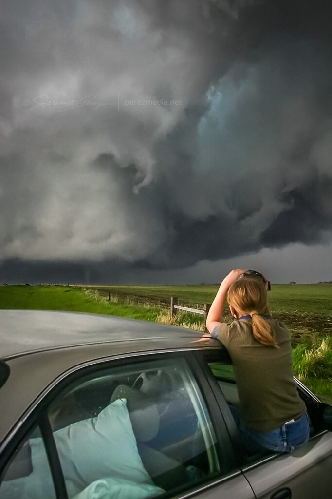
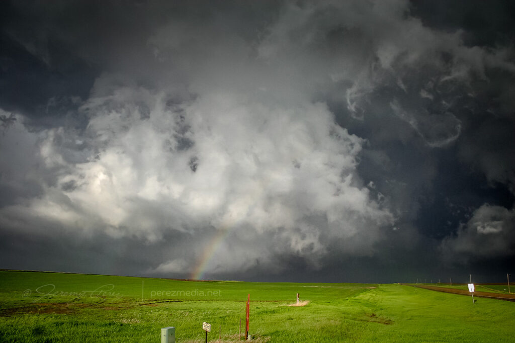
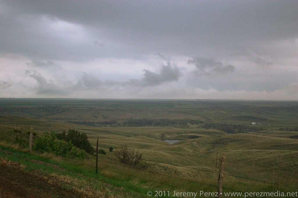
    • South Dakota is a beautiful place to chase.
  • 8 May 2011 | Mitchell, South Dakota | Storm Chase

    8 May 2011 | Mitchell, South Dakota | Storm Chase

    I got on the road Saturday afternoon, left Flagstaff, drove most of the night, and made it to eastern Nebraska by Sunday late afternoon.

    I’ll try to do a more detailed summary later with more photos. (I’m extremely worn out.)

    After checking models and spc discussion each time I stopped to fuel up, I decided I would head to the warm front. Unfortunately, eastern Nebraska turned out to be a wasteland of uncooperative cloud streets. The cap wasn’t budging there at all. I figured I was going to have a complete bust on my first day out. But then inhibition started to part in South Dakota, a few storms started to blossom. Most were too far to consider, but a small, fresh one was within reach, so I raced north. As I got closer, I realized the cap had clamped down and nothing was left but an orphan anvil.

    I kept going north, just in case, and was suprised by a view of a new tower going up on the other side of the Missouri river, half-lit by the coppery light of the setting sun.

    Satellite view showing my target storm as a bright blip in the far south-southeast corner of South Dakota. (Note the only tornado-producing cell in the south-central part of the state–too far out of reach.)

    The new tower was farther north than I thought, and was moving north at about 25 knots. I decided not to keep chasing it in the dark, so I broke off, satisfied to see it sputter with lightning as it drifted away. At least I got a distant storm and some lightning for day 1.

    I fueled up again and did some supply shopping. Afterward, as I drove to a section of gravel roads south of Mitchell, SD to park for the night, I was overwhelmed by nonstop lightning behind me. I pulled over to figure out where it was coming from. Sprawled out to my west was a huge, sculpted shelf cloud, gaping with rain, wind and lightning–and it was visibly expanding in my direction. I didn’t want to get the car golf-balled, so I raced down the dirt roads, going after a good north-south paved road. Along the way, I made some brief stops to photograph this majestic thing.

    At one stop alongside a small lake, the sound of katydids, frogs and other nocturnal creatures blended in with the non-stop thunder of the approaching storm. It was wonderful. As I continued south and east, I realized the entire gust front was going to chase me into Missouri if I let it. So I hunkered down in a farm field access and embraced the drenching rain and unceasing lightning. It was an amazing way to end the day.

    Radar showing my position with the approaching gust front.

    Lessons Learned

    • Argh. Just play closer to the triple point–don’t get creative with points further out along the warm front.
    • The cap likes to be stronger further south.
    • A shorter focal length lens would be nice for capturing massive gust fronts and shelf clouds.
    • After night fall, shut off the car, get outside and enjoy the sights and sounds of lightning, thunder, and wildlife.
  • 22 May 2010 | Bowdle, South Dakota | My First Tornado

    22 May 2010 | Bowdle, South Dakota | My First Tornado

    May 22nd, 2010, was the second day of my first storm chase on the plains. When my daughter and I checked out of our hotel in Chadron Saturday morning, I had no idea what an incredible day this would be. Forecast models showed the triple point positioned across north central South Dakota by afternoon with ample moisture, huge CAPE, and shear favorable for tornadic supercells. The cap was sturdy but there was hope that it would erode enough to allow storms to reach their potential.

    Our first destination was Pierre, SD. When we arrived, I tried to find a book store where I could pick up a DeLorme South Dakota Atlas, but we were foiled. The manager at one book store said “we really don’t have that many roads in South Dakota”…heheh. Cumulus were beginning to fire to the north-northwest and we couldn’t waste any more time tracking one down. So we had to rely on our single-page Rand McNally map which gives no clues about local and farm roads.

    As we headed north on US-83 at 2140Z, the cumulus field was starting to pull itself together and definitely looked like it was going to beat the cap.

    Cumulus congestus from US-83 — 2140Z

    It was exciting to watch it grow and to realize that we were going to be in good position to intercept if it did explode. And it did! By 2215Z, it was pushing up a firm anvil, and by 2235, it was straight ahead, sporting a robust flanking line.

    Features under the base began to lower and take shape as we approached the junction with SD-20 where we headed east to gain more ground on the storm.

    Updraft straight ahead with scuddy lowering/possible SPC-logged EF-0 tornado — 2240Z

    Thirteen miles to the east, we turned back north on SD-47 and by 2300Z, we were watching a foaming wall cloud being fed by a well-defined beaver tail.

    Rain free base and beaver tail from SD-47 — 2300Z

    It’s difficult to describe the sense of anticipation as we drew close to the point where it would cross the road. I did not want to set up where we would find ourselves beneath the mesocyclone. But I didn’t want to position so far away that we couldn’t see the churning details that were resolving better and better as the storm approached. We found a field access and backed in so we could quickly pull out and reposition if needed.

    As the meso approached, warm humid wind pushed hard against our backs, urging us to surrender to the storm’s gaping appetite. A golden light seeped beneath the base and RFD began to stir up ragged masses of dust on the far side like a cage going up around the ring. The array of rising, rotating, intertwining structures had me completely awestruck–it made me think of a grand design spiral galaxy in fast motion, the monster at its core threatening to burst to life.

    Panorama of the mature and tornado-ready supercell — 2310Z
    Toothy RFD shelf rapidly approaching — 2311Z

    While the heart of the meso was on track to pass north of us, the growing rim of the toothy RFD shelf looked like it was going to pass too close for my sensibilities, so we dropped further south. As we drove, the south side of the meso began to drop and tighten up–things were getting ready to happen before our eyes. We found another pull out about a half mile further south and watched as rain wrapped under the base, while the RFD gust front arced onward.

    Surging RFD gust front — 2313Z

    As the mist of precipitation cleared, the hulking mass of a wide cone-shaped funnel emerged from the shadows of its wall cloud (2315Z).

    As it slowly moved from left to right, the cone got fatter and then slowly pulled upward, a pale uvula drooping from the singing mouth of the storm.

    Drooping funnel — 2315Z

    At 2317Z, the bulbous funnel formed a ground churning drillbit. Within seconds, it had finished sampling the farmland and began to degrade into a ragged finger that faded into another curtain of mist. By the time the meso crossed the road (2319Z), the condensation funnel was all but invisible.

    Fully condensed tornado and chase tours — 2317Z
    Dissipating funnel crossing SD-47 — 2319Z

    A minute later at 2320Z, the flying curtains of rain parted to reveal the tornado planted firmly to the ground again on the other side of the road.

    Recondensed tornado — 2320Z
    My daughter capturing video of the tornado as it moves off — 2320Z

    As the tornado disappeared into the rain and the storm receded, we got back in the car and headed north on SD-47 to find a leaning power pole and vehicles blocking the road where the tornado crossed. As we prepared to turn around, the TIV rolled by heading south.

    We spent the next 30 minutes looking for another option to get up to US-12 by way of the unpaved grid. As we drove, the extended gust front of the supercell roiled overhead like the unkempt fur of a great hairy beast.

    Receding RFD Gust front — 2340Z

    Since we were behind and south of the storm and the roads were dry, I wasn’t concerned about getting stuck in a precarious position, but I was a little frustrated that we were going to lose it. While we were rumbling down these roads, the tornado—unseen by us—had grown to its wedge phase as it passed Bowdle. At 2351Z, we reached a high point that allowed one last look at our next tornado of the day. The distant, silhouetted elephant trunk appeared for mere seconds before disappearing behind more rain.

    Distant tornado — 2351Z

    We finally reached US-12 and paced eastward. We followed a ragged, brightly lit mass of rain and rotating scud that may have belonged to another inflow region that was forming south of the main cell. We shot photos and video along the way until we were stopped by emergency management vehicles at the junction of US-12 and US-253 at 0022Z.

    Ragged, cold side of the storm after calling off the chase — 0022Z

    After shooting some more photos, we turned around and headed back toward Pierre. On the way back, we were treated to gorgeous views of other cells soaring into the fertile sky.

    Although it would have been nice to have positioned ourselves to see the wedge that this storm produced, we were beside ourselves excited to have seen such an indescribably powerful and stunning event on our second day of chasing. We drove back to Pierre, worn out and hoping for another great chase in Kansas the following day.

    Jeremy Perez
    Flagstaff, Arizona
    perezmedia.net