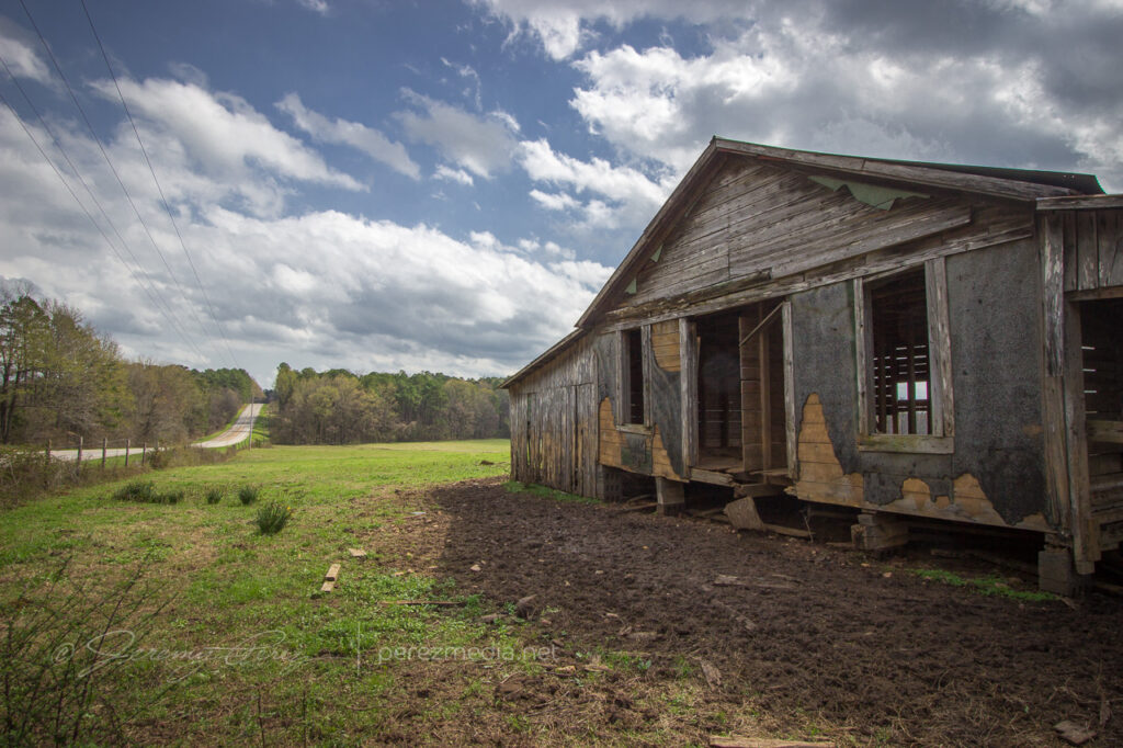
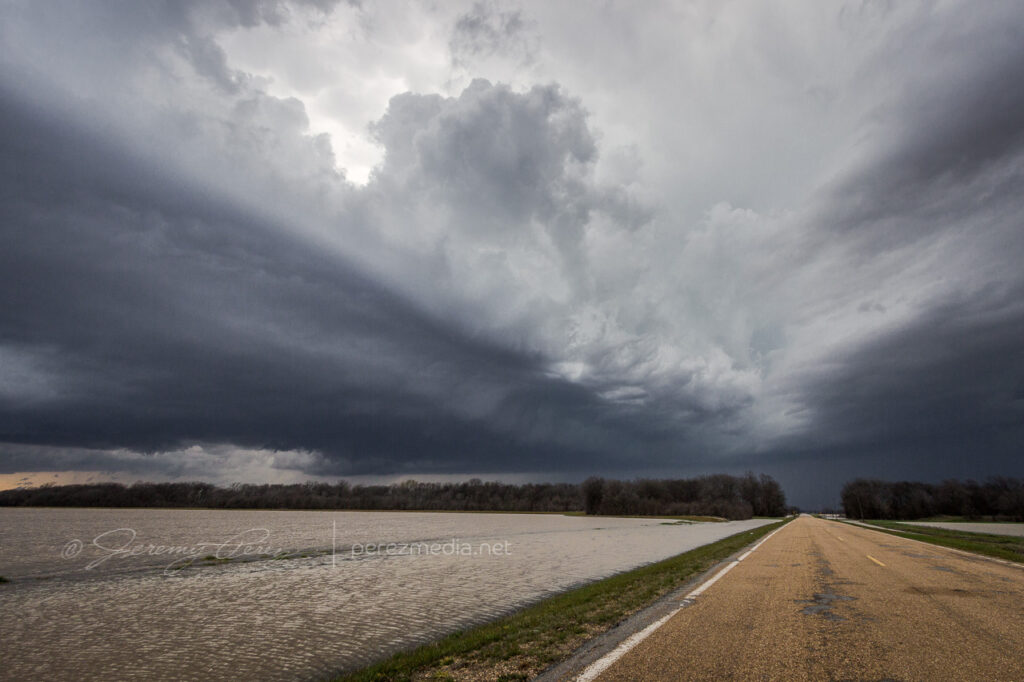
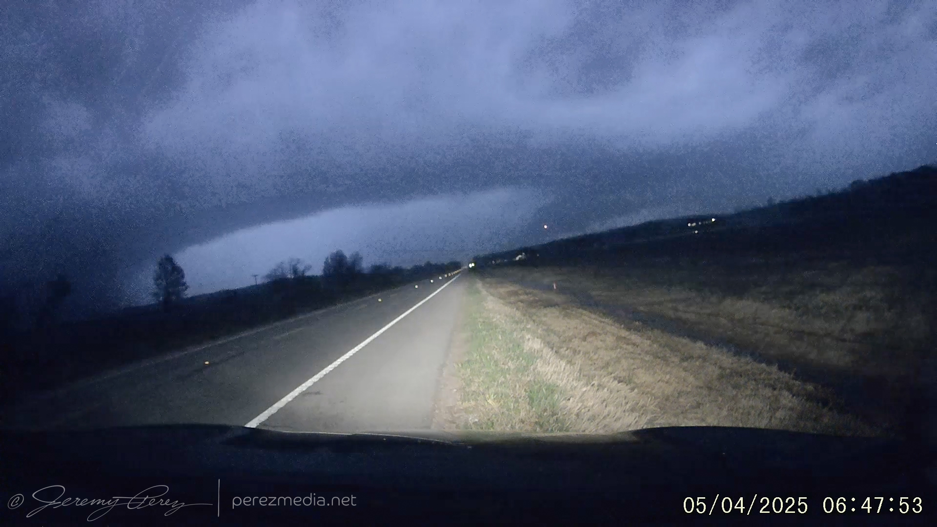
Another difficult chase in Arkansas along the farm land north of the Arkansas River and then into the Mississippi Delta. I spent a lot of time trying to coax a view out of a road by Gravesville. There are spots to be had without trees, but a lot of them are really dumpy when you need one in a pinch. My first cell of the day at least had a base on it, but not really doing much more as we crossed paths.
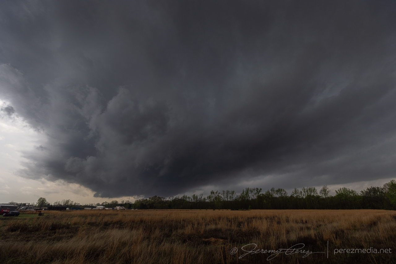
Next up were a pair of tornado warned storms moving up from the southwest. The smaller cell was first to arrive as I tried to find a viewpoint on windy roads with some spots cut off from flooding. This one had lost strength and dropped its tornado warning as it approached with a tiny bit of a tail cloud. As it moved over and off, it picked up a tornado warning again. There was no point trying to reacquire it given the road network and visibility issues further into denser trees.
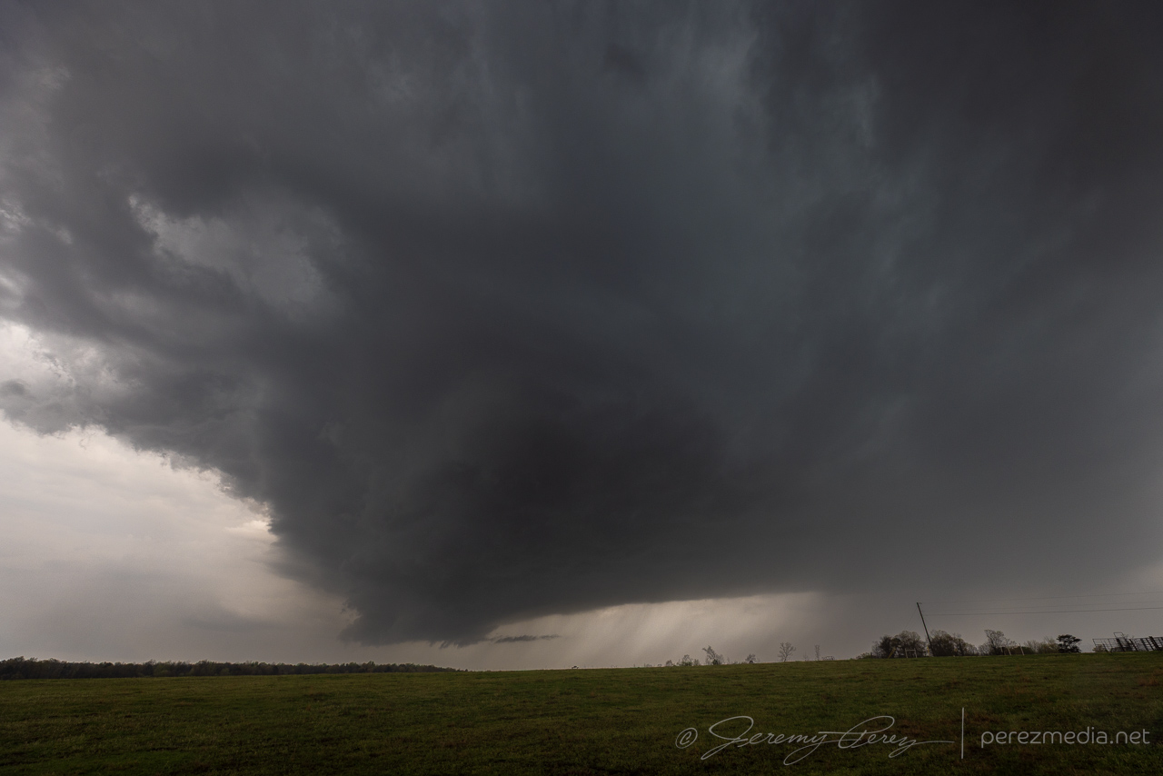
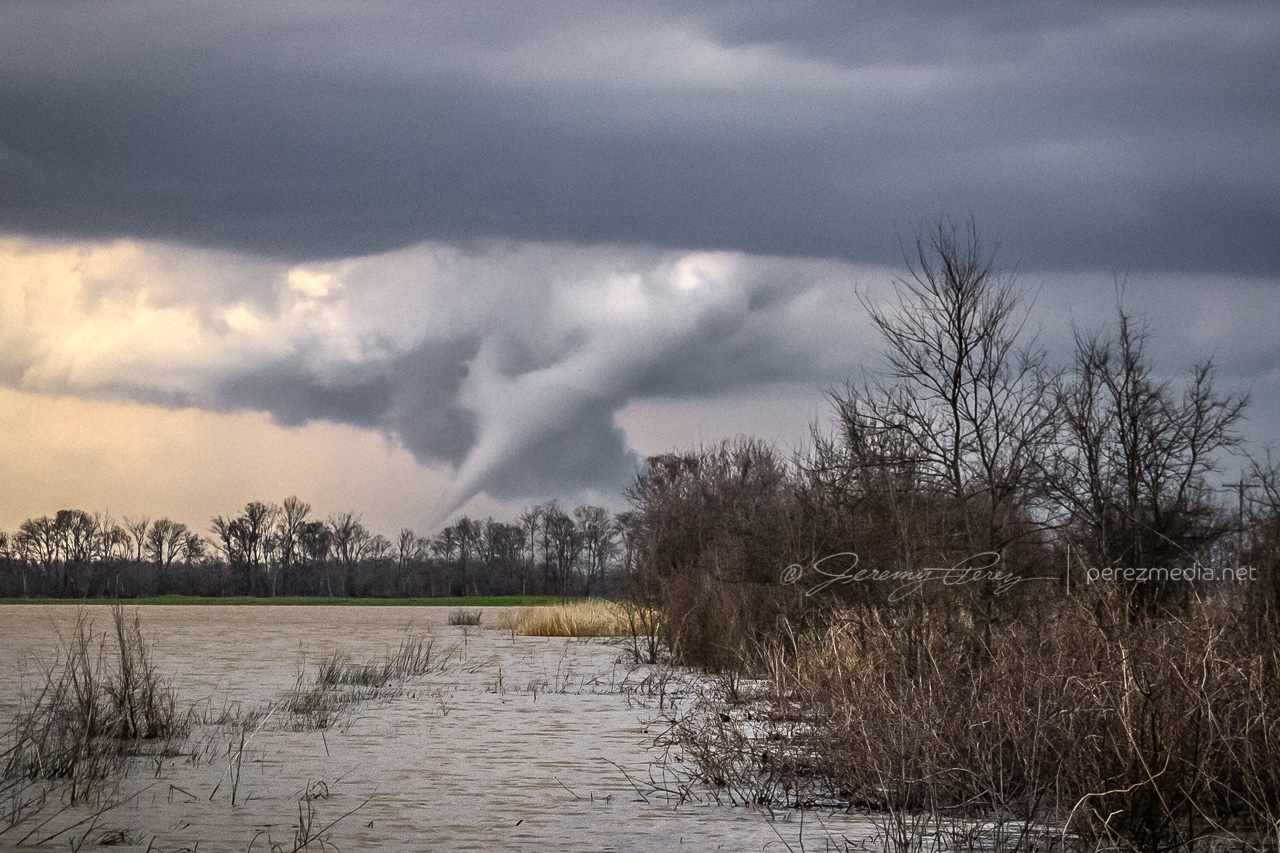
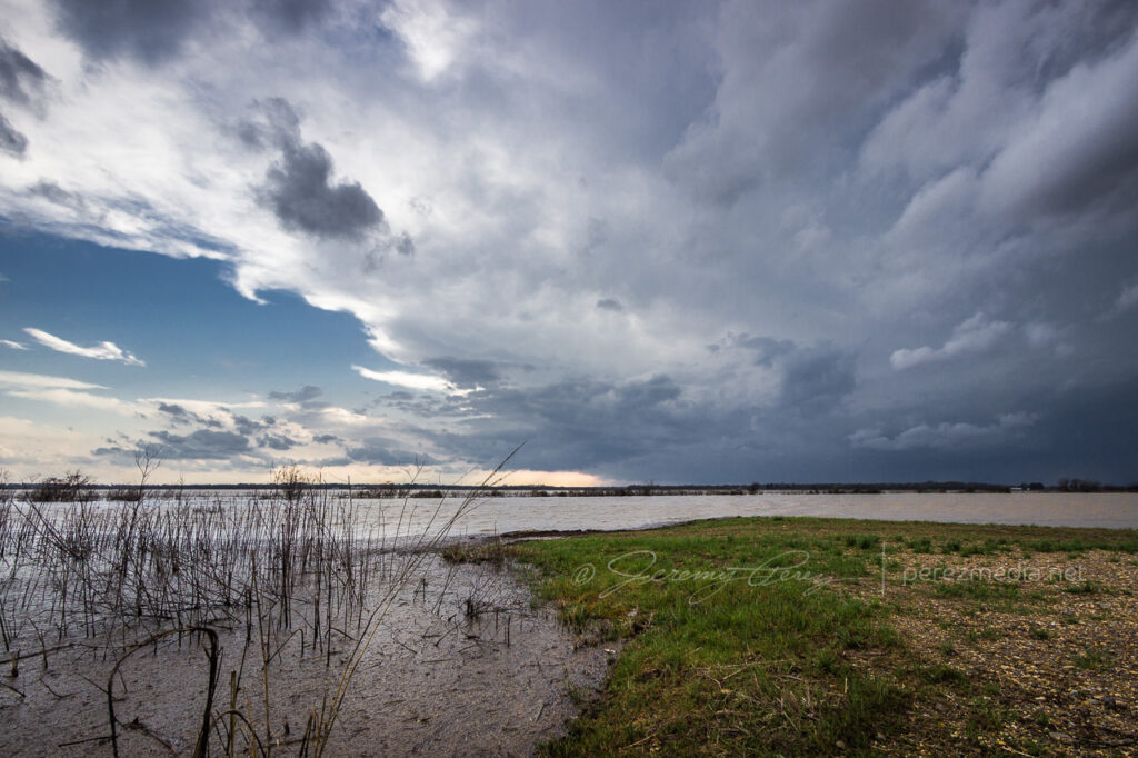
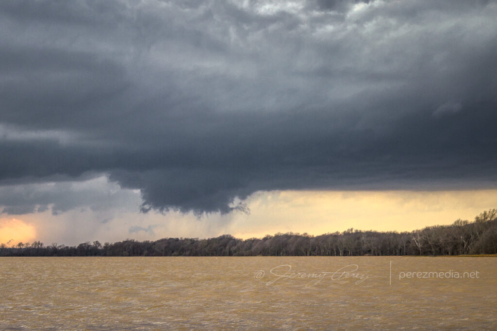
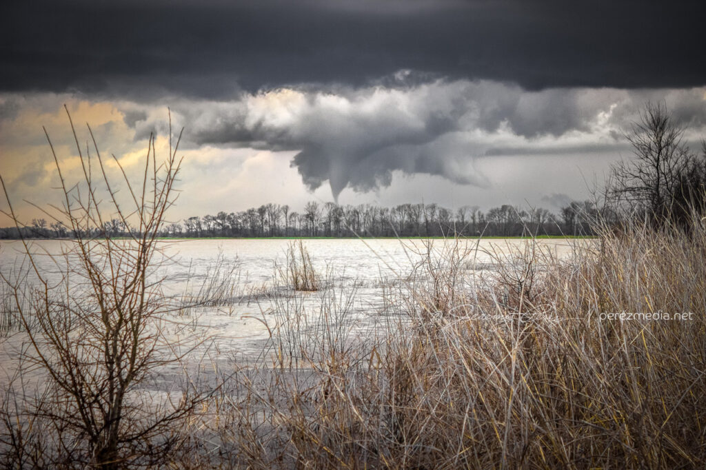
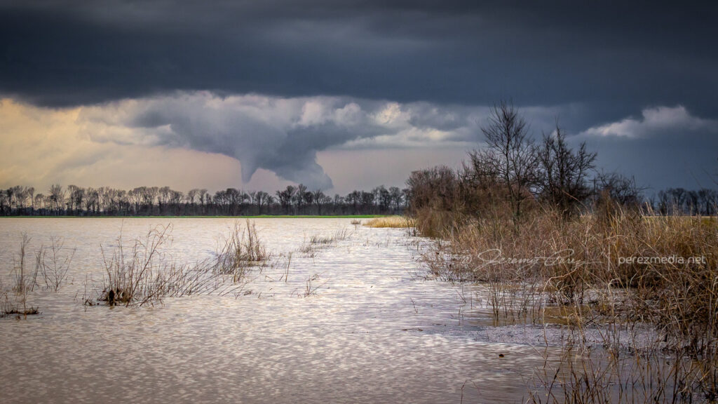
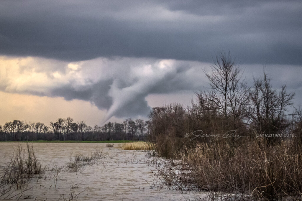
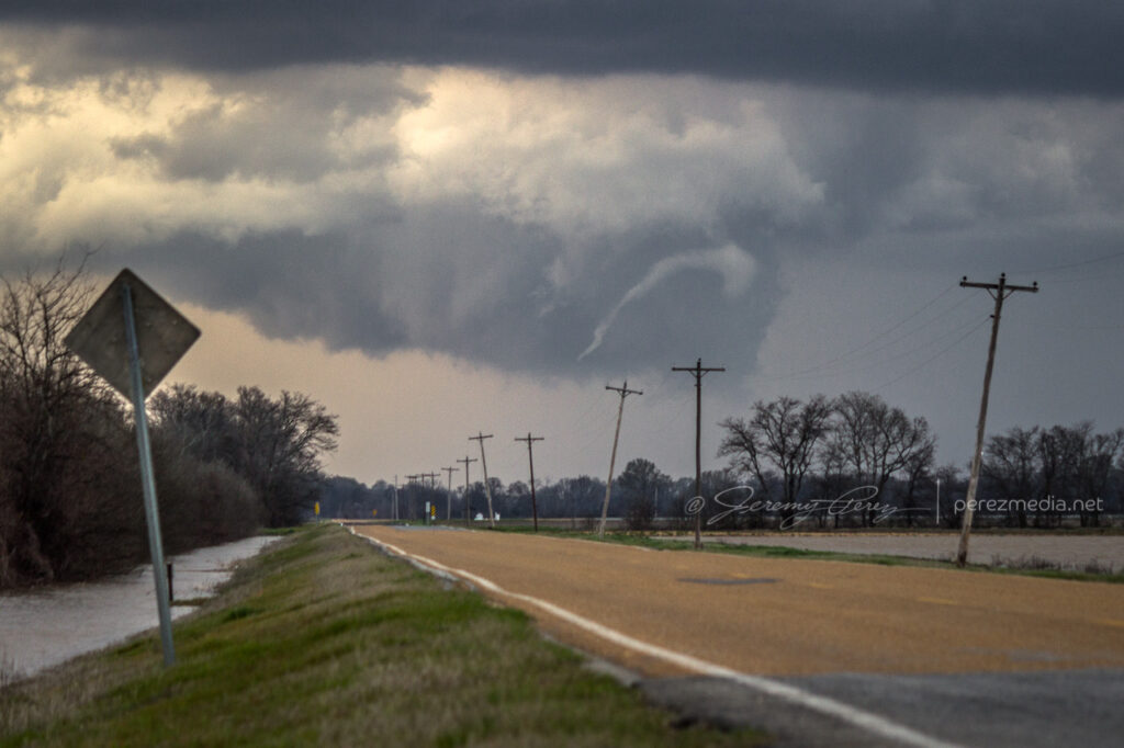
As it trucked away, it framed up with the counterpoint to terrible storm views, which is beautiful landscape views. It flipped me a little shear funnel as it diminished into the distance.
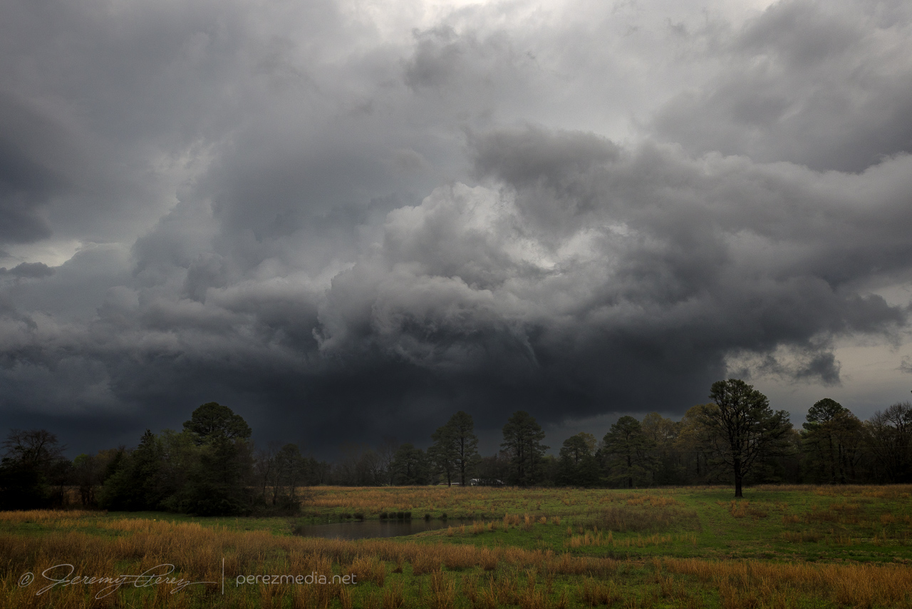
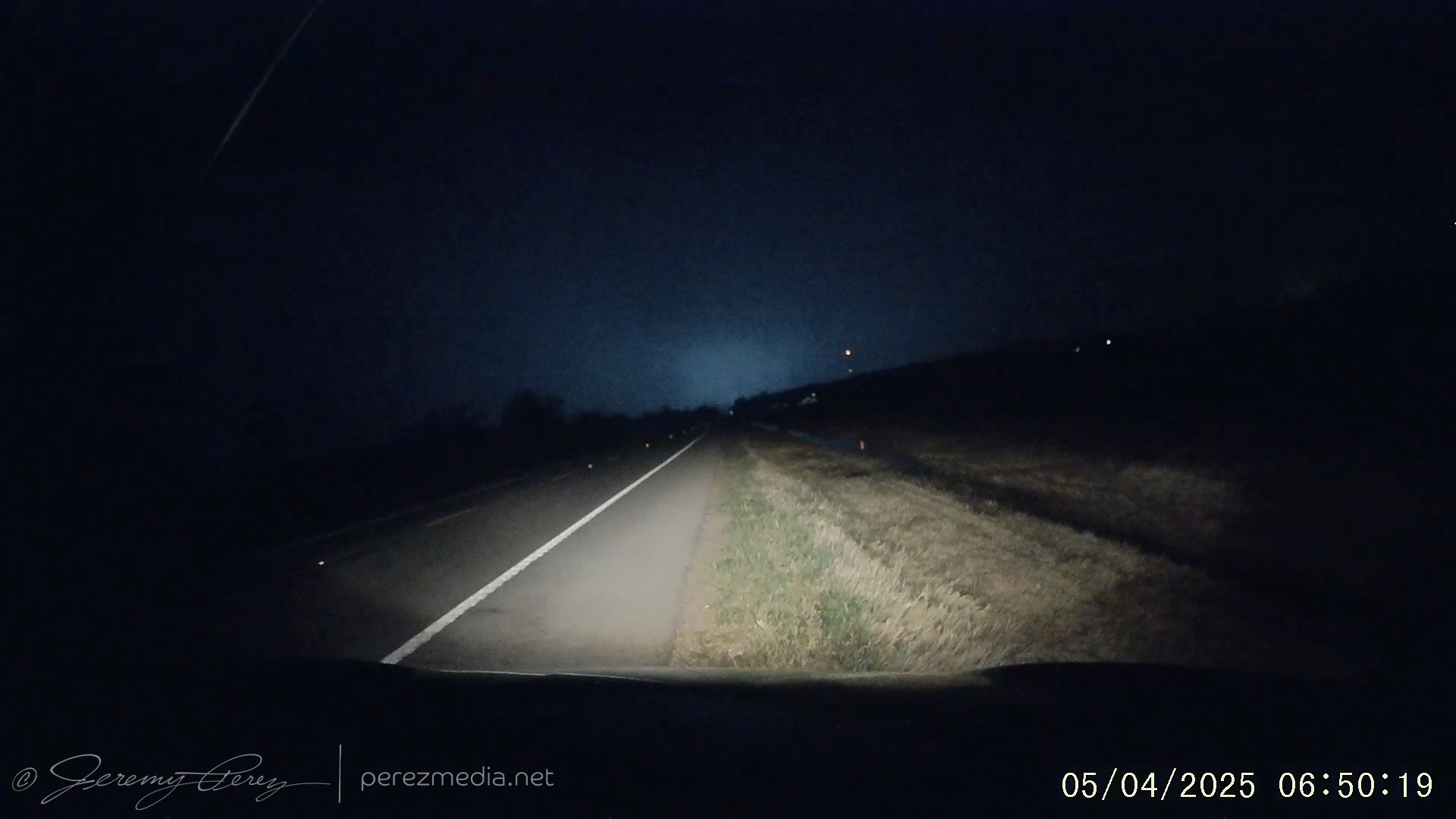
I repositioned to see if the follow up storm would be any good, but it too decided it was time to take a snooze and floated on by with a tame, flat base.
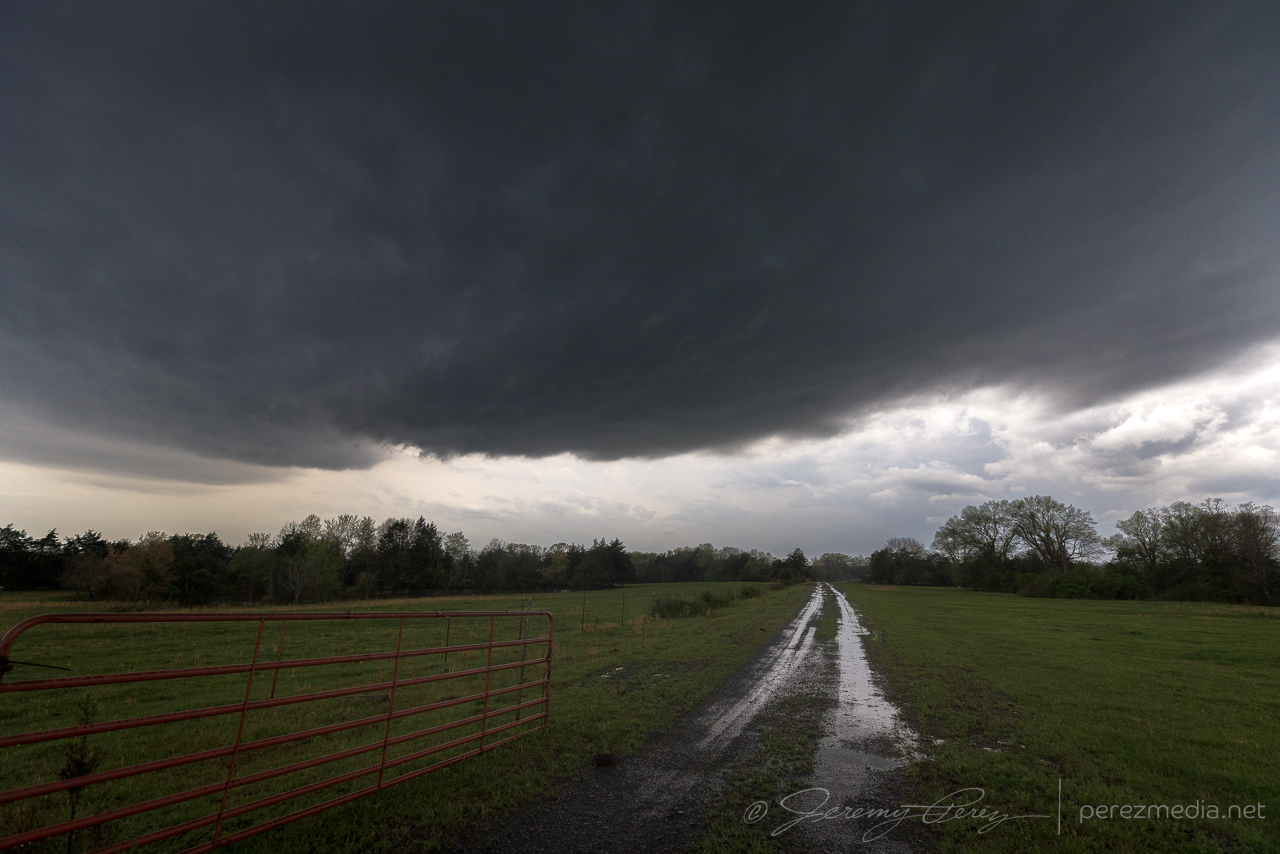
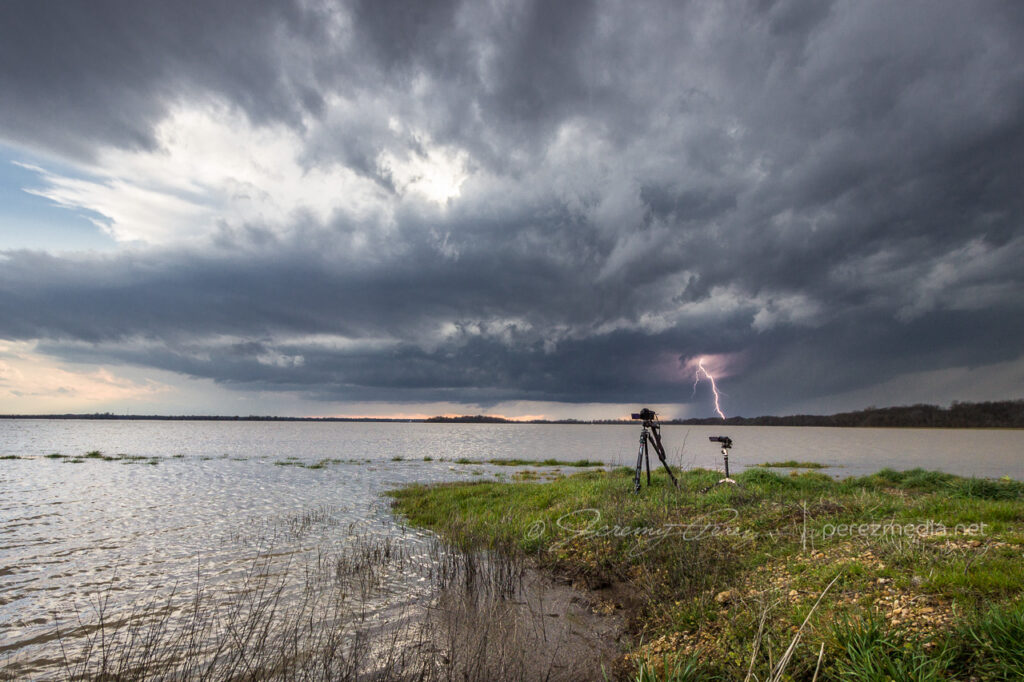
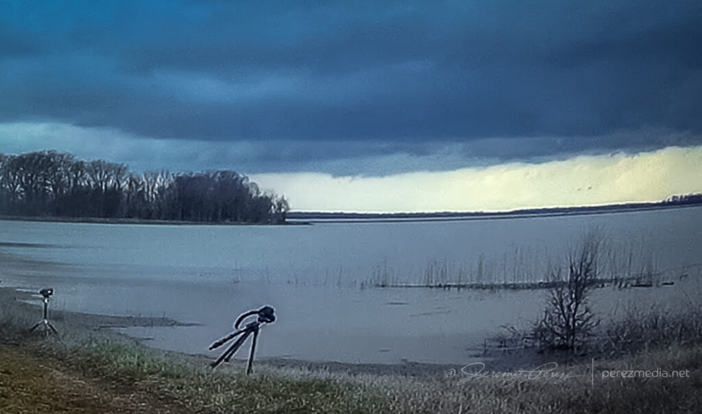
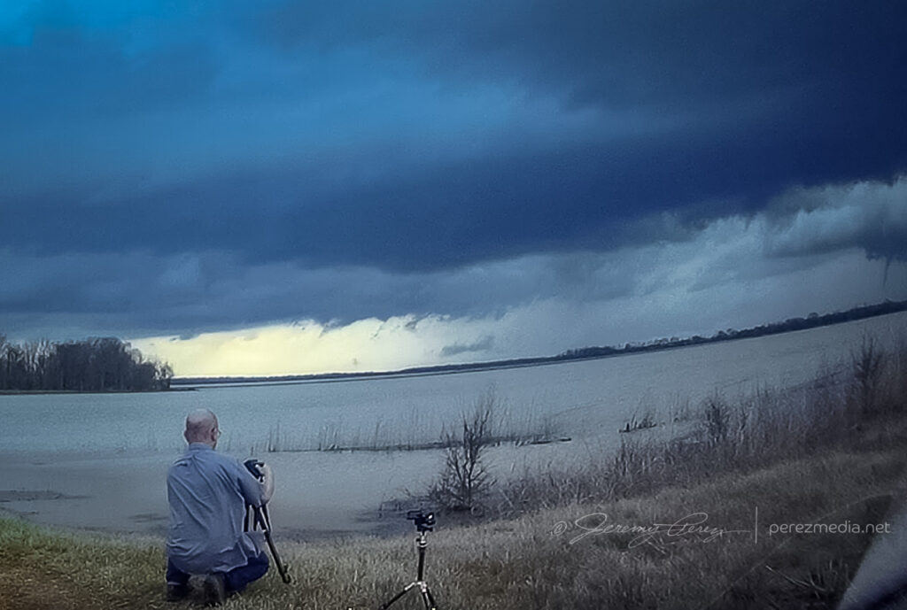
With that futile exercise out of the way, I hustled southeast, hoping to get a look at a huge supercell heading toward Little Rock. I had the bright idea to set up in the flat farmland east of the city and time lapse the evening show. I scouted out the perfect spot and set up the cameras. The cell of interest of course eased up as it approached and blended with a developing line of storms. There was still hope of a lightning show along a big shelf cloud but that didn’t gel either and a gust front was sending light showers overhead while the main line hung way back.
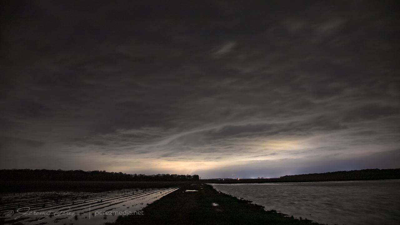
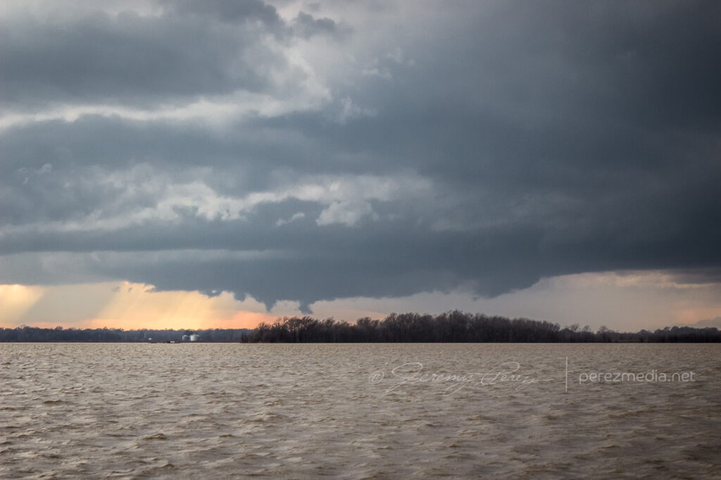
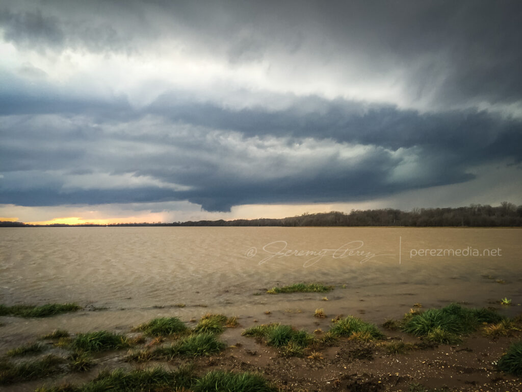
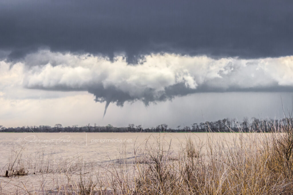
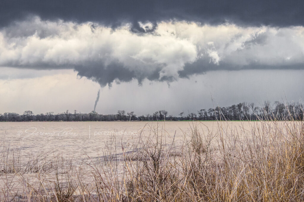
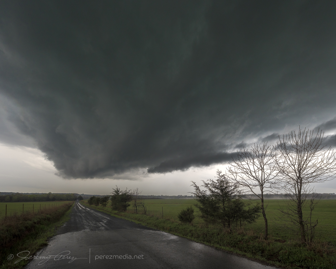
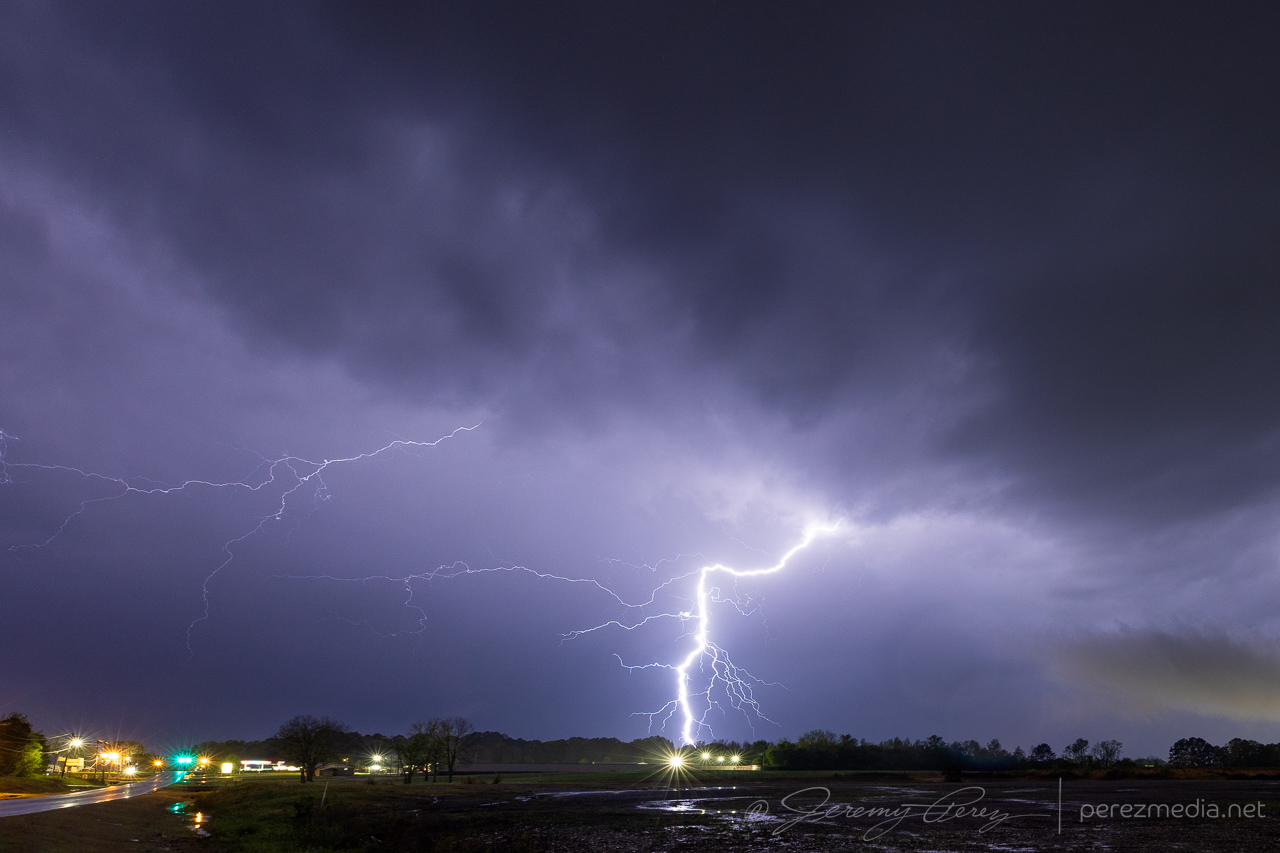
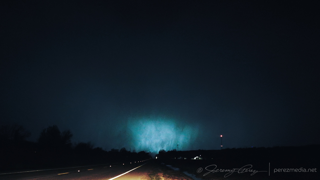
The next tornado warned cell was aimed at a crossing of I-57 at Beebe. So I cruised up that way, found a flat, muddy spot to watch it move in. And it started to fall apart with enough gusto to give up a lightning bolt.
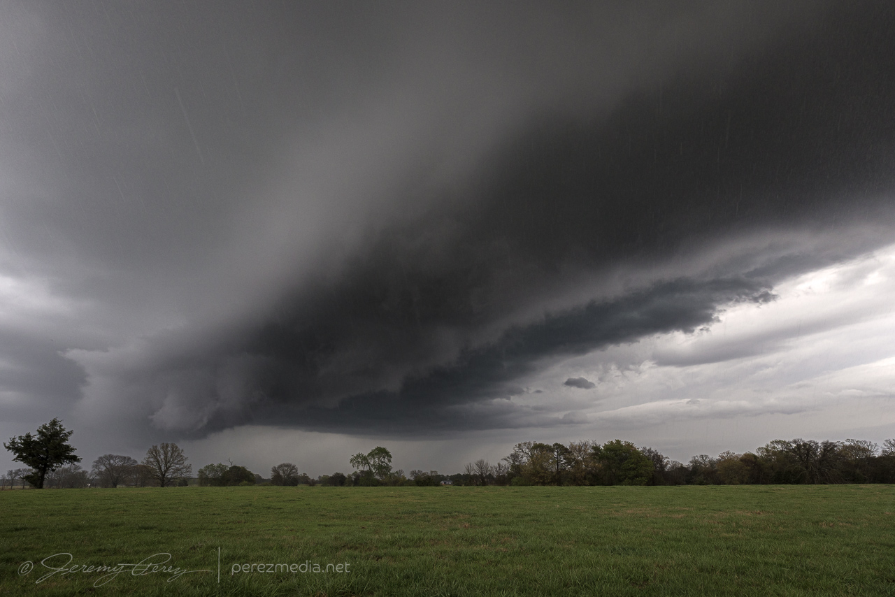
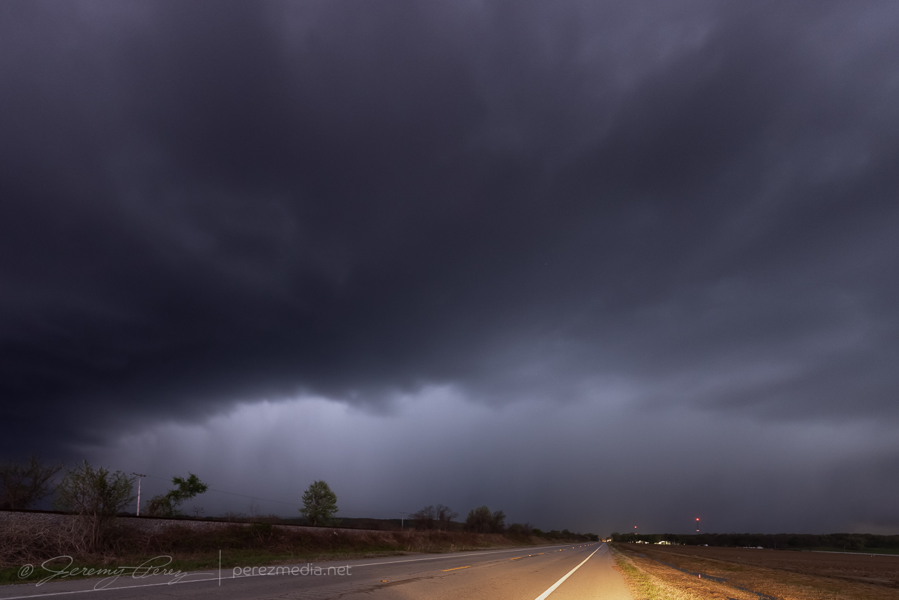
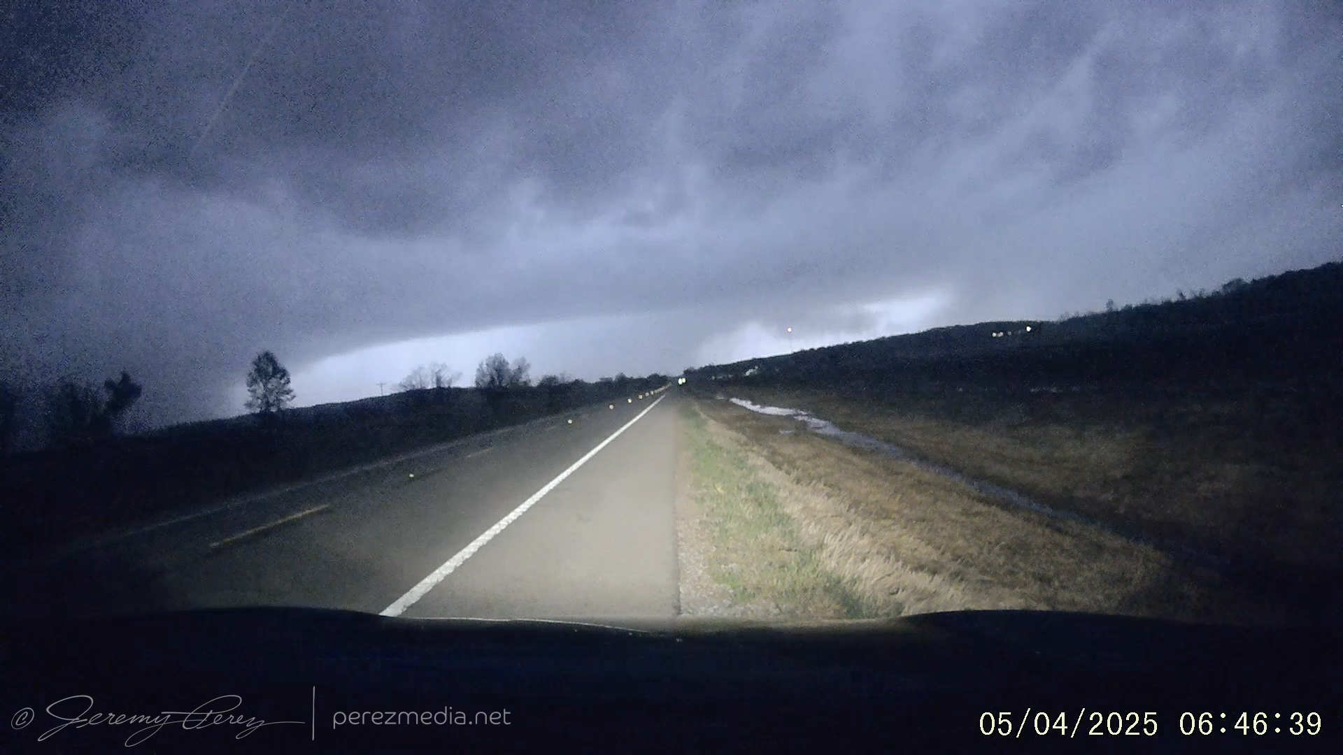
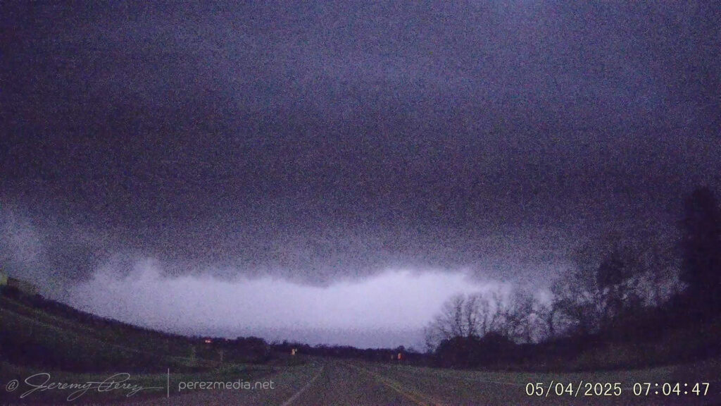
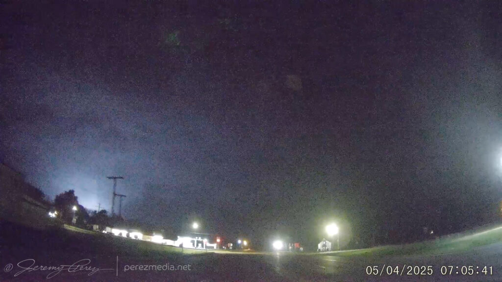
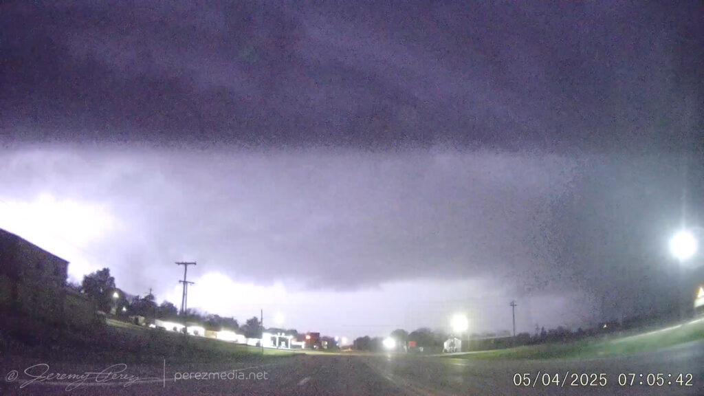
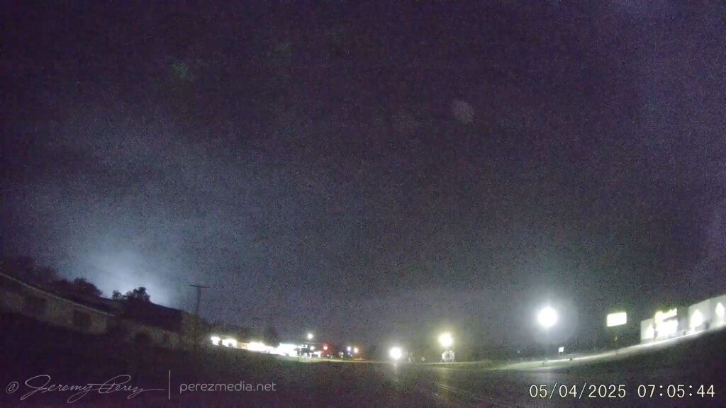
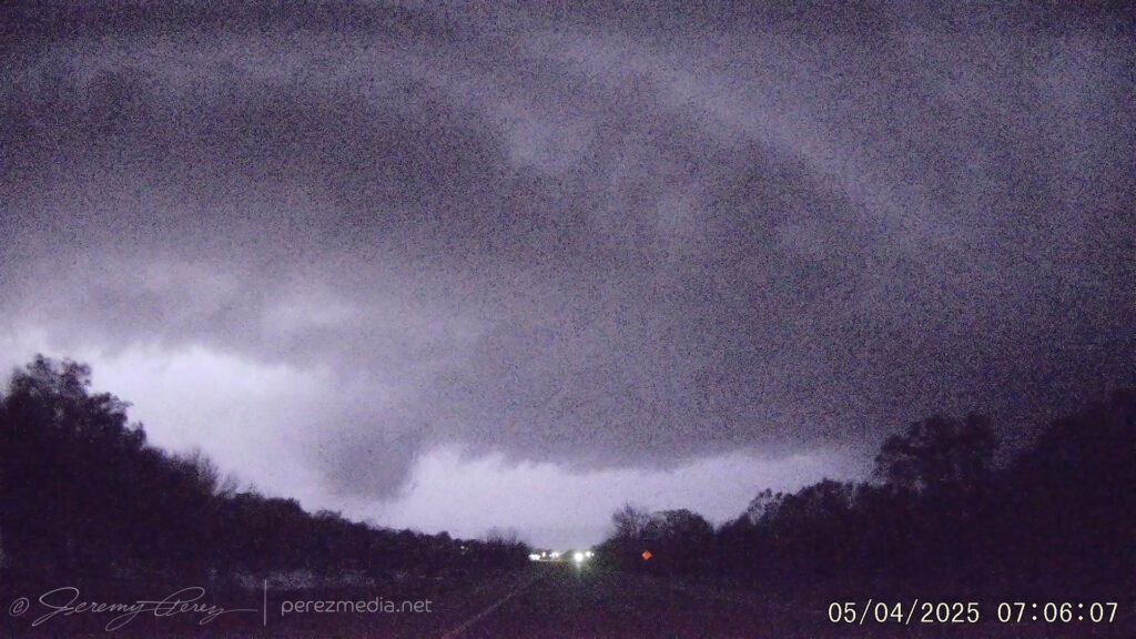
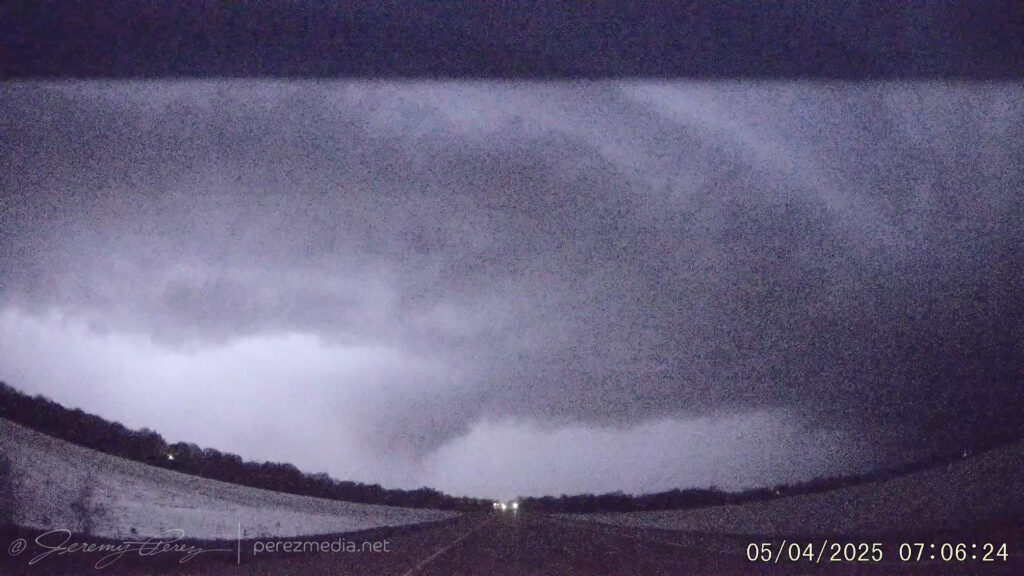
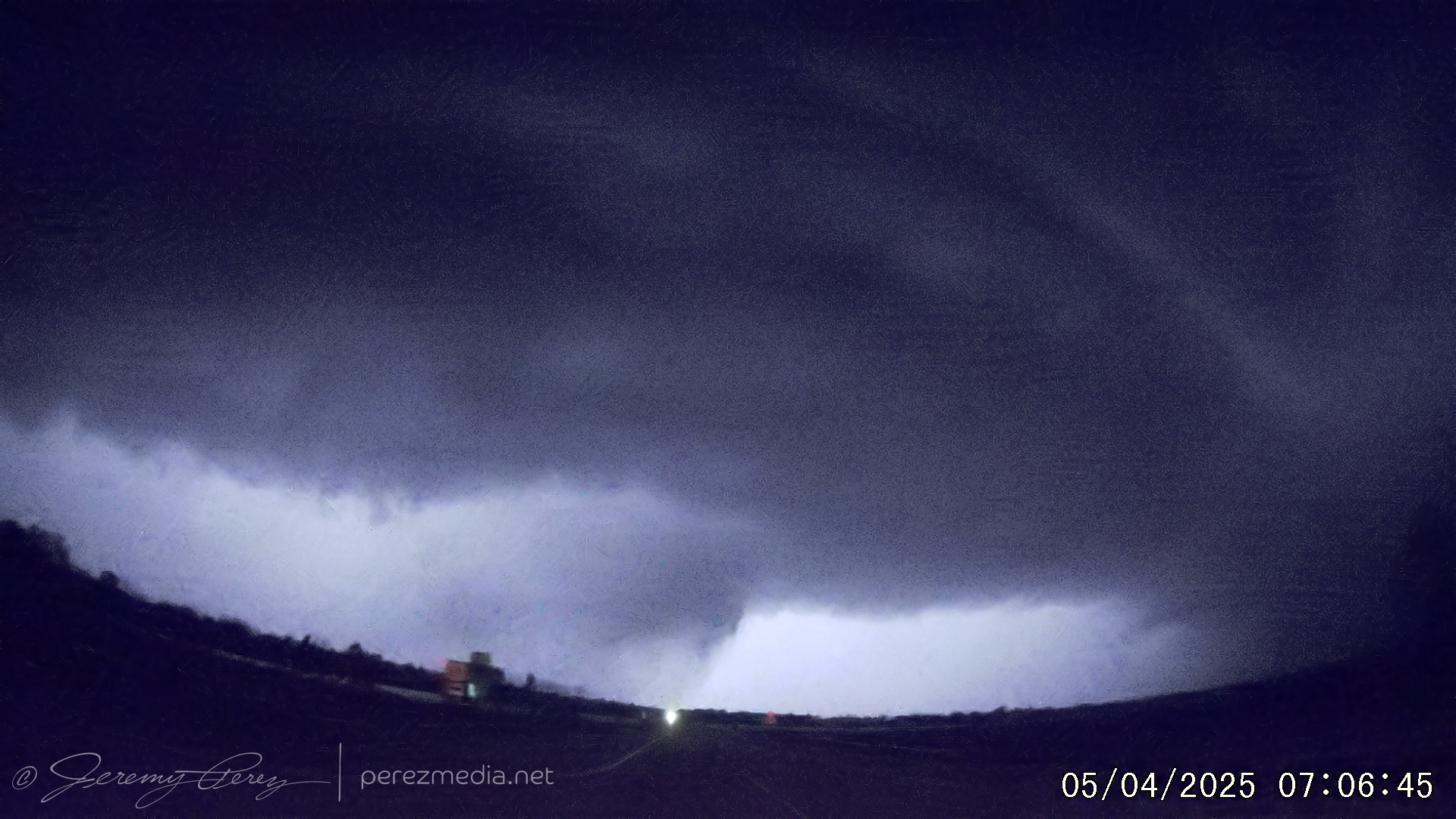
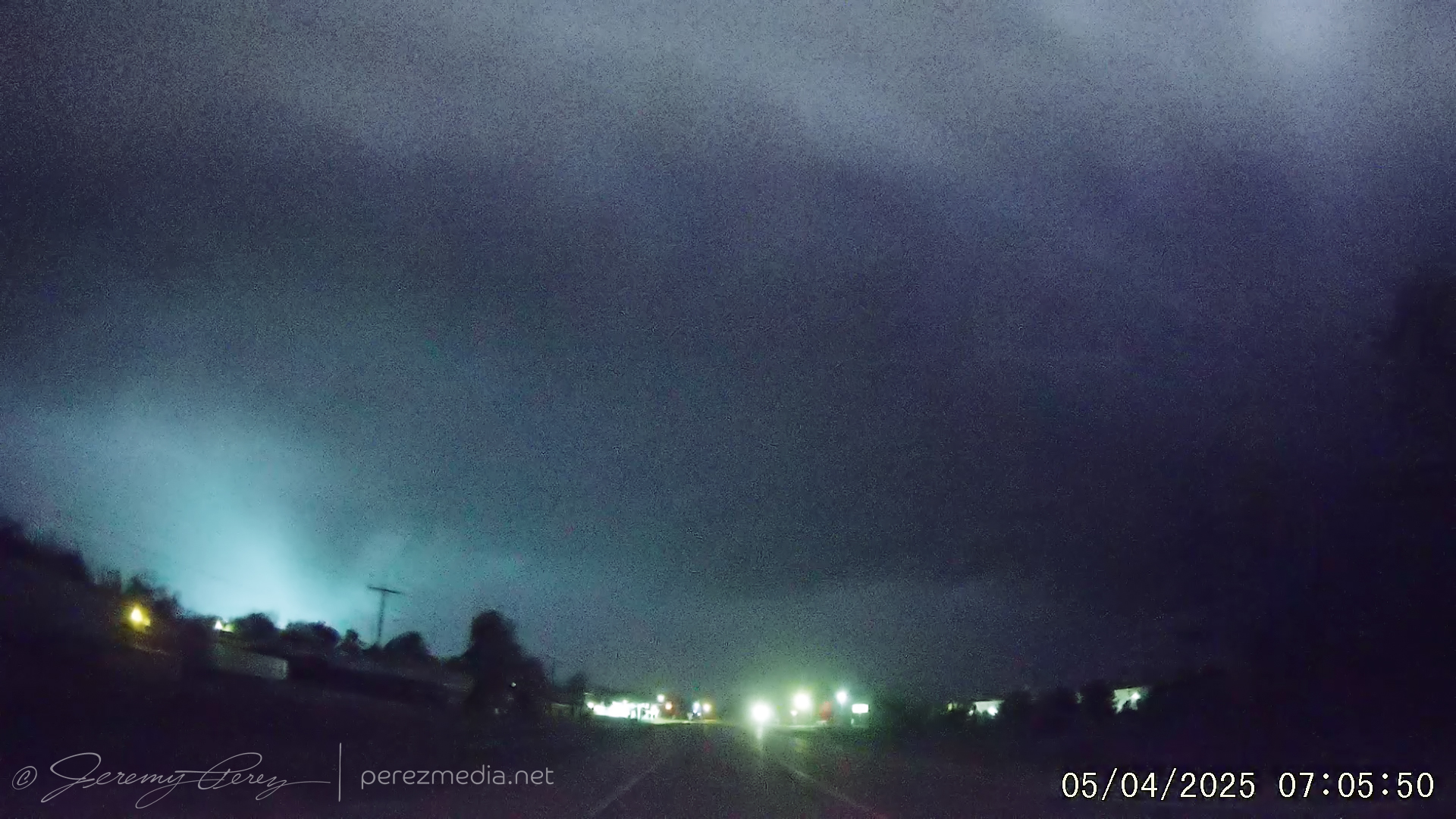
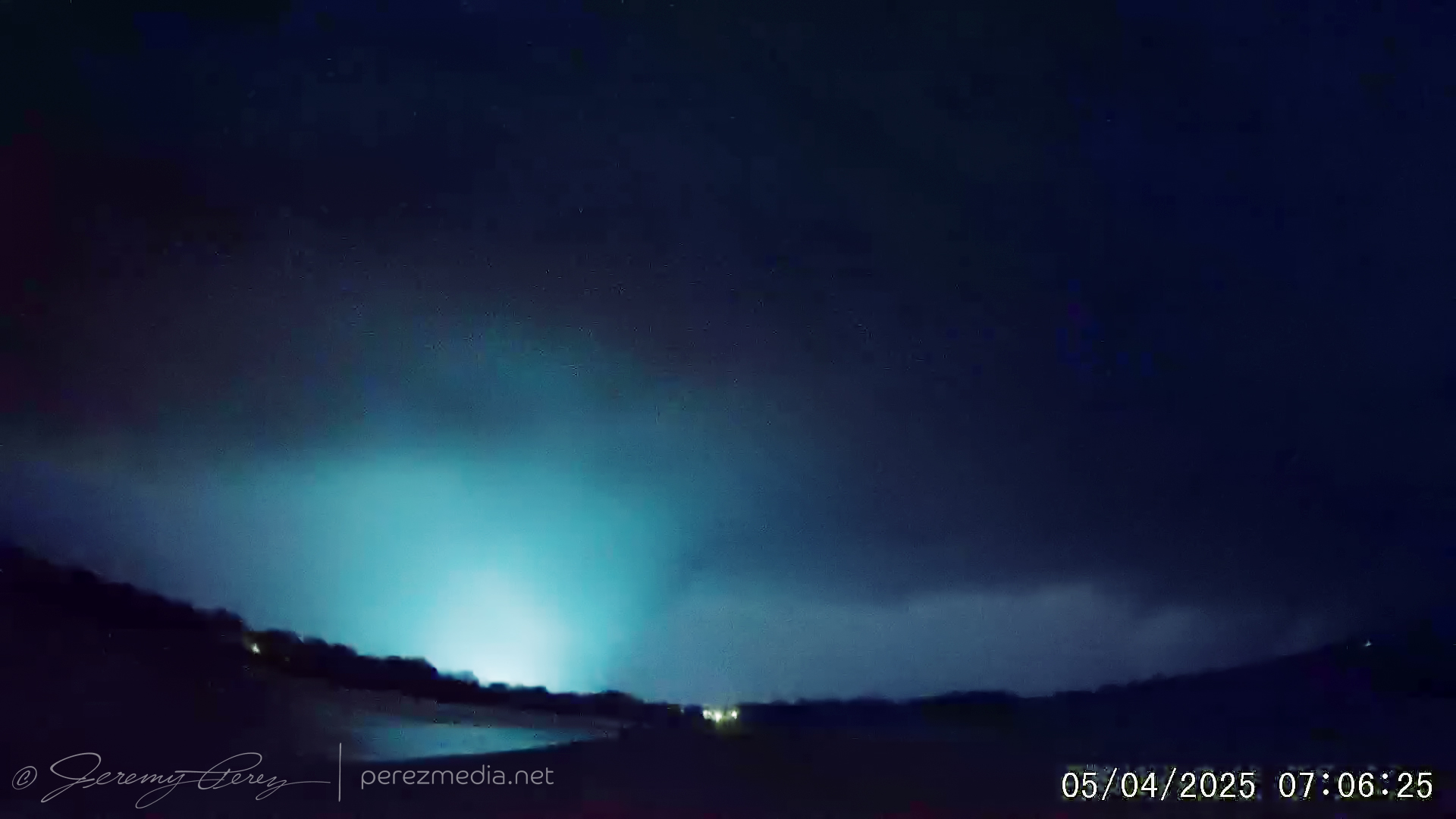
The line of storms to the west was now well organized and hustling eastward. I opted for Highway 64 as the surfing road and pretty interesting how that worked out. As the line approached Crowley’s Ridge, it started spinning up mesovortices and picking up tornado warnings. I stopped just east of the town of Wynne to watch one of these move in. Shortly after turning around and facing that way I caught a power flash out of the corner of my eye. A couple more power flashes confirmed that big wind was happening behind the approaching precip core. The dash cam and video camera caught those flashes and a glimpse of lightning illuminated core structure.
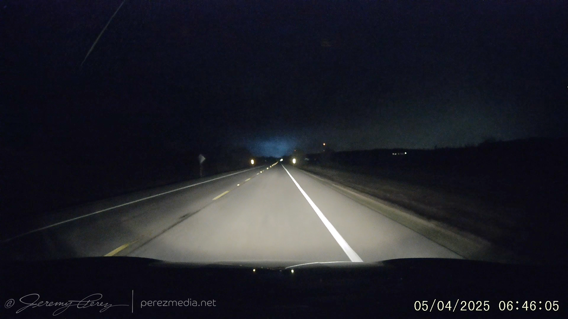
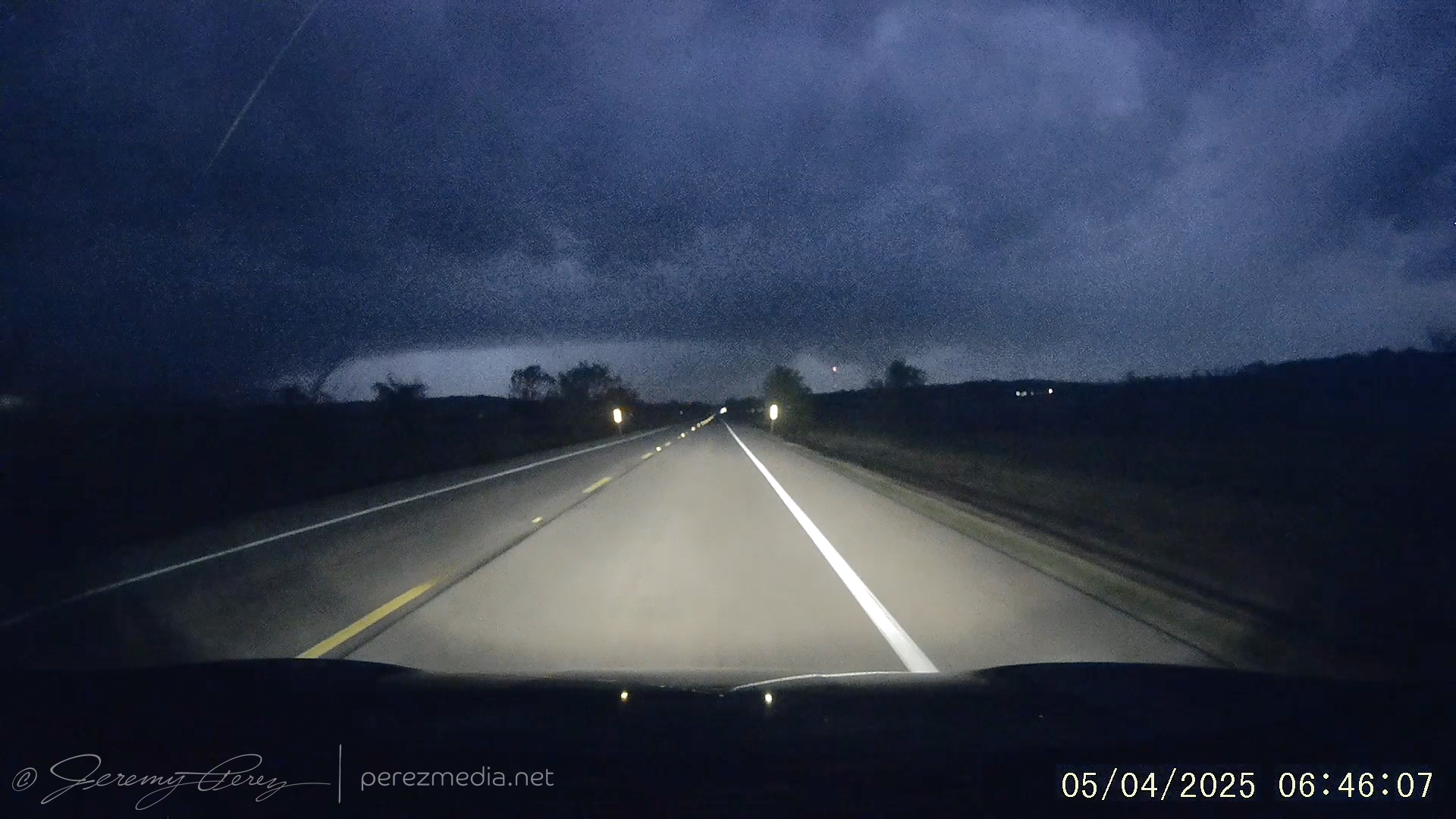
Dashcam frame grabs below showing power flashes and structure. Time stamps are in GMT/Zulu time and accurate within a few seconds.

The image below is a contrast enhanced frame grab from the R6II as it was on high-res video duty.
I had to cut it short after that last flash and blasted east again. At this point, I was just trying to find the right spot to duck away from the strengthening bowing segment. I wasn’t sure I wanted to cross the river into Memphis and was strategizing the best option to unzip from the line before then. While those mental games were going on, craziness was unfolding directly behind over the town of Earle. The rear dashcam was kind enough to document that scenario as incredible structure and a lowering that turned out to be a funnel took shape with a batch of their own power flashes. Even if I know that was happening, I’m not sure I could’ve found a safe way to stop and get better photos or high-def video. Makes me want to start researching a rear dashcam with better quality. As above, time stamps are in GMT/Zulu time and accurate within a few seconds:
The more impressive of that lot:

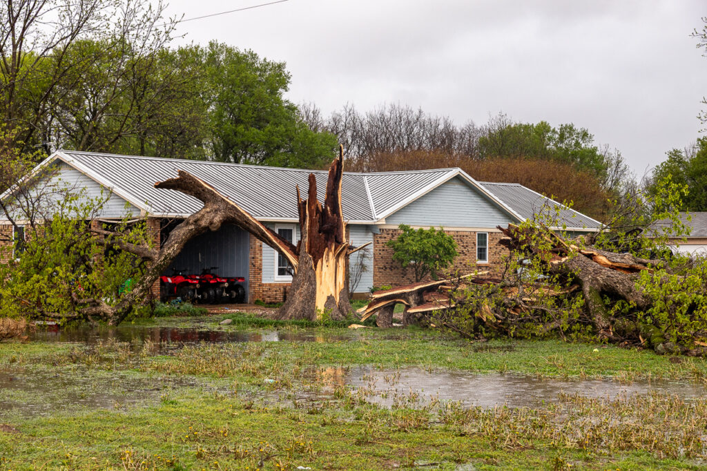
I didn’t realize all this had occurred over Earle until the next day when I went back to see if I could find any damage near Wynne. Before I could get there, I came across the downed power lines and trees at Earle. I stopped to discretely take photos of the utility crews working when I saw one of the local residents in his yard running equipment to clean up tree debris in his yard. I pulled up to ask if he would mind if I gathered some photos for a report since this site was not showing up yet on the SPC storm report page. He related the story of his phone waking him and his family up middle of the night. They flipped on the TV and saw the meteorologist describing that spinups in the line can happen on a moment’s notice and it’s hard to predict each one well in advance. He said that the next thing he heard was the loud “freight train” noise that lasted about 15 seconds and then it was over. He shook his head for a second and said, yeah, they always get described that way, but that’s what it sounded like. Fortunately the homes on that road were not damaged, but it was a very close call. The size of the tree that was taken down in his front yard was staggering, besides all the others up and down that road.
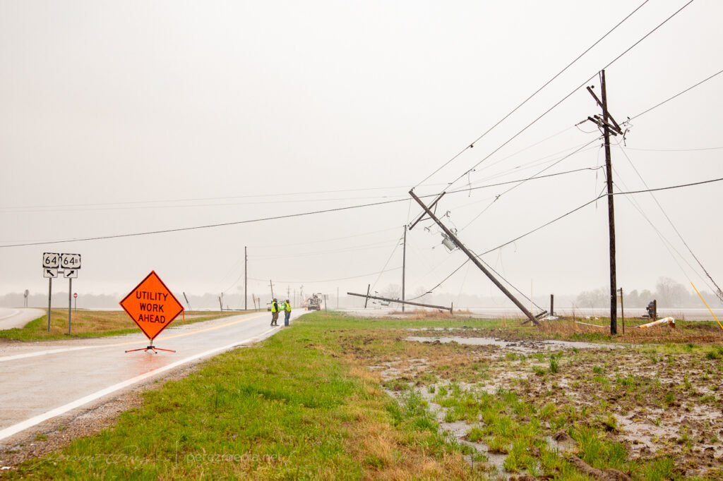
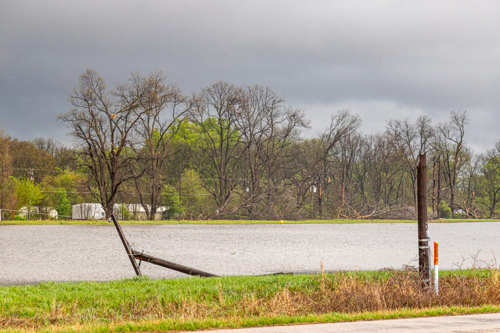
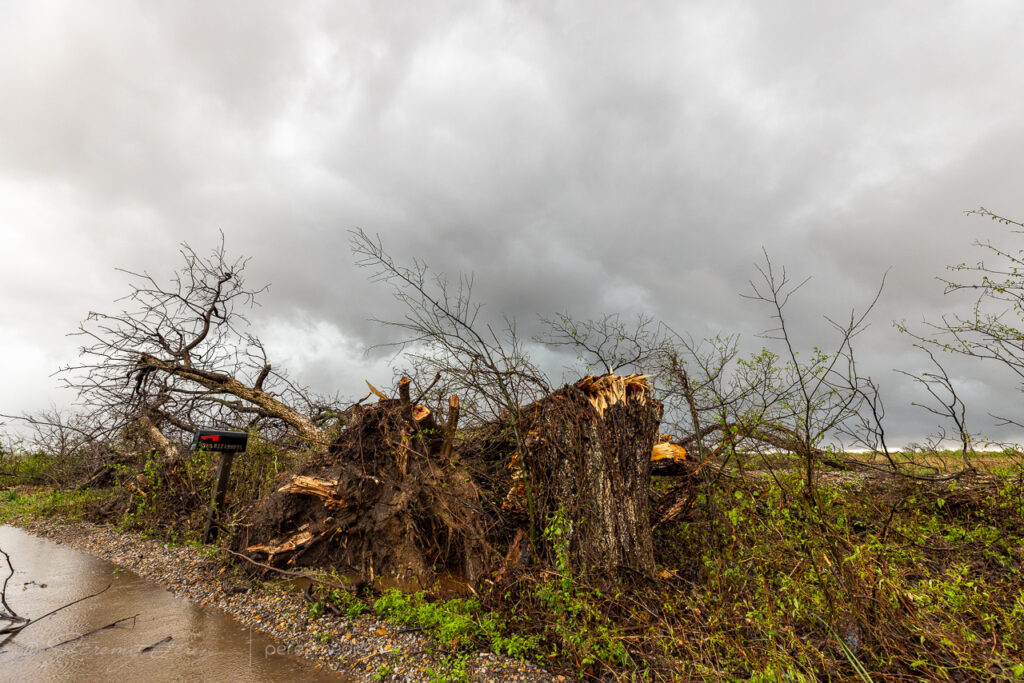
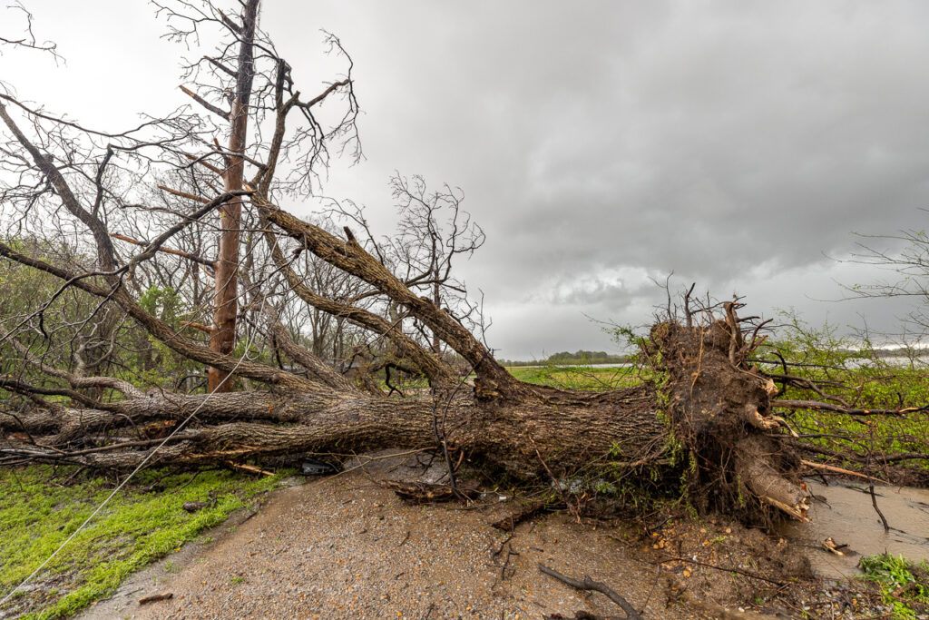
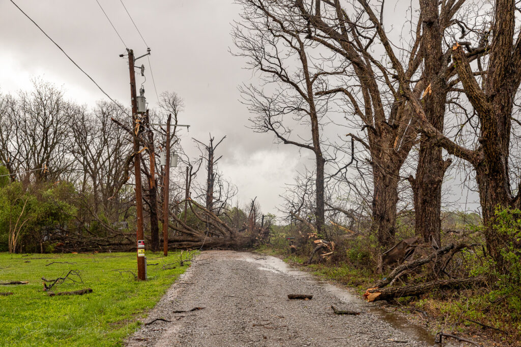
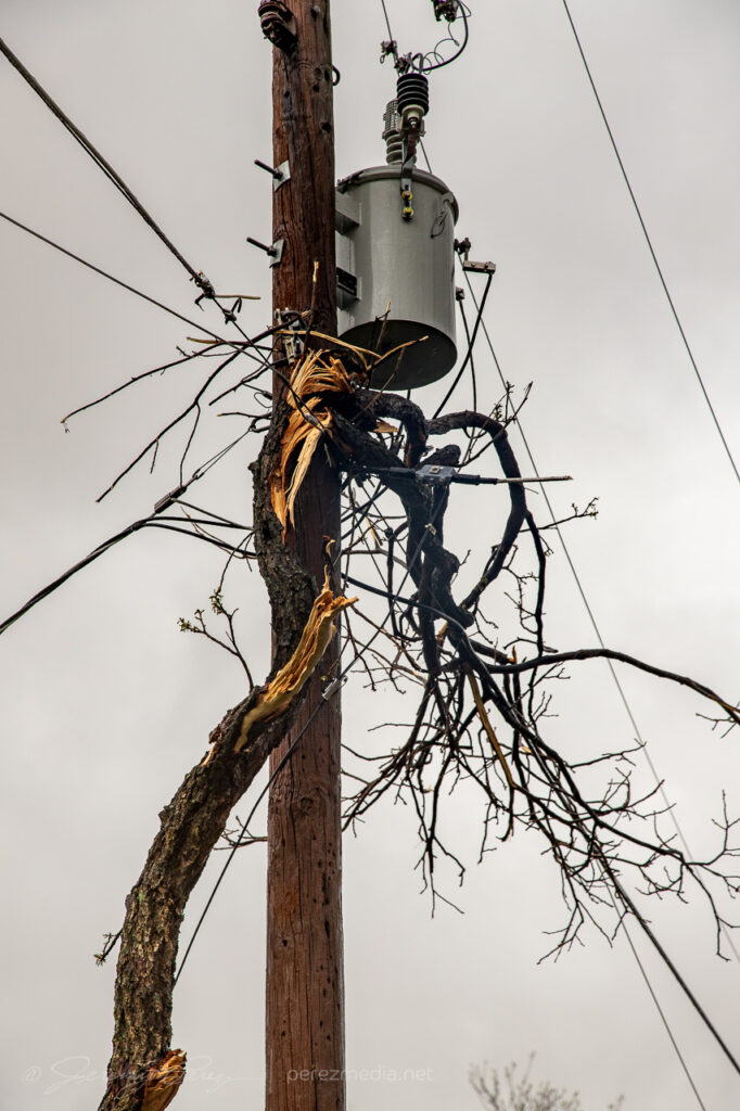
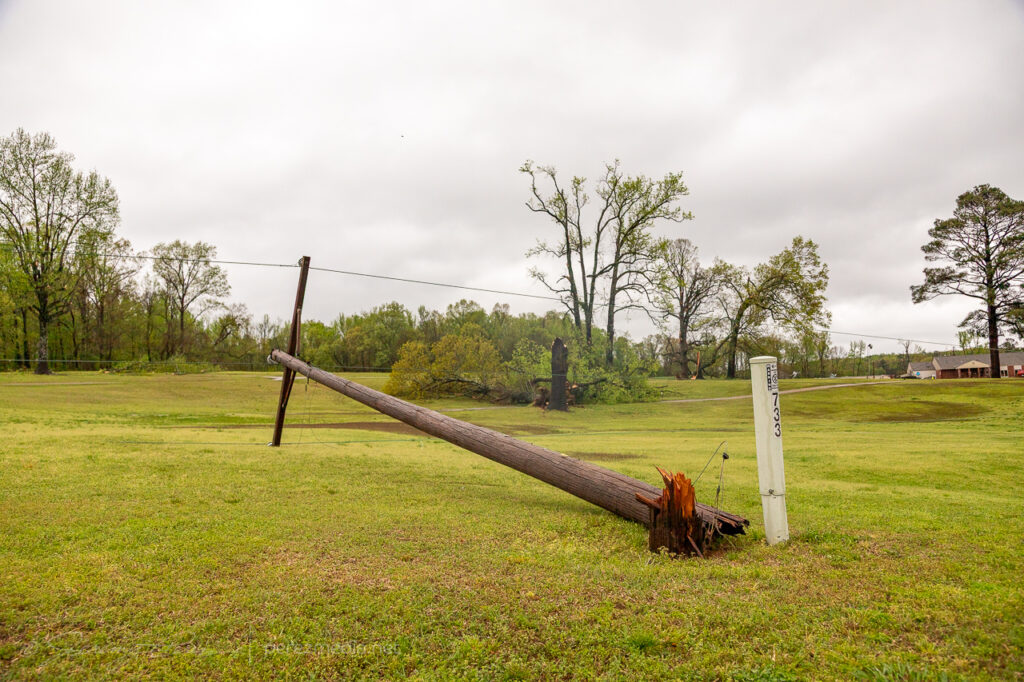
Further west at Wynne, the Crowley’s Ridge Country Club, the damage was not as extensive, but multiple trees and a section of utility poles were down. In both towns, the utility crews were making fast work of the repairs.
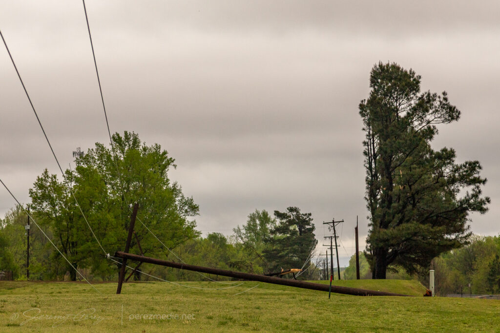
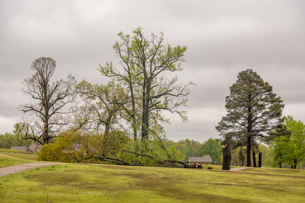
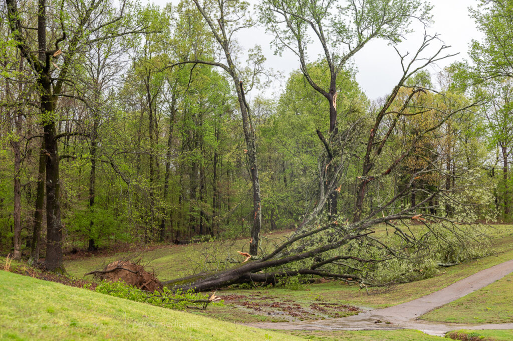
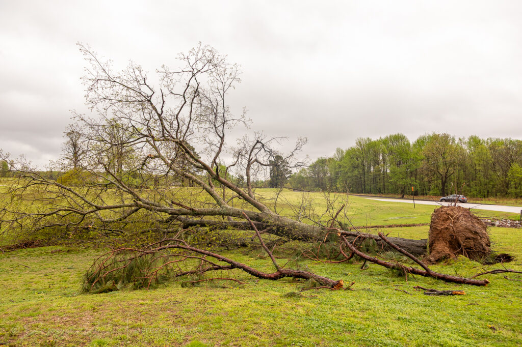
Just an absolutely insane night after a very slow and frustrating start to the chase day. Damage from those two tornadoes gives me a heightened respect for he quick and dangerous spinup hazards in QLCS setups with dangerous parameters downstream.
UPDATE: After compiling damage photos and video frame grabs from the dashcam, I submitted those to the NWS Memphis and received this note in reply:
I wanted to thank you for the very detailed report you provided for the damage you observed. This helped identify tornado damage that we were previously unaware of. Looked like there was some previous damage on Gaskill Rd, but new damage was certainly observed as well. We were able to trace out a sporadic track over a 5-6 mile length.
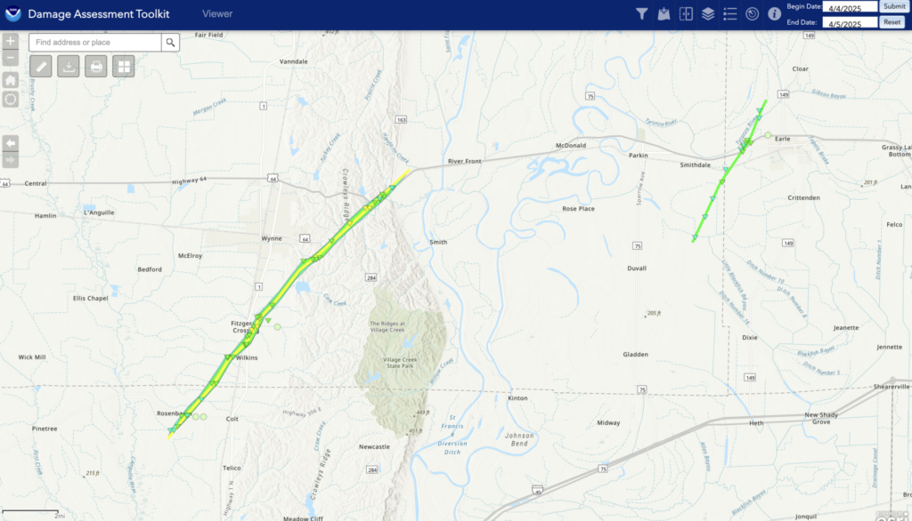
That heightens my awareness of the value of reports — whether ongoing events, or damage details after the fact. Track details are available at the NOAA Damage Assessment Toolkit. The Wynne tornado was rated EF-2 and the Earle tornado EF-1.