Category: Uncategorized

  • 24 April 2025 | Matador, Texas | Tornadoes

    24 April 2025 | Matador, Texas | Tornadoes

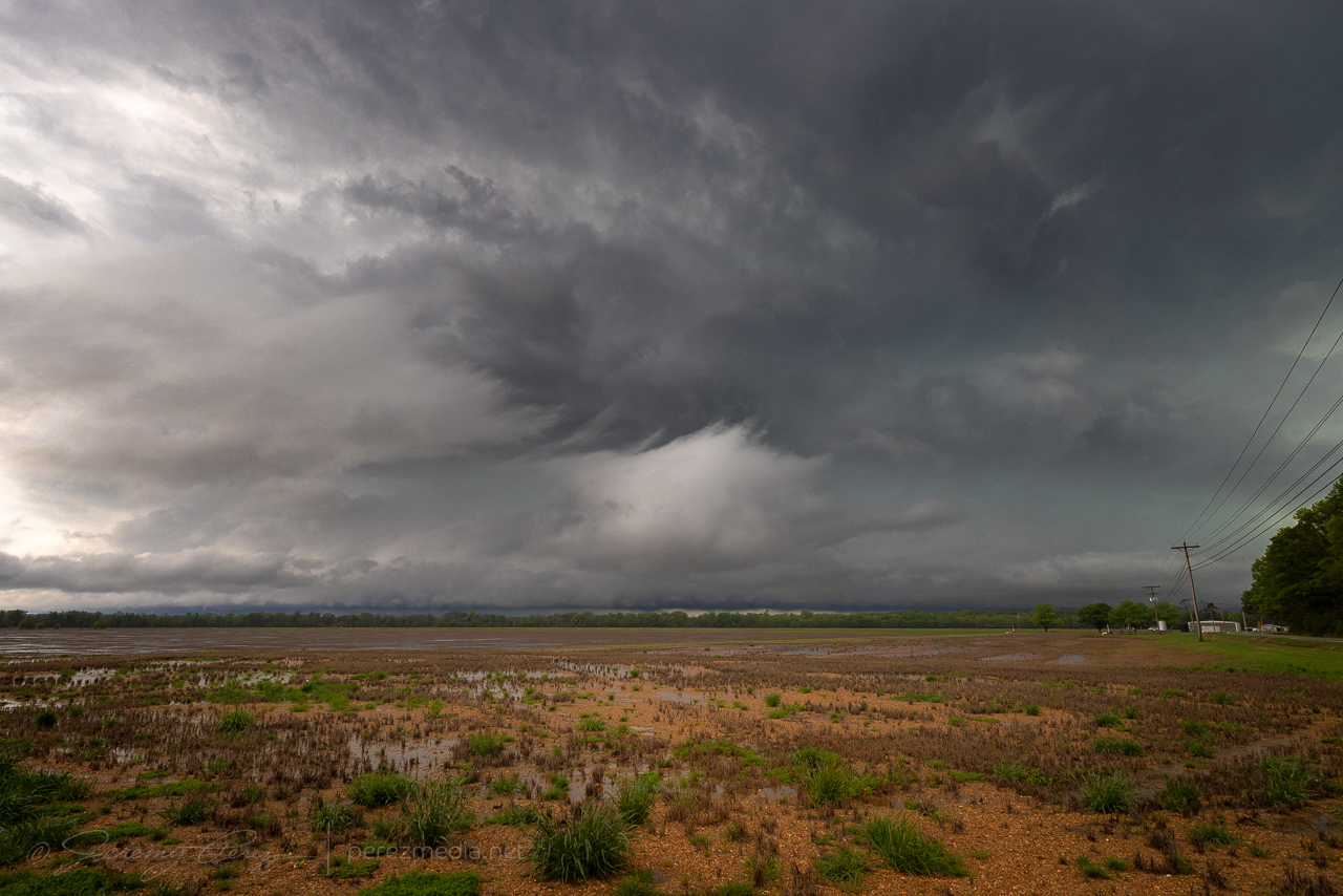
    This day featured 25-30 kts of westerly 500 mb flow over the Panhandles for 40 kts of effective bulk shear with MLCAPE rising over 2500 j/kg. Some outflow boundaries were in play with a prominent one moving southbound and eventually setting up northwest-southeast over the southern panhandle.

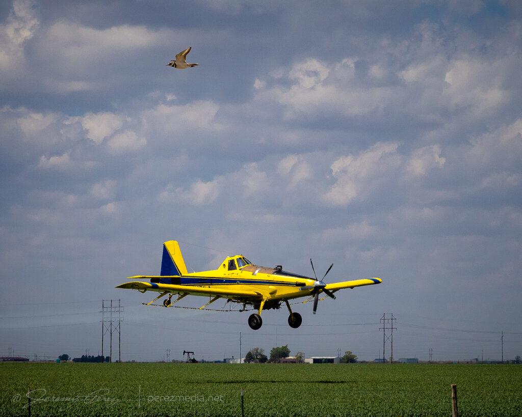
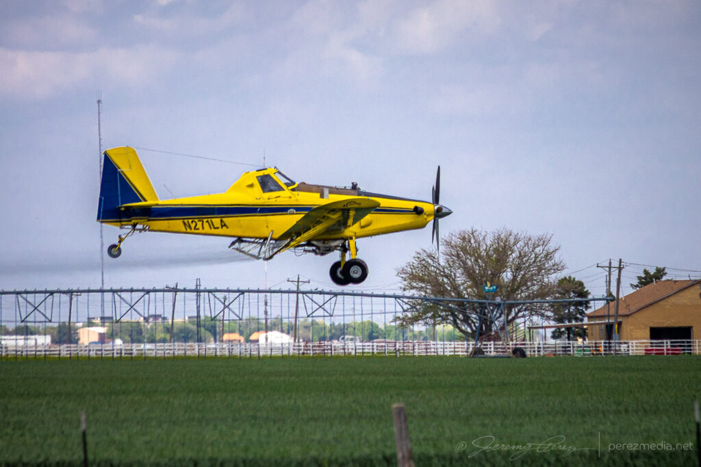
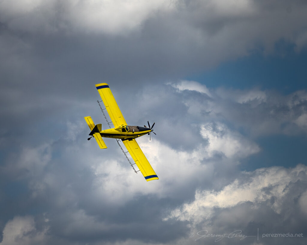
    The storm of the day seemed to fire off this outflow boundary southwest of Silverton and produced a tornado at 2315Z, about 20 minutes before I got there. The 12 minutes I spent distracted by the dynamic flying of a cropduster up in the Oklahoma Panhandle contributed to that miss, but not by enough to be totally to blame.

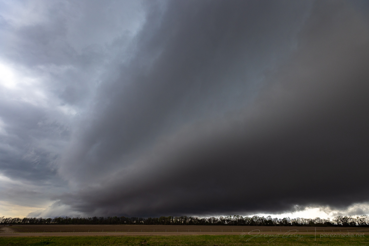
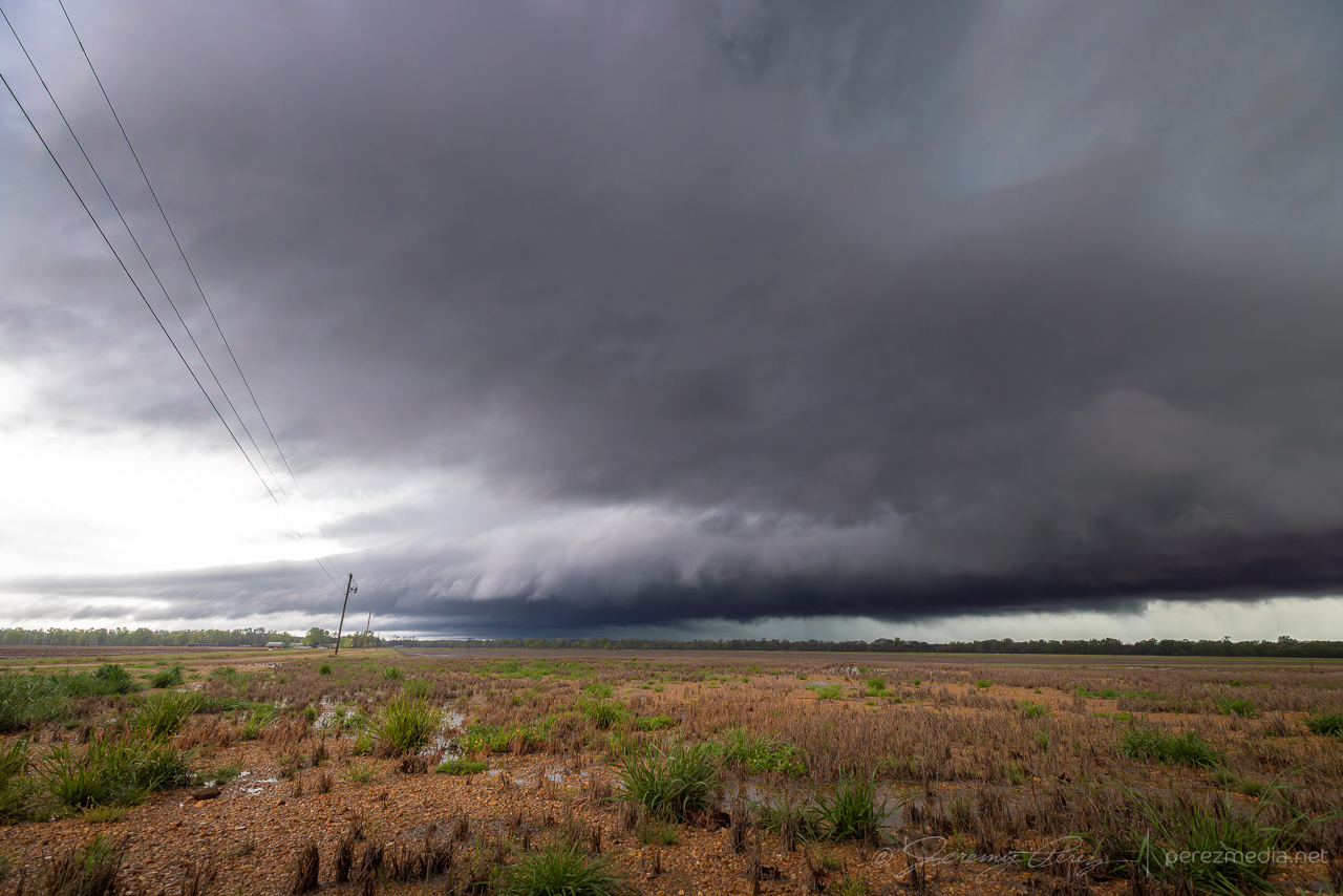
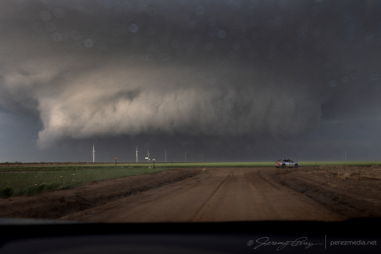
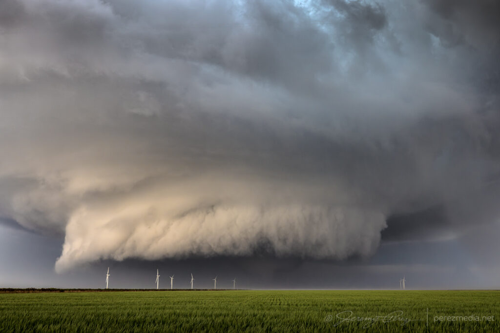
    I caught up with that storm just on east side of the Cap Rock escarpment. It looked like it was reconsolidating after its early show.

    Storm regrouping west of Flomont, Texas, after its first tornado, which I missed — 2335Z.

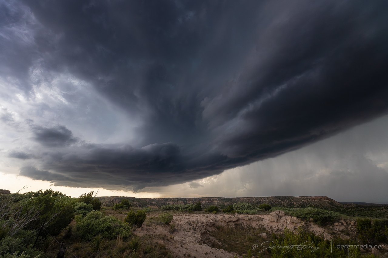
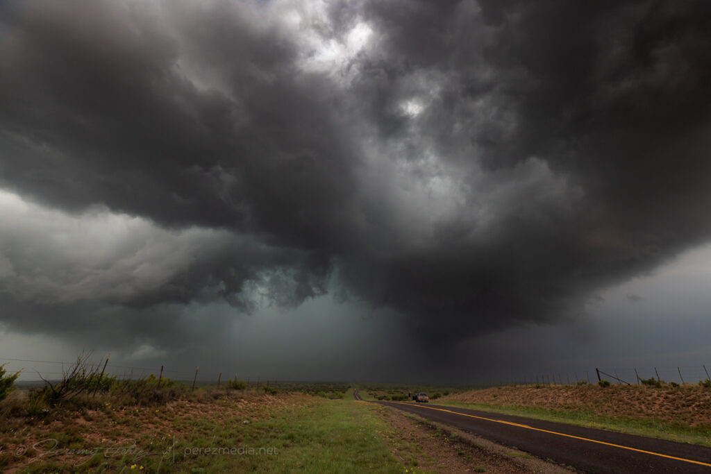
    I dodged southwest of the forward flank and got in front of it in time to watch a new RFD cut slice in and tighten up. As I was deciding whether to surf the cell down the farm grid, a plume sprouted just to the north beneath the hub of the circulation and convinced me to hold off and skirt a bit further to the west.

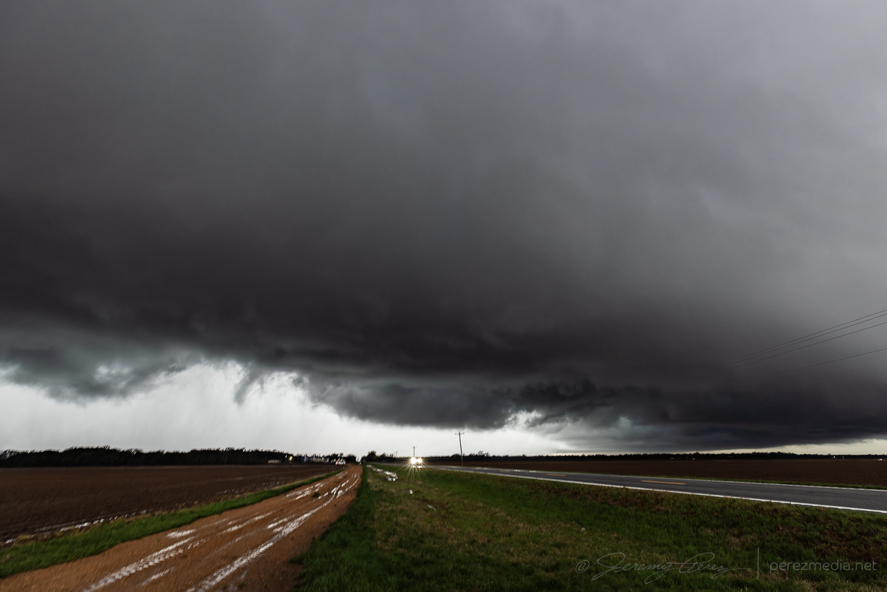
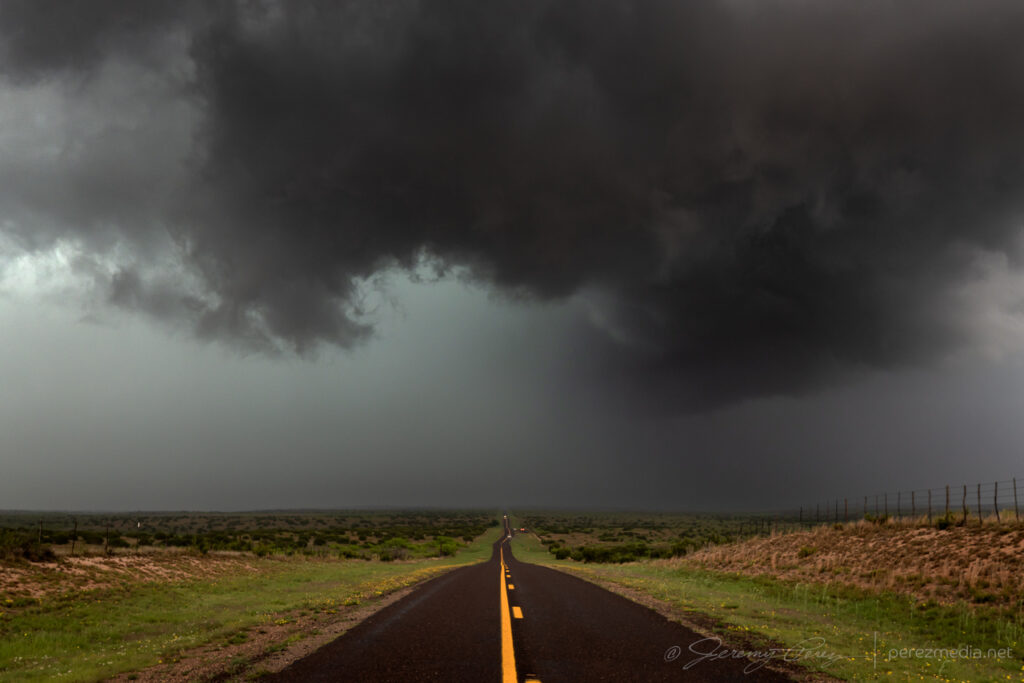
    I made it down to CR178 and then back east toward the storm. After pushing through the haze, an impressive, rapidly spinning wall cloud appeared straight ahead.

    Catching back up to a rapidly rotating wall cloud at the intersection of CR178 & 271 — 0014Z.

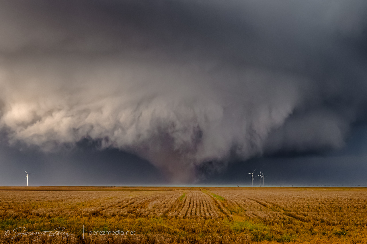
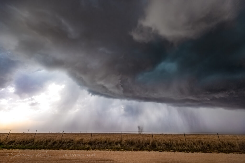
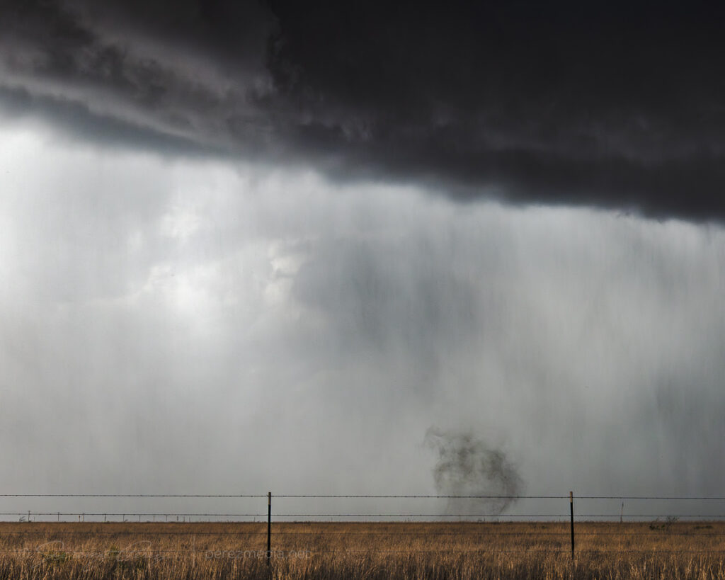
    I turned south at CR271 and started grabbing video and stills as a tornado emerged from the shadows. As it widened, turbulence at the base revealed churning subvortices. Just as I was trying to lock in the video camera on the window mount, the ball head lock nut loosened up and all the camera wanted to do was fall to the side. Getting simultaneous video and stills was huge challenge with that going on.

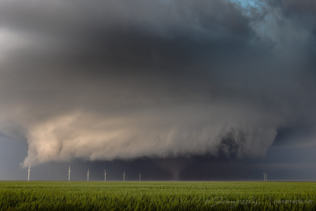
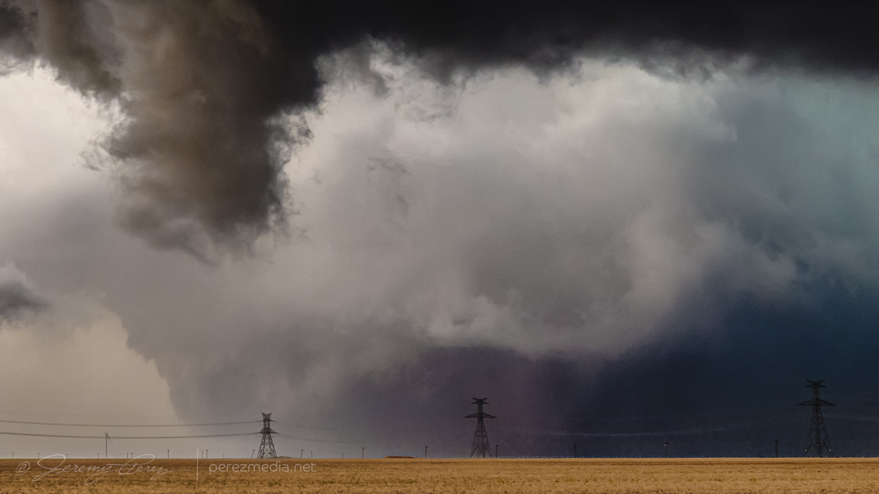
    Tornado beginning to materialize and clearly condensing WNW of Matador — 0015Z.

    Dirt eating cone behind a shaggy wall cloud — 0017Z.

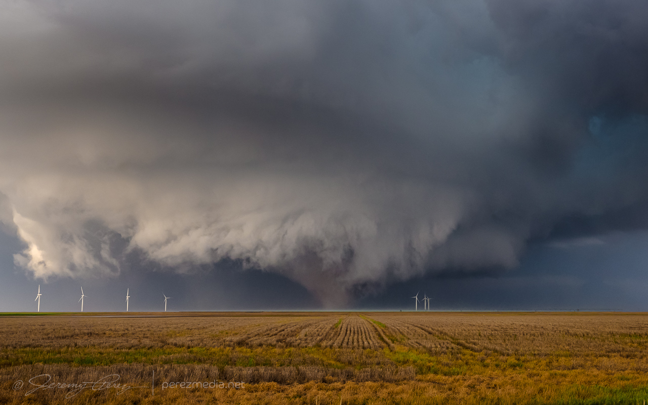
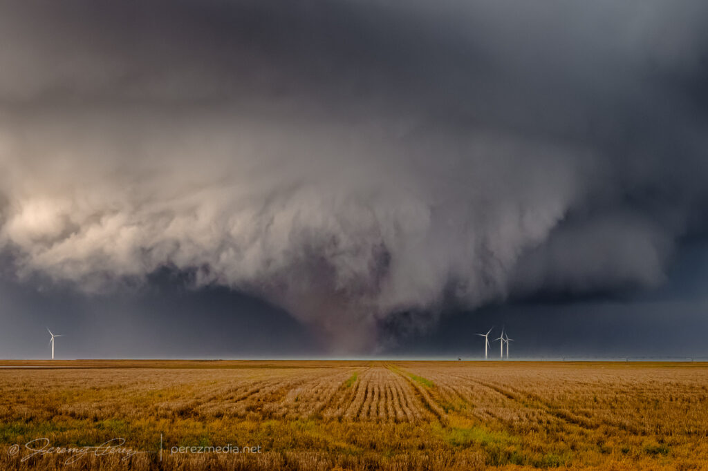
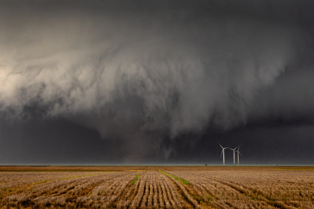
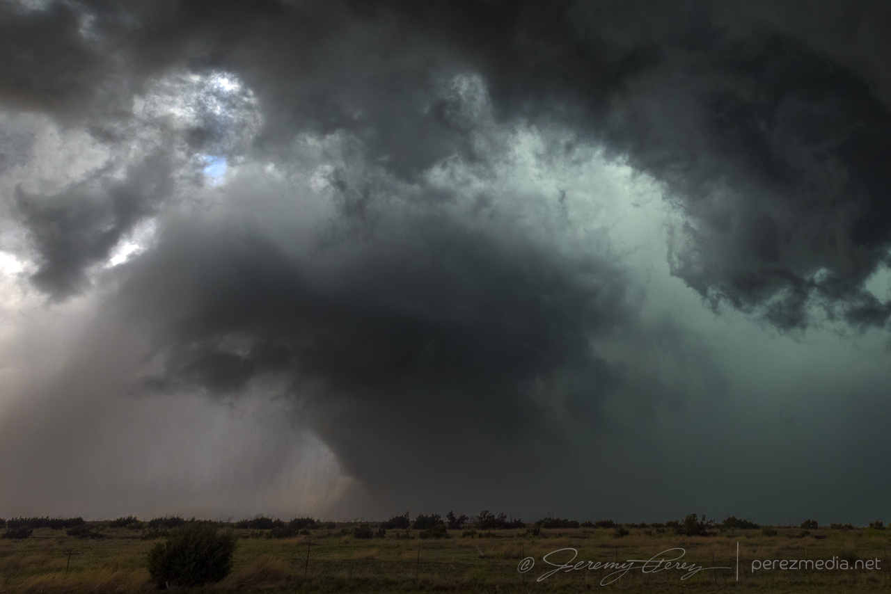
    The west side of it was a great view with front lighting showing the subtle contrast in color between lofted debris in the funnel and cleaner vortices and wall cloud. But I only had about 3 minutes with it before it got obscured in rain. I headed further south and then east on Highway 62 and got a view of the hazy brown cone tucked under the wall cloud.

    Looking northeast at the mostly obscured cone from Hwy 62 west of Matador — 0029Z.

    Five miles further east I got back ahead of it just in time to watch the tornado move in for a couple minutes before dodging back out of the way and watching the storm move off.

    Looking northwest at occluded tornado as it approaches Hwy 62 — 0037Z.

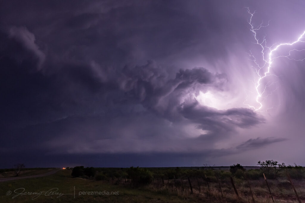
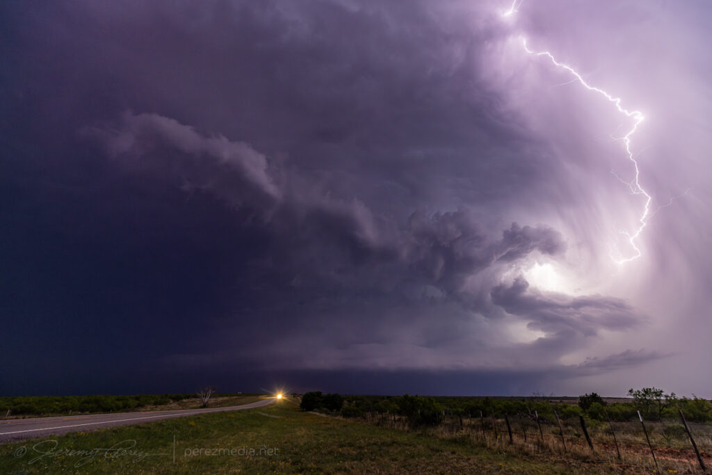
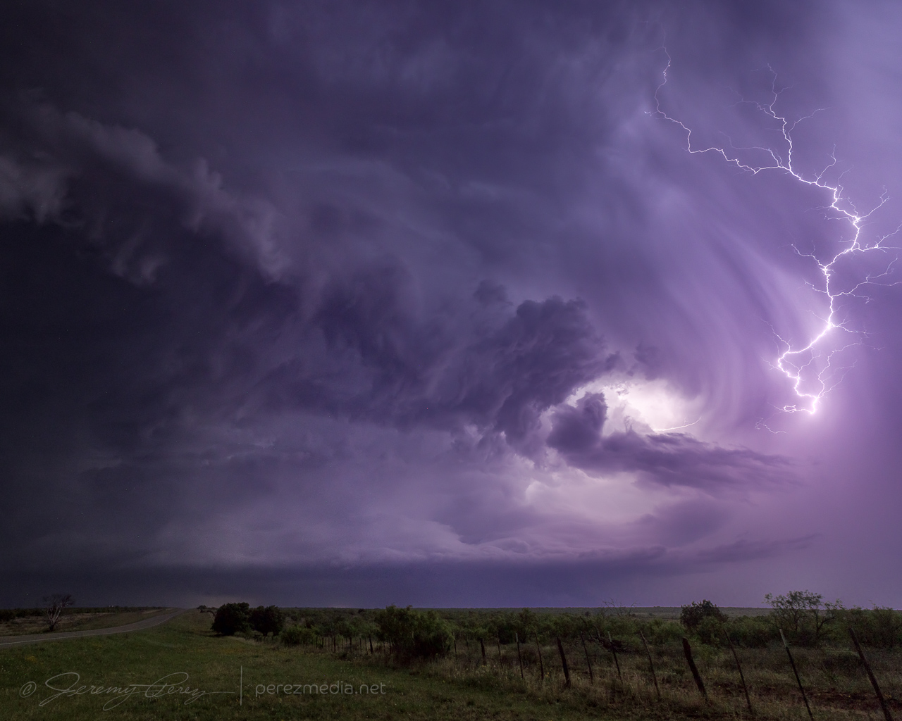
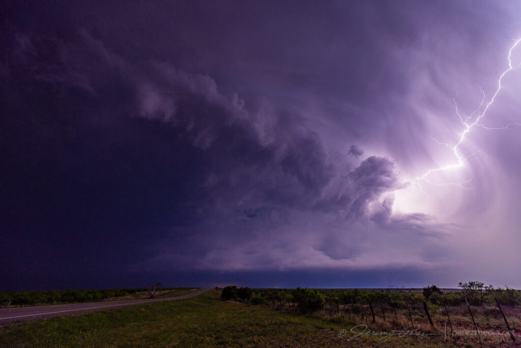
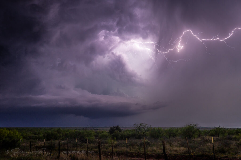
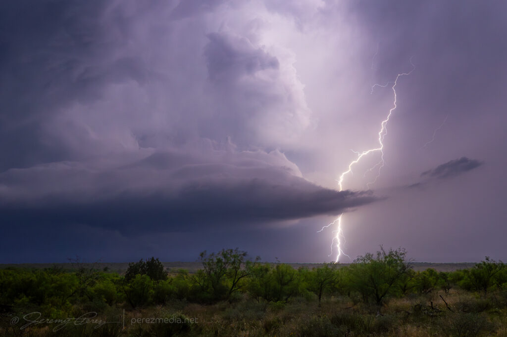
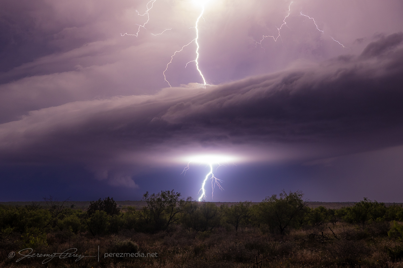
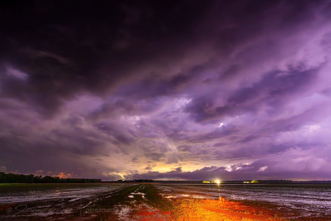
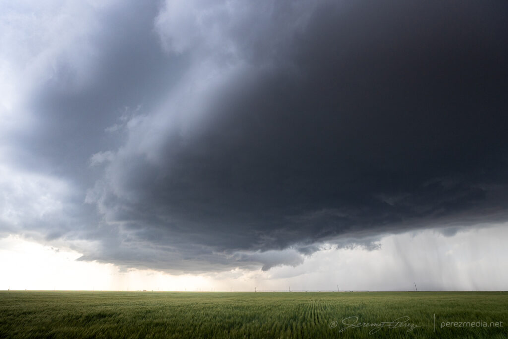
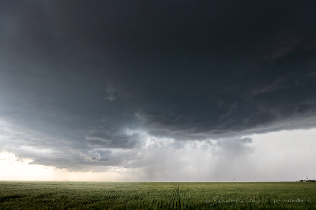
    A much heftier supercell was brewing to the south, so I headed that way for an evening light show east of Post. As I got there, the storm went elevated, shrunk down and gave up a few good strikes before going dark.

  • 3 April 2025 | Arkansas | Shelf Cloud Bust

    3 April 2025 | Arkansas | Shelf Cloud Bust

    I headed south out of Memphis and then back west into Arkansas to shoot for warm advection storms forming south of a stationary front. The best I could manage was a few quick shots of a heavy but diffuse gust front and then a lot of driving trying to get a decent angle on a supercell that just wouldn’t let me get a decent shot.

    Driving beneath a diffuse gust front near Clarksdale, MS — 2002Z
    Near Star City, AR, as a long shelf cloud moves in — 0001Z
    Fast moving and linear — 2004Z
    Advancing gust front before I got overtaken and left behind — 2008Z
    After dark, even the lightning was elusive. Near Crocketts Bluff, AR — 0137Z
  • 8 May 2014 | Virtual Storm Chase

    8 May 2014 | Virtual Storm Chase

    Chase Target: Litchfield, Minnesota

    A surface low migrates from northeast Neblaska to southwest Minnesota. A dryline/cold front drapes from east Iowa through central Kansas and western Oklahoma / central Texal with dew points into the mid 60s in the warm sector. CAPE reaches 2500 j/kg near the triple point through the northwest half of Iowa and southern Minnesota while moving rapidly northward into central Minnesota as the cold front works on occluding the surface low.

    The upper trough lifts a 60 kt mid level speed max over the dryline/coldfront/surface low. Bulk shear over the northern two-thirds of this boundary starts at 60 kts at midday and drops to 40-50 kts by evening. 0-1km SRH hits 150 m2/s2 east of the surface boundary and over 200 m2/s2 to the north and northeast of the surface low.

    Maximized EHI follows this position from far northeast Nebraska at 18Z to northwest Iowa by 21Z and southeast Minnesota by 00Z with 21Z having the greatest potential, but too strongly capped. Reflectivity forecast shows triple-point storms firing by 00Z in south-central Minnesota with large open hodographs, and marks my target area.

    Results

    Nearest Tornado Report: 38 Miles South-southeast
    Nearest Severe Report: 19 Miles South-southwest [1.5 Inch Hail]

    The warm front did not lift as far north as I anticipated from yesterday’s model runs. However, a couple supercells managed to take advantage of low level helicity along the warm front south of my target area and did produce tornadoes. One of those reports was 38 miles to the south-southeast of Litchfield.

  • UV Photography Lessons

    UV Photography Lessons

    My first attempt at photographing fluorescent minerals was pretty rough. Although the rocks looked great visually, the camera was less than pleased with the situation. I’m currently using a simple black light to do this, and I quickly realized that the huge amount of visible light produced by these lamps tends to swamp the camera’s CCD/CMOS. It really overwhelmed the actual fluorescing colors in my first batch, and I had to do a lot of heavy overall correction in Camera RAW and LAB color space.

    After doing some more research, I realized that this is just what professional grade UV lights are made to overcome. They are filtered to emit very little visible light, so that everything you do see and photograph is the result of genuine fluorescence. Because I’m not ready to invest in that kind of set up, I decided to piece together a more affordable system and see how I like it. I purchased a Long Wave UV Filter from UV Systems and paired it with a Phillips black light bulb from Home Depot. By positioning the filter above the rock, then resting the black light over the filter, I got an immediate improvement. Visually the difference was apparent, although not really spectacular. However, the photographs benefited immensely. Notice the comparison below.

    The first image is from my original set of photographs using a GE black light bulb and no filter. The second image is from my latest set of photos using the Phillips black light bulb and the Long Wave UV Fillter. These are original, unprocessed images, opened using the default Camera RAW settings, with only scaling, cropping and labeling applied.

    Original photo using GE UV bulb and no filter
     

    Latest photo using Phillips UV bulb and Long Wave UV filter

    I’ve replaced the images in that original post with the new photos, including a new angle of the rock to show a striking sliver of white running across one side.

    I had basically given up on a piece of fluorescent chalcedony from that original photo session that glowed with a soft orange. The purple overwhelmed it and I couldn’t get rid of it without eliminating the fluorescent orange too. Using the new bulb and filter I got excellent results with it last week. So I’ll eventually get that one posted here too.

  • Introduction

    Introduction

    Since October 2004, I have maintained the Belt of Venus website where I have been able to share my enjoyment of amateur astronomy. The treasures that lie deep in the vast cosmos aren’t the only things that capture my fascination. Although we lie enmeshed in an enthralling universe, this thin, beautiful bubble of life is pretty hard to ignore. If you enjoy meteorology, geology, botany, zoology–all of those -ologies, -ographies, and -anies–well, so do I. I am easily distracted. I want this to be a place where I can share some of those interests. The Belt of Venus has taken on a life of its own, and I want to keep it strongly focused, so this is where I will try to explore these other natural wonders as the opportunity arises.

  • Protected: FDSC – Flagstaff Image Scouting

    Protected: FDSC – Flagstaff Image Scouting

    This content is password-protected. To view it, please enter the password below.