January 2016 Archives

Our last chase day on the high plains was also set up to be a pretty marginal day. We headed out of Goodland toward far northeast Colorado and took in some more sights along the way.

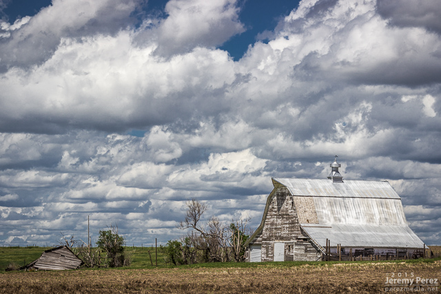
Barn in northeast Kansas

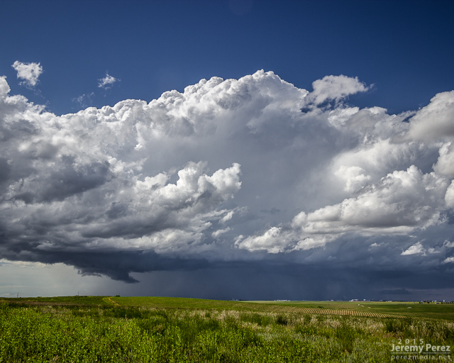
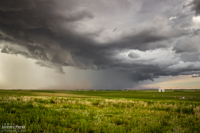
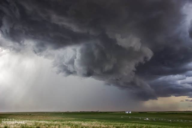
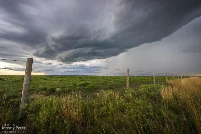
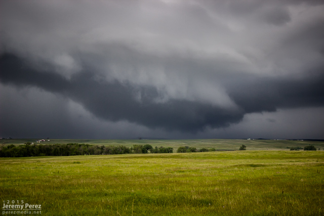
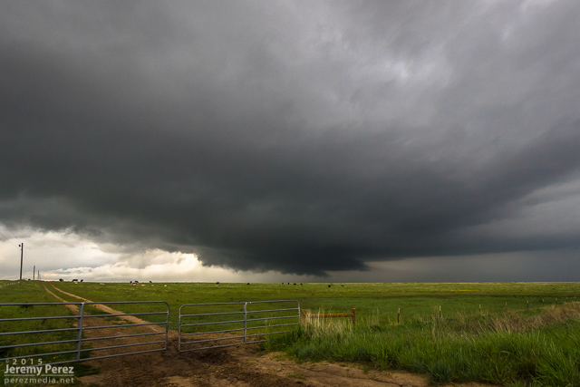
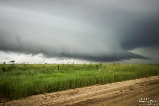
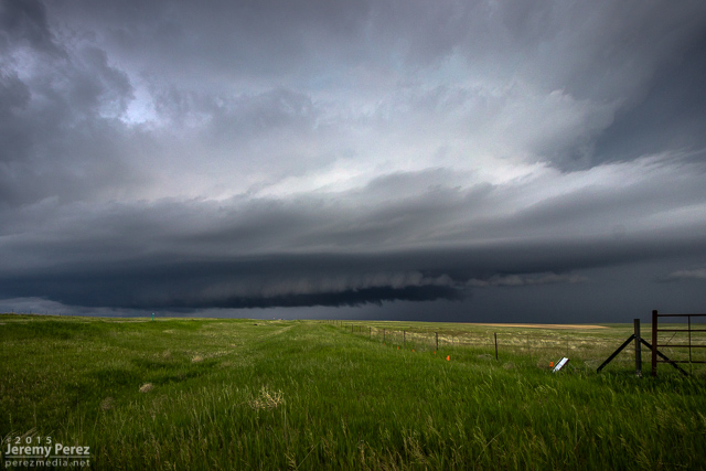
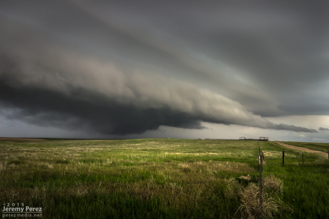
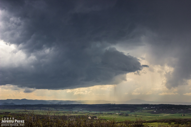
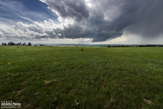
We caught our storm of the day near Holyoke as it rolled southeast out of the Nebraska Panhandle. It sported a proto-wall cloud for a while as it churned closer. It had a buddy to its east that looked better on radar at a few points, but that cell was getting seeded and the base was obscured much of the time. We had a really good view on a hilltop south of Holyoke and spent about a half hour watching both cells kick up dust storms as the western one drew some of the dust up into its updraft.

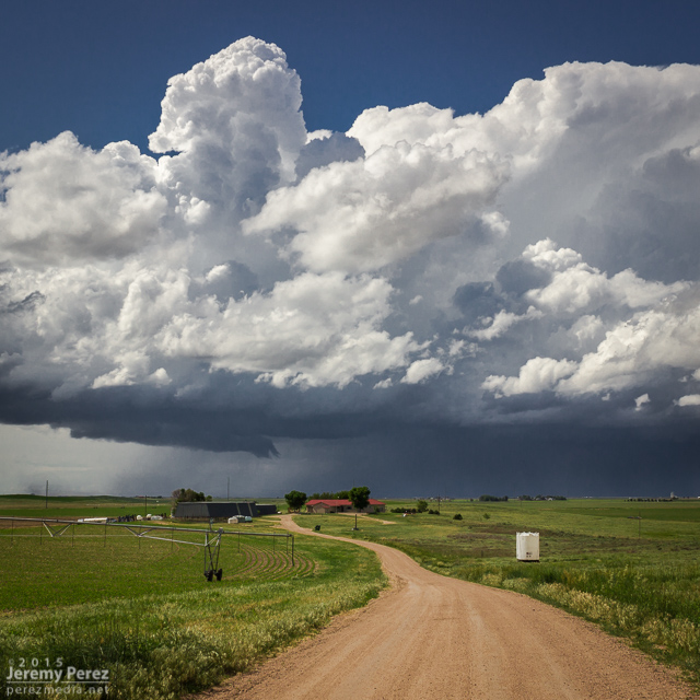
Farm and building supercell south of Holyoke || 2150Z

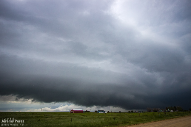
Pair of cells south of Holyoke || 2155Z

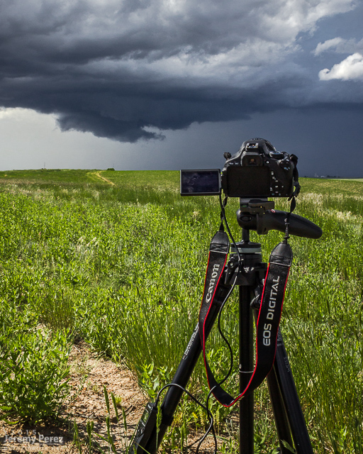
Shooting time lapse || 2200Z

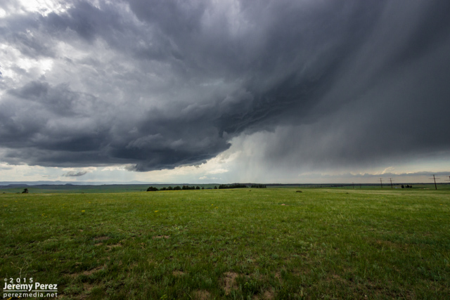
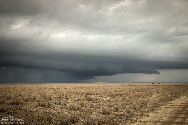
Gust fronts on both cells kicking up dust || 2210Z

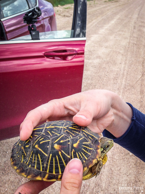
Eventually they swept by just to our north and teased some brief rotation in a quasi-RFD push, at the same time things seemed to be generally gusting out. We paced it along some pretty rugged roads through Alvin and southeast into Nebraska. The west edge of the convection wound down as the eastern cell took over. We were too far out of position on slow, twisty roads to catch it. As we wound our way back to better road options, we paused to get a box tortoise out of the road and get closer look at it.

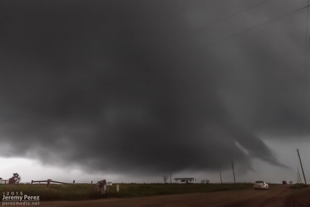
Gust front with brief rotation in a slot on the leading edge || 2215Z

Visiting with a Nebraska box tortoise

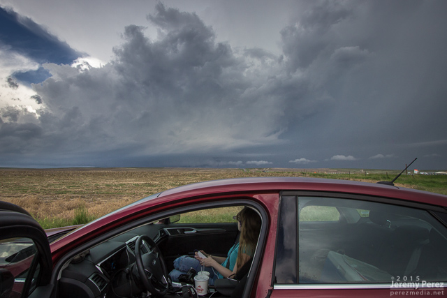
My daughter seeing if tortoise wants a grape

Some messy convection was rolling east along Highway 36. So we headed back into Colorado between Idalia and Burlington to check out the gust front before ending our trip with great sunset views.

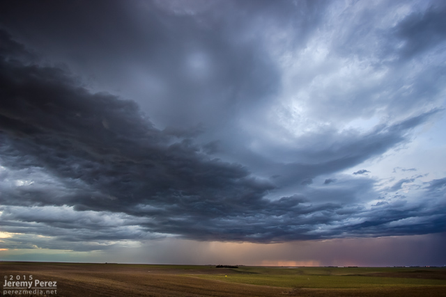
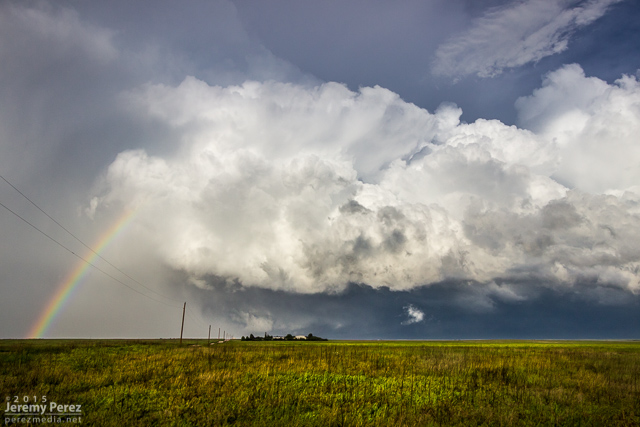
Convection struggling to stay cohesive south of Idalia || 0120Z

Advancing gust front over Burlington || 0150Z

Remains of a gust front south of Burlington || 0200Z

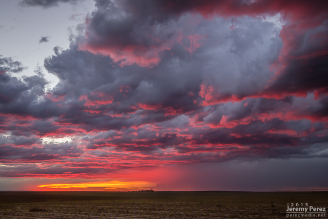
Fiery Colorado sunset || 0220Z

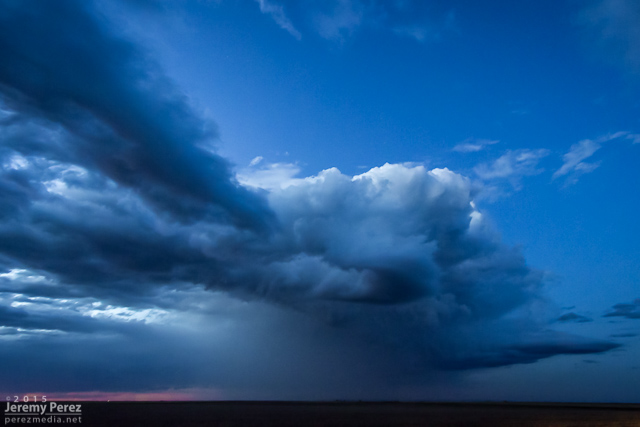
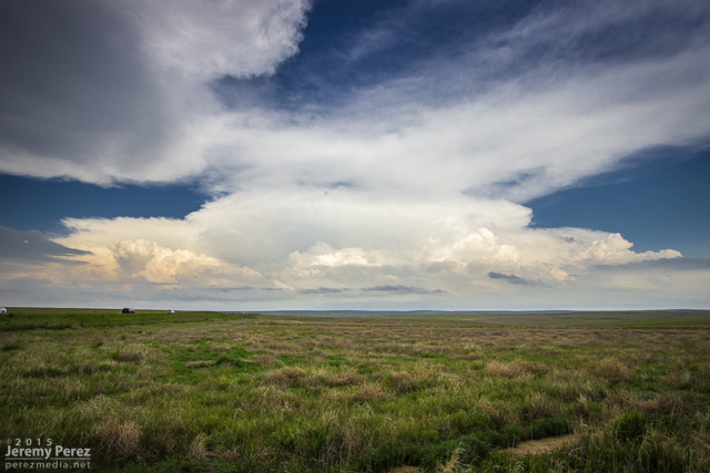
A small bit of twilight convection over far west Kansas || 0250Z

Apart from the rough road patch east of Alvin, the day was pretty easy-going and I had time for a lot of time lapse photography. Those time lapse sequences and other clips from the trip are in the first segment of the 2015 Storm Chase video I wrapped up last month.

Storms of 2015

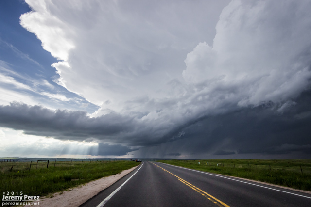
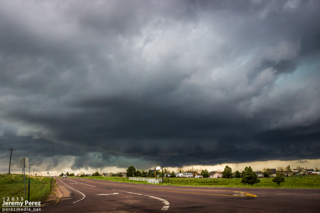
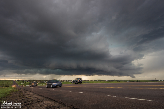
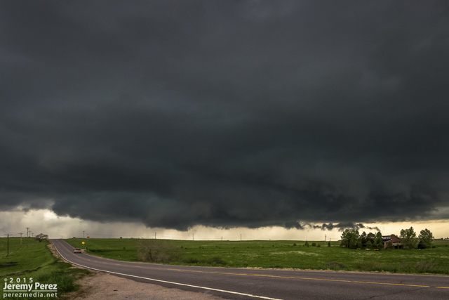
This was the craziest and best chase of our five-day trip. After overnighting in the car near Wray, we headed back to a target area east of Denver and spent about an hour with a storm that struggled south of Strasburg. I was unsure about veered wind profiles downstream in the deeper moisture, especially noting SPC guidance that storms would probably tend to grab supercell structures early on before lining out. And that's kind of what this storm was doing. It had joined some friends and wound up on the south end of a mushy line of storms moving to the east and northeast by 21Z. And it appeared to be weakening after that.
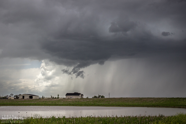
Developing storm south of Strasburg || 2020Z
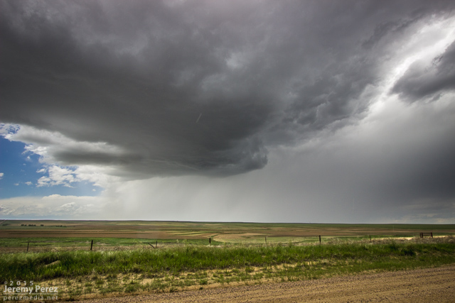
Storm struggling south of Byers || 2045Z

So I let it go, figuring I didn't want to waste energy on eventual garbage. Not a good idea, as it turns out. But I was worn out and feeling kind of sorry for myself about missing the Simla storm a couple days earlier and not seeing so much as a cold air funnel on anything yet. As we sat in a spot with horrible data for accessing current radar, I figured the whole day was probably destined to be a wreck of grungy, linear convection. To show how miserable I was making myself, I even mulled the idea of heading into Denver to catch a movie so the whole day wouldn't be a complete disappointment.
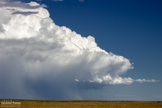
South end of line of convection moving away || 2135Z

I probably spent a good twenty minutes in my pity party, facing west, watching sad blobs of convection trying to get going over I-20. When I finally turned back 180 degrees, to my immense shock, the departing storm had separated from its linear friends and blossomed into an enormous, incredible mushroom cloud on the eastern horizon. My self pity turned to shock and then anguish. It seemed too far gone to catch up to. I had been re-defeated.
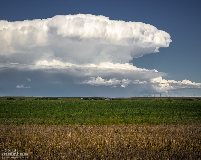
Sudden, explosive convection south of Last Chance || 2200Z

I'm not sure what kind of soliloquy I was rendering at that moment, but my daughter finally decided it needed to stop. With simple optimism: "We should try to catch it anyway." I love that kid. I'm glad she said it and glad I listened to her. We hopped on I-70 and made our way eastward. The whole time I was working the math of two moving targets and the time/location of intercept. If only the storm would stay interesting that long.
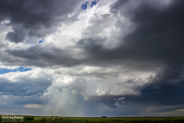
RFD and wall cloud as we approached Bethune || 2345Z

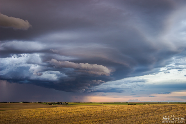
We finally caught up to it near Stratton with decent wall cloud and RFD action ongoing. Then we got ahead of it a couple miles north of Burlington. There was a sleek, saucer shaped lowering on the original meso with a new base forming to its south. I'm not sure whether that bell-shaped base was receding behind its own RFD curtain or if it was getting hidden by the developing forward flank of the new updraft. Either way, it was the greatest view of a meso handoff I've had so far.
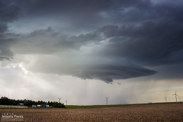
Saucer shaped base north of Burlington || 0000Z
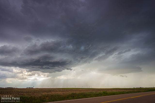
Meso handoff in progress north of Burlington || 0005Z

We were in good position on a fantastic road grid with an easy-moving storm, so the photo ops were excellent. At one stop, the new base was looking particularly awesome and I stopped to grab shots while the video camera was running. It wasn't until reviewing video later that I realized a cold air funnel had been twisting around for a couple minutes on the west side of the base.
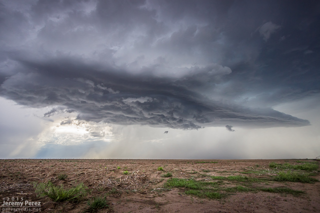
New base northeast of Burlington || 0015Z

Cold air/shear funnel behind rain free base || 0013-0016Z

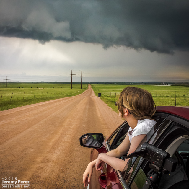
We paralleled the storm as it moved eastward. An RFD surge carved an inverted soft-serve ice cream cone into the base at one point. Not ten minutes after that, a glance out the window revealed a beautiful funnel whirling away inside some sort of strange RFD eddy on the south edge of the storm. We pulled over quickly to hop out and get shots. Time was of the essence, so we didn't wind up with the best foreground elements for photos. That issue took a back seat to the fact that we were standing on the side of the road looking up as a gorgeous funnel stared us down. Turning around to find my daughter embracing the outflow topped this off as the best storm chase turnaround ever.
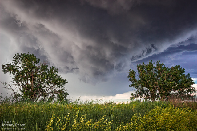
RFD carving the base northeast of Burlington || 0025Z
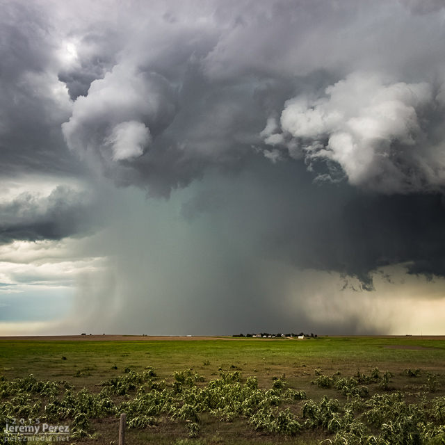
Funnel and core between Burlington and Kanorado || 0035Z
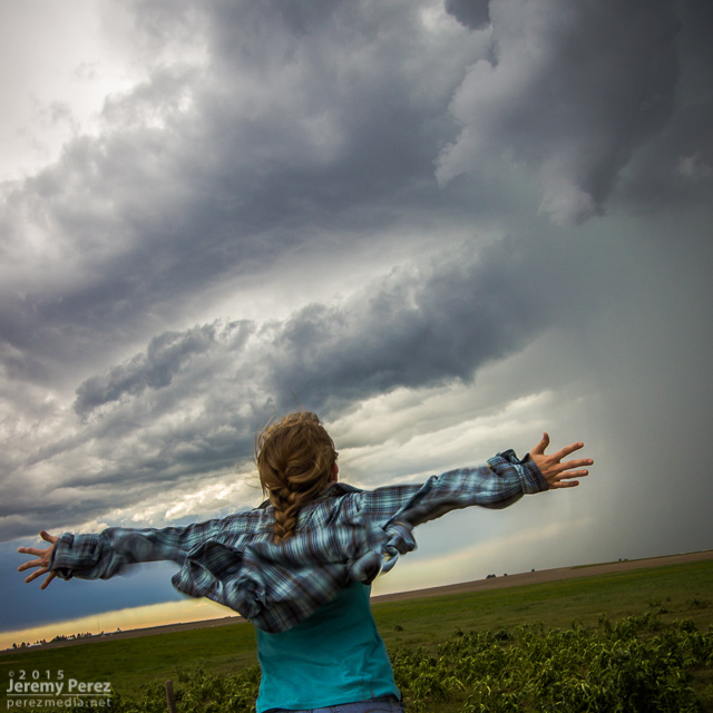
My daughter embracing the outflow as the funnel dwindles || 0035Z

By now, the storm had fallen too far behind the expanding outflow boundaries and started to wither away. So, we paused to photograph an idyllic farmscape south of Kanorado. Then we enjoyed the view of an inbound gust front moving in from Colorado before calling it a night at a comfy hotel in Goodland.
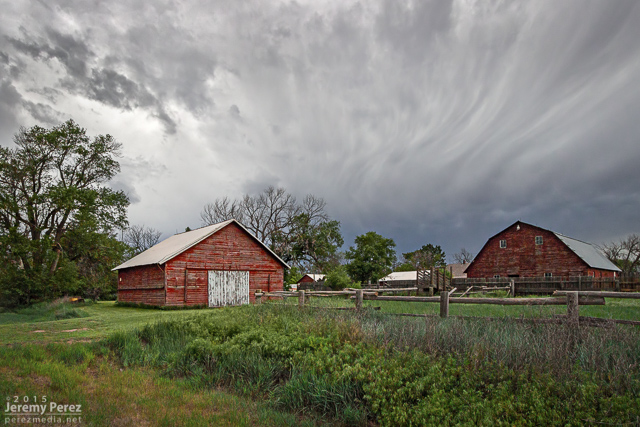
Farmstead southeast of Kanorado || 0120Z
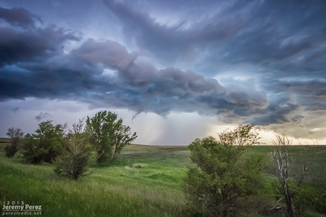
Gust front moving in south of Kanorado || 0150Z
Our third chase day came after a very late night of bailing out of our hotel as a tornado-warned storm approached Limon at 2:30 in the morning. But a hotel stay is awesome after sleeping in the car the night before, and we were close to our target area between Limon and Denver. Insolation was a problem and I think the morning's cloud cover hurt potential for the day, but we still wound up on several supercells.

We caught our first two storms on Kiowa-Bennett Road east of Denver. We followed the second one for about an hour. I made an attempt to get ahead of it on Rector-Leader Road, northeast of Byers, but had to back off. The dirt road was turning to mud the further north we went, and gust front moving in too quickly to give it a shot.

Wall cloud on supercell #1 from Kiowa-Bennett Road || 2015Z

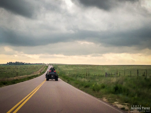
The TIV looking for another target on Kiowa-Bennett Road

Rain free base on supercell #2 from Kiowa-Bennett Road || 2055Z

Gust front south of Strasburg || 2120Z

Advancing shelf on Rector-Leader Road || 2200Z

The closest we could get || 2205Z

Road options wouldn't let us stay on that storm, so we bailed on it. While storms 60 miles to the east were getting ready to spin up tornadoes, we waited for another close optin to roll up from the southwest. This one was more strung out, but still nicely structured as it crossed Highway 36 and morphed into a beautiful shelf north of Last Chance.

Storms 60 miles to the east that eventually produced tornadoes || 2230Z

Watching as supercell #3 moves in between Byers and Last Chance || 2230Z

Supercell #3 crossing Highway 36 east of Byers || 2235Z

Gust front between Byers and Last Chance || 2240Z

Storm moving over Shamrock || 2300Z

Terraced shelf cloud north of Last Chance || 2355Z

After that, I decided to head east to see if we could thread to the other side of a couple tornado-warned storms near Kirk. It was a long shot, and didn't work out, but we eventually wound up in spectacular country along Highway 385. The lightning show north of Wray wound things down for the day.

Back side of supercell #4 facing east from Kirk || 0100Z

Sunset on the landscape south of Wray || 0150Z
Lightning show north of Wray || 0245Z

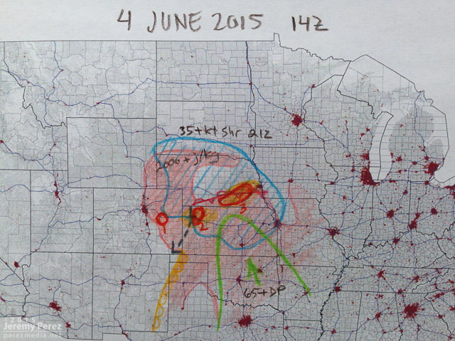
This was an incredible day for a lot of chasers who targeted eastern Colorado. If you don't already know, just run a Google image search for "Simla Colorado Tornado" and bask in the amazement. My morning forecast perusal had dabbed a target option in the Simla vicinity as an 'Upslope Magic' option. I opted for a Kansas triple point target near Oakley instead.

The morning forecast analysis

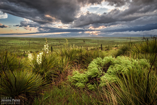
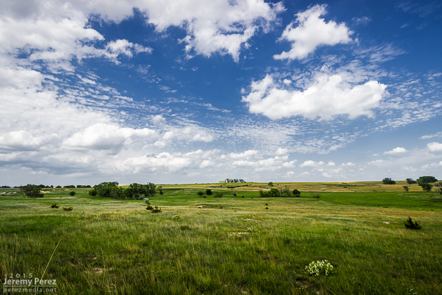
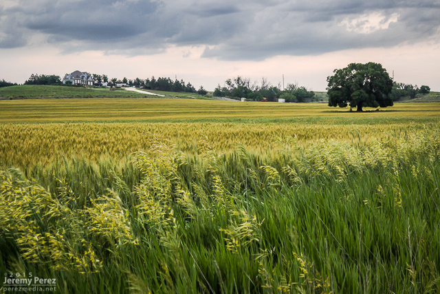
We eventually drifted even further east near Zurich where better parameters seemed to be evolving. It wound up being a long wait. This part of Kansas was strikingly beautiful and begged for some photos while we waited for the cap to break along the warm front.

Kansas countryside near Zurich || 2115Z

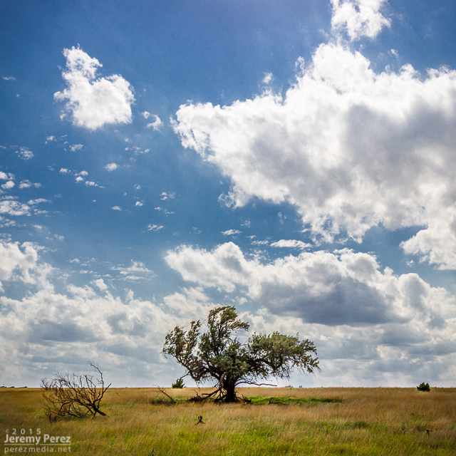
Lone tree and capped sky at Zurich || 2120Z
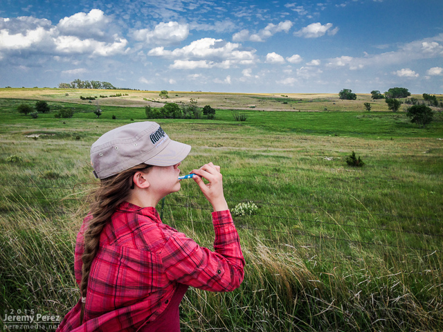
Freshening up with a view

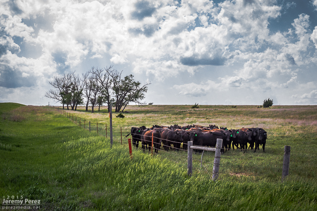
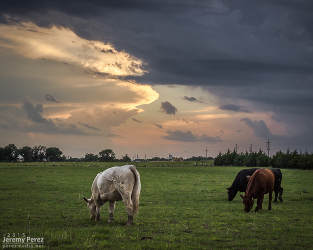
Loitering cattle that can't get any further southeast || 2140Z
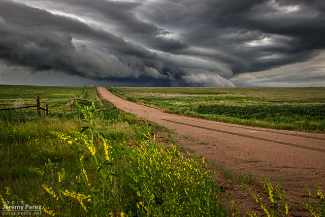
After more waiting and hoping, and getting hints of amazing things happening in Colorado, we made our way to Stockton. I was really worried the cap was going to win and we were going to wind up with a complete bust. However, as convection started to fire in western Kansas, thin bubbles of cumulus finally started trying to hold their own in our area around 8:30 PM.

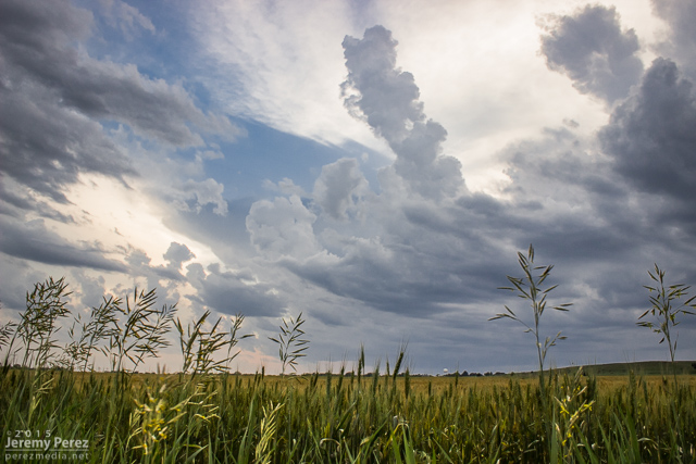
Thin streamers of cumulus finally taking a jab at the cap || 0130Z

Stockton homeowners about to get a great light show in a couple hours || 0130Z

More cattle not worried about building storms and anvils || 0140Z

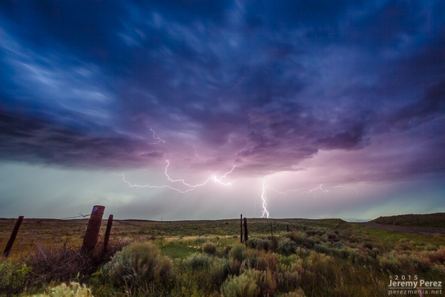
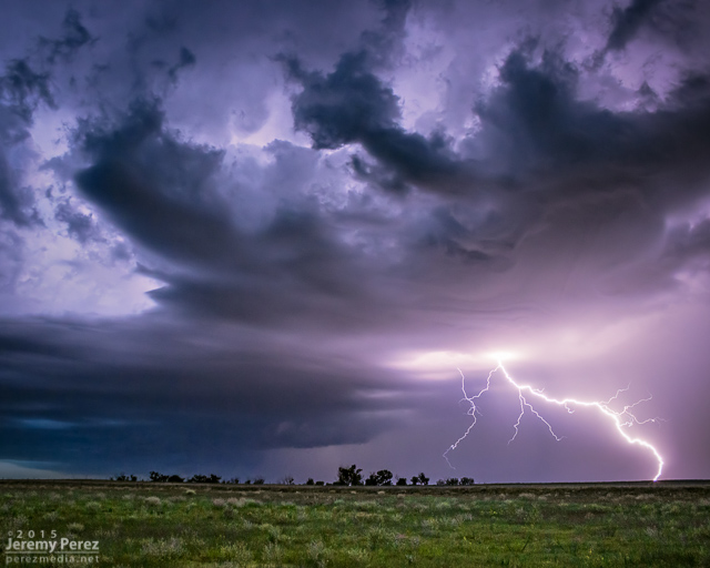
We moved back west to view a storm that quickly blew up north of Nicodemus. We stayed on this awesome, nearly stationary lightning producer while grabbing time lapse footage. A nicely lowered base swung into view to our north and lightning told a staccato tale of scuddy, ground-scraping wonders beneath.

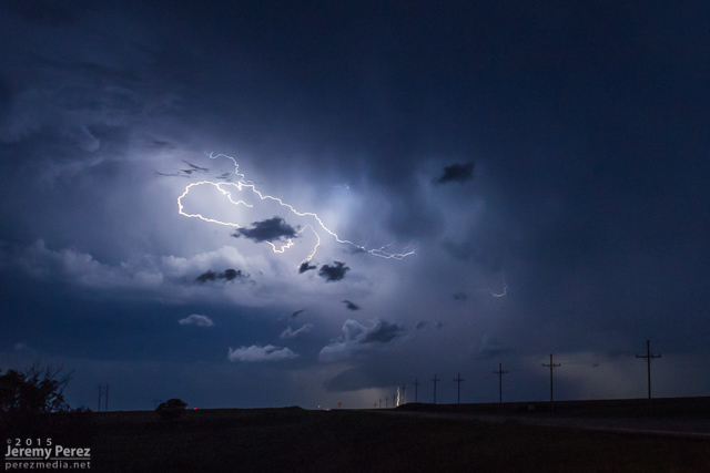
Lightning strike beneath an active supercell north of Nicodemus || 0235Z

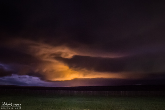
Scary scud & who-knows-what beneath the Nicodemus supercell || 0302Z

A storm further west near Seldon wound up with a tornado warning around this time. We stuck with our storm though because I figured it had as good a chance of doing the same, and it was in a lot better road position for an after dark chase. Despite tantalizing goings-on beneath the updraft, our cell never went beyond a severe warning.

After our Nicodemus storm seemed spent, we slowly made our way westward. I wanted to get back to Limon for the night, but storms were stalking our path back and I didn't want to risk hail cores or worse after dark. So we waited them out and shot a bit more lightning photography.

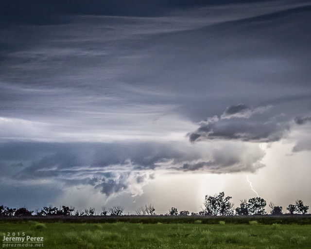
Roll cloud/shelf cloud and lightning lurking over our way to Limon || 0340Z

We made it to our Limon hotel around 2AM just in time for a cell to go tornado-warned to our west as it headed straight for town. So we got back in the car, tired and cranky, and headed south of town to let the storm move through.

Tornado-warned cell approaching Limon || 0653Z

This was the first day of a five-day chase on the high plains with my daughter. After overnighting in the car near the New Mexico-Colorado border on I-20, we made our way up to Castle Rock and watched for initiation along the front range. Before long, a worthy tower went up to our southwest and got sheared into an impressively long escalator of cumulus.

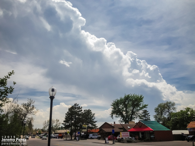
Convection southwest of Castle Rock || 2030 UT

We repositioned further southeast to the east side of Lake Gulch to get in front of it and watch it develop. Before long, we had a beautifully sculpted supercell over the gorgeous Colorado landscape. This is such an incredible place to watch a storm evolve.

Supercell over Perry Park || 2115 UT

Supercell over Perry Park || 2130 UT

Supercell over Castle Rock || 2155 UT

Supercell over Castle Rock || 2210 UT

Gust front moving to our north from southwest of Elizabeth || 2255 UT

We eventually found ourselves east of Kiowa on Highway 86 as the storm grew more linear and started to wither away.

Old and new cells along Rt 86, east of Kiowa || 0005 UT

Further west, another cell had taken over and was looking pretty serious as it moved over Elizabeth. Rotation developed in the base as it drifted eastward, but it never wrapped up tightly enough to do more than that.

New supercell churning over Elizabeth || 0023 UT

New supercell churning over Elizabeth || 0025 UT

New supercell churning over Elizabeth || 0040 UT

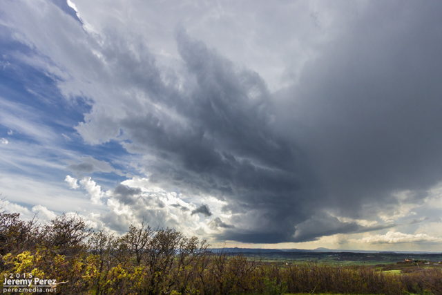
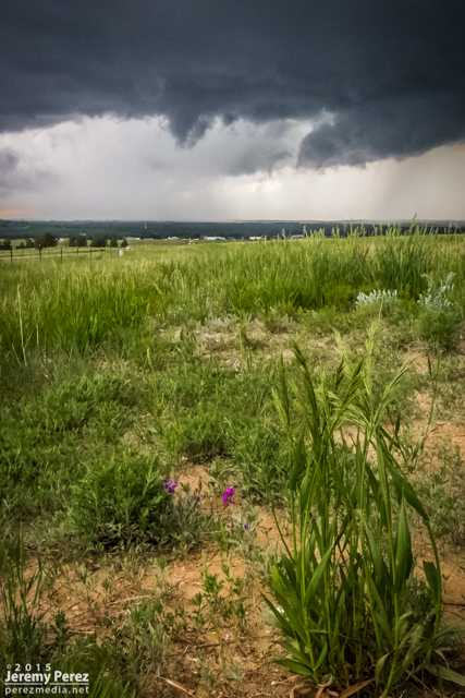
Wildflowers and messy RFD core east of Kiowa || 0050 UT

We followed it as it started to move more to the northeast getting an excellent twilight lightning show out of it before calling it a day.

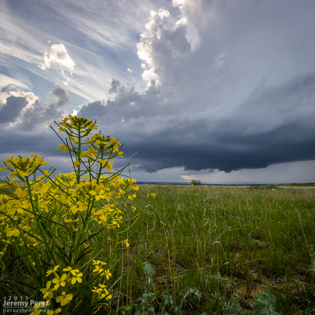
Wildflower and departing supercell near Spring Gulch || 0140 UT

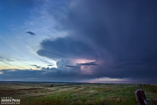
Twilight view of a departing supercell from Wilson Creek || 0300 UT

Storms of 2015

2015 went down as another year without a tornado. However, awesome weather was still in abundance, and I got to enjoy some exhilarating storms with at least one gorgeous, white funnel that stared us down between Burlington, Colorado and Kanorado, Kansas.

This year I put a lot more effort into tracking down mesocyclone potential in Arizona and wound up with some beauties. Three of them were solid, daylight examples of Arizona supercells, with deep rotation lasting over an hour. A couple more nocturnal supercells hid their structure behind terrain and darkness while other daylight examples of rotating storms were more transient and weak—but still fascinating during their brief, messy lives.

This is a video and time lapse compilation some of the amazing storms I chased and photographed across the high plains and Arizona in 2015.

Storms of 2015

Music:
Beautiful Shapes by Louis Romanos Quartet
Forgotten Shore by Dhruva Aliman
beatpick.com