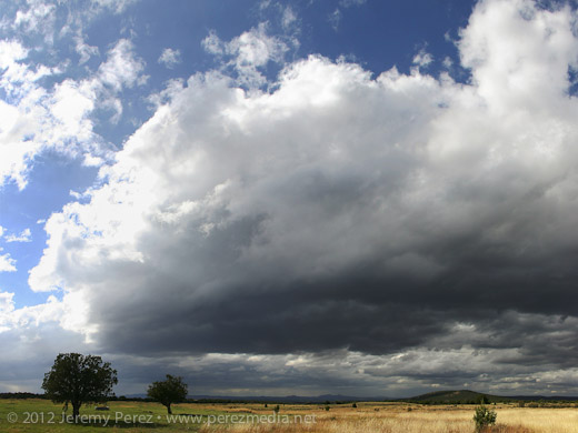
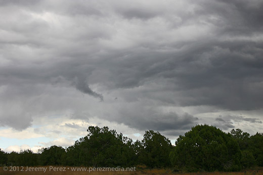
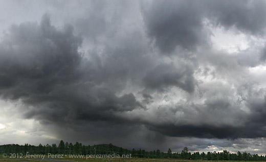
Today looked like it might be an exciting weather day in Arizona with a cutoff low moving inland from the California coast. Instability was modest, but bulk shear and helicity were high enough to open up the possibility of organized storms and possibly brief supercell structures. I headed out toward Ash Fork on I-40 and gradually made my way back toward Flagstaff as the lines of convection developed eastward. West I-40 laughed at me and didn't pan out for organized storms. (There were a few rotating cells that developed between Cordes Junction and Verde Valley, and out east between Payson and Showlow later in the evening.) Still, all the shear did some nice sculpting on the cloudscapes.
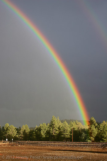
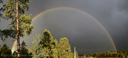
Near Parks, I was greeted by the most intense rainbow I think I've ever seen. I remember thinking to myself that it looked as brilliant as a fist full of light sabers. Just smashing color straight into the forest. No surprise--the photos don't do it justice. But it was a great view to cap off what was otherwise a bust for severe storms.
12X Time Lapse Video of the Storm and Rainbow
