I had a nice local storm chase today. I headed west, past Wiliams, to catch storms as they started firing and hopefully ride them east with some road network testing along the way.
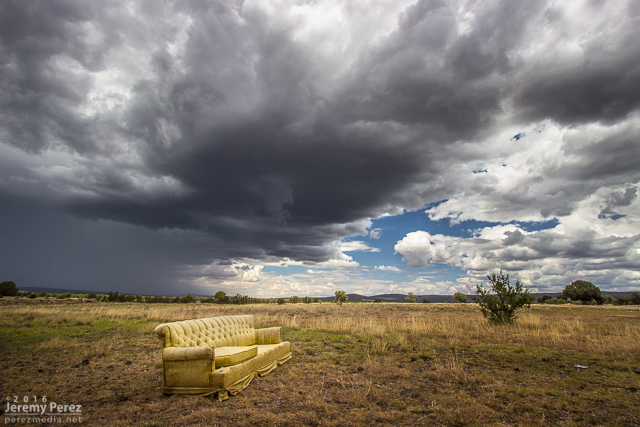
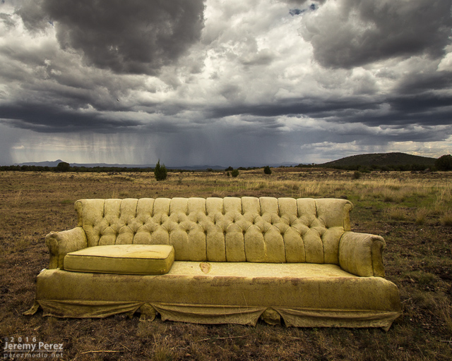
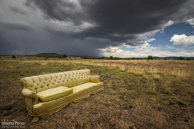
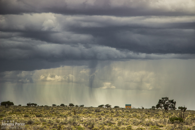
A little after noon, I took an exit at Welch Road a few miles east of Ash Fork to get some shots as convection was developing to the west. Somebody had kindly donated* a sofa. It was facing the wrong way, but I was not tempted by its mysterious comforts.
As cells blew eastward, I cruised up to Williams and took Rt. 64 north to see what would pop up next on the outflow. I stopped a bit south of Valle to watch a transient lowering, as one does when trying to randomly spot landspouts. While I was there, another chaser, Jonathan Triggs, from Grand Canyon Village stopped to say hi before making his way toward Flagstaff. Convection at this point was pretty laid back, wimpy and grungy as I circled back southeast on Hwy 180.
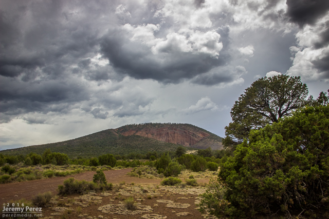
Made a stop at Red Mountain for a quick look around—I need to hike this cinder cone some day - 2119Z
Although I’d been hoping for a chance of a developing cell drawing up some vorticity as the gust front passed the San Francisco Peaks, it seemed pretty unlikely at this point. So I decided to run an audit of one of the forest service roads, north of the Peaks in the no-man’s-land between Hwy 180 and 89.
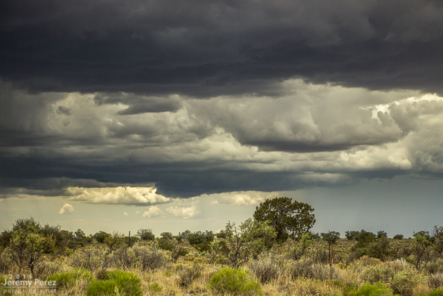
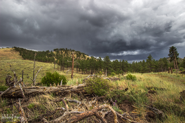
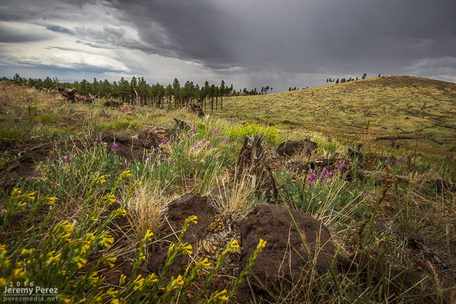
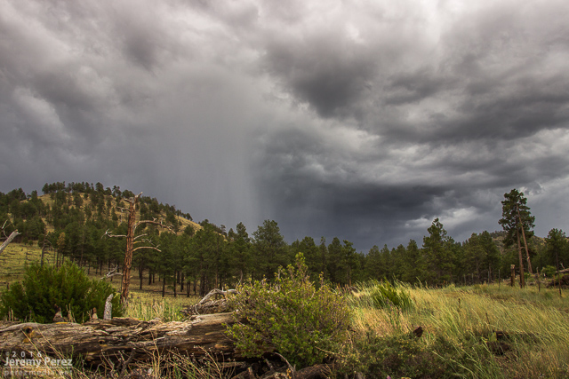
I got about three miles in, before the likelihood of getting stuck and busting my car in the rocky, cratered road became too great. I stopped and found a spot to hike up a hill to get some shots of a pretty decent cell popping up north of the Peaks by that time. Lots of terrain mostly blocked the view as it continued eastward and joined a strong line of storms that moved off onto the Navajo and Hopi Reservations.
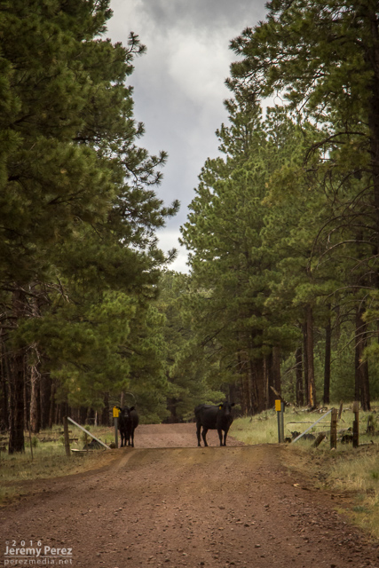
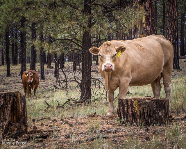
After shooting a few angles, I made my way back down toward Hwy 180 and did a bit of Coconino Cow Spotting before calling it a day.
*dumped