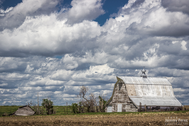
Our last chase day on the high plains was also set up to be a pretty marginal day. We headed out of Goodland toward far northeast Colorado and took in some more sights along the way.
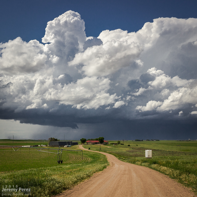
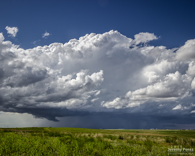
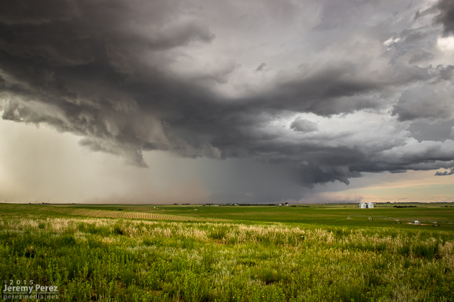
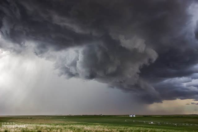
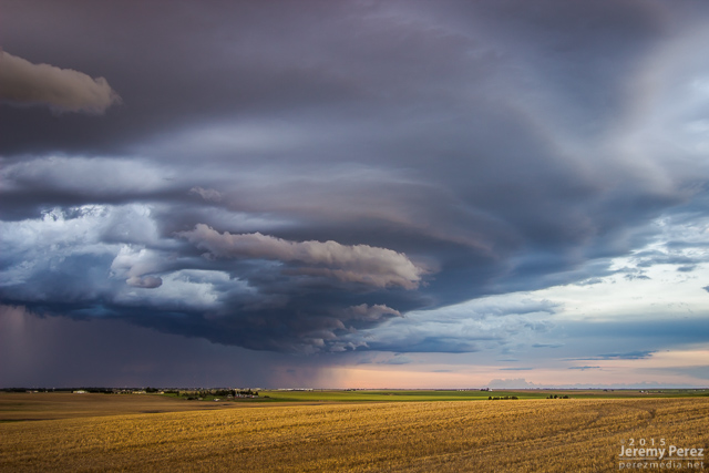
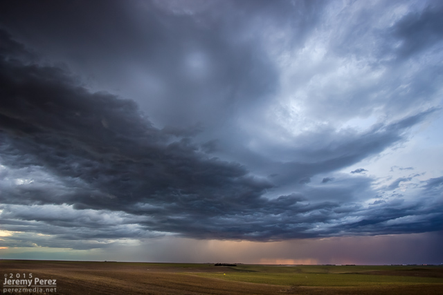
We caught our storm of the day near Holyoke as it rolled southeast out of the Nebraska Panhandle. It sported a proto-wall cloud for a while as it churned closer. It had a buddy to its east that looked better on radar at a few points, but that cell was getting seeded and the base was obscured much of the time. We had a really good view on a hilltop south of Holyoke and spent about a half hour watching both cells kick up dust storms as the western one drew some of the dust up into its updraft.
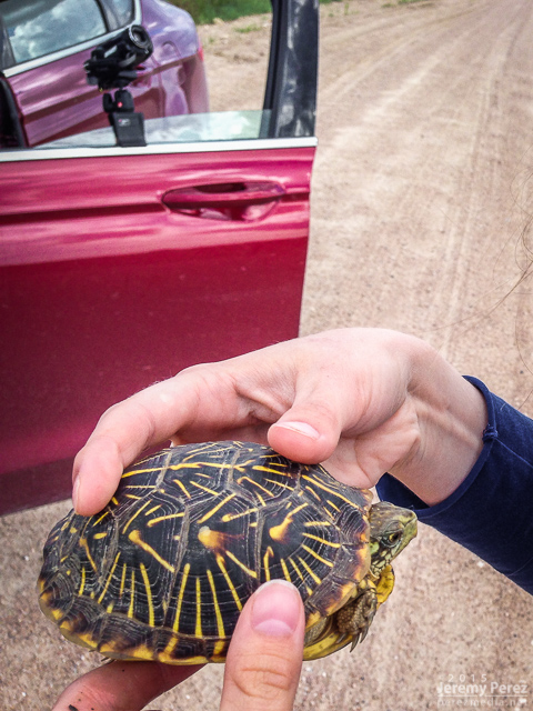
Eventually they swept by just to our north and teased some brief rotation in a quasi-RFD push, at the same time things seemed to be generally gusting out. We paced it along some pretty rugged roads through Alvin and southeast into Nebraska. The west edge of the convection wound down as the eastern cell took over. We were too far out of position on slow, twisty roads to catch it. As we wound our way back to better road options, we paused to get a box tortoise out of the road and get closer look at it.
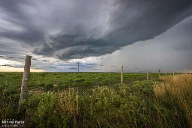
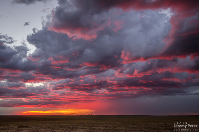
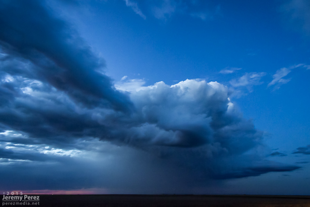
Some messy convection was rolling east along Highway 36. So we headed back into Colorado between Idalia and Burlington to check out the gust front before ending our trip with great sunset views.
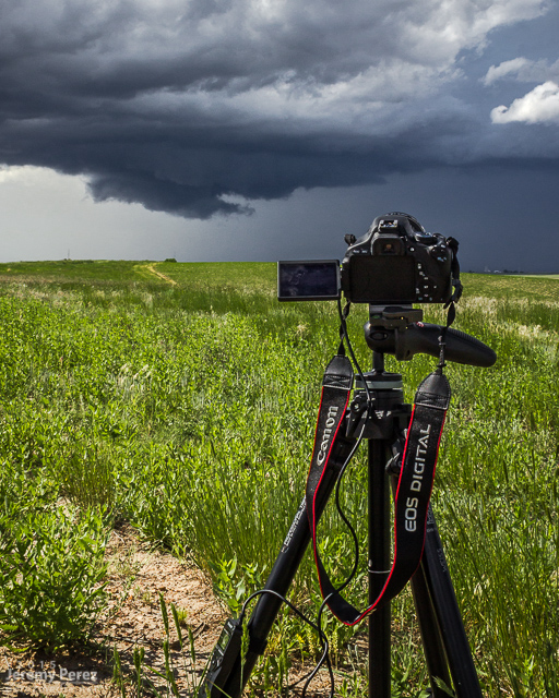
Apart from the rough road patch east of Alvin, the day was pretty easy-going and I had time for a lot of time lapse photography. Those time lapse sequences and other clips from the trip are in the first segment of the 2015 Storm Chase video I wrapped up last month.
